maps-prints.com
✦
Black Friday Sale
Friday 20 to Monday 30 November: up to 30% off original antique maps and prints
The terms
- Up to 30% off selected original antique maps and prints. Every piece is an original, printed in its own time; none is a reproduction.
- The sale runs from Friday 20 November to Monday 30 November. Sale prices shown here apply from Friday 20 November; until then pieces are sold at their regular price.
- Free FedEx shipping on qualifying orders placed on our own websites: USA, Canada, UK and Europe over $500 / €450; rest of the world over $750 / €675. Smaller orders pay our normal shipping rate.
- Orders placed from 15 to 30 November ship from 1 December, in time for Christmas. Our shipping partner is InXpress.
- Each piece is unique, so the sale is while stock lasts.
Collection:AllAmericanSea chartsMilitaryNatural historyFashionArchitectureBotanicalSacredEast Indies
Sale prices apply from Friday 20 November. Save the pieces you like with the heart and come back on Friday.
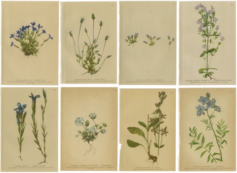 Antique Botanical Prints Alpine Gentians Set of 8, Chromolithographs, 1897
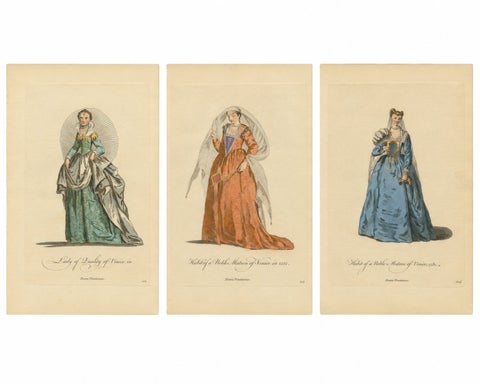 Venetian Noblewomen in Renaissance Dress – Hand-Colored Costume Prints, 1749
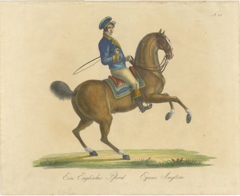 Regency English Horse Lithograph by Brodtmann, Equus Angliae, 1816
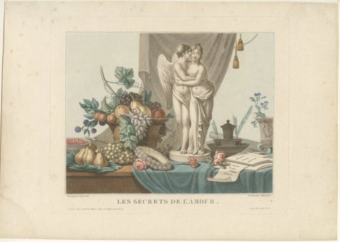 Les Secrets de l'Amour – Original French Color Stipple Engraving, c.1800
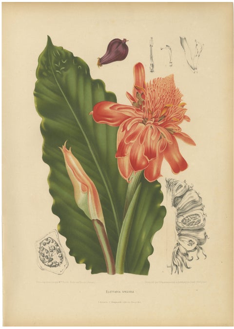 Antique Botanical Chromolithograph of Torch Ginger by Hoola van Nooten, c.1880
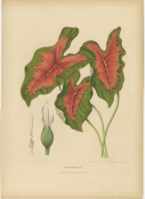 Heart of Jesus Caladium – Original Antique Botanical Print by van Nooten, c.1880
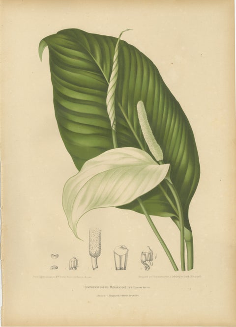 Original Antique Peace Lily Botanical Chromolithograph by Hoola van Nooten, 1880
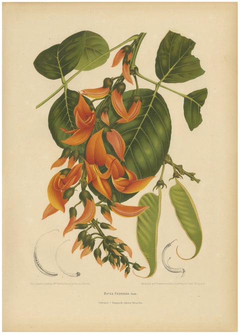 Original Antique Flame of the Forest Botanical Chromolithograph, ca.1880
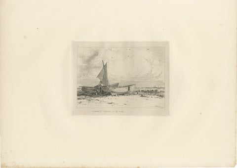 Antique Great Yarmouth Fishing Boats Maritime Etching by E.W. Cooke, 1828
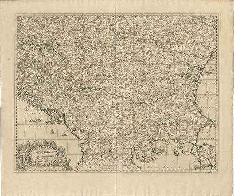 Large Map of the Habsburg–Ottoman War, Hungary & Balkans, 1729
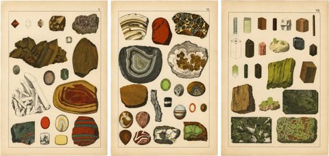 Three Antique Mineralogy Chromolithographs, Quartz, Agate & Tourmaline, 1888
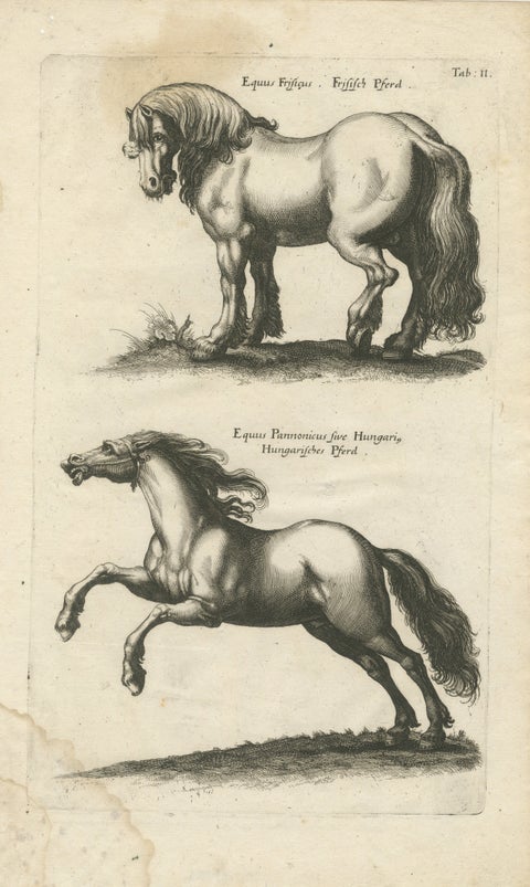 Early Frisian and Hungarian Horse Engraving by Jonstonus & Merian, 1650
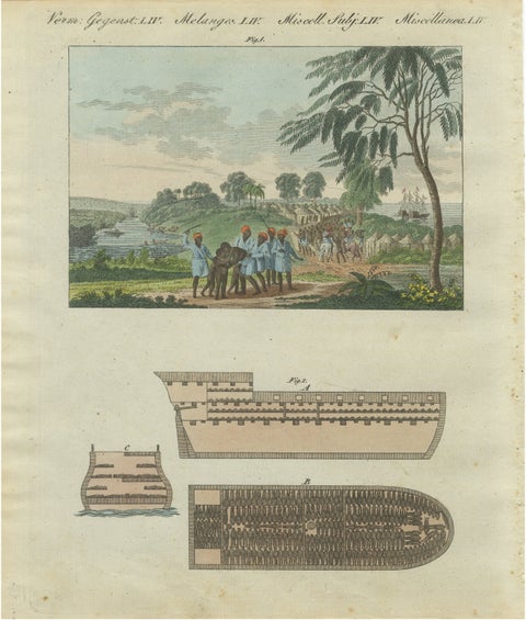 Bertuch African Slave Trade & Slave Ship Engraving, 1805
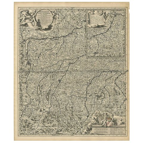 Antique Map of Upper Bavaria, Germany, circa 1690
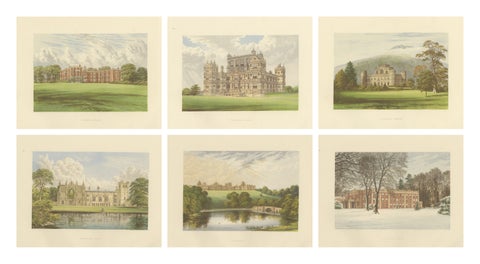 Victorian Country House Views – Trentham, Wollaton, Inveraray, Fountains, c.1850
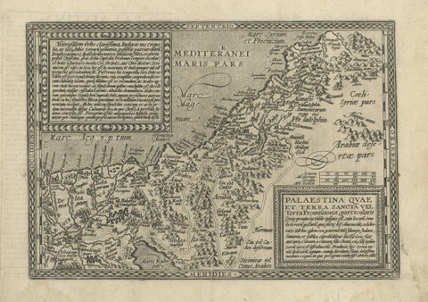 Rare 16th Century Map of the Holy Land and Palestine by Matthias Quad, ca.1599
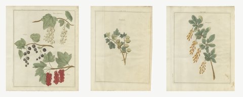 Set of Three Bush Fruit Plates: Currants, Gooseberries, Barberries, 1790
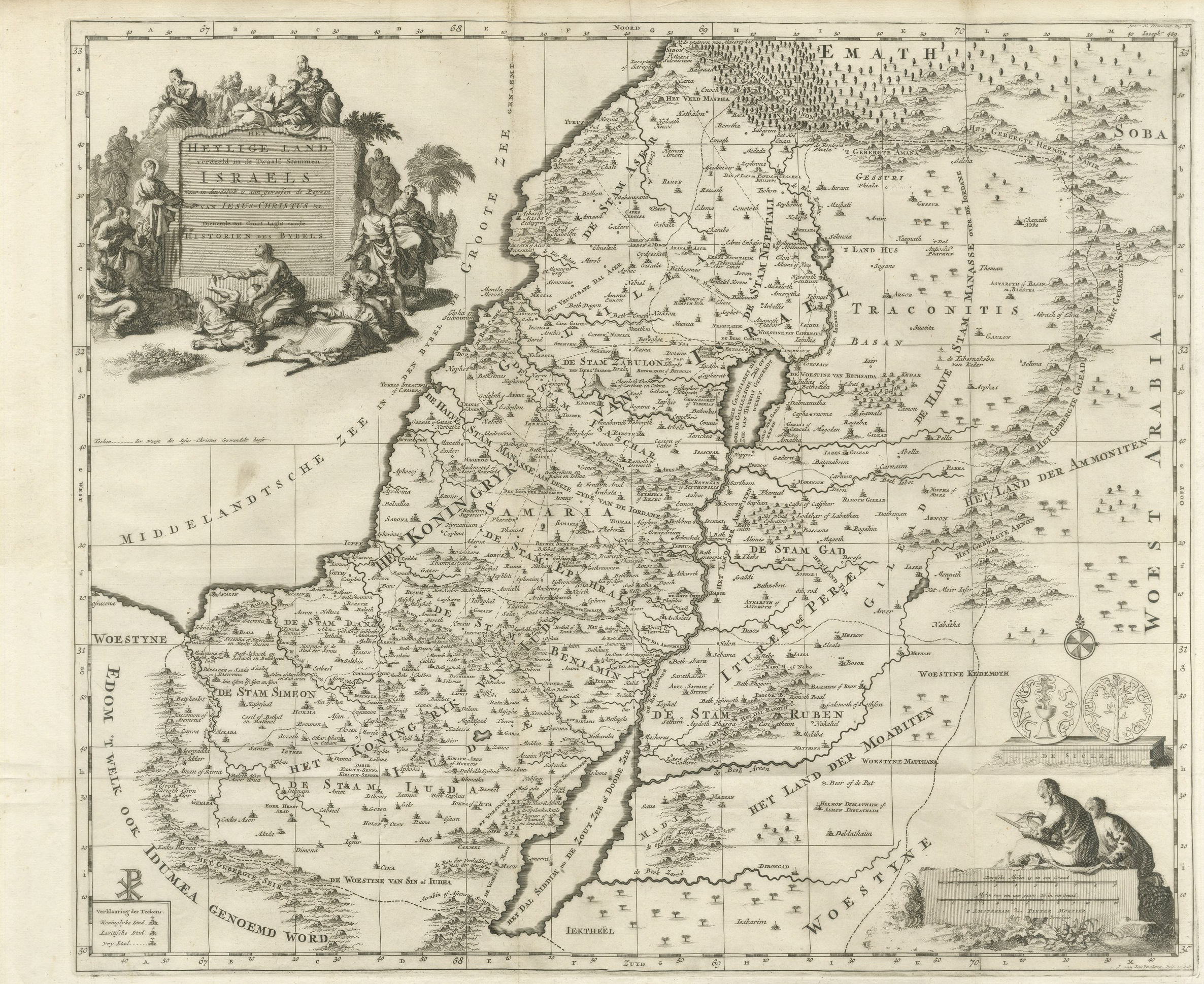 The Holy Land Divided into the Twelve Tribes of Israel, Mortier, 1700
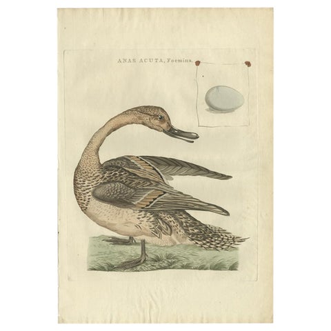 Anas acuta foemina – Northern Pintail Female with Egg by Nozeman & Sepp, 1789
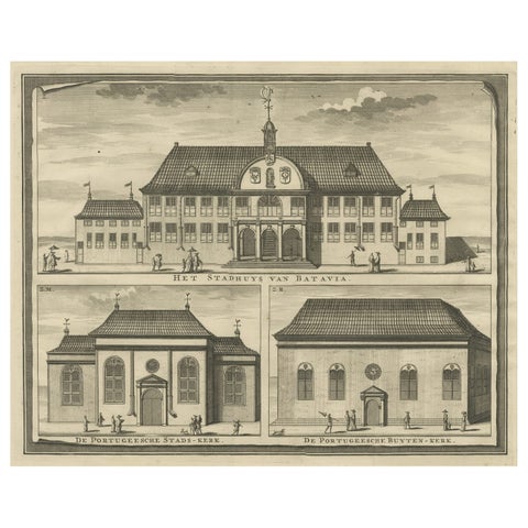 View of the City Hall of Batavia and Portugese Church in Nowadays Jakarta, 1726
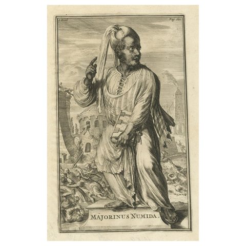 Antique Engraving of Majorinus, Bishop of Carthage of the Donatist Sect, 1701
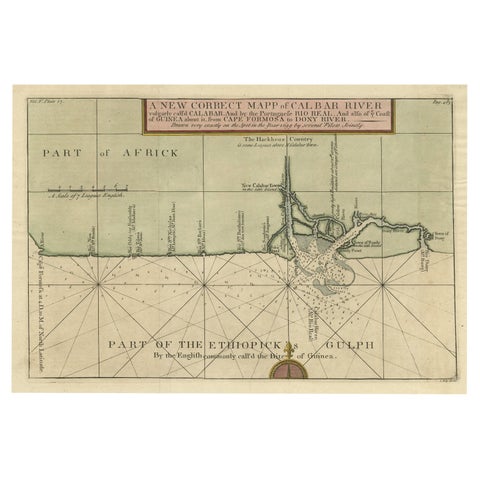 Authentic Map of the Coast from Cape Formosa to the Dony River, Africa, 1732
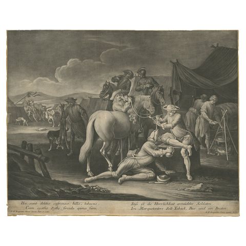 Mezzotint of Soldiers Near the Sutler's Tent for Tobacco, Beer and Meat, Ca.1750
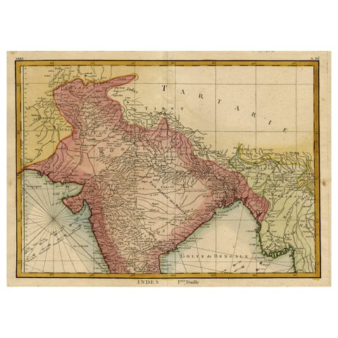 Original and Colourful Map of Northern India with Surrounding Regions, 1783
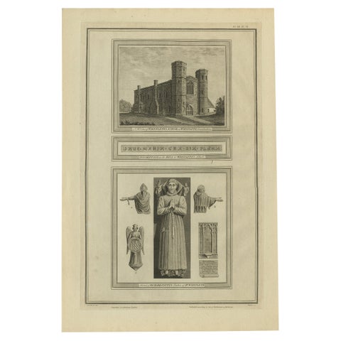 Wainflete’s School and Tomb of Richard Patten – Antique Engraving, 1790
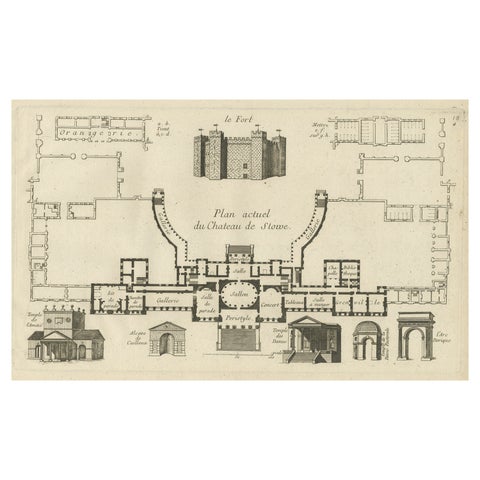 Antique Print of the Stowe House in Stowe, Buckinghamshire, England, c.1785
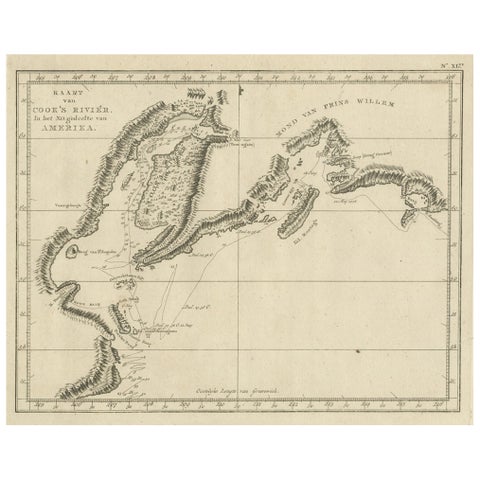 Original Chart Showing the Region between Cape Grenville and Cape Suckling, 1803
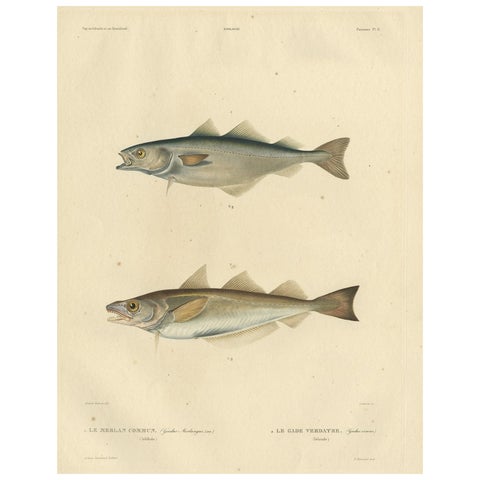 Original Antique Hand-coloured Fish Print of the Whiting, Merling & Saithe, 1842
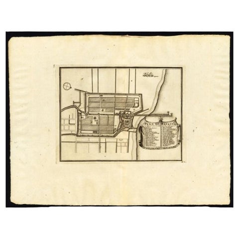 Antique Plan of Batavia, Capital of the Dutch East Indies, by Van Der Aa, 1725
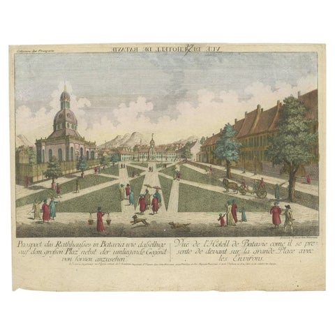 Antique Print of the Town Hall of Batavia or Jakarta in Todays Indonesia, 1770
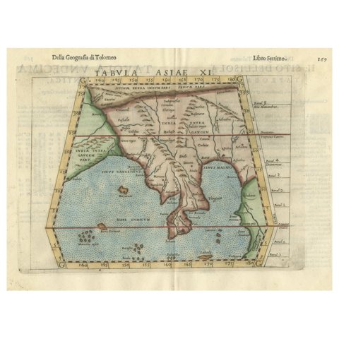 Original Antique Ptolemaic Map of the Region of Thailand and Malaysia
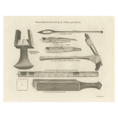 1793 Ethnographic Engraving of Otaheitean Tools in Tahiti, French Polynesia
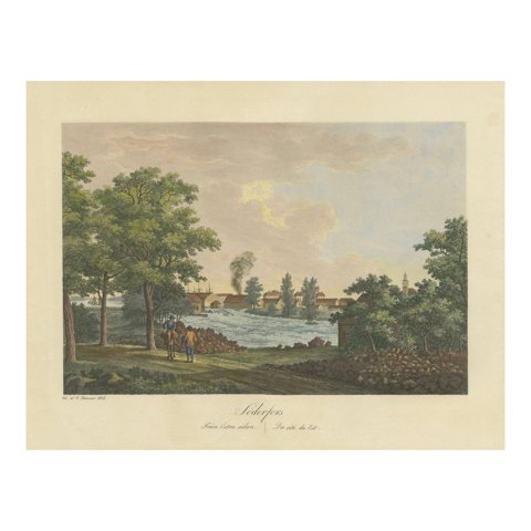 Bucolic Tranquility: Söderfors in Sweden by Ulrik Thersner, 1825
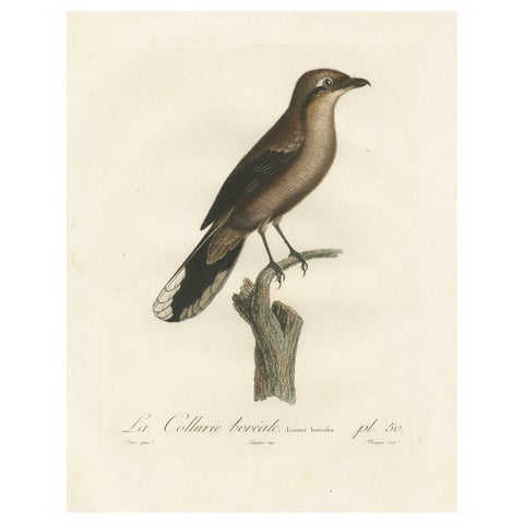 An 1807 Large Hand-Finished Ornithological Study of a Northern Shrike
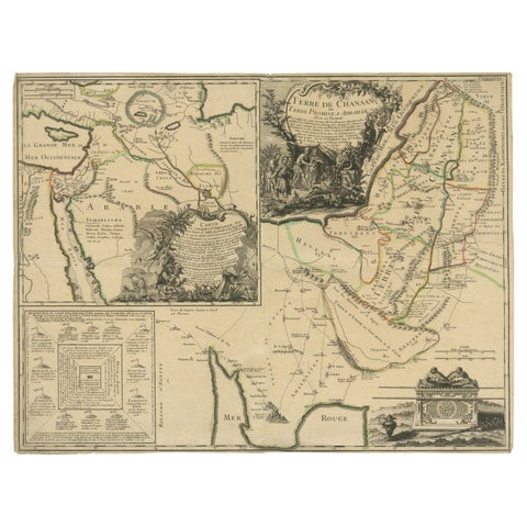 Old Map of Arabian Peninsula and Canaan, Highlighting Biblical Territories, 1750
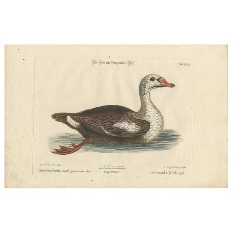 Hand-Colored Engraving of the Duck with a Grey Head by Johann Seligmann, ca.1770
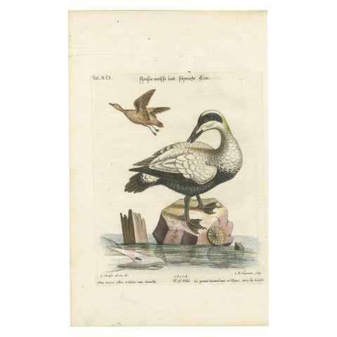 Hand-Colored Engraving of the Large White and Black Duck by Seligmann, ca.1770
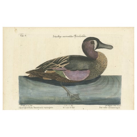 Hand-Colored Engraving of the American Variegated Teal by Seligmann, ca.1770
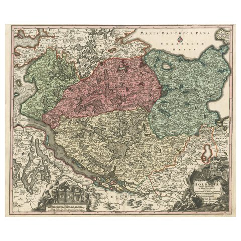 18th-Century Map of Holstein and Surrounding Duchies by Homann Heirs
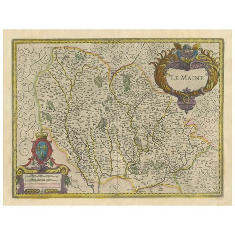 Map of Le Maine by H. Hondius, 1633, Hand-Colored, Decorative and Historic
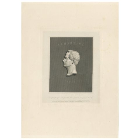 Portrait of Alphonse de Lamartine – Stipple Engraving after David d’Angers, 1843
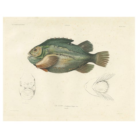 French Fish Illustration – Lumpsucker or Lumpfis – Hand-Colored Litho, 1845
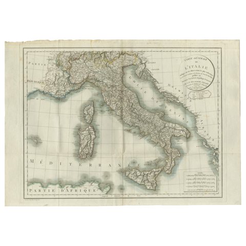 Map of Italy and Neighboring Regions by Delamarche – Antique Map, c.1800
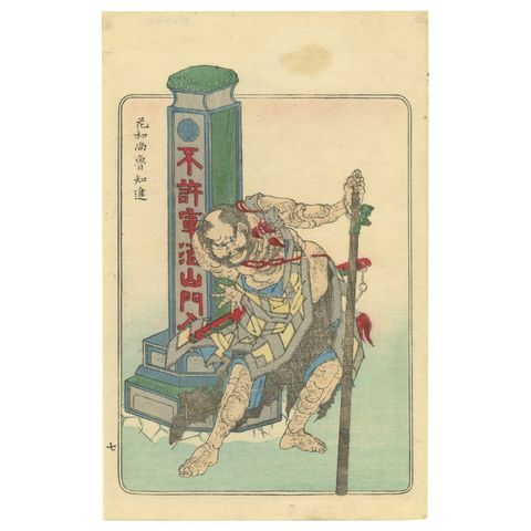 Japanese Edo Warrior Print – Temple Guardian with Halberd, c.1850
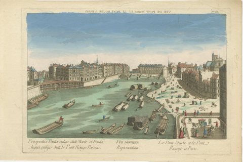 Pont Marie and Pont Rouge in Paris – Hand-Colored Optical View, ca. 1770
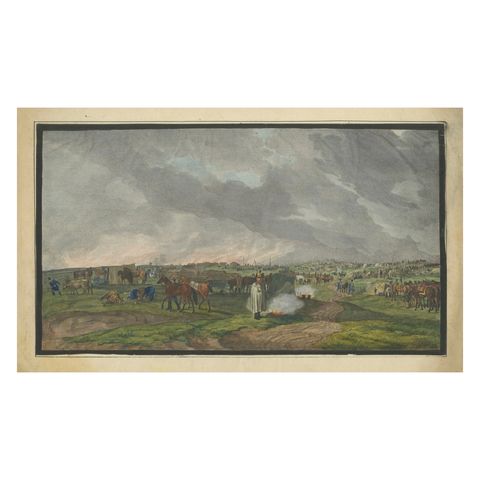 Napoleonic Military Encampment - Hand-Coloured Panoramic Aquatint, c1810
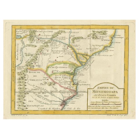 Monomotapa Empire Map – East Africa, French Cartography, c.1740
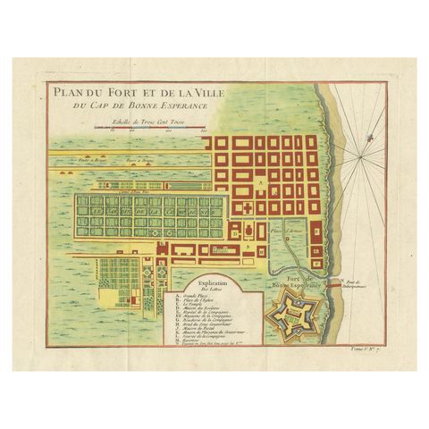 Cape of Good Hope – Fort and City Plan, French Colonial Map, c.1765
Sharing the sale? Download the Black Friday banners.