About this sheet
Antique Map of Italy and Surrounding Regions by Delamarche, circa 1800
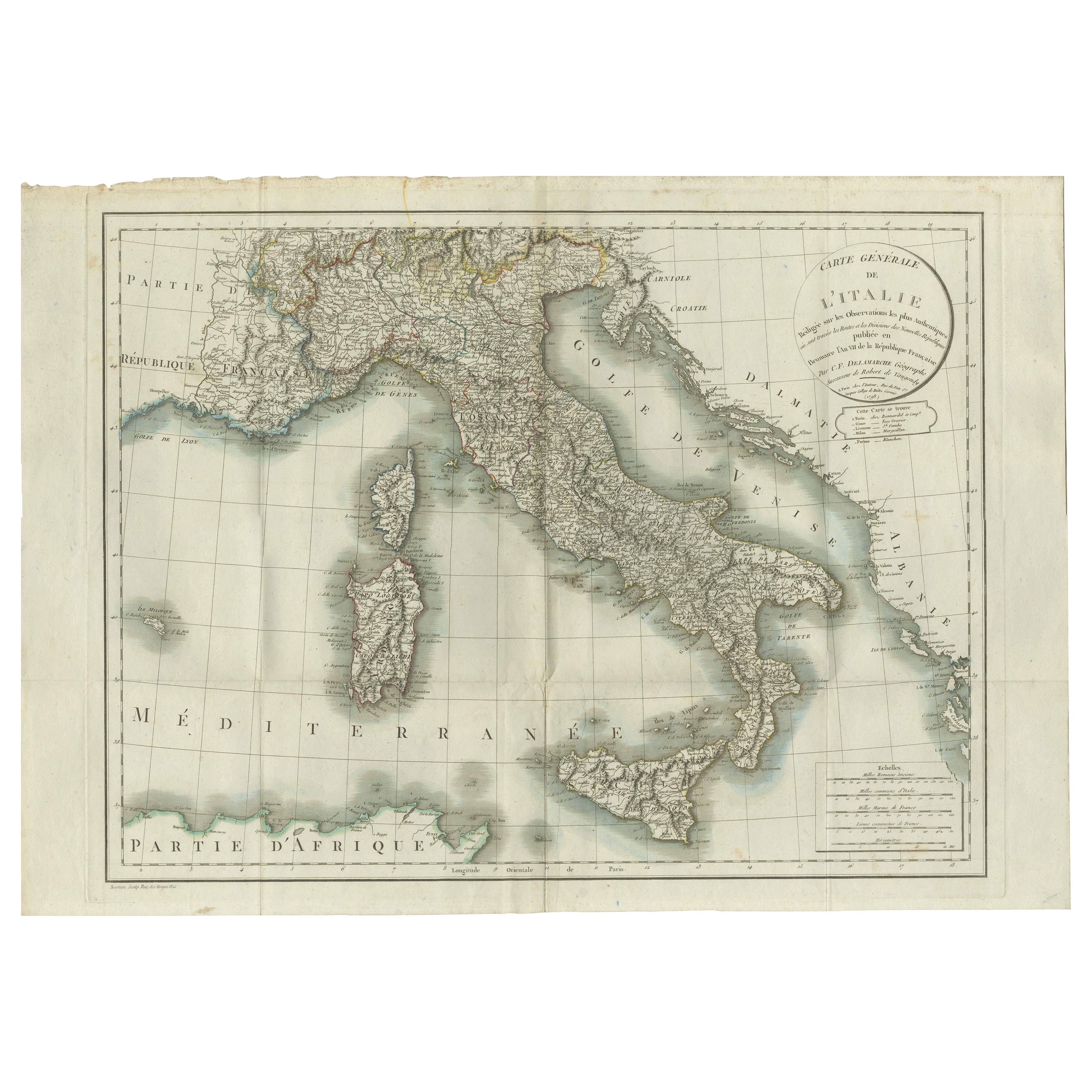
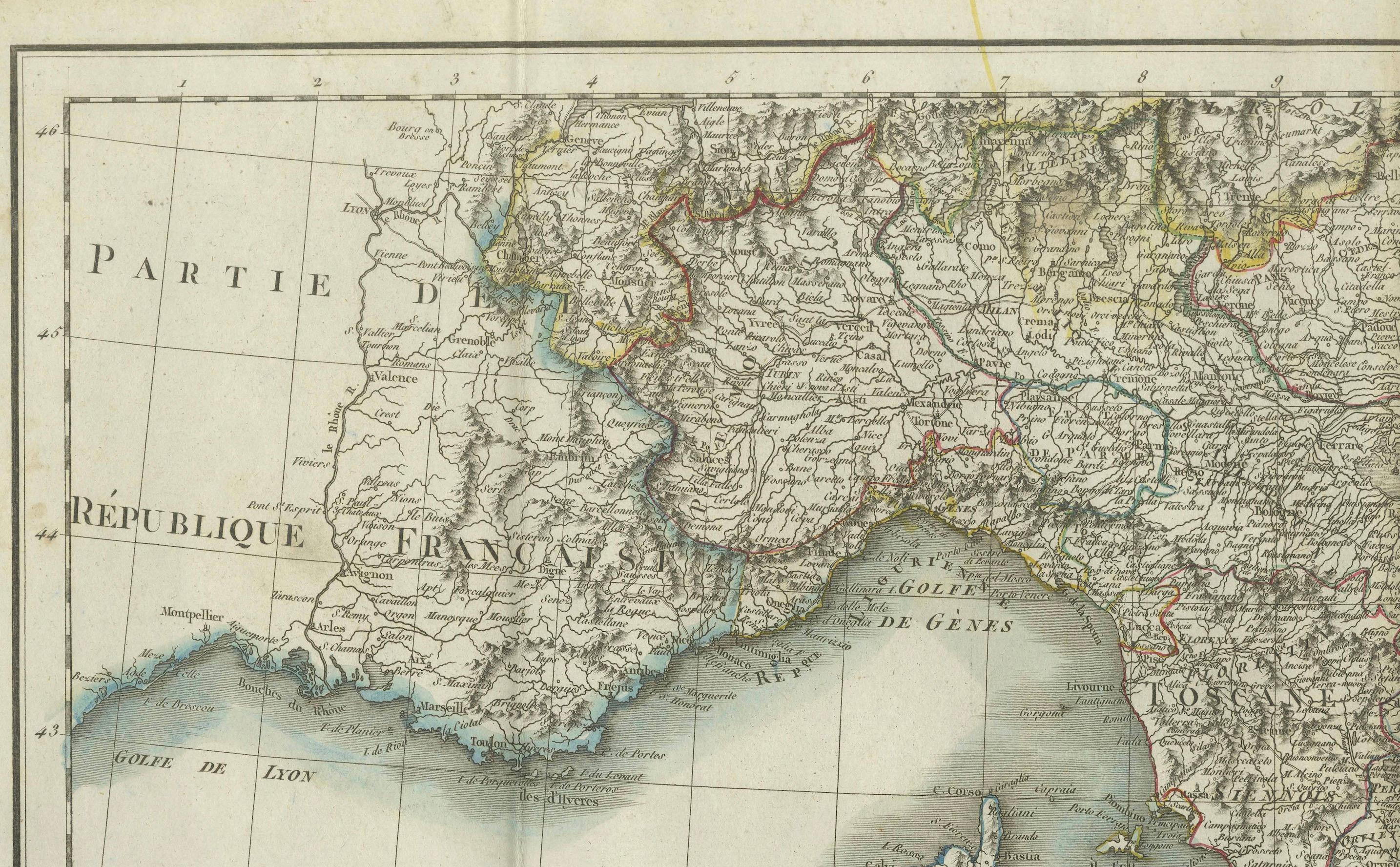
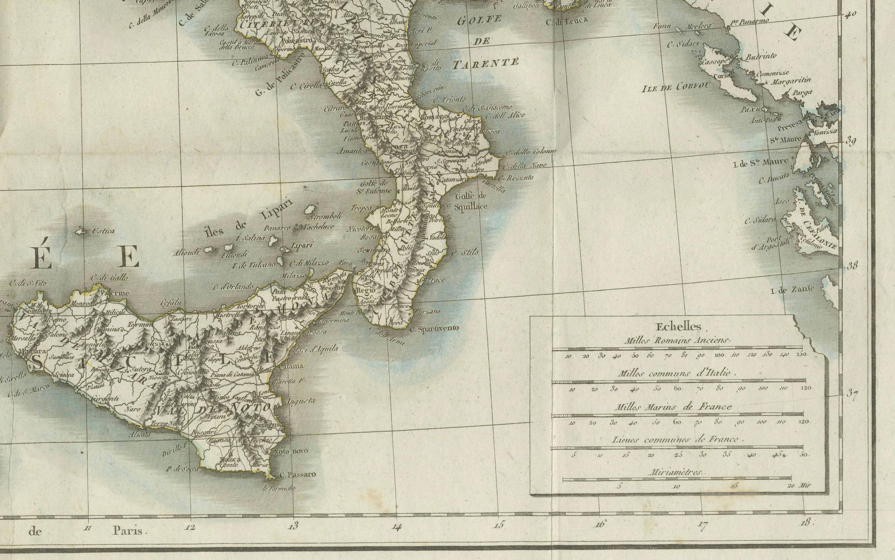
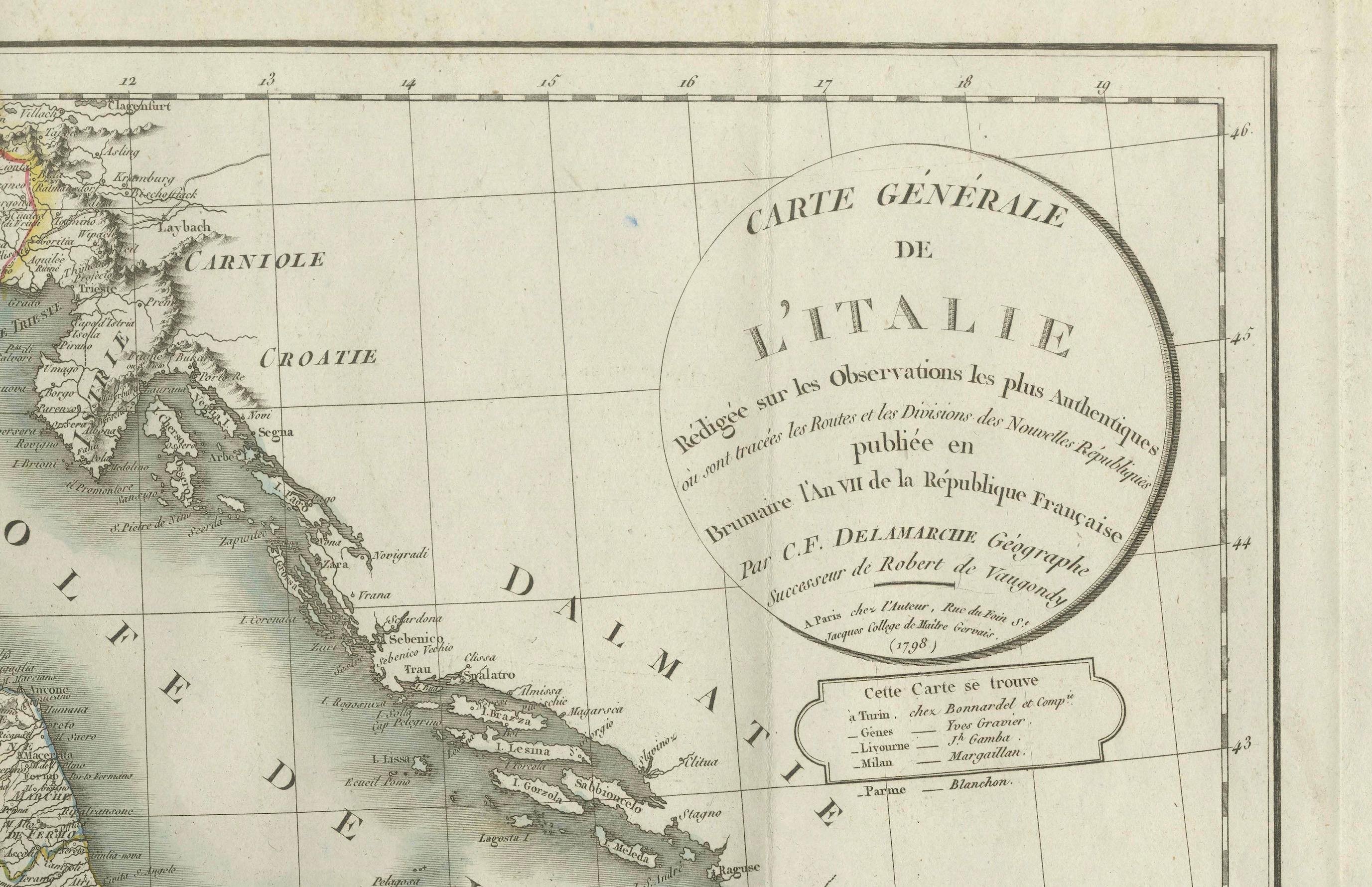
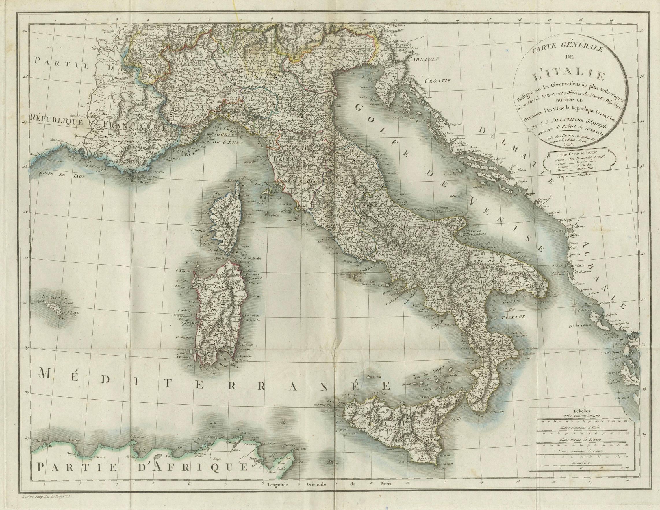
This elegant and detailed antique map titled Carte Générale de l’Italie was drawn and engraved by the French geographer Charles-François Delamarche around 1800. Based on astronomical observations and the latest geographic measurements of the time, the map reflects the advanced cartographic knowledge of the early 19th century. It was published in Paris during the period of the French Republic, and it offers an accurate and comprehensive view of Italy and its neighboring regions.
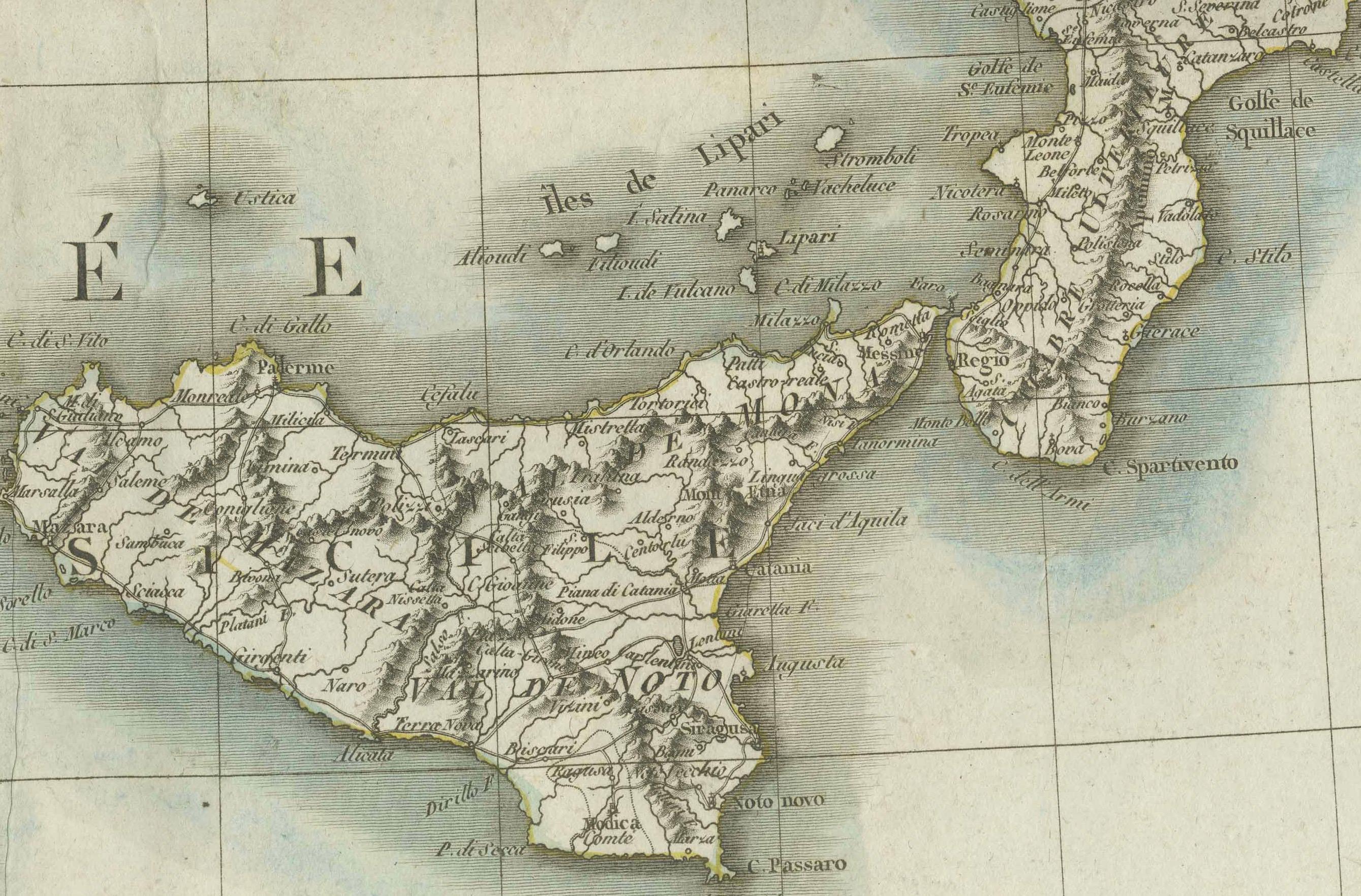
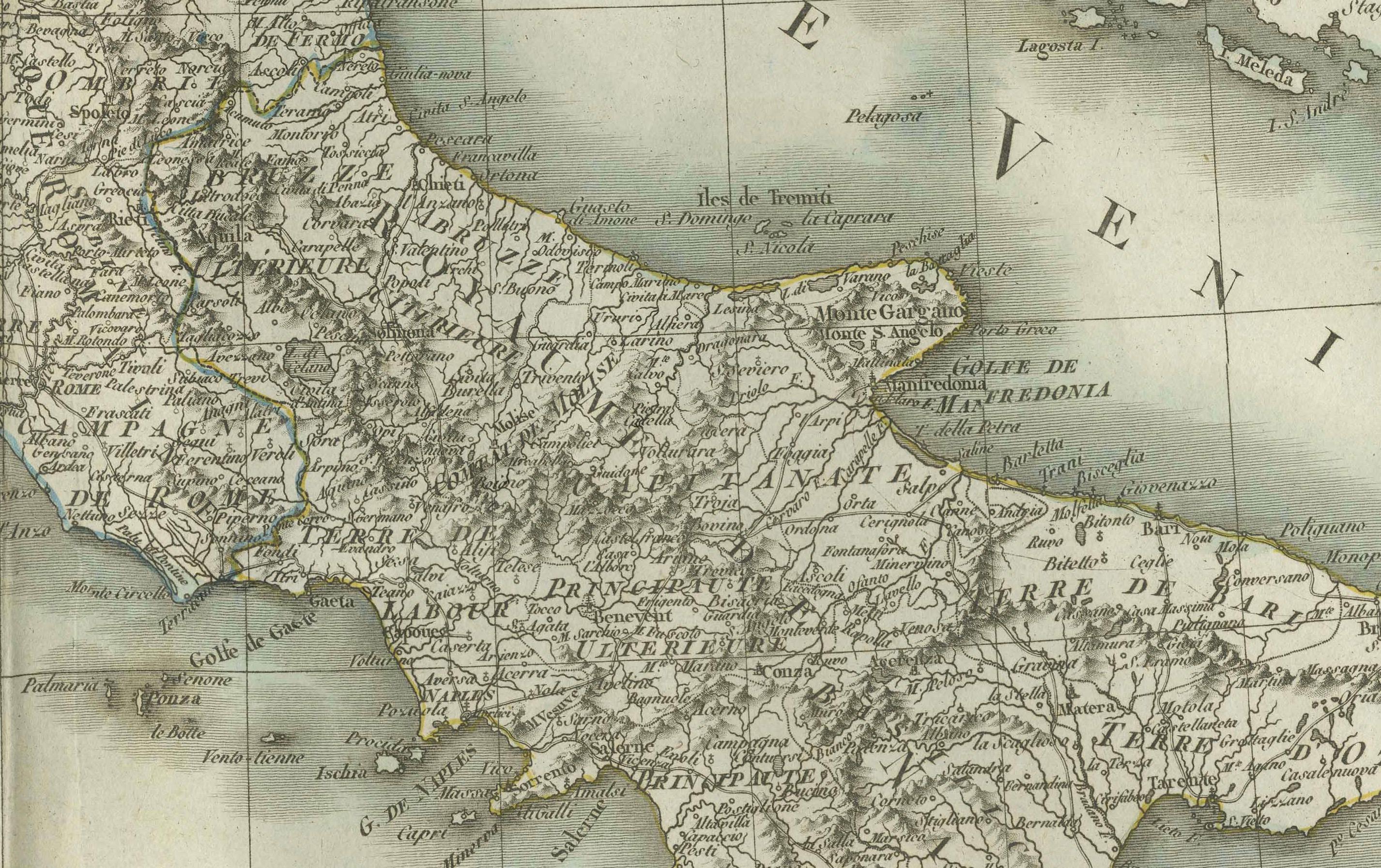
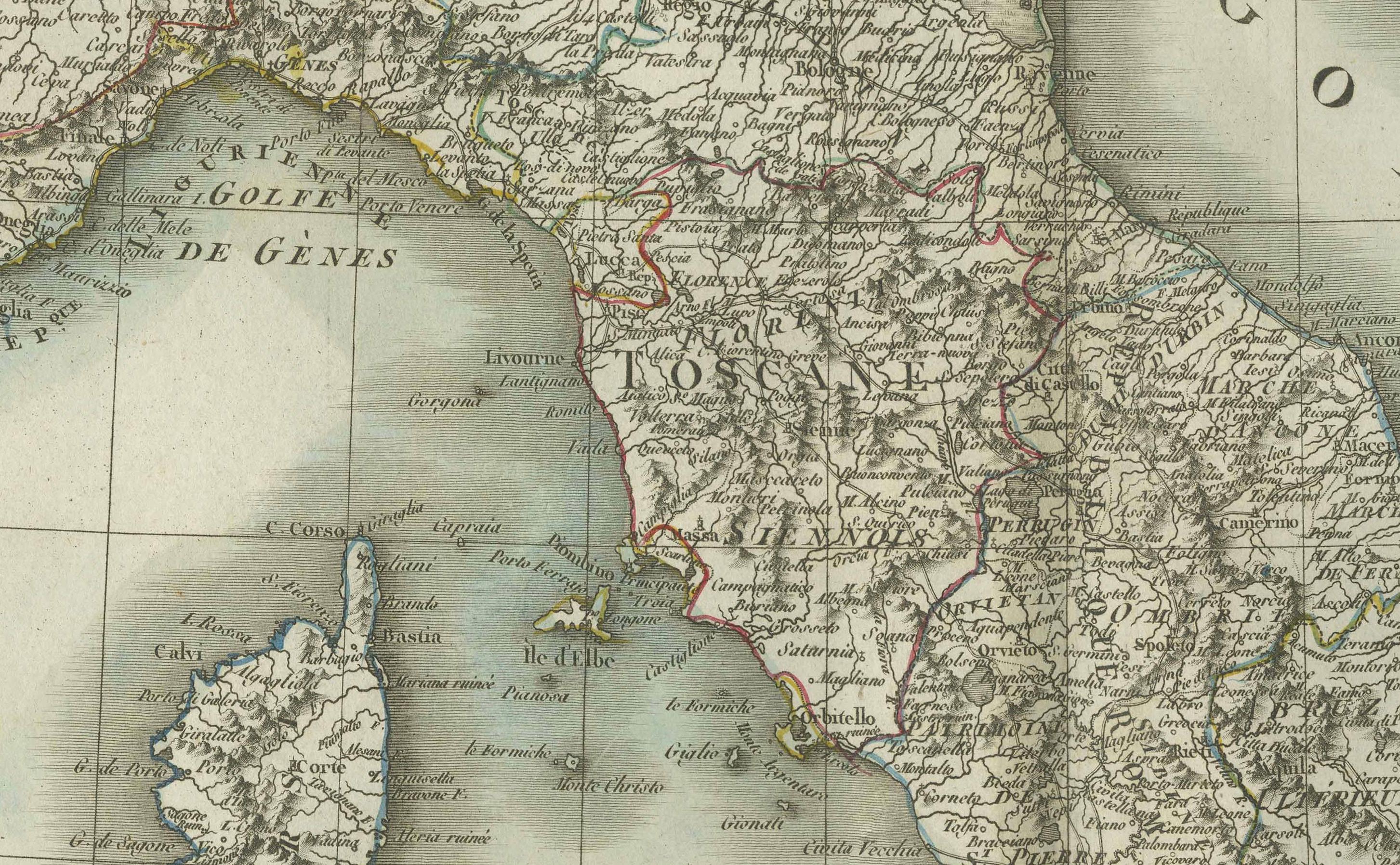
The map shows the entire Italian peninsula, including the islands of Sicily, Sardinia, and Corsica, as well as parts of France, Switzerland, Dalmatia (modern-day Croatia), and North Africa. It highlights major cities such as Rome, Naples, Florence, Venice, Milan, Palermo, and Turin, and includes regional boundaries, mountain ranges, and river systems. The Adriatic and Tyrrhenian Seas, as well as the Gulf of Venice and the Mediterranean Sea, are clearly labeled. A delicately engraved compass rose and scale bar in the lower right enhance the map’s utility and aesthetic appeal.
The cartouche in the upper right corner attributes the map to Delamarche, who succeeded Robert de Vaugondy as royal geographer and was known for updating and improving existing geographic works with scientific precision. This map reflects the French Enlightenment tradition of empirical accuracy and visual clarity.
Drawn during a period of significant political transformation in Europe, including Napoleon’s campaigns in Italy, the map also serves as a historical document of geopolitical interest, marking boundaries and territories just before the unification of Italy later in the 19th century.
Condition:
The map is in good condition for its age. It shows original folds as issued and some slight toning and small marginal tears typical of antique maps from this period. The engraved lines are sharp and the hand-colored outlines of regional borders remain clean and vibrant. There is some light spotting along the edges, but nothing that affects the printed area.
Framing suggestion:
This map would display beautifully in a classic black or dark wood frame with a neutral mat in ivory or soft grey. UV-protective glass is recommended to preserve the integrity of the paper and coloring. A horizontal frame orientation suits the wide format of the composition, making it ideal for office, library, or study wall decor.