About this sheet
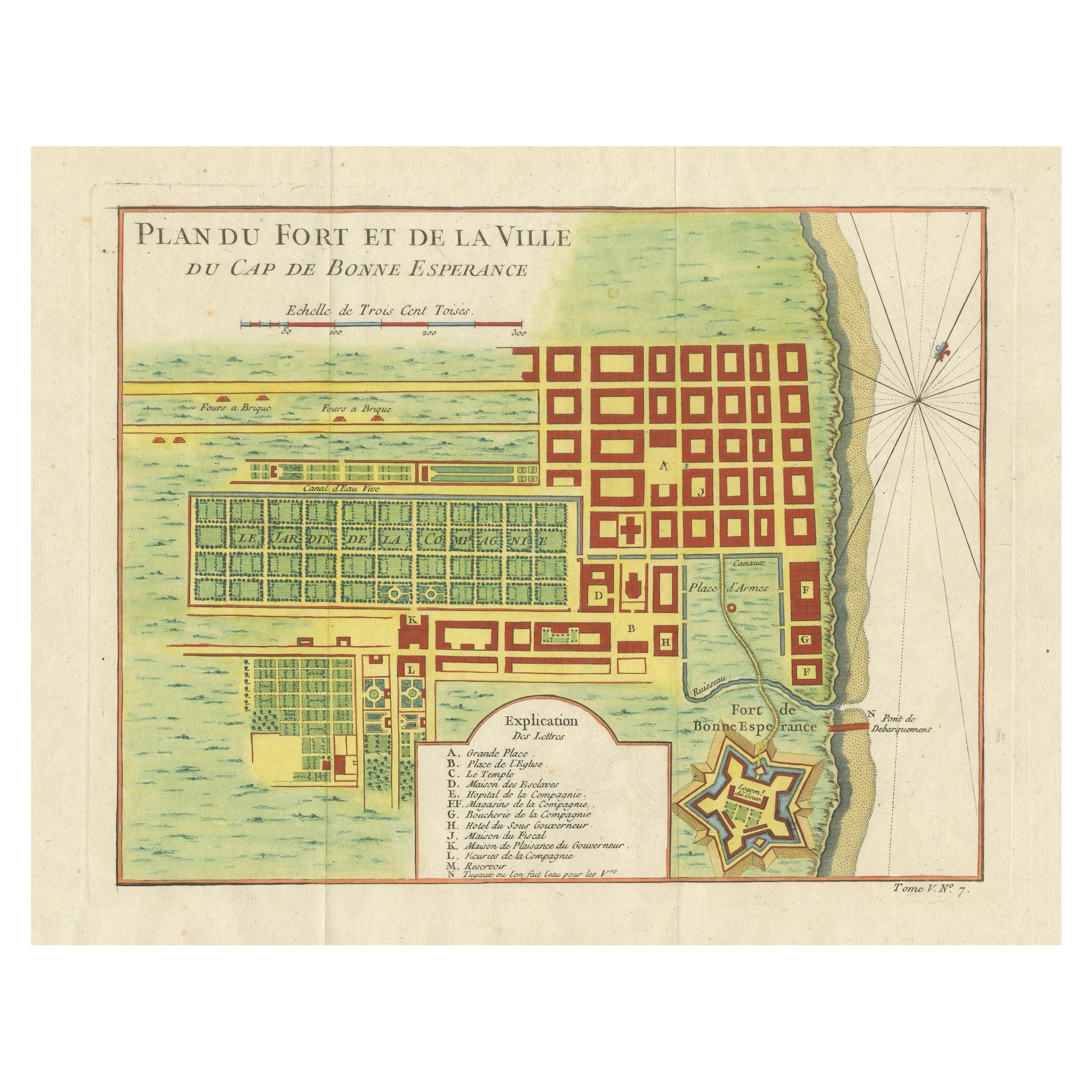
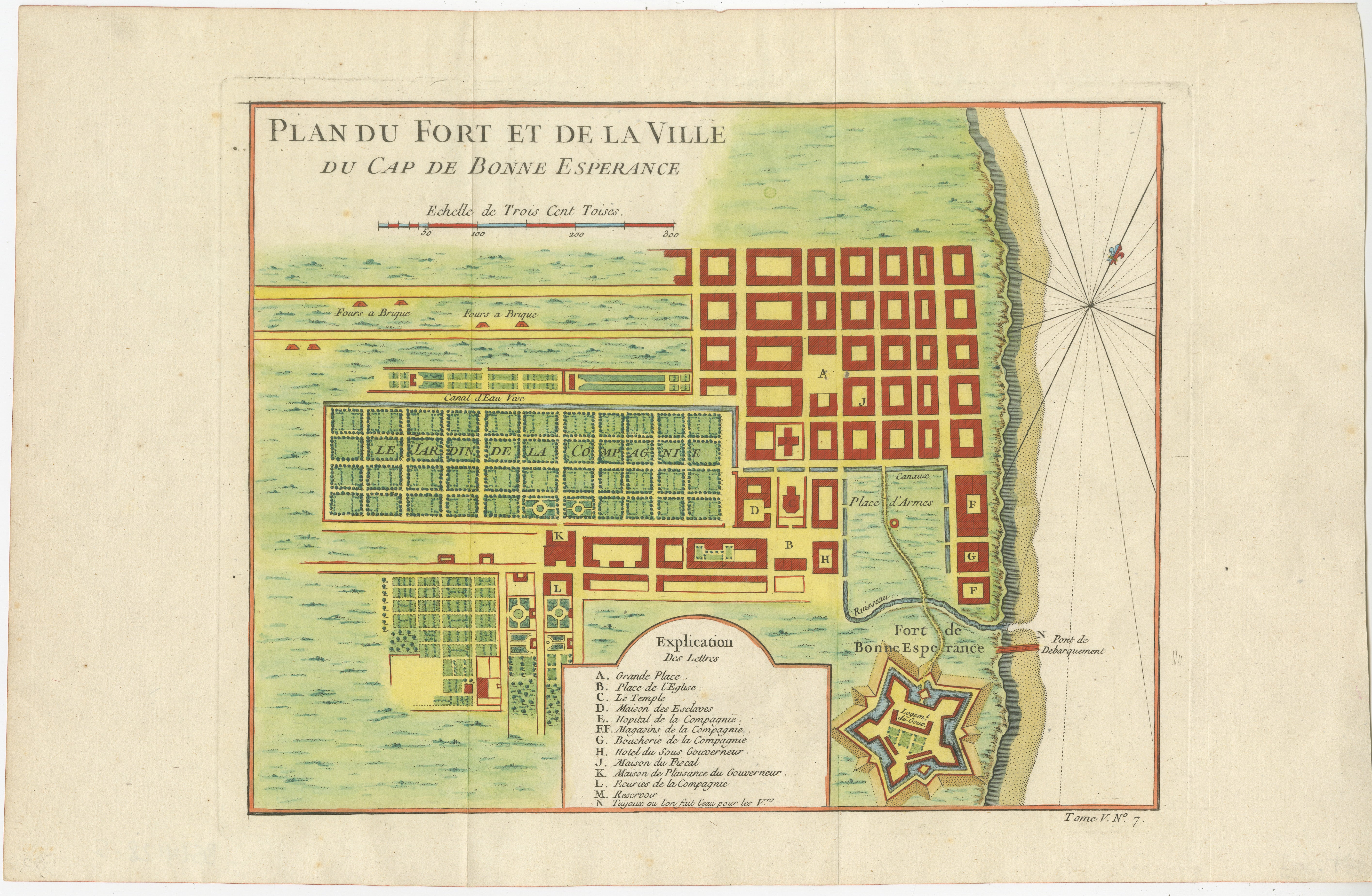
Cape of Good Hope – Fort and City Plan, French Colonial Map, c.1765
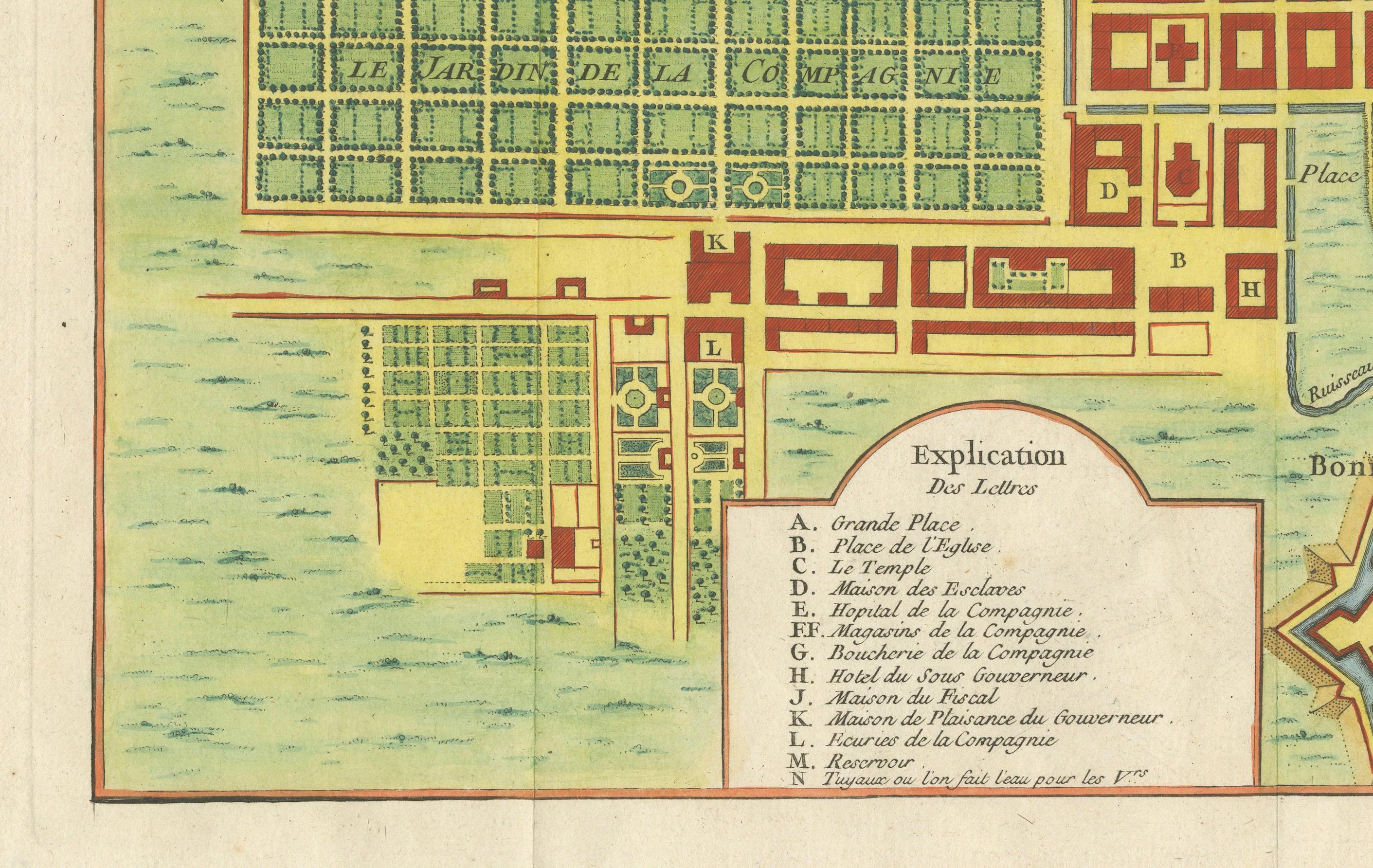
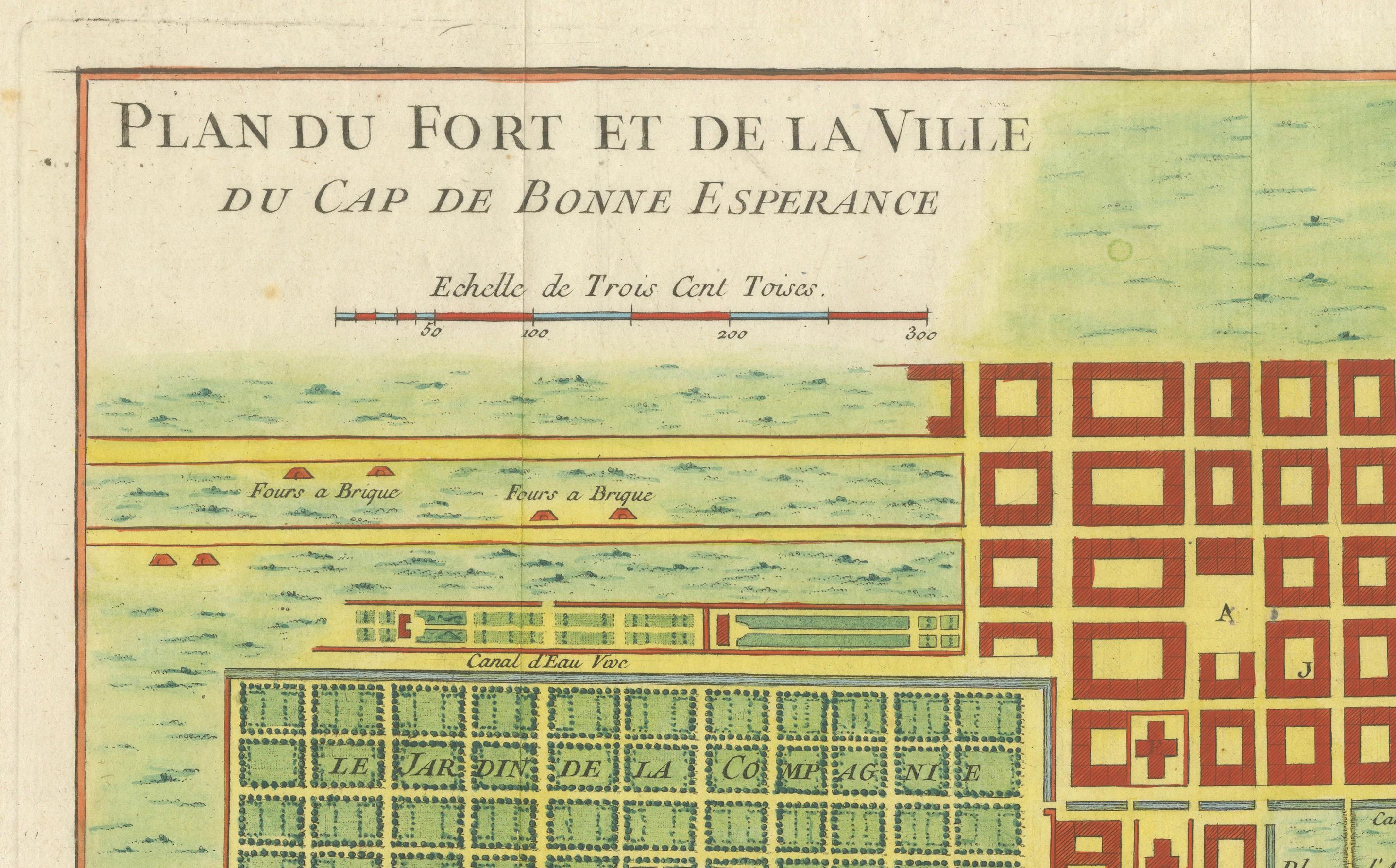
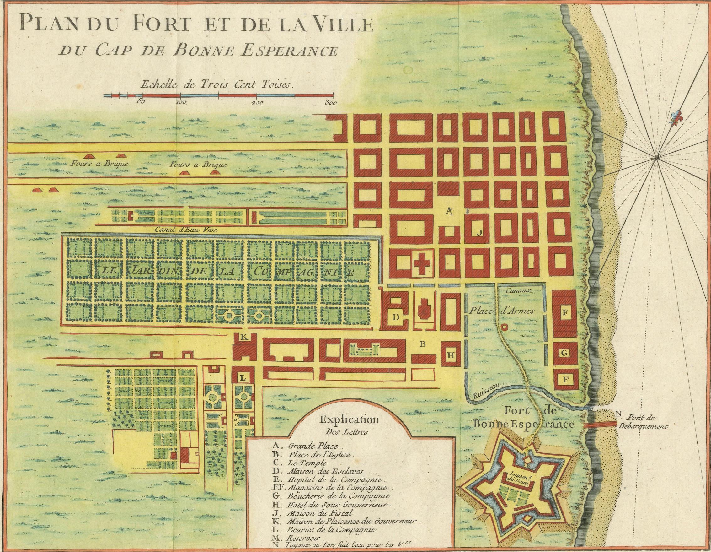
This detailed French plan depicts the fortifications and urban layout of the Cape of Good Hope, one of the most strategically important colonial ports of the 18th century. Titled “Plan du Fort et de la Ville du Cap de Bonne Esperance,” the map was engraved under the direction of Jacques-Nicolas Bellin, Hydrographer to the French King, and published in Paris circa 1760–1770 as part of his official hydrographic work for the Dépôt des cartes et plans de la Marine.
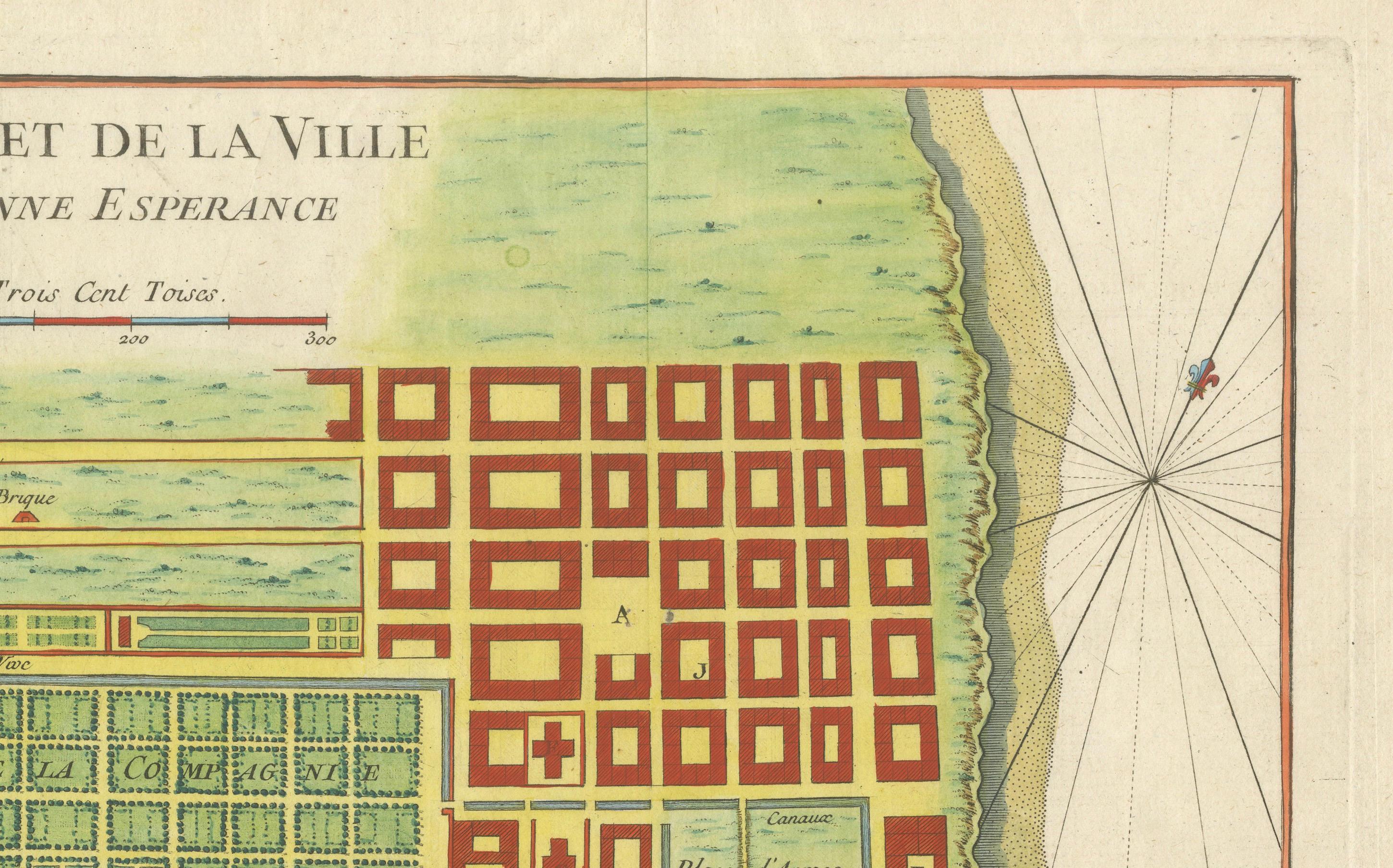
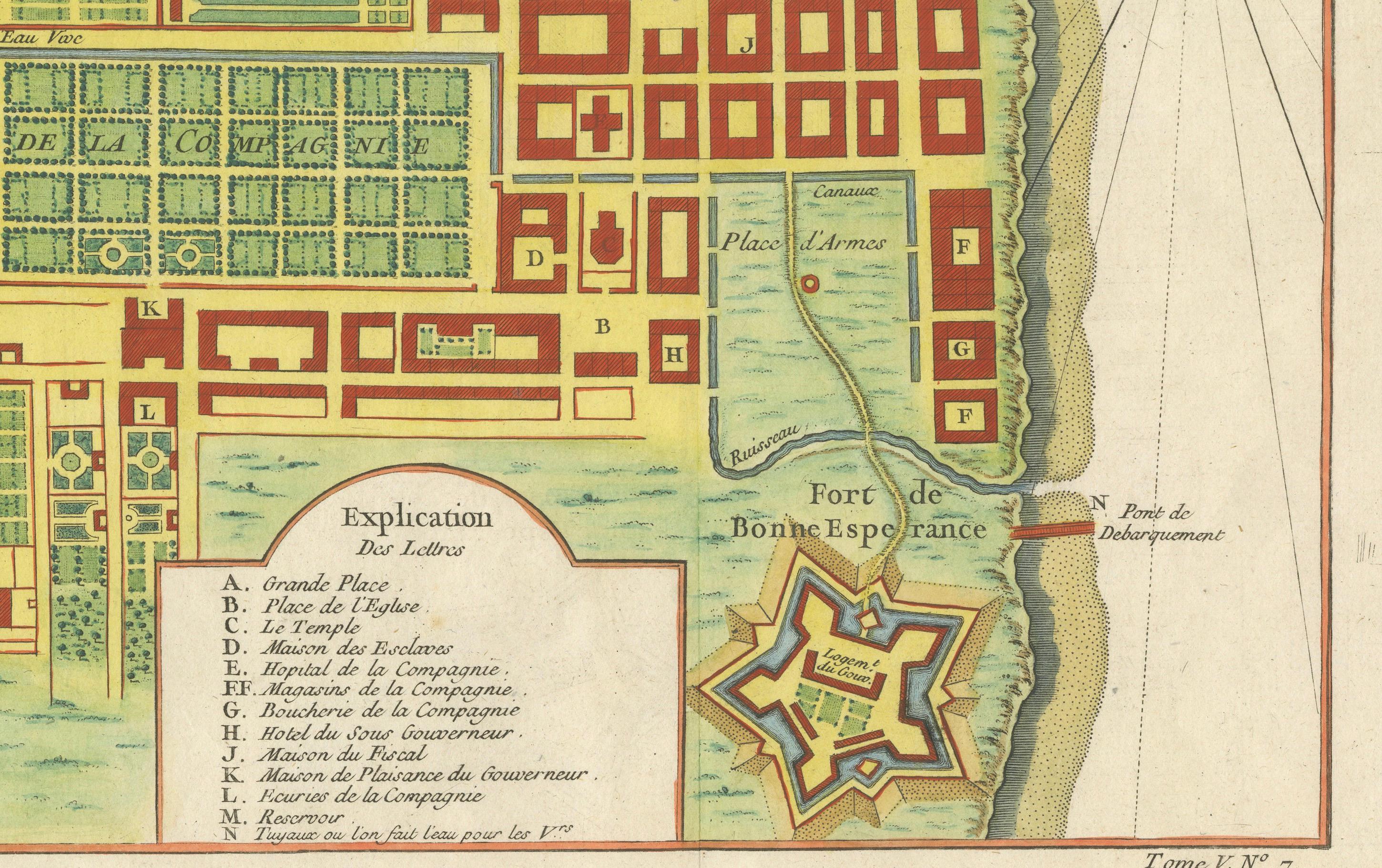
The plan shows the Cape as a carefully organized colonial settlement, with its rectilinear street grid, public squares, gardens, canals, and key administrative buildings clearly delineated. The famous star-shaped Fort de Bonne Esperance is rendered in precise detail, reflecting contemporary military engineering principles and the defensive importance of the site for European powers navigating between the Atlantic and Indian Oceans.
Bellin’s plan combines urban cartography with maritime intelligence. The shoreline, anchorage, landing points, and compass rose emphasize the Cape’s role as a critical resupply and control point on global trade routes linking Europe, Africa, and Asia. The inclusion of an explanatory legend identifying principal buildings and functions underscores the map’s practical and administrative purpose.
Although the Cape was under Dutch control at the time, French naval and commercial interests made accurate knowledge of the settlement essential. Bellin’s work reflects the broader European competition for influence along African coasts and sea routes during the mid-18th century. The restrained hand coloring, clear engraving, and balanced composition make this both a historically important document and a visually compelling display piece.
This plan is especially appealing to collectors of colonial urban history, fortification plans, and South African cartography, and it serves as an ideal counterpart to broader regional maps of East and Southern Africa.
Condition report
Good condition overall. Central vertical fold as issued. Light age toning consistent with period. Minor scattered spots and light surface marks. Original hand coloring. Plate mark visible. Margins intact.
Framing tips
A generous off-white or light sand-colored mat highlights the crisp geometry of the city grid and fort. A medium to dark wood frame complements the hand coloring and gives the piece a refined, architectural presence. Particularly effective as a focal work or paired with regional African maps.