About this sheet
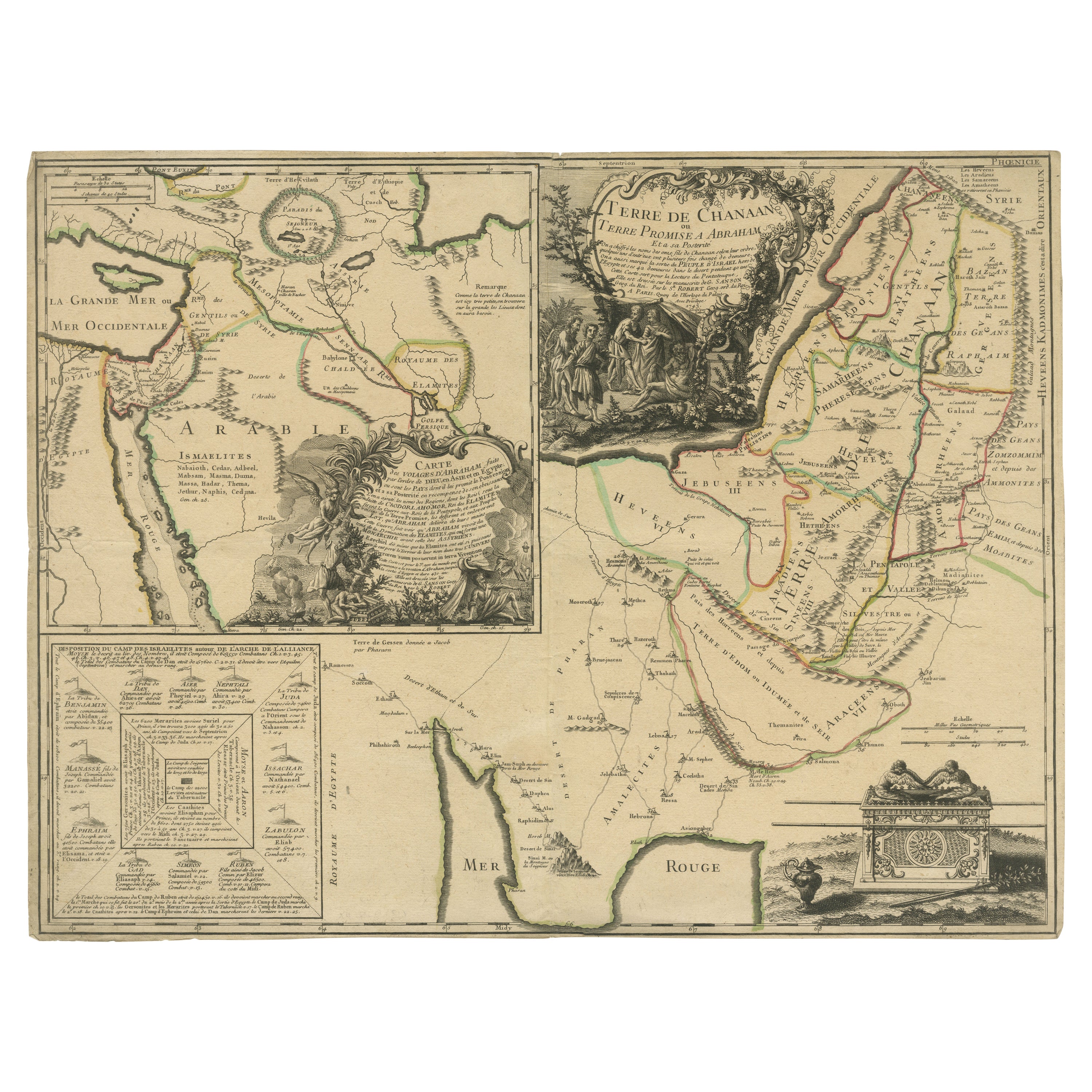
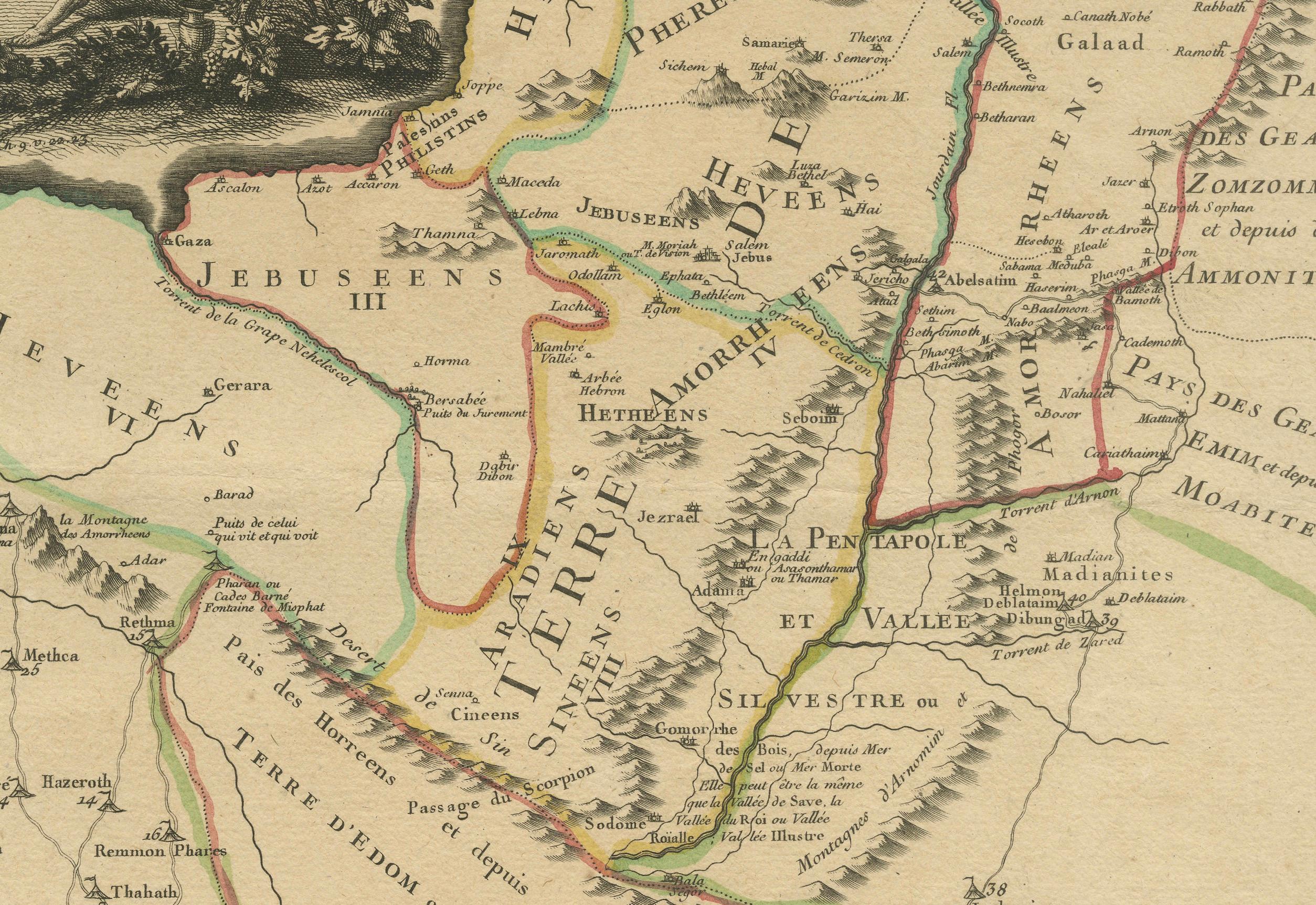
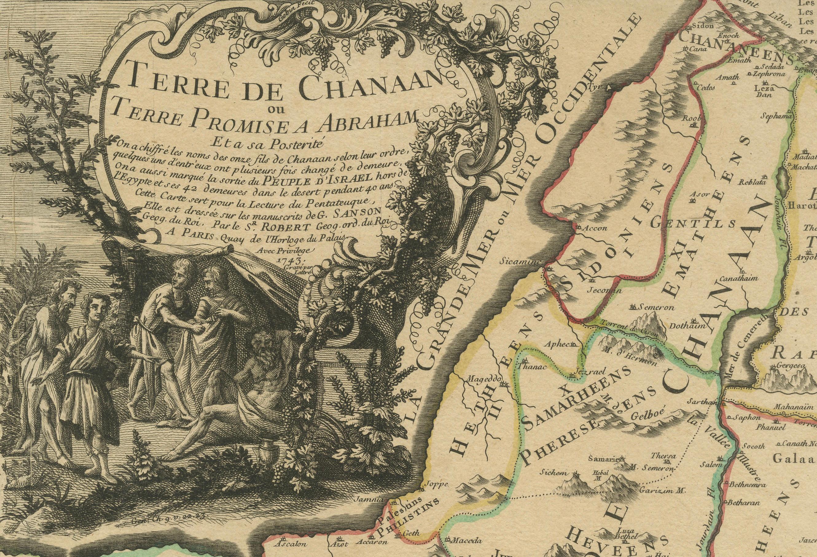
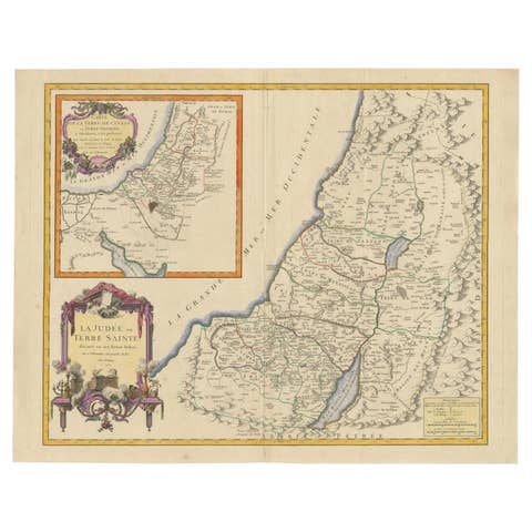
This antique map, titled "Terre de Chanaan ou Terre Promise a Abraham," is a finely detailed copper-engraved map created around 1750 by Delamarche in Paris, based on earlier works by Sanson and R. de Vaugondy. It prominently features the biblical land of Canaan, promised to Abraham, and is enhanced with hand-applied color highlighting regional boundaries.
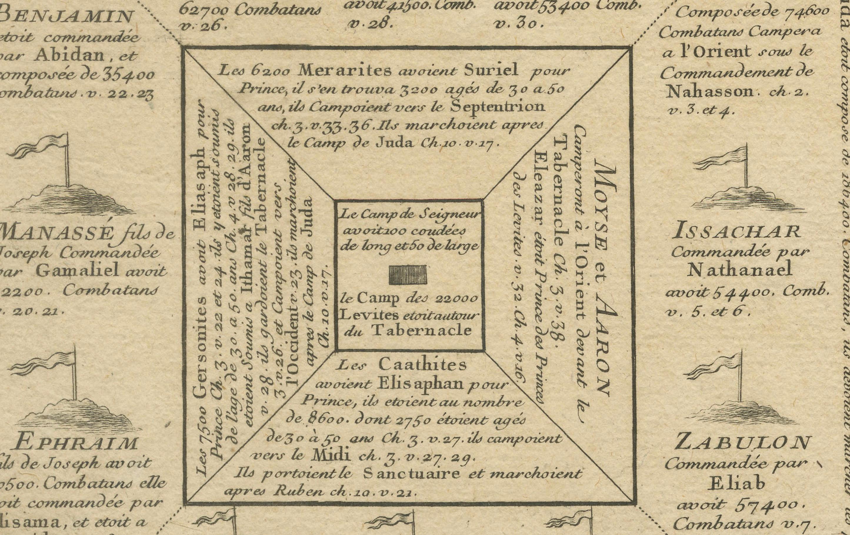
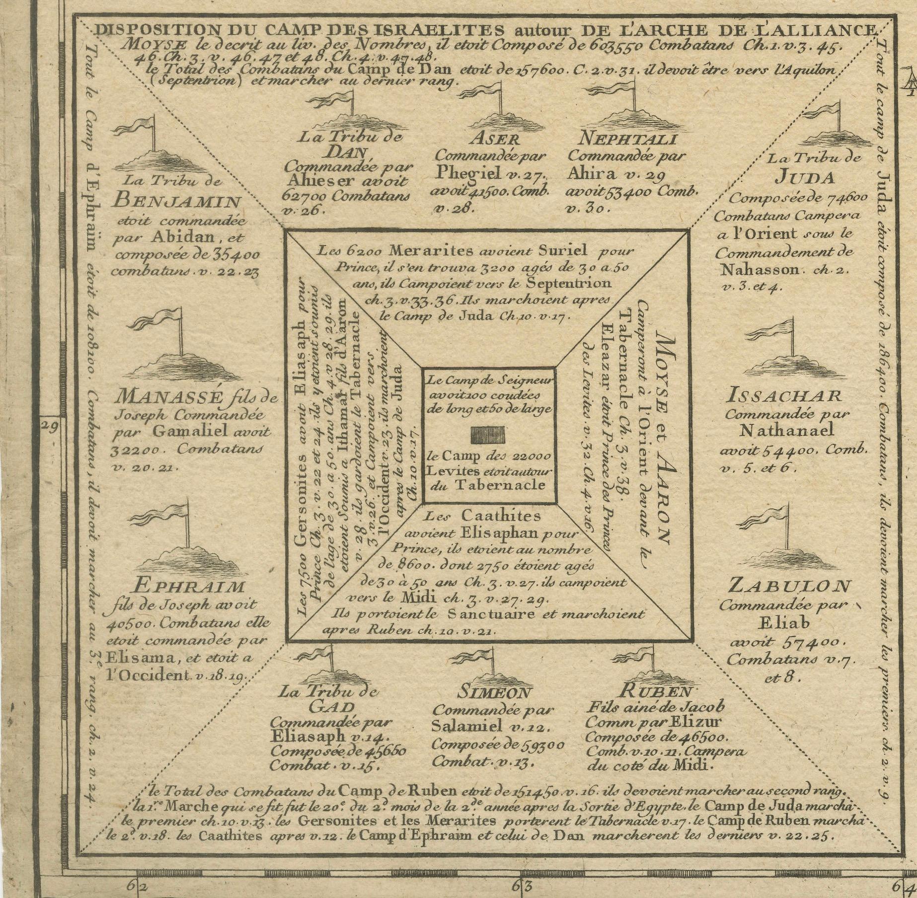
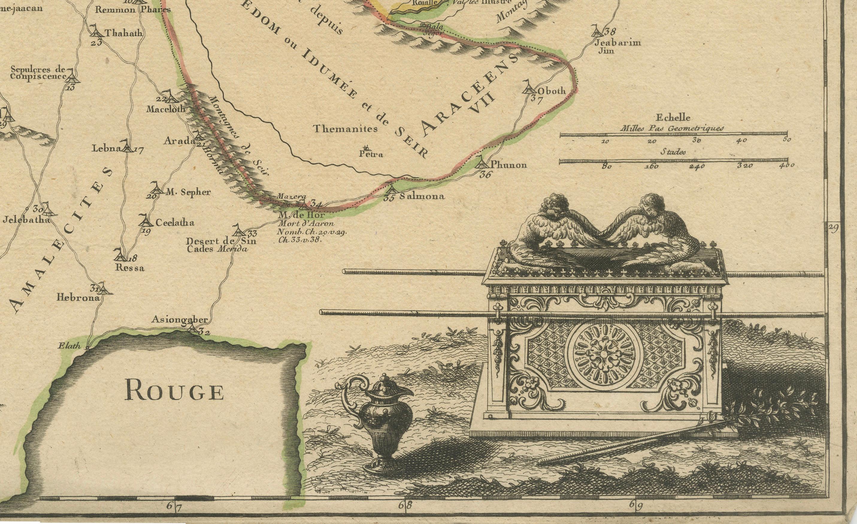
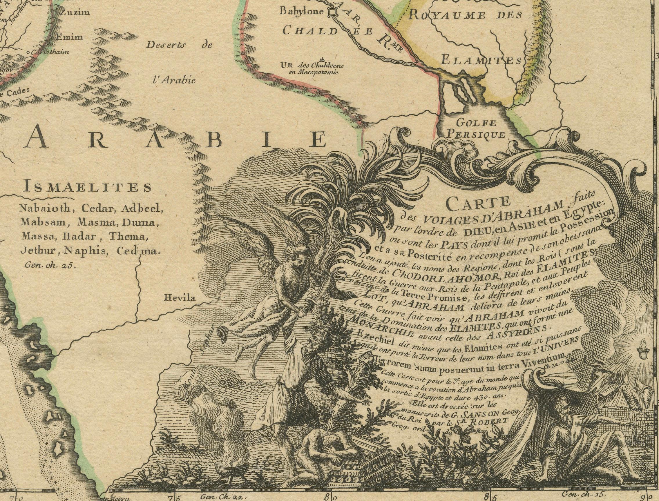
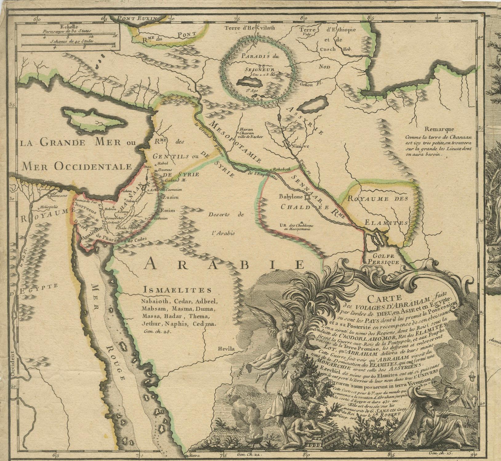
The map integrates two significant insets: "Carte des Voiages d'Abraham" measuring 10.04 x 10.83 inches (25.5 x 27.5 cm), which traces the journeys of Abraham across the region, and "Disposition du Camp des Israelites," approximately 5.91 x 5.71 inches (15 x 14.5 cm), depicting the layout of the Israelites' camp. There is an illustration of the Ark of the Covenant in the lower-right corner. Measuring 16.73 x 21.85 inches (42.5 x 55.5 cm) in total, this historical piece exhibits some signs of aging with minor wear and occasional spotting, reflecting its rich history and antiquity. The central fold mark is typical of maps of this era, indicating it was likely housed in a bound atlas. This map is a captivating artifact, offering a glimpse into the geographical understanding and biblical interpretations of the mid-18th century.
The map is associated with the works of Robert de Vaugondy and Nicolas Sanson, two significant figures in the history of cartography, and was published by Charles François Delamarche, a notable French geographer and mapmaker from Paris.
Nicolas Sanson (1600-1667), often referred to as the "father of French cartography," was a pioneering figure in 17th-century French mapmaking. His work was highly influential and helped to establish a more scientific approach to mapmaking in France. Sanson's maps were known for their detailed accuracy and clear presentation, which helped to make them standard references in their time.
Robert de Vaugondy family, Gilles (1688-1766) and Didier (1723-1786), were prominent French cartographers in the 18th century who inherited the vast collection of map plates from the Sanson family. They revised and updated these maps to reflect new geographical knowledge and also produced their own original works. The Vaugondys were appointed as the official geographers to the French king, which underscores the significance and authority of their work in their era.
Charles François Delamarche (1740-1817) took over the Vaugondy publishing house in the late 18th century. He continued the tradition of producing high-quality maps and globes and was also known for innovating with educational products, including thematic and celestial maps. Delamarche's work represents a bridge between the meticulous detail of the Enlightenment and the growing public and educational interest in geographical knowledge during the French Revolution and Napoleonic eras.
Together, these figures represent a lineage of cartographic excellence, contributing to the evolution of mapmaking from a craft to a science, significantly influencing both the art and accuracy of maps used during their times. The map in question reflects this rich tradition and expertise, combining detailed cartographic information with historical and biblical references.
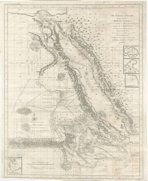
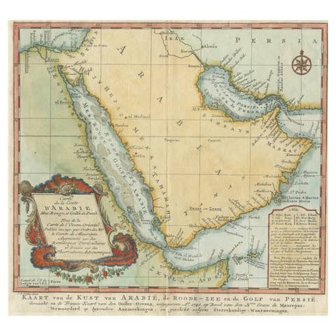
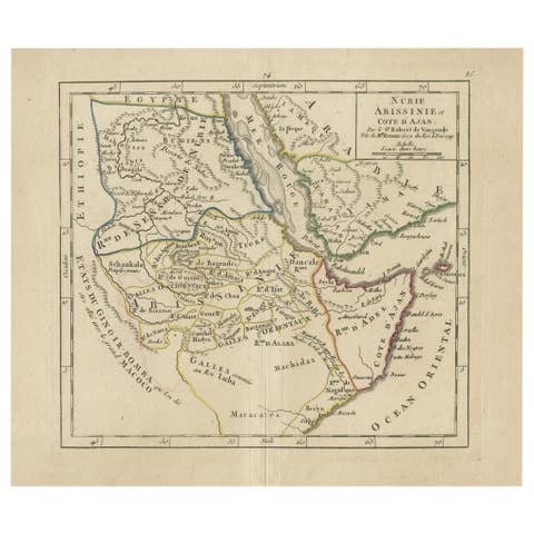
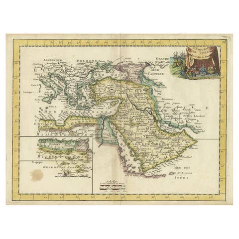
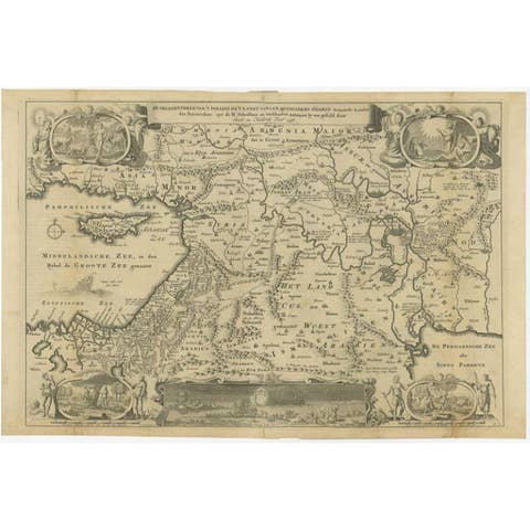
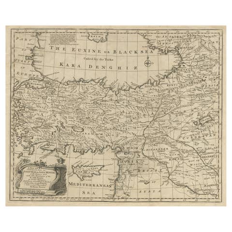
Antique maps of the region depicted in the map, which includes the Arabian Peninsula and the biblical lands often referred to as Canaan, appeal to collectors and enthusiasts for various historical and cultural reasons. Some of the main places and names that are popular in this context include:
1. Jerusalem - Often a central feature in maps of this area due to its profound historical and religious significance.
2. Mecca and Medina - These cities are of immense importance in Islamic tradition and history, making maps featuring them highly sought after.
3. The Red Sea - Often prominently featured in maps of the Arabian Peninsula, significant for its historical trade routes.
4. Sinai Peninsula - A key geographical and historical region connecting Africa and Asia, often noted in maps for its biblical significance, including Mount Sinai.
5. The Nile River - Maps featuring the Nile are popular due to the river's historical importance to civilizations in Egypt and its biblical associations.
6. Babylon - Located in modern-day Iraq, Babylon is of great historical and cultural interest, especially for its biblical connections.
7. Damascus - As one of the oldest continuously inhabited cities in the world, Damascus holds a special place in historical maps.
8. Petra - The ancient city of Petra, located in modern-day Jordan, is often featured due to its archaeological significance and its dramatic architecture.
The decorative elements, such as cartouches and illustrations depicting biblical scenes or historical figures, add to the desirability of these maps.