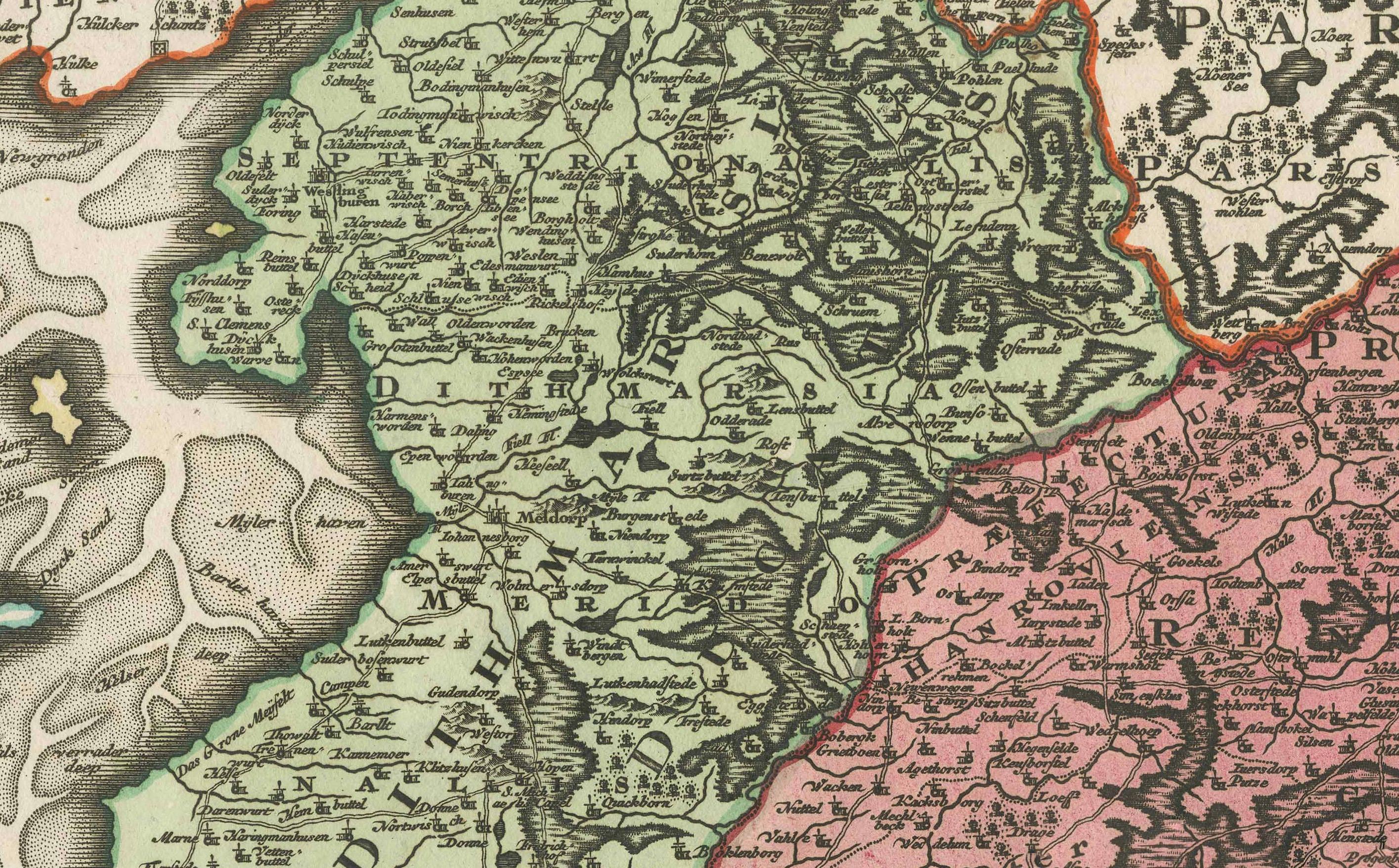
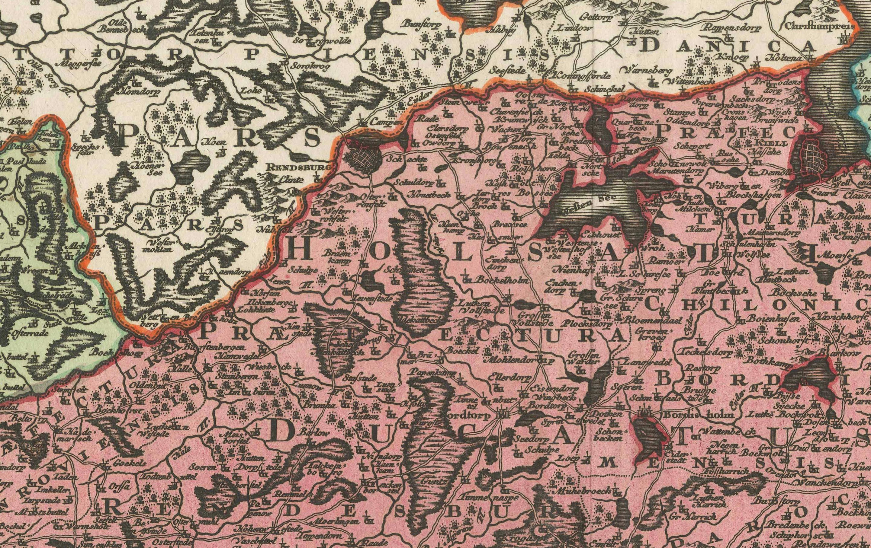
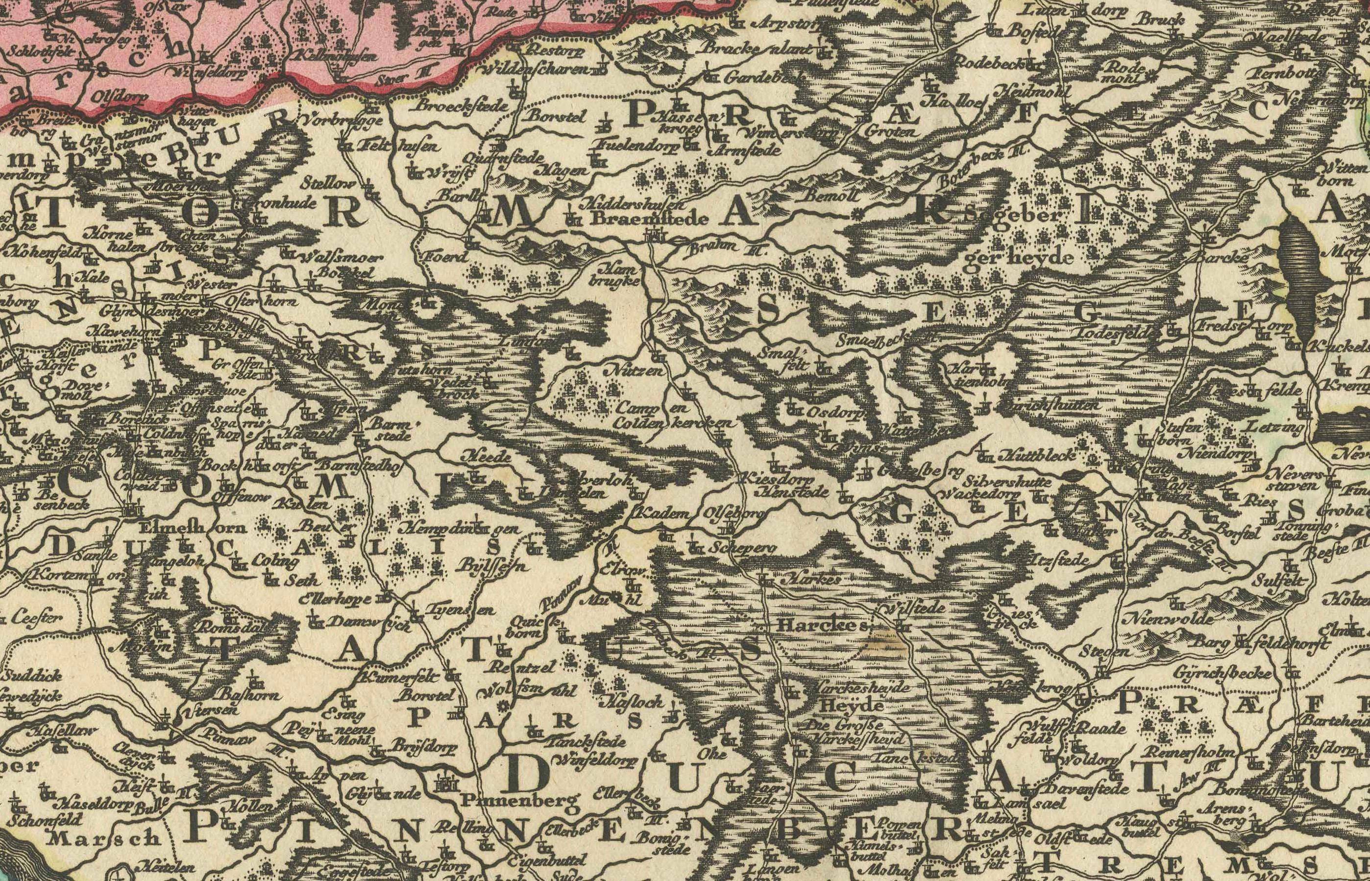
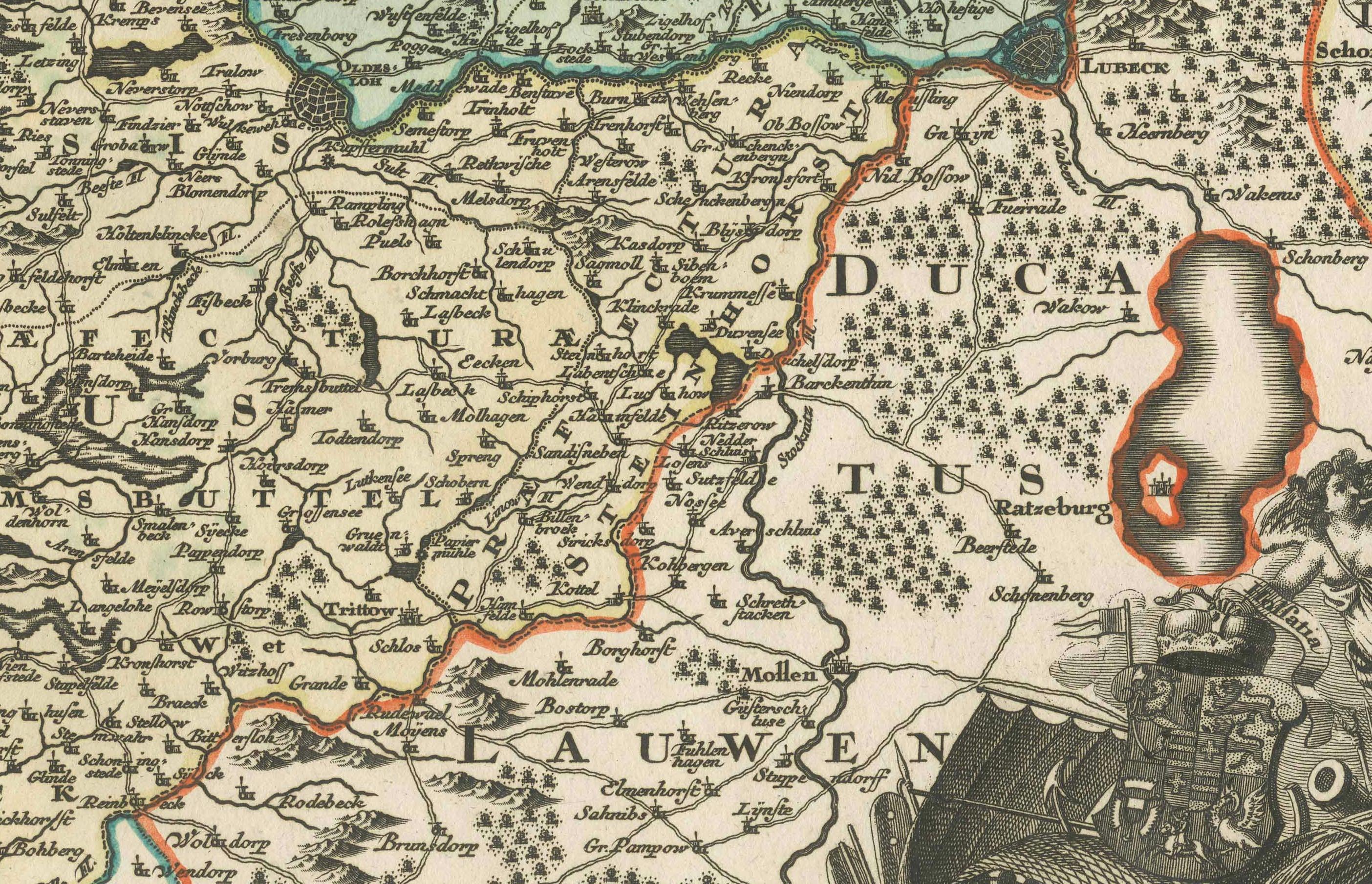
18th-Century Map of Holstein and Surrounding Duchies by Homann Heirs
€ 570
One of a kind: this is the sheet in the photographs. Ships from Langweer, the Netherlands.
Sheet size
50.5 × 60.6 cm (19.9 × 23.9 in)
Reference
BG-13672-3
Condition
The map is in good condition, with a strong impression and vivid hand-coloring. A visible centerfold, as expected from atlas maps, shows minor toning. Some light creases and marginal imperfections.
About this sheet
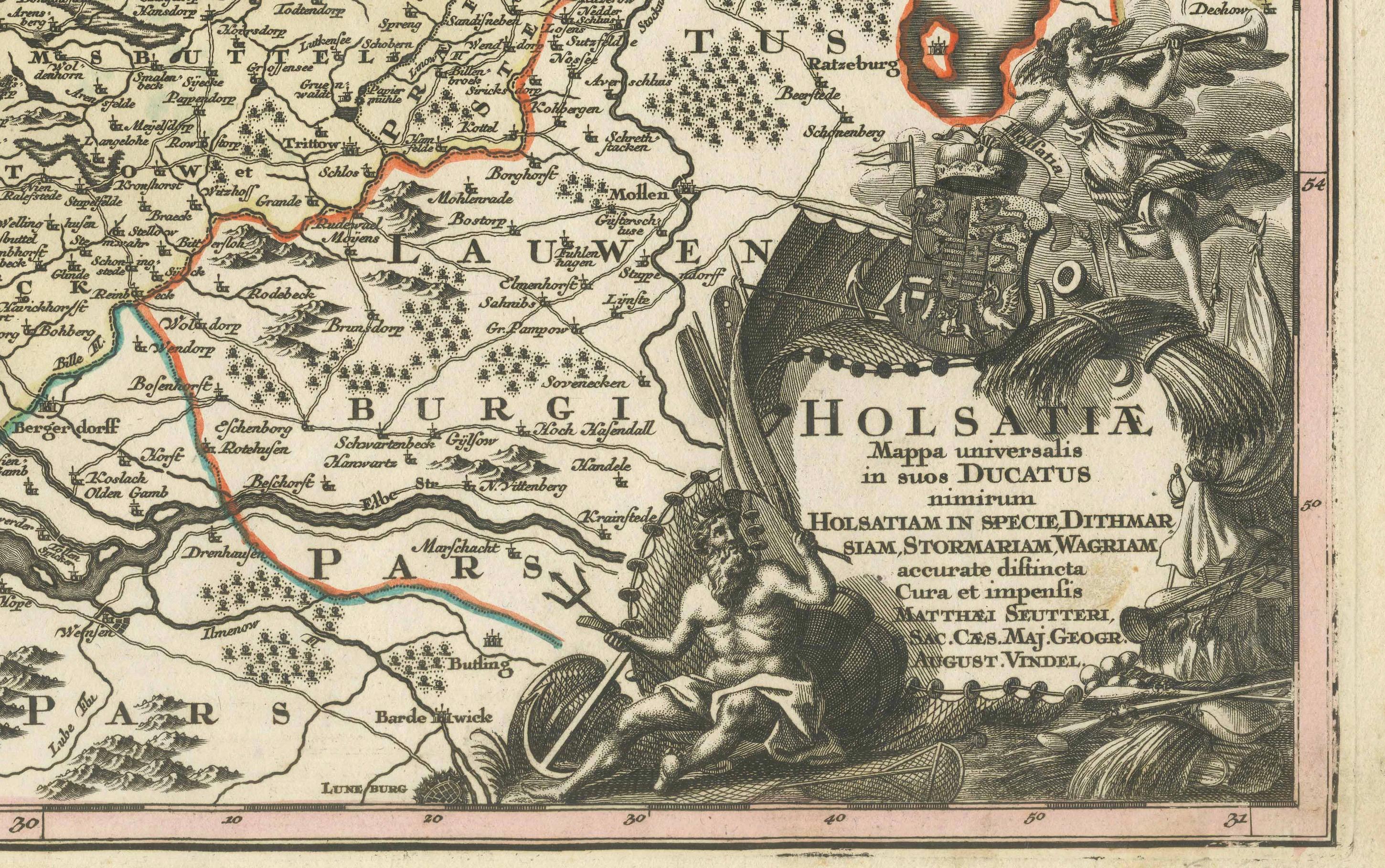
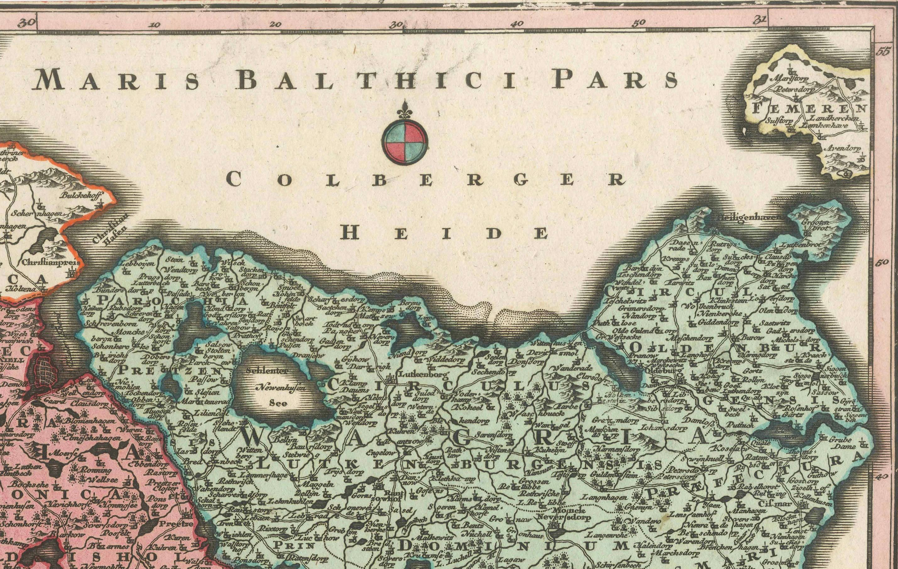
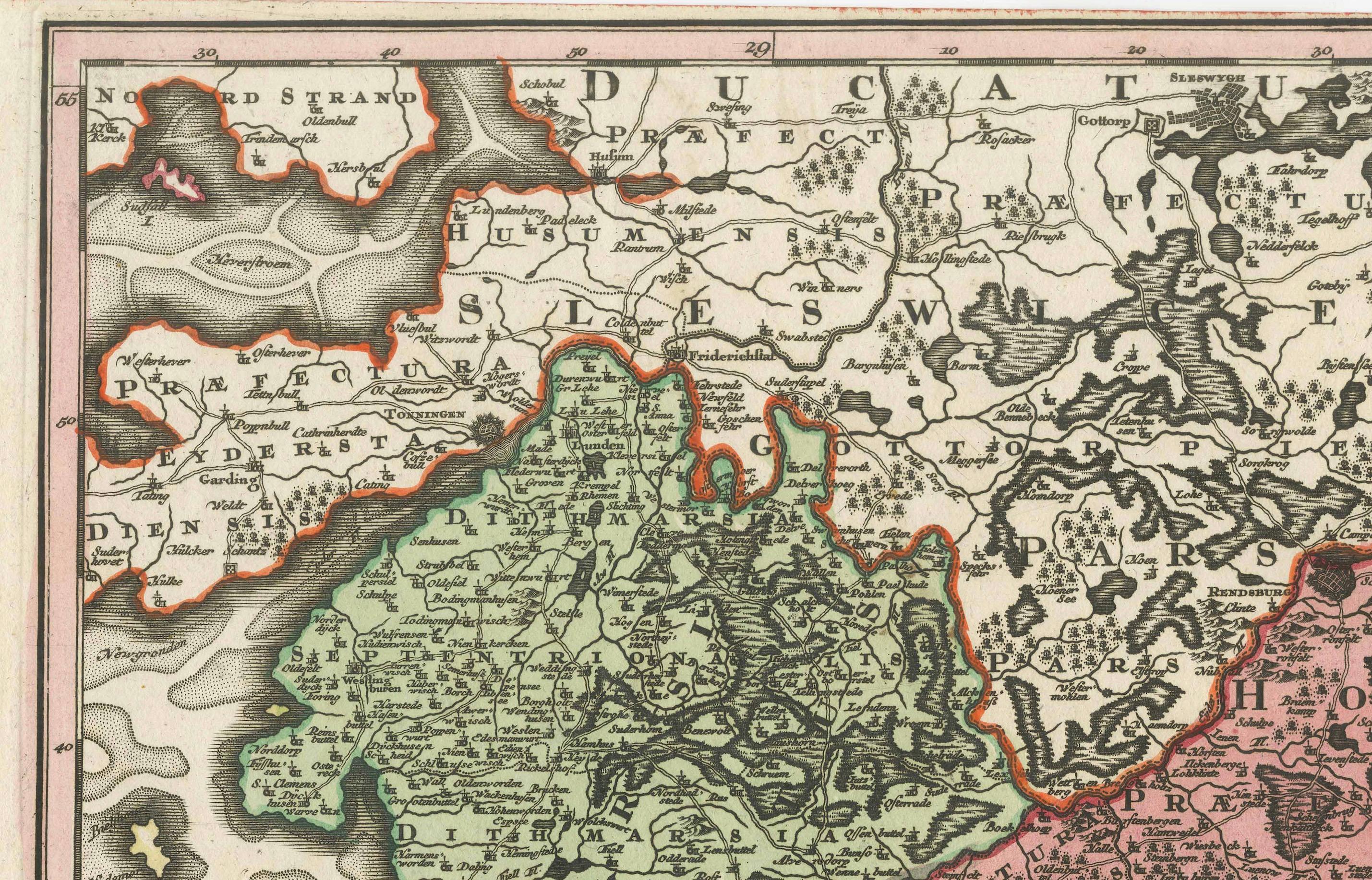
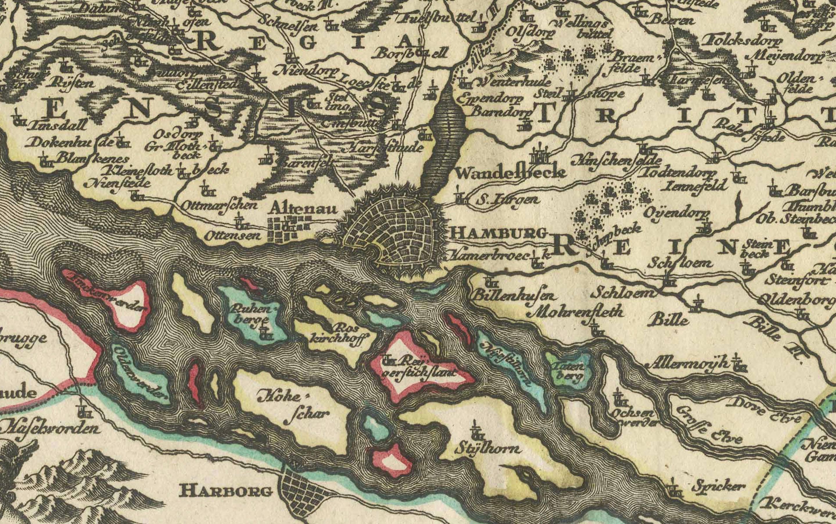
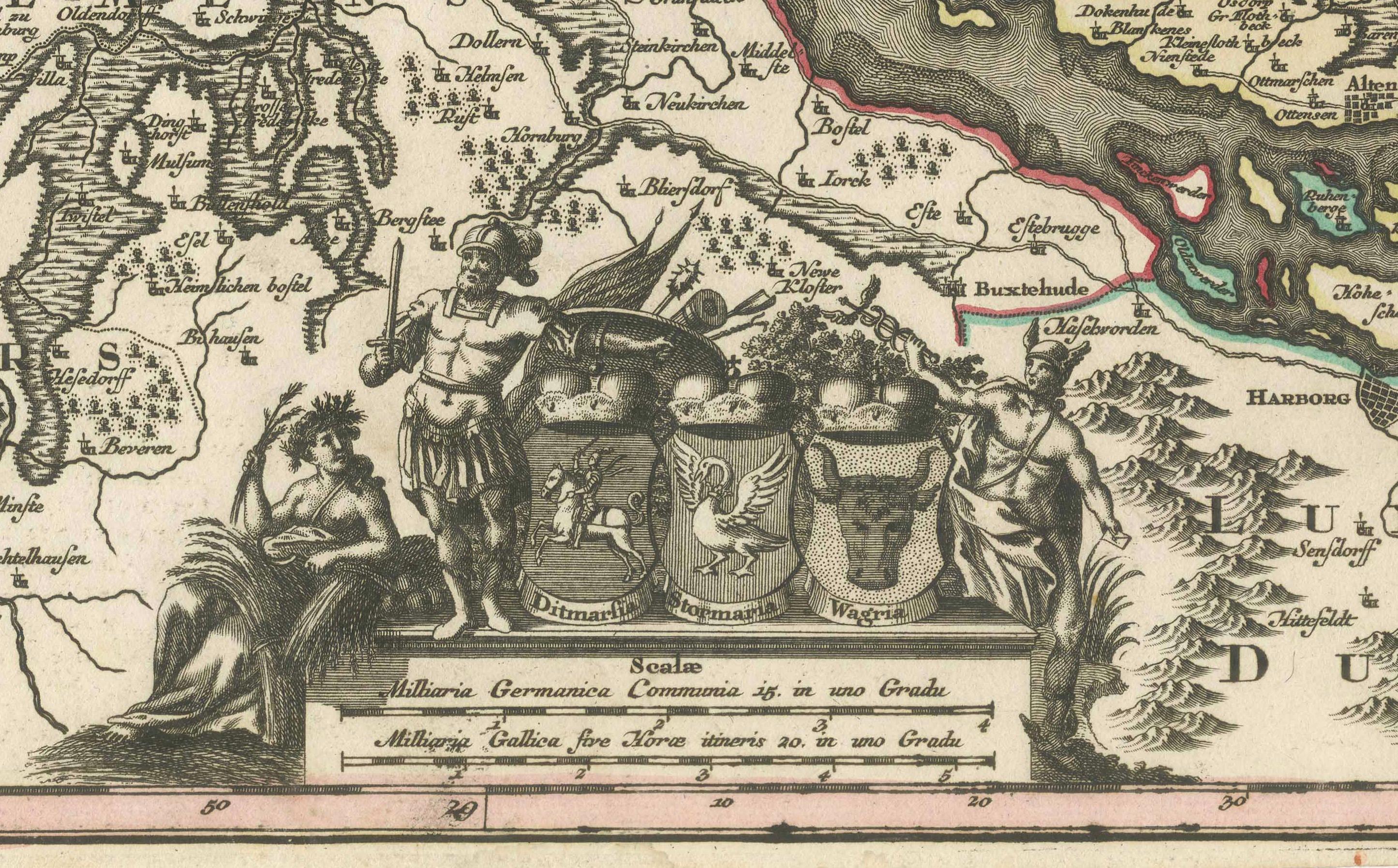
18th-Century Map of Holstein and Surrounding Duchies by Homann Heirs This finely detailed 18th-century map by the Homann Heirs (Homannische Erben) illustrates the Duchy of Holstein along with the surrounding regions of Schleswig, Lauenburg, and Mecklenburg in northern Germany.
The map captures the intricate political divisions of the time, with hand-colored borders distinguishing different territories under Danish and German control. Holstein, a significant historical region contested between Denmark and the Holy Roman Empire, played a crucial role in North European geopolitics, particularly in the lead-up to the Schleswig Wars.
The map features coastal details along the Baltic Sea (Maris Baltici Pars), major rivers, and important cities such as Kiel, Lübeck, Hamburg, and Altona. The elaborate cartouche, adorned with allegorical figures and military motifs, emphasizes the region’s historical and strategic importance.
Condition: The map is in good condition, with a strong impression and vivid hand-coloring. A visible centerfold, as expected from atlas maps, shows minor toning. Some light creases and marginal imperfections are present but do not detract from the map’s overall aesthetic and historical value.
framing tips: Use an archival mat with a neutral color to enhance the map’s fine engraving. A dark wood or antique-style frame pairs well with the map’s period character. UV-resistant glass is recommended to protect against light exposure, and museum-grade mounting ensures long-term preservation. Double matting with an inner gold accent can further highlight the elegance of this historical cartographic work.