About this sheet
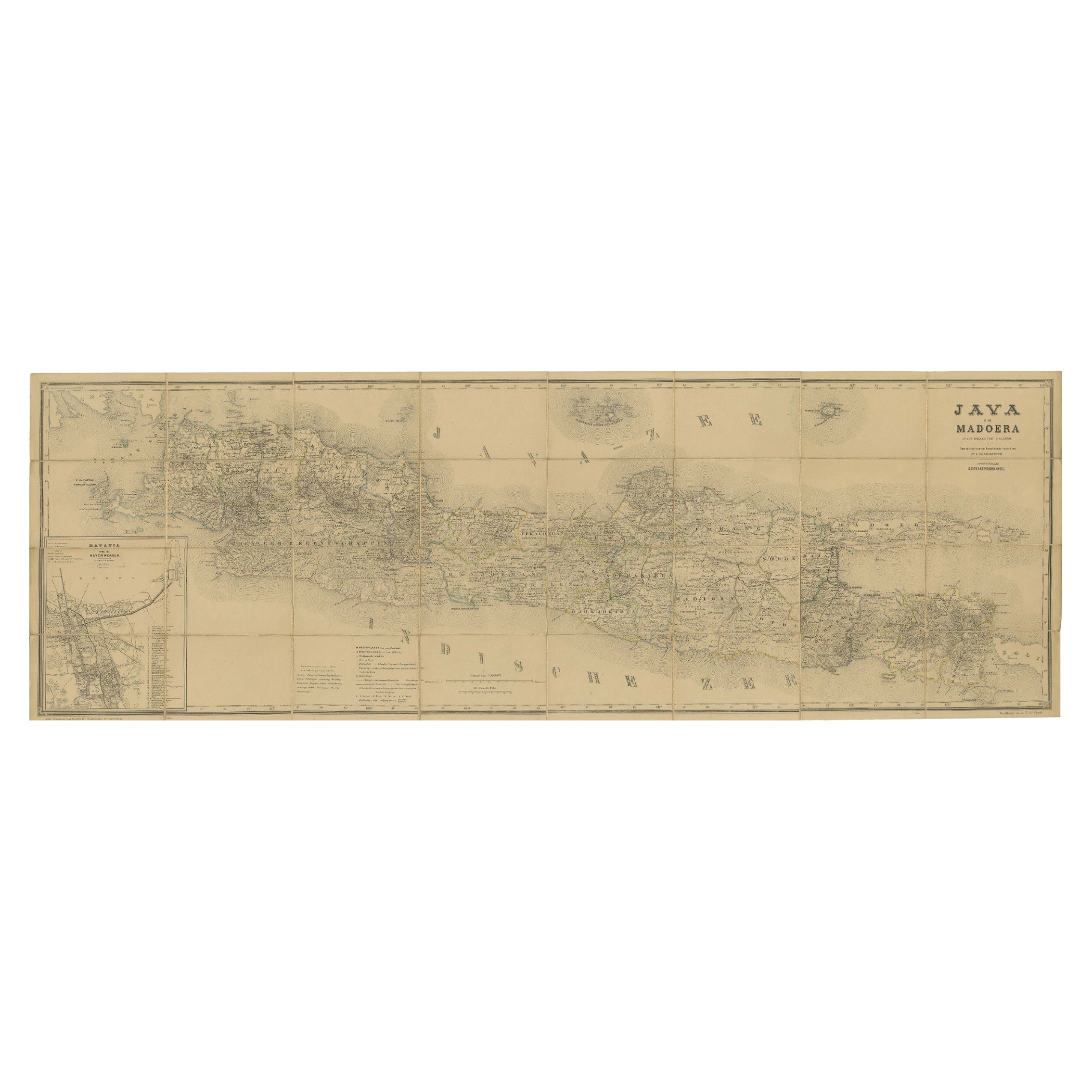
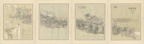
Large Antique Map of Java & Madura with Batavia Inset, c.1870s Dutch East Indies
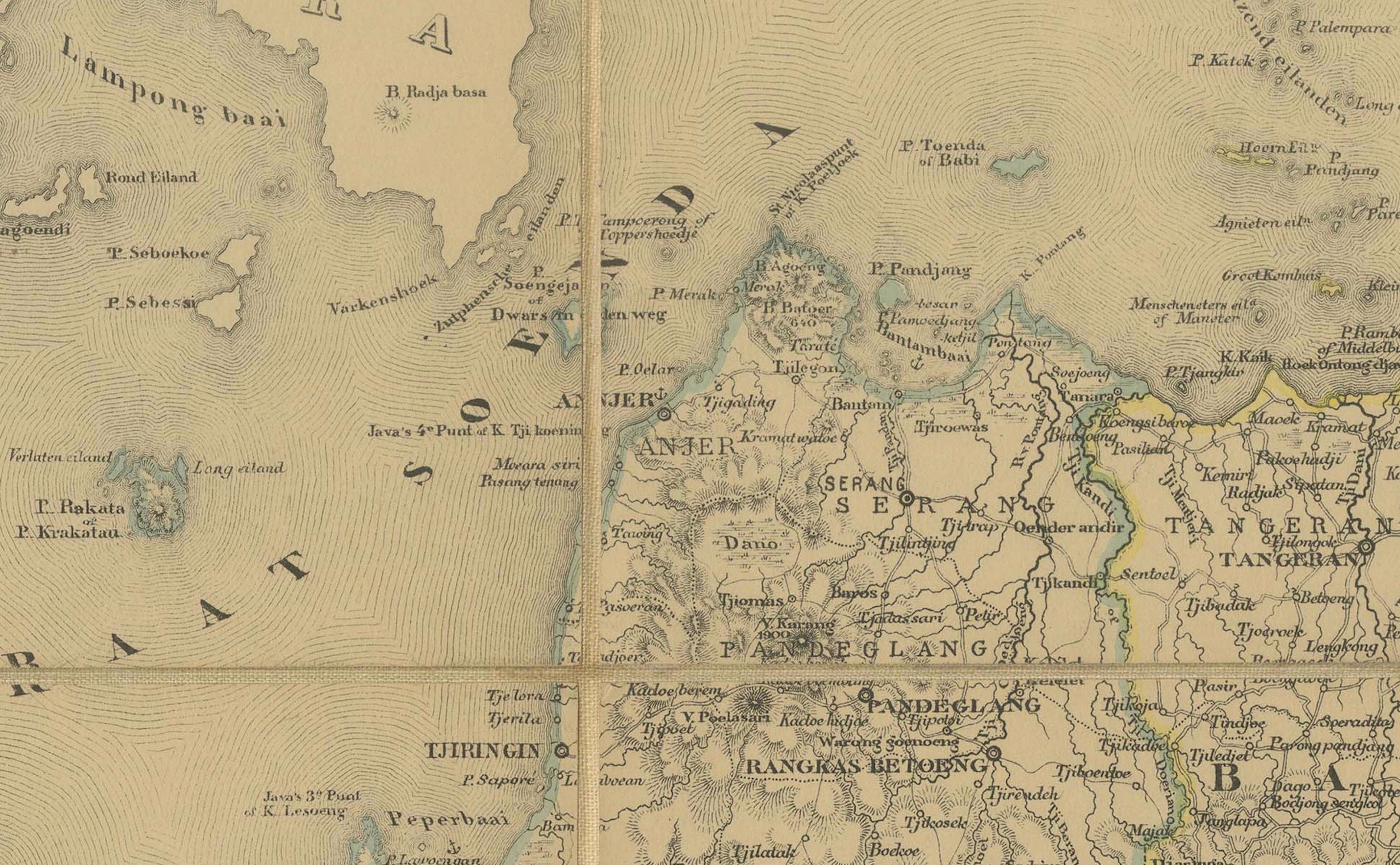
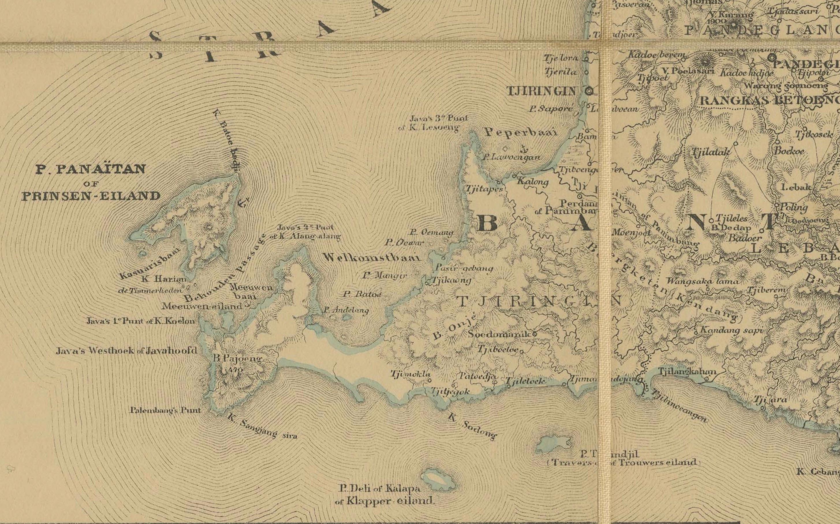
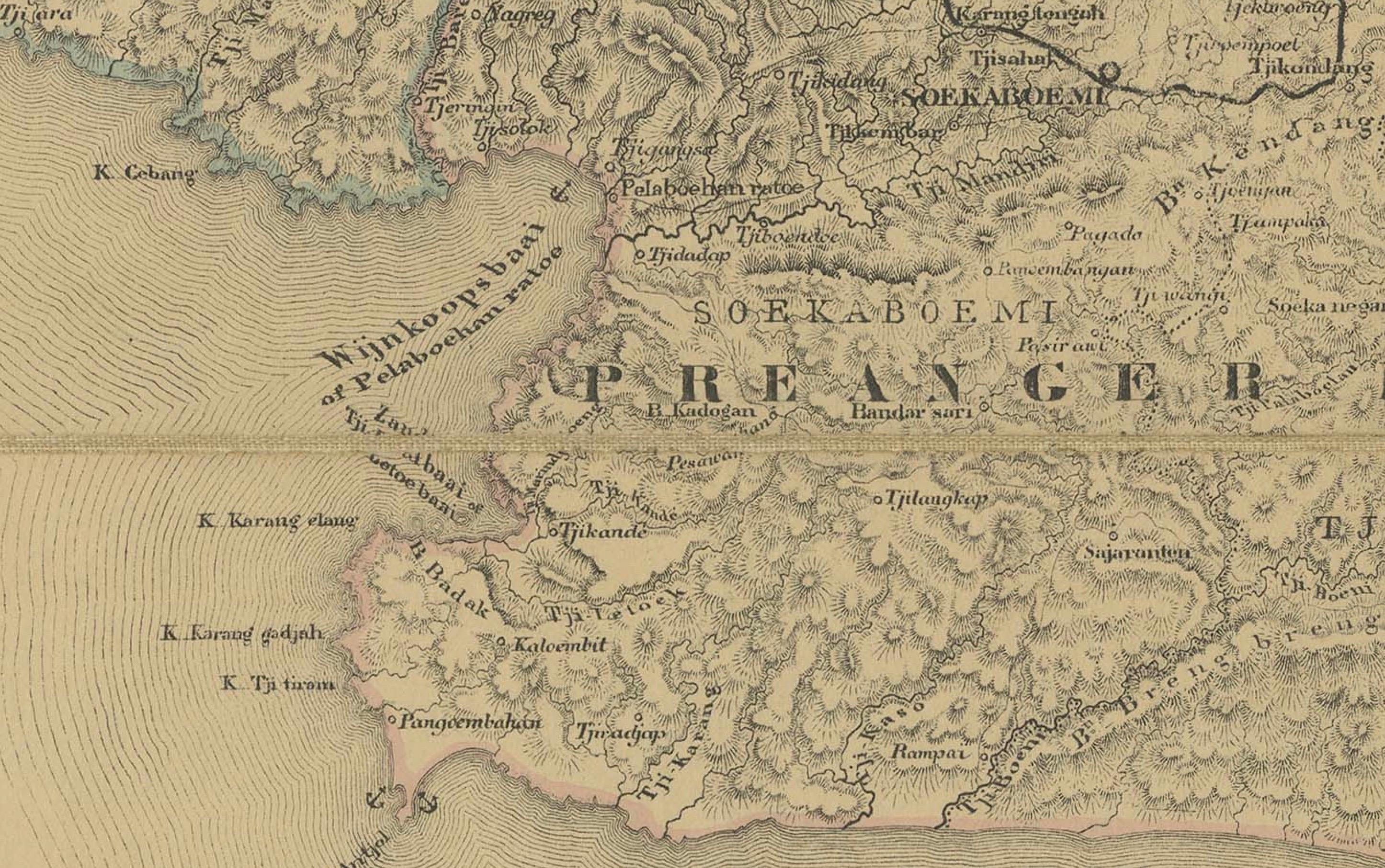
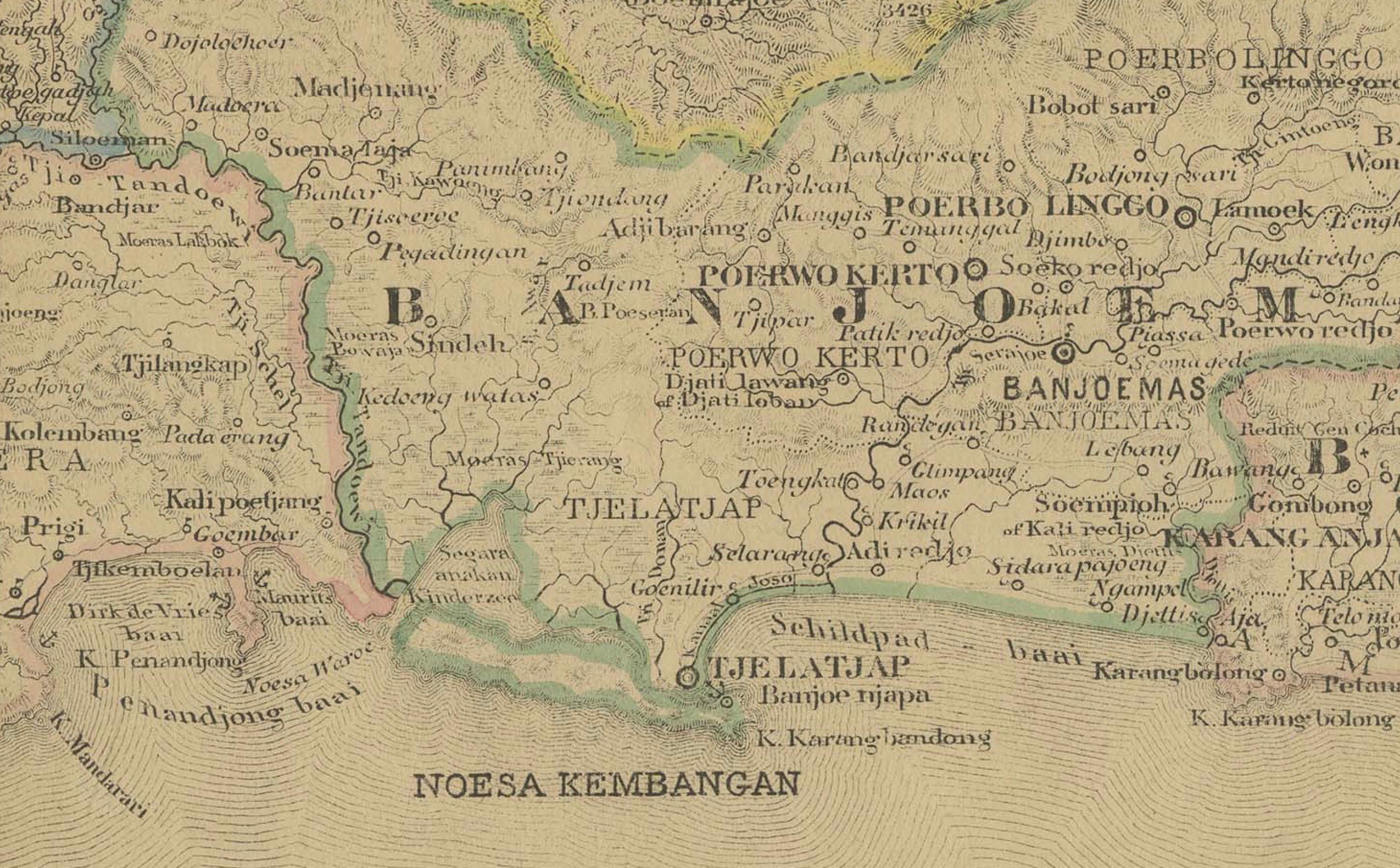
This finely detailed 19th-century Dutch colonial map is titled “Java en Madoera op den schaal van 1:600.000”, published in Amsterdam by Seyffardt’s Boekhandel in the late 19th century, circa 1870s–1880s. The map was produced at a scale of 1:600,000, offering an authoritative overview of the most important island of the Netherlands Indies.
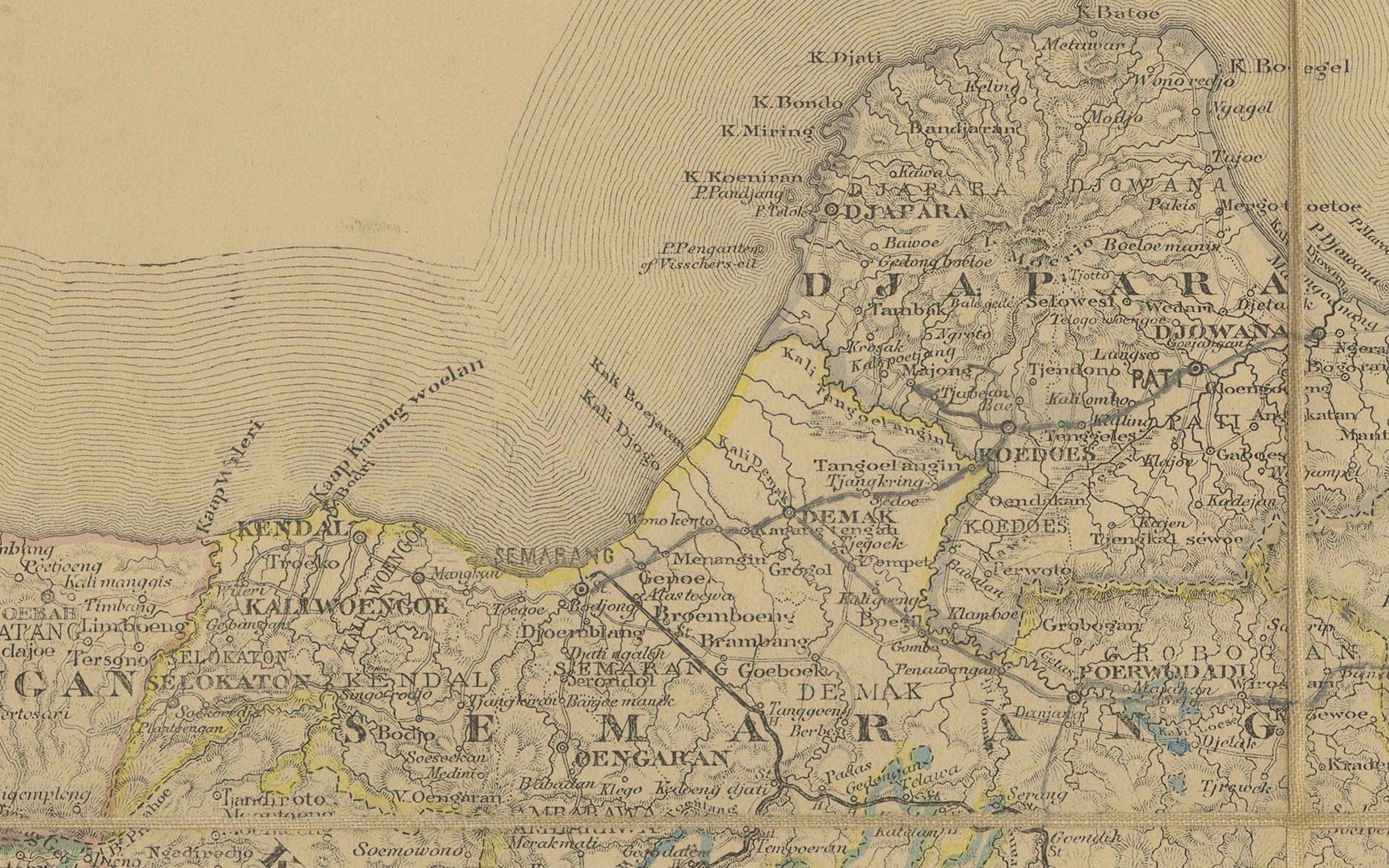
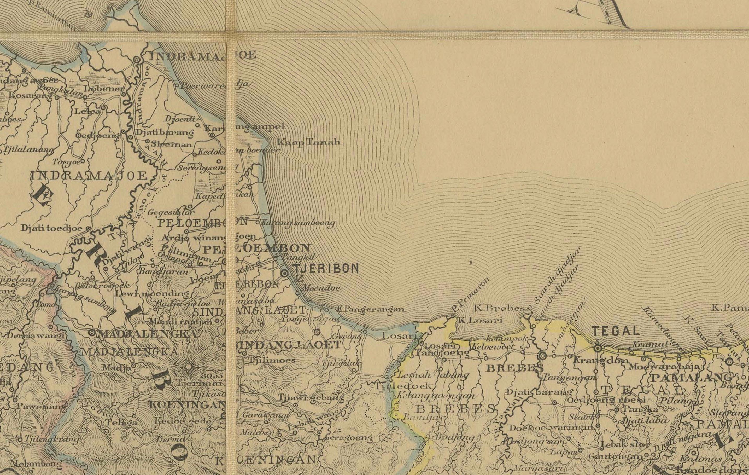
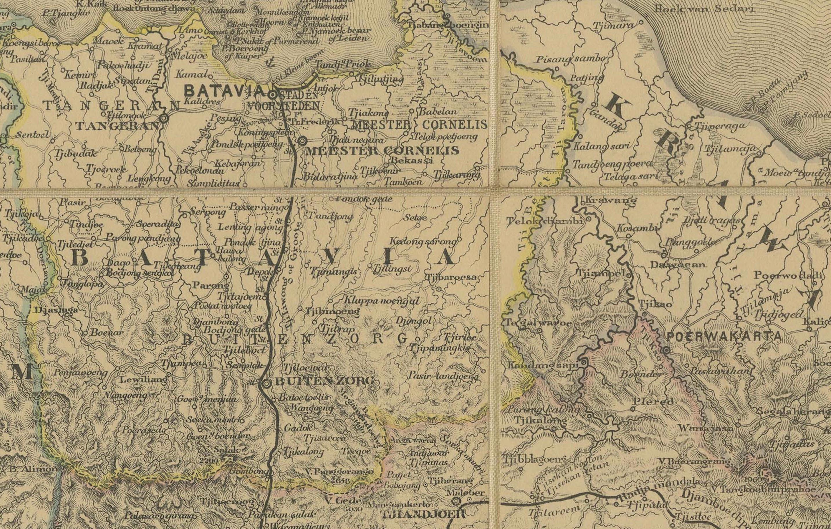
The map covers the entire island of Java together with Madura, highlighting towns, residencies, mountain ranges, rivers, and the road network. Relief is expressed through finely engraved hachures, and administrative divisions are outlined with subtle original hand color.
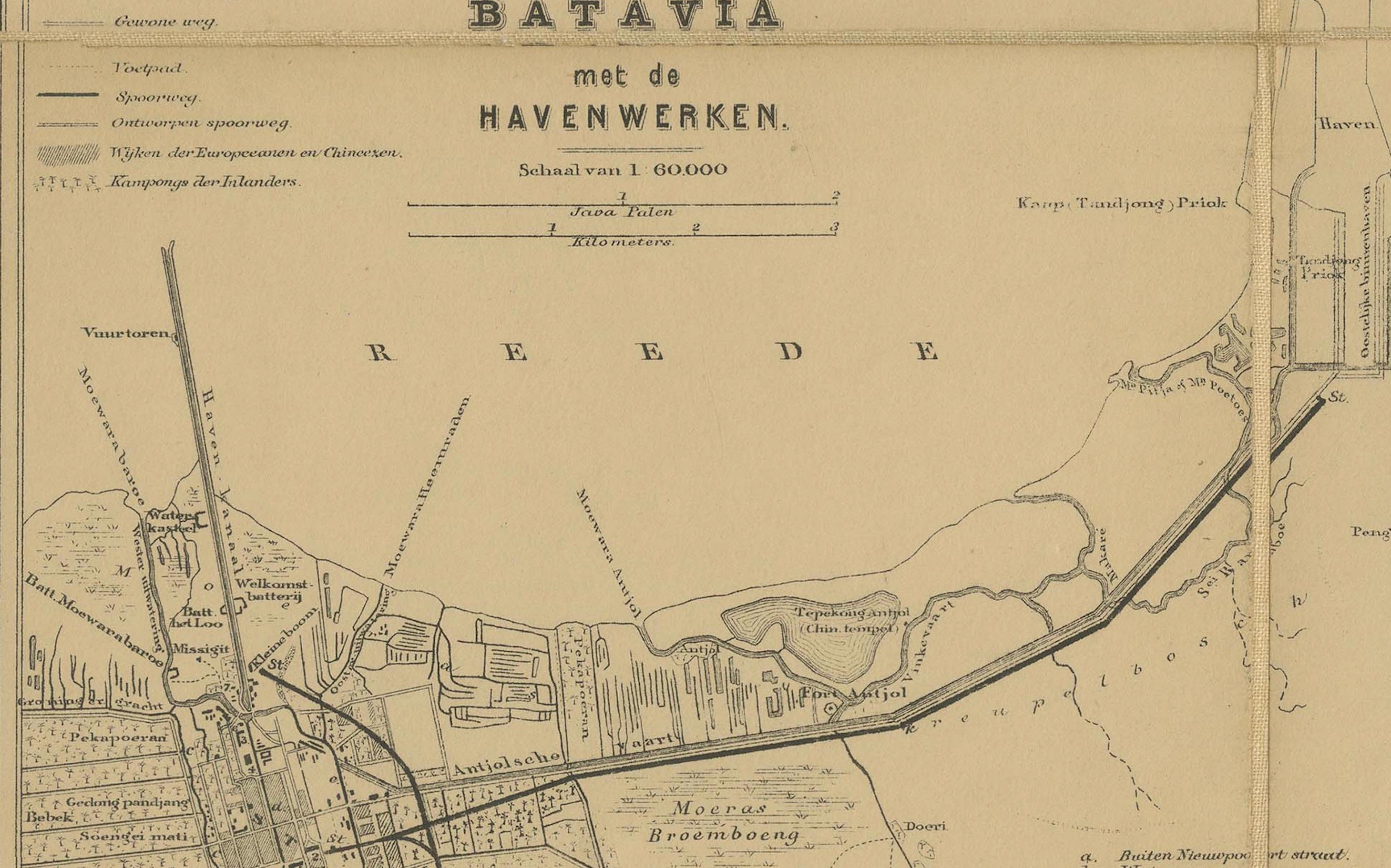
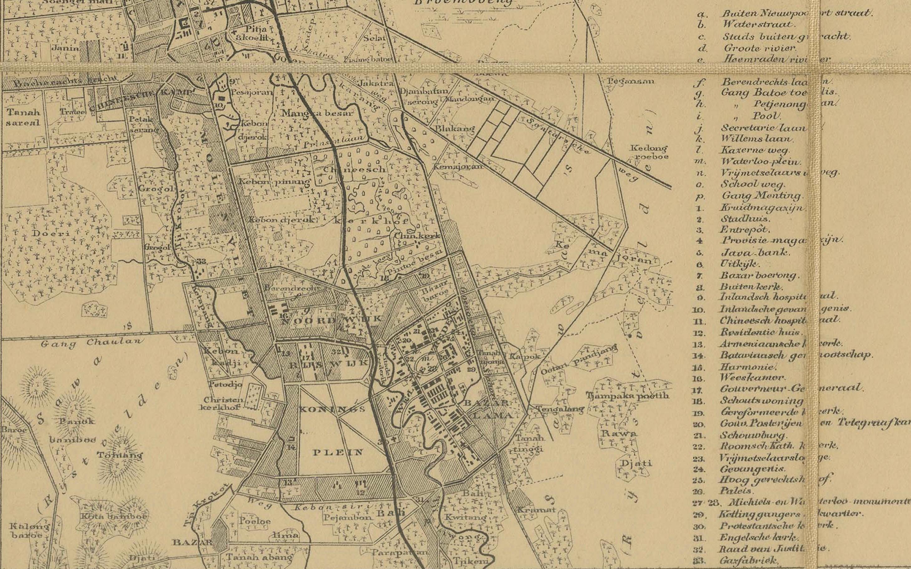
In the lower left corner, an important inset plan shows Batavia (modern Jakarta) and its port area, with canals, fortifications, and public buildings carefully named — a rare and valuable reference to the colonial capital during its 19th-century expansion.
Size: approx. 124 × 42 cm (49 × 16½ in) when fully opened. Dissected into panels and mounted on original linen, as issued, making it both portable and durable.
Condition: Good. Original linen backing with issued folds. Some light toning and minor spotting along folds and intersections, but overall strong and complete.
Framing Tips: Due to its long horizontal format, this map works best in a wide landscape-style frame. A black or dark wood frame with a cream or pale grey mat highlights the detail while emphasizing its cartographic presence.
Technique: Engraving with original hand color, dissected and mounted on linen
Maker: Seyffardt’s Boekhandel, Amsterdam, c.1870s
---
Collector’s Note: Large-scale Dutch colonial maps of Java were indispensable for administrators, traders, and travelers. Seyffardt’s edition is especially desirable for its Batavia inset, documenting the colonial capital in fine detail. Surviving examples in good condition are increasingly scarce and sought after by collectors of Indonesia and the Dutch East Indies.