maps-prints.com
✦
Black Friday Sale
Friday 20 to Monday 30 November: up to 30% off original antique maps and prints
The terms
- Up to 30% off selected original antique maps and prints. Every piece is an original, printed in its own time; none is a reproduction.
- The sale runs from Friday 20 November to Monday 30 November. Sale prices shown here apply from Friday 20 November; until then pieces are sold at their regular price.
- Free FedEx shipping on qualifying orders placed on our own websites: USA, Canada, UK and Europe over $500 / €450; rest of the world over $750 / €675. Smaller orders pay our normal shipping rate.
- Orders placed from 15 to 30 November ship from 1 December, in time for Christmas. Our shipping partner is InXpress.
- Each piece is unique, so the sale is while stock lasts.
Collection:AllAmericanSea chartsMilitaryNatural historyFashionArchitectureBotanicalSacredEast Indies
Sale prices apply from Friday 20 November. Save the pieces you like with the heart and come back on Friday.
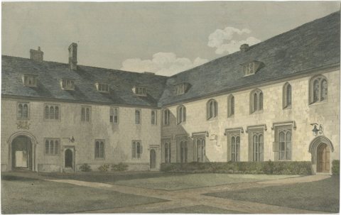 Corpus Christi College Cambridge, Old Court, 19thC Hand-Colored Engraving
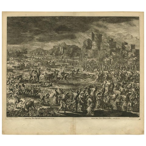 Antique Bible Print Eighth Plague of Egypt from the Bible Sacra, 1743
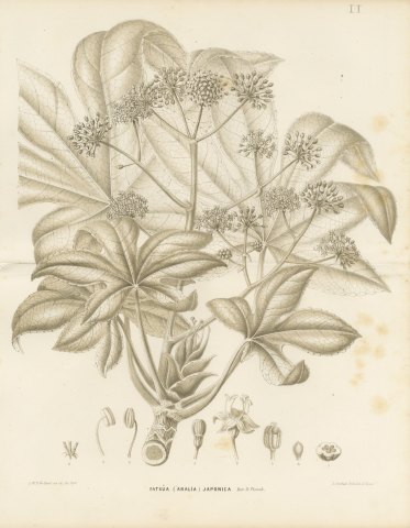 Fatsia Japonica, Aralia Japonica Flowering Branch Lithograph, 1858
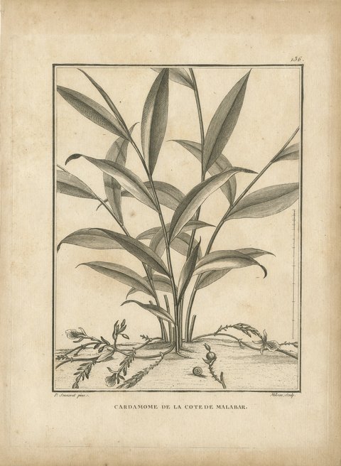 Cardamom of Malabar and Madagascar, Pair of Antique Spice Plates, 1806
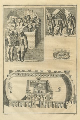 Roman Walled Camp Enclosures and Soldiers, Montfaucon Engraving, 1722
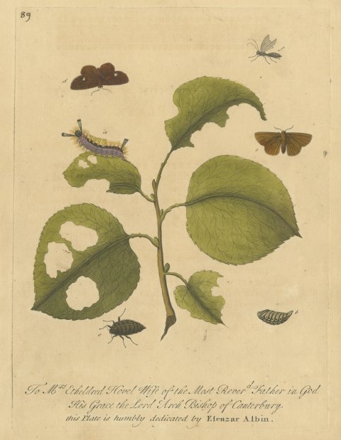 Tufted Caterpillar, Moths and Beetle on a Leafy Branch, Albin Plate 89, 1720
 Four of the Seven Churches of Asia Minor, Antique Set, circa 1850
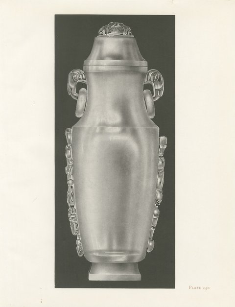 Rock Crystal on Black, Pu-tai and a Dragon Vase, Two Plates, 1911
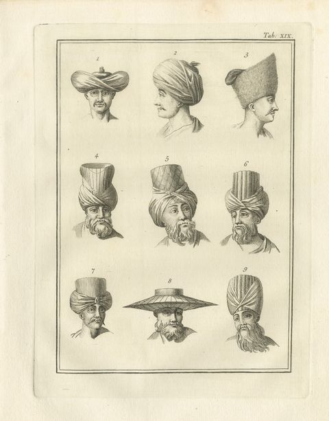 Nine Numbered Turbans and Headdresses, Antique Niebuhr Print, 1776
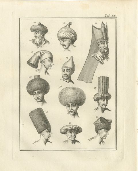 Eleven Numbered Turbans and Caps, Antique Niebuhr Plate XX, 1776
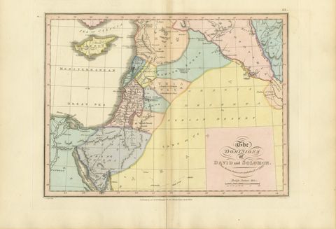 The Dominions of David and Solomon, Antique Hand-Colored Map, 1823
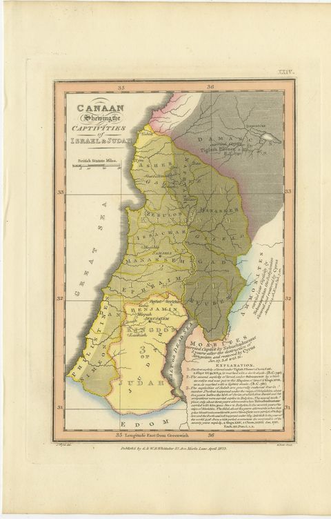 Canaan and the Captivities of Israel and Judah, Antique Map, 1823
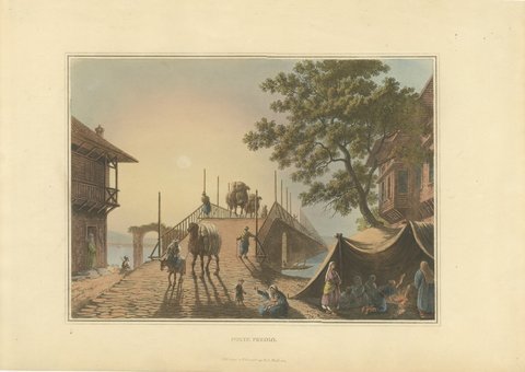 Ponte Piccolo with Camel Train, Antique Hand Colored Aquatint, 1809
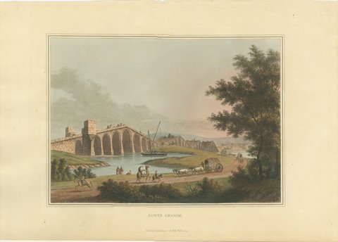 Ponte Grande, Ottoman Arched Bridge, Antique Aquatint by Mayer, 1809
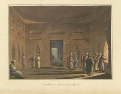 Monument on the Coast of Syria, Antique Hand Colored Aquatint, 1810
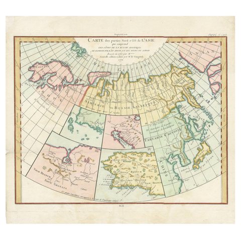 Antique Map of North Europe and East Asia by Vaugondy, circa 1750
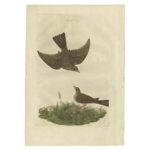 Antique Bird Print of the Common Lark by Sepp & Nozeman, 1770
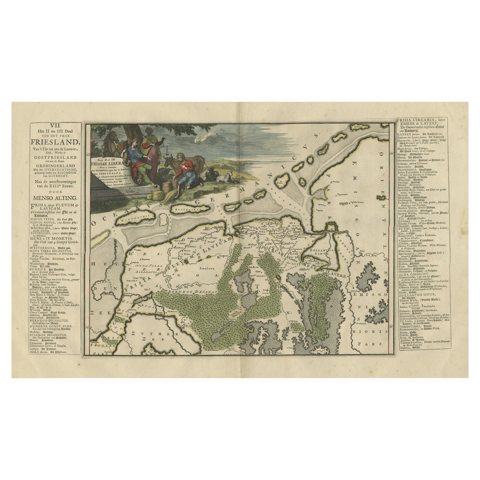 Antique Map of Friesland after the Floods of the 13th Century, 1718
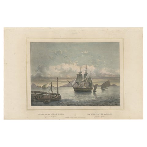 Old Print of Ships near Anyer & Krakatoa in the Sunda Straits, Indonesia, 1844
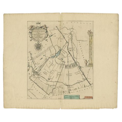 Antique Map of the Haskerland Township 'Friesland' by Halma, 1718
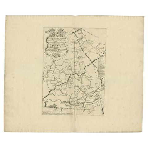 Antique Map of the Hennaarderadeel Township 'Friesland' by Halma, 1718
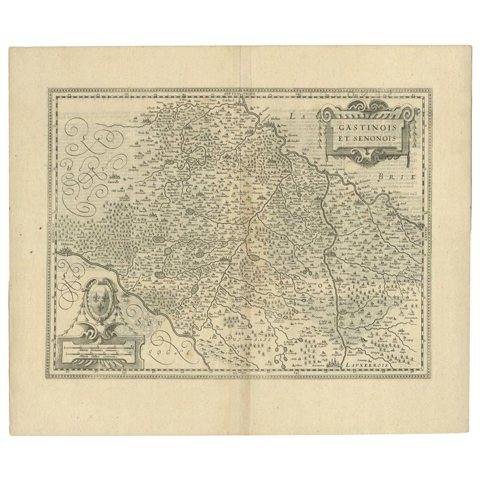 Antique Map of the Region of Étampes and Sens by Janssonius, c.1650
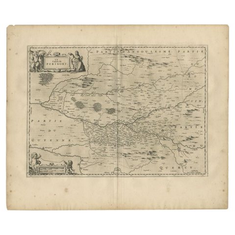 Antique Map of the Region of Périgord by Janssonius, 1657
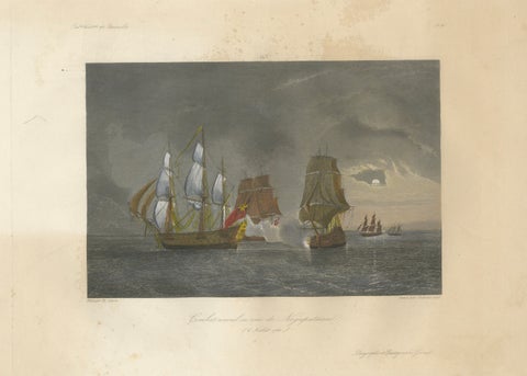 French-British Naval Battle of Negapatam, India, c.1840
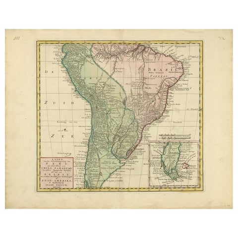 Antique Map of South America by Tirion, c.1765
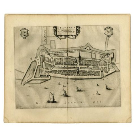 Antique Map of Stavoren by Blaeu, 1649
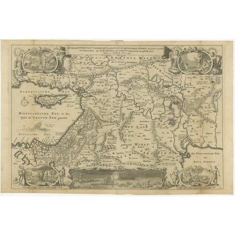 Antique Map of the Holy Land by Keur, 1748
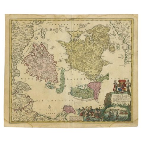 Antique Map of the Islands of Denmark by Homann Heirs, 1720
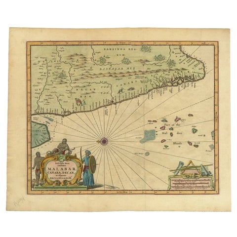 Antique Map of the Malabar Coast by Baldaeus, 1744
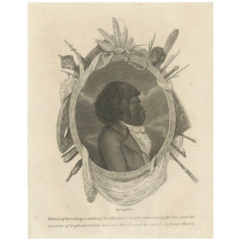 The First Australian Tourist to Visit England: Bennelong of the Eora Nation 1802
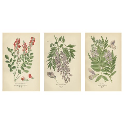 Garden Elegance: A Triptych of 19th Century Botanical Illustrations, 1896
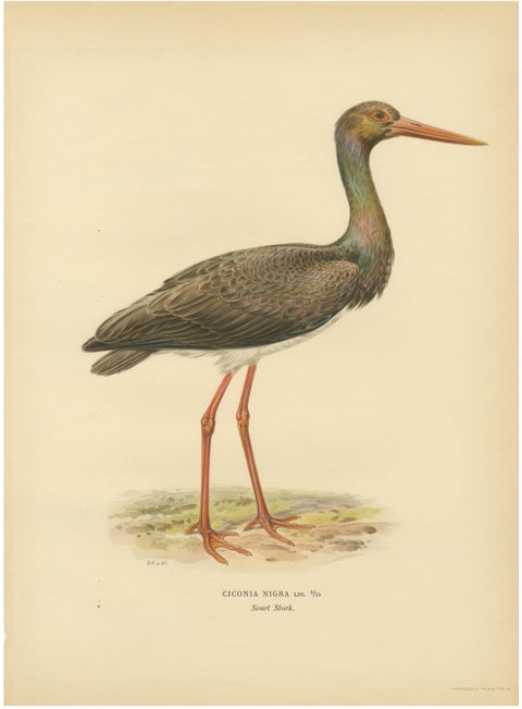 Black Stork Ciconia Nigra - Antique Scandinavian Bird Lithograph, 1929
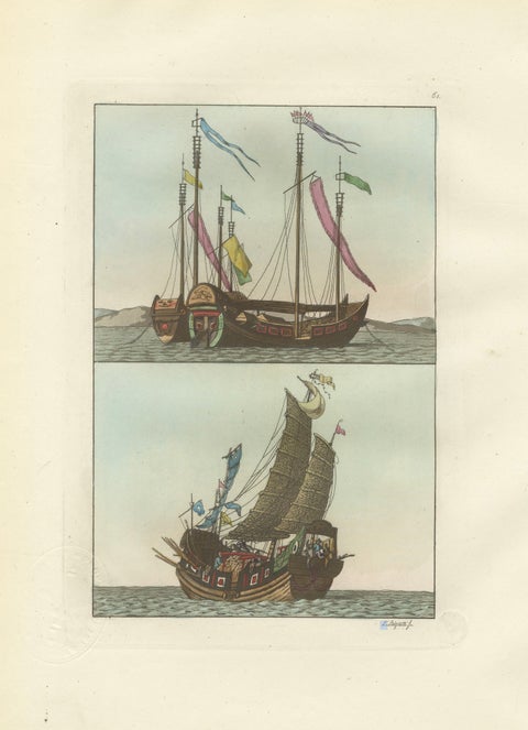 Chinese Junks and Sailing Vessels – Ferrario Il Costume Antico e Moderno, 1815
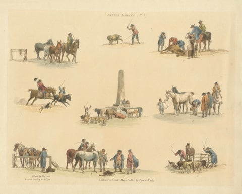 Cattle Market Rural Scenes — Hand-Colored Etching by W.H. Pyne, London 1803
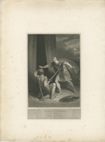 Antique Shakespeare Engraving, Julius Caesar, Brutus and Strato, Boydell, 1802
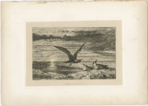 Seagulls at Sunset on Coastal Cliffs, Etching after R. Ansdell R.A., 1872
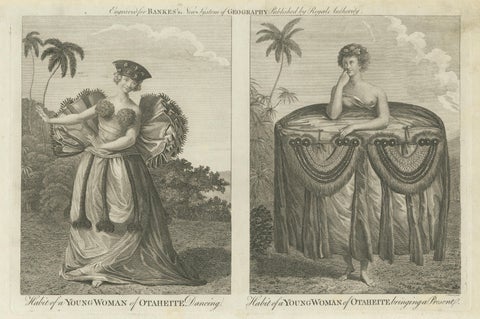 Tahitian Costume Engraving Pair, Otaheite Women, Pacific Voyages, c.1790
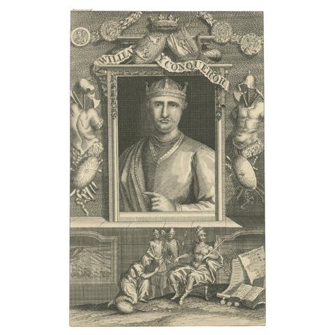 William the Conqueror Portrait Engraving, Domesday Scene, England, c.1740
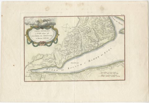 Antique Map of Sinai and Gulf of Suez by Niebuhr, Arabia, c.1774
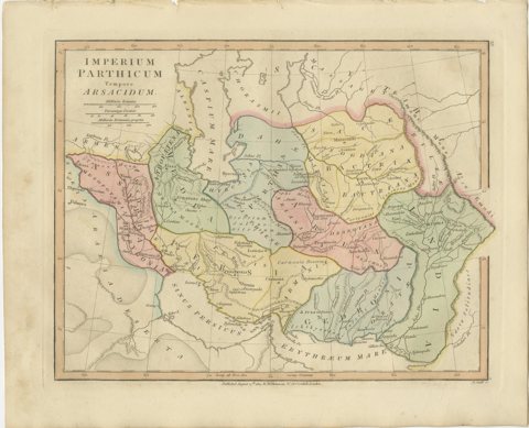 Parthian Empire Map, Arsacid Persia & Bactria, Wilkinson London 1817
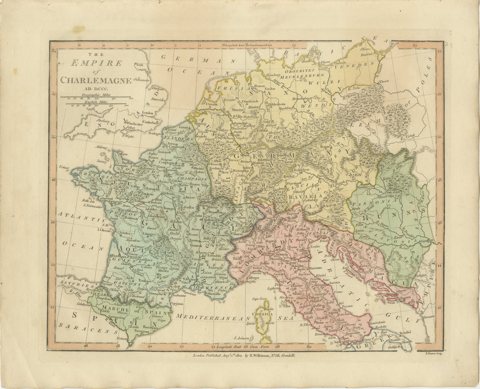 Charlemagne’s Empire Map, Carolingian Europe France Germany Italy 1817
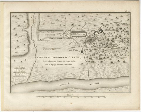 Ancient Olympia and Olympic Games Site Plan by Ambroise Tardieu, 1825
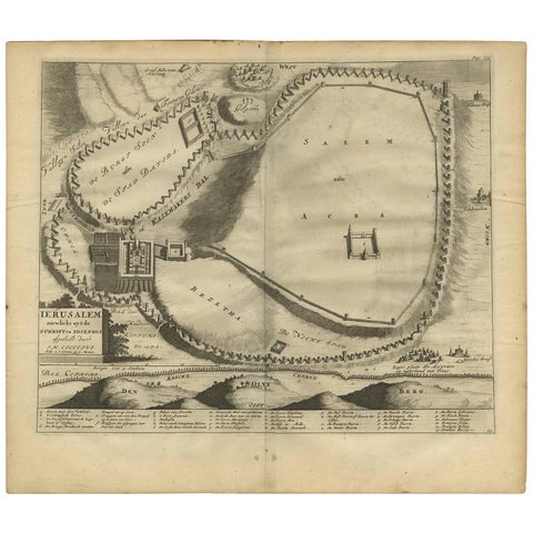 Antique Bible Plan of Jerusalem by Covens & Mortier, 1743
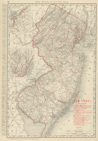 Antique Map of New Jersey, The Garden State, Rand McNally, 1899
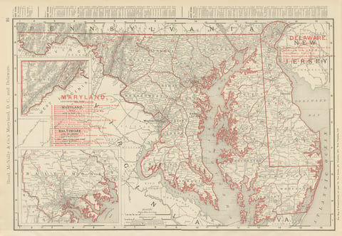 Antique Map of Maryland and Delaware, with Baltimore Inset, Rand McNally, 1899
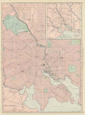 Antique Map of Baltimore, with Druid Hill Park, Rand McNally, 1899
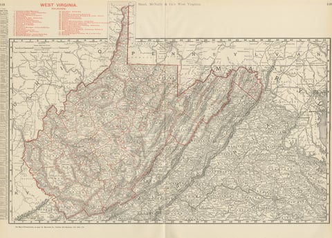 Antique Map of West Virginia, The Mountain State, Rand McNally, 1899
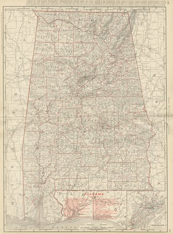 Antique Map of Alabama, The Yellowhammer State, Rand McNally, 1899
Sharing the sale? Download the Black Friday banners.