About this sheet
Antique Map of Sinai and Gulf of Suez by Niebuhr, Arabia, c.1774
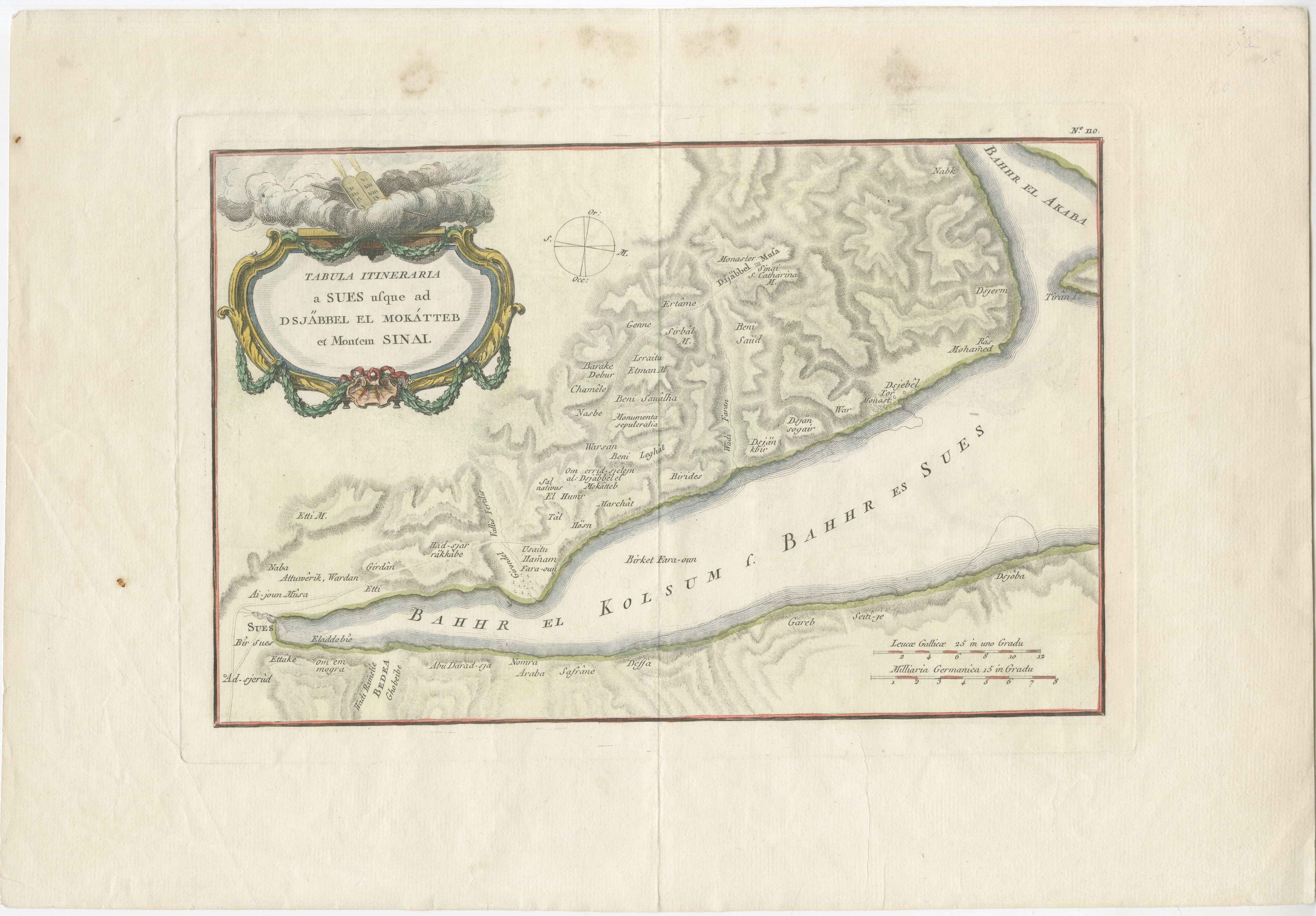
A rare and highly important 18th-century engraved map titled “Tabula Itineraria a Sues usque ad Dsjaebbel el Mokatteb et Montem Sinai”, created by the renowned German cartographer and explorer Carsten Niebuhr and published circa 1774 in Amsterdam. This map forms part of Niebuhr’s groundbreaking documentation of the Middle East, produced following the famous Danish scientific expedition to Arabia (1761–1767), one of the most significant exploratory journeys of the Enlightenment era.
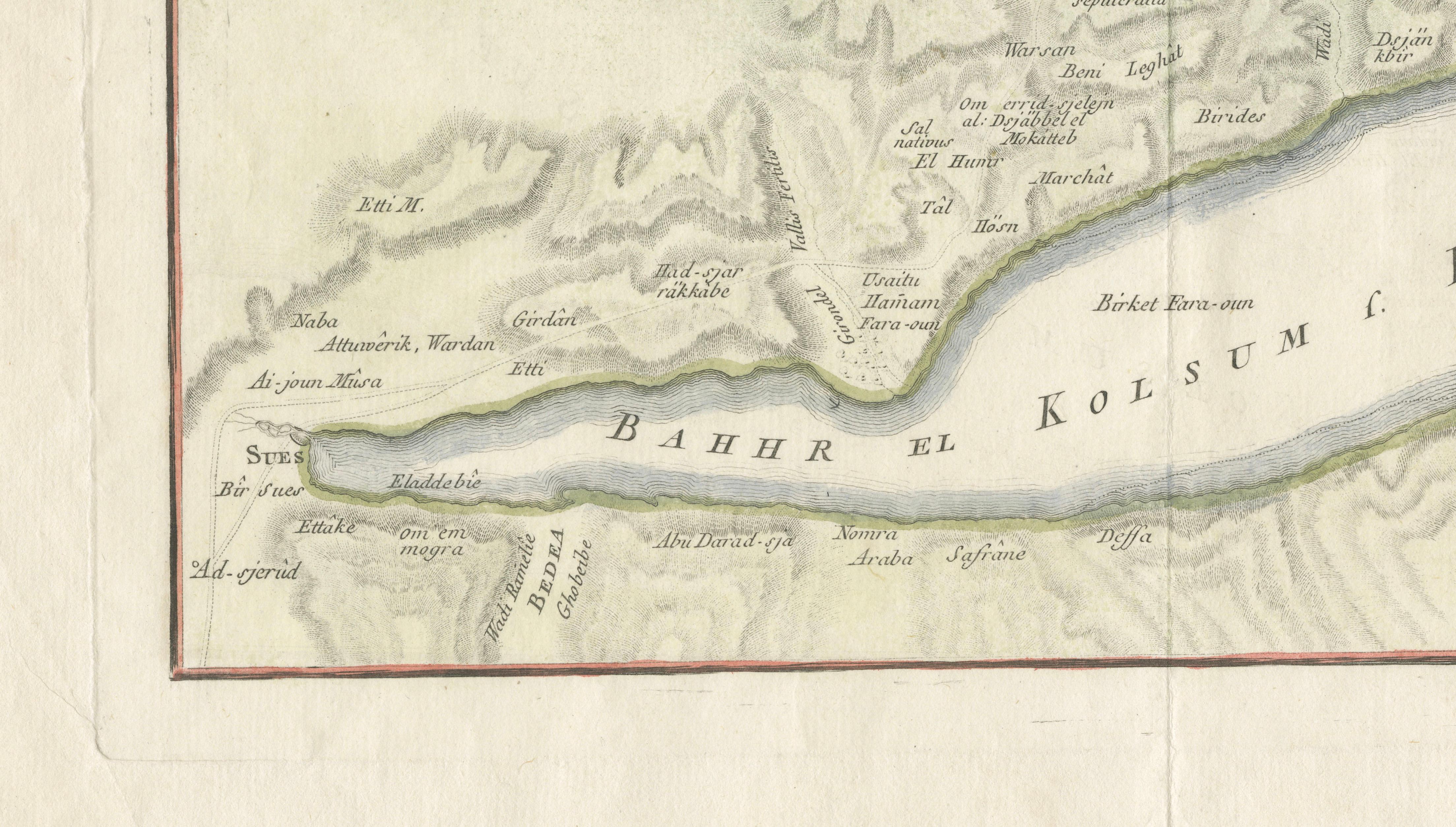
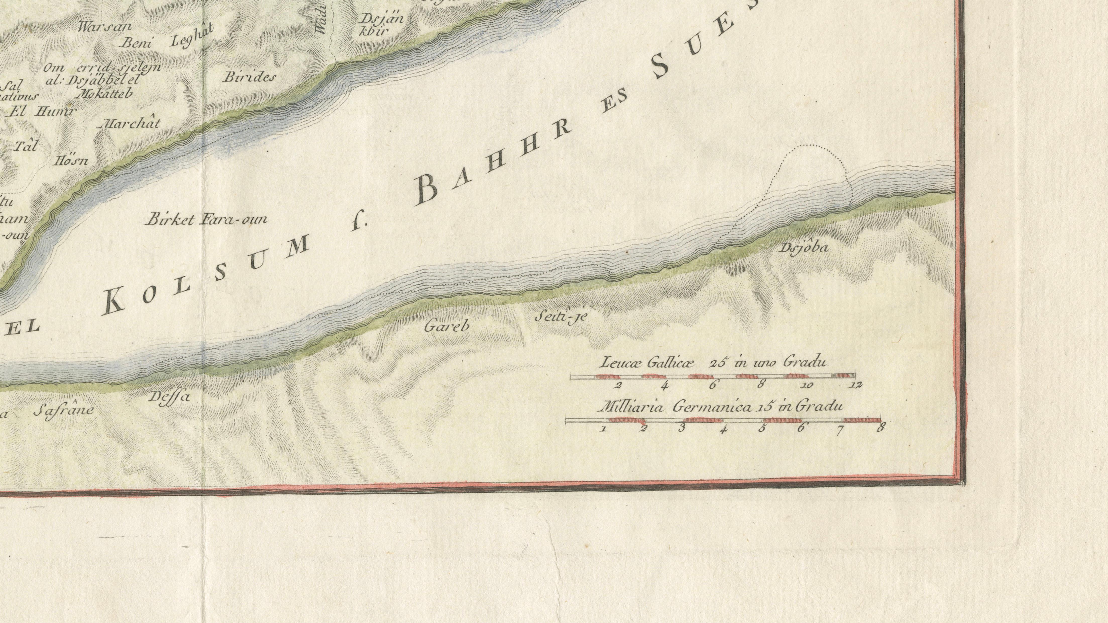
The map depicts the Gulf of Suez and the Sinai Peninsula in remarkable detail, extending southward toward Mount Sinai. It captures the rugged mountainous terrain of the region with finely engraved topographical shading, illustrating the dramatic landscape that has held both strategic and religious importance for centuries. The waterways are labeled as “Bahr el Kolsum” and “Bahr es Sues,” reflecting historical naming conventions of the Red Sea and Gulf of Suez.
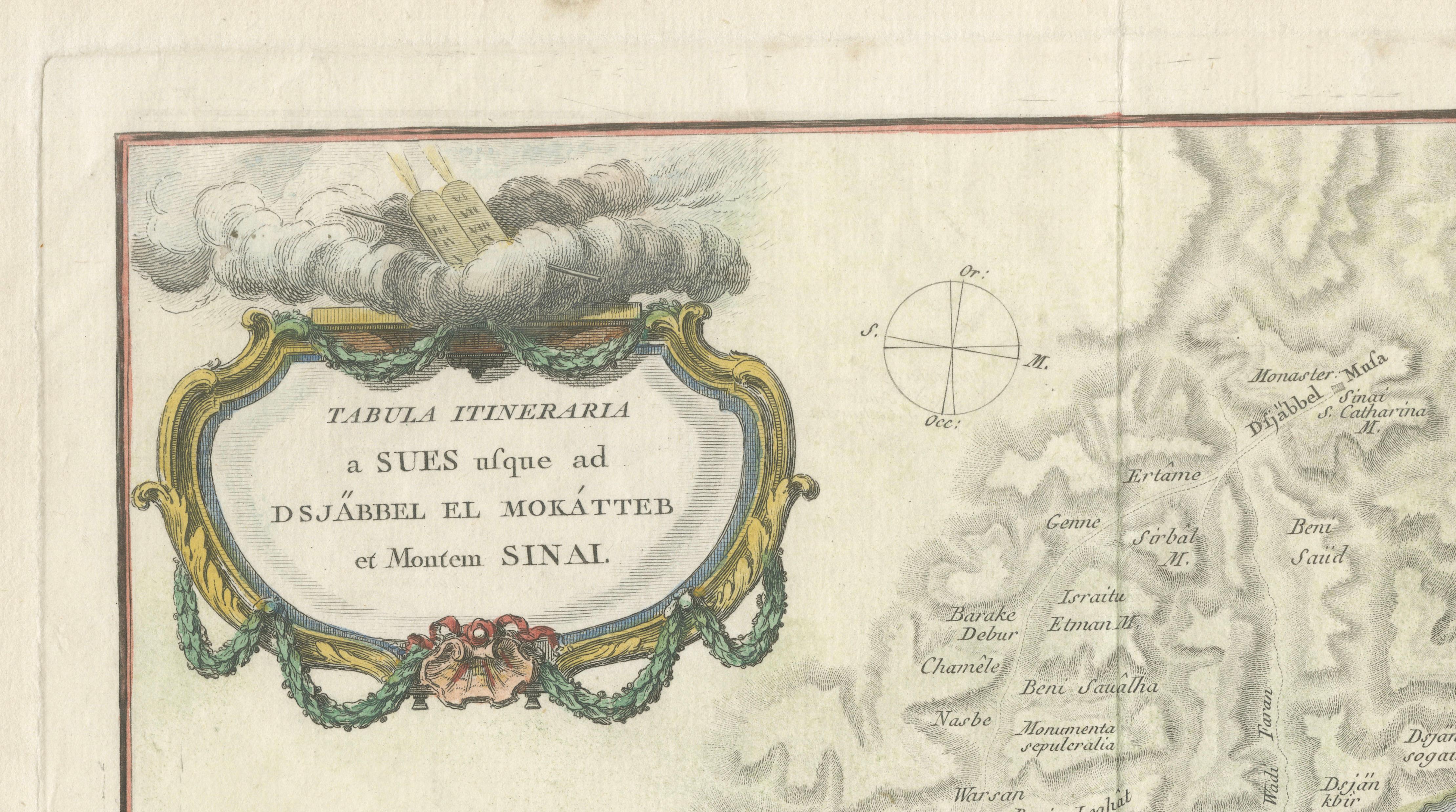
A standout feature is the richly decorative cartouche in the upper left, framing the title within an ornate rococo design, often enhanced with original hand coloring. This decorative element contrasts beautifully with the otherwise scientific and precise rendering of the terrain, making the map both visually striking and academically important.
Unusually, the map is oriented with north to the left, a characteristic found in several of Niebuhr’s works, reflecting the practical surveying methods used during the expedition. Numerous routes, settlements, and geographic markers are included, offering insight into early European understanding of the Sinai region.
Carsten Niebuhr (1733–1815) was the sole surviving member of the Danish Arabia expedition and became one of the most respected cartographers of his time. His maps are celebrated for their accuracy, based on direct observation and measurement, rather than second-hand reports, marking a major advancement in the cartographic study of the Middle East.
This piece is particularly desirable for collectors of early Middle Eastern cartography, exploration history, and Enlightenment-era scientific works. It also serves as a refined decorative object, combining elegance with intellectual depth.
This is an original 18th-century engraving, not a reproduction. All items we offer are authentic period works of art over 100 years old. The print is sold unframed; any framed images are shown for presentation and interior inspiration only.
Condition: Good condition with age-related toning and scattered spotting in the margins. Central fold as issued. Light creasing and minor handling wear consistent with age. Plate mark visible and impression remains strong.
Framing tips: Ideally presented in a dark walnut or ebonized frame with a wide ivory mat to highlight the delicate engraving and decorative cartouche. The horizontal format makes it especially suitable for display above a desk, console, or sofa in a study or refined interior.
Technique: Copper engraving with original hand color
Maker: Carsten Niebuhr, published Amsterdam, circa 1774