Antique Maps of East Indies
110 original sheets
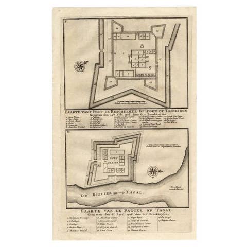
Antique Print of the Fortress on Cheribon or Cirebon, Java, Indonesia, 1726
1726 · € 330
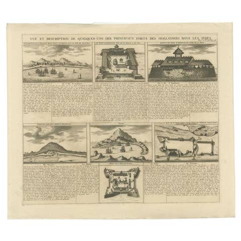
Antique Print of Forts and Views of the East Indies or Nowadays Indonesia, 1719
1719 · € 490
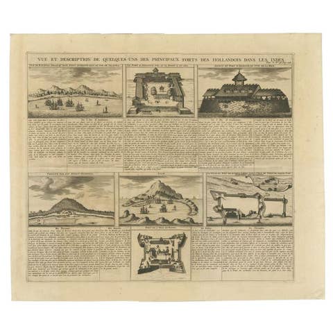
Antique Print of Forts and Views of the East Indies by Chatelain (1719)
1719 · € 490

Authentic Old Map of Sumatra, Malaysia and Singapore, 1745
1745 · € 480
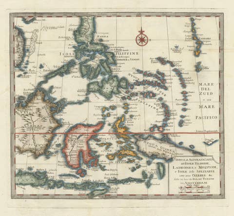
Antique Map of the Philippines & Eastern Indonesia: Spice Islands by Tirion 1738
1738 · € 739
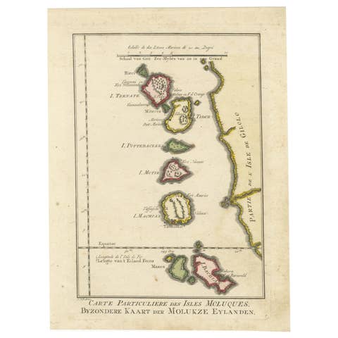
Old Map of the Spice Islands, Moluccas by Bellin, Published in 1771
1771 · € 200
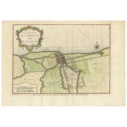
Map of Batavia’s Surroundings with Early Reference to Jakarta, Indonesia, c.1770
1770 · € 440
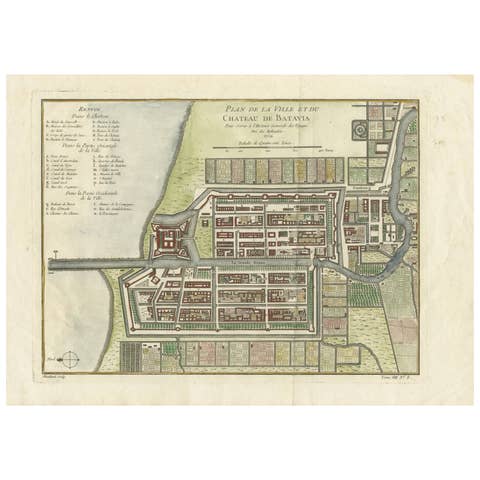
Hand-Colored 1750 Plan of Batavia, Colonial Jakarta, Indonesia by Jacques Bellin
1750 · € 640
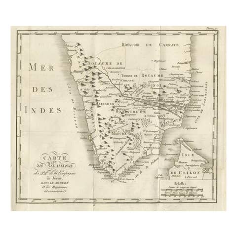
Antique Map of the Jesuit Missions in Madurai and Surrounding Kingdoms, c.1760
1760 · € 440
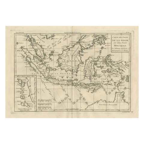
Antique East Indies Map by Rigobert Bonne, Copper Engraving, 1780
1780 · € 350

Elegant 18th Century Map of Southeast Asia, Siam, Sumatra & Java by Bonne - 1787
1787 · € 580

Antique Map Philippines – Moluccas, Celebes, Spice Islands – Tirion, c.1738
1738 · € 690
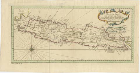
Antique Map of Java Indonesia, VOC Period, Decorative Cartouche, c.1750
1750 · € 549
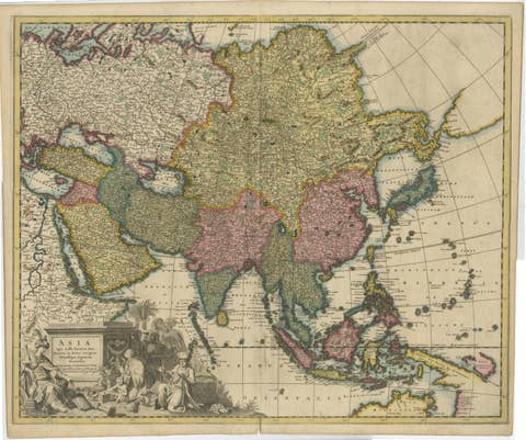
Decorative Antique Map of Asia and the East Indies, circa 1720
1720 · € 1 150