Antique Maps of Australia & Oceania
155 original sheets
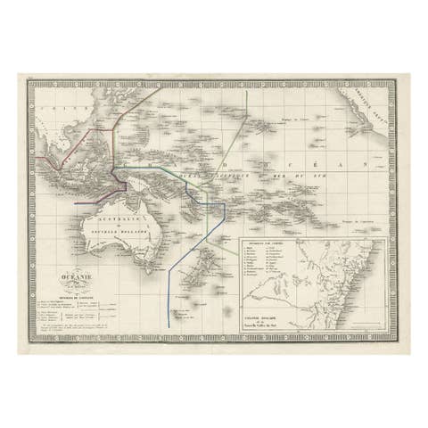
French Antique Map of Oceania with Details of the Australian Colonies, c.1840
1840 · € 220
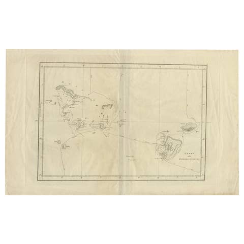
Antique Chart of the Friendly Islands or Tonga in the Pacific Ocean, 1785
1785 · € 190
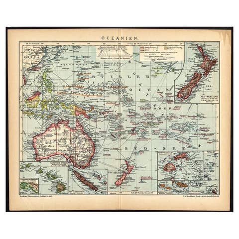
German Antique Map of Oceania, 1895
1895 · € 80
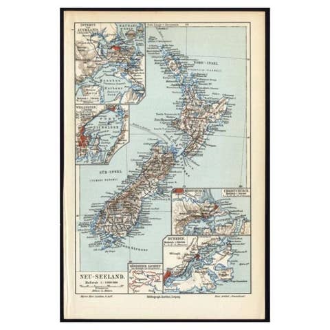
Antique Map of New Zealand, 1895
1895 · € 120
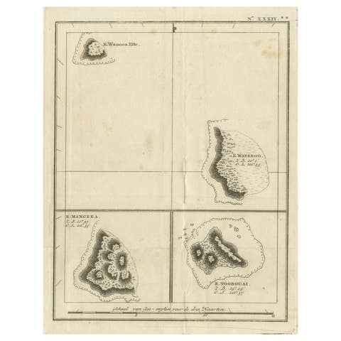
Antique Engraving of the Islands Wanooa, Wateeoo, Mangeea, Toobouai, Cook, 1803
1803 · € 260
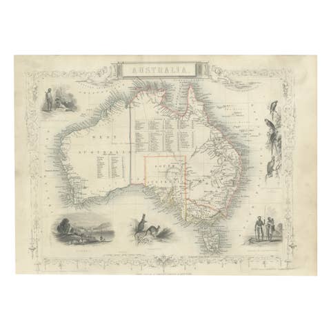
Gold Rush Era Masterpiece: The Tallis & Rapkin Rare Map of Pre-Queensland, 1851
1851 · € 580
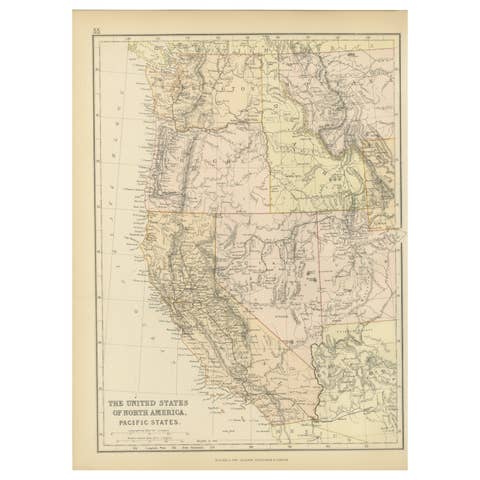
Antique Map of The United States of North America, Pacific States, 1882
1882 · € 250
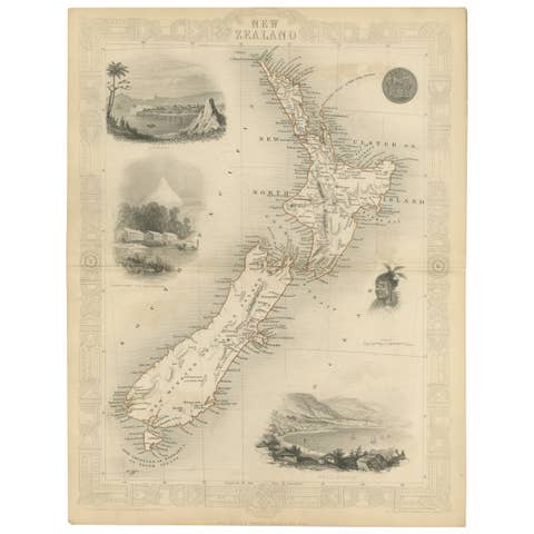
Map of New Zealand Showing Maori Culture and Early Colonial Settlements, 1851
1851 · € 190
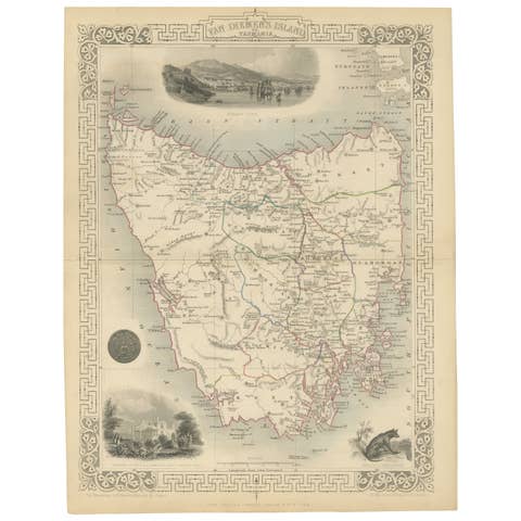
Map of Tasmania with Illustrations of Local Fauna and Colonial Landmarks, 1851
1851 · € 290
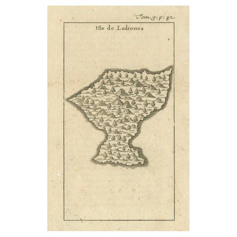
Isle de Ladrones: Early 18th-Century Map of the Mariana Islands by F. Bernard
€ 150

Antique Map of New Zealand, 1903, Featuring the North and South Islands and Alps
1903 · € 320

Antique Map of Australia, 1903, with Colonial Divisions and Detailed Topography
1903 · € 270
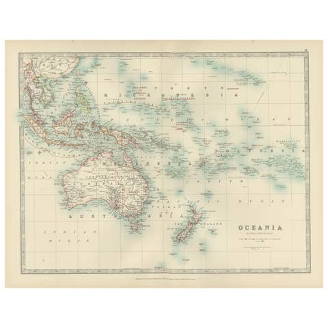
Antique Map of Oceania, 1903, Featuring the Pacific Islands and Australasia
1903 · € 340
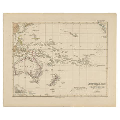
Antique Map of Australia, New Zealand & Polynesia – Stülpnagel, 1857
1857 · € 420
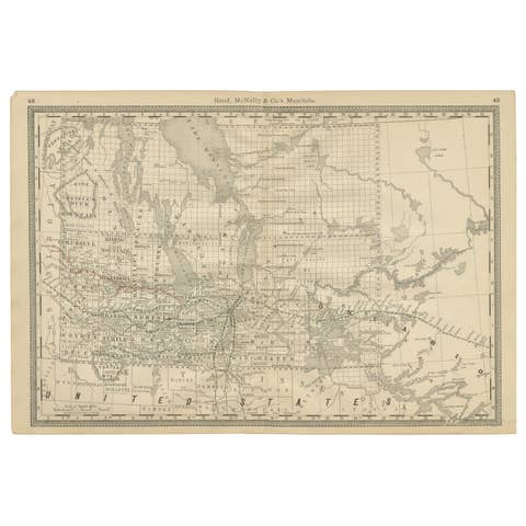
Manitoba Antique Railroad Map c.1888 – Keystone Province Cities & Towns
1888 · € 460
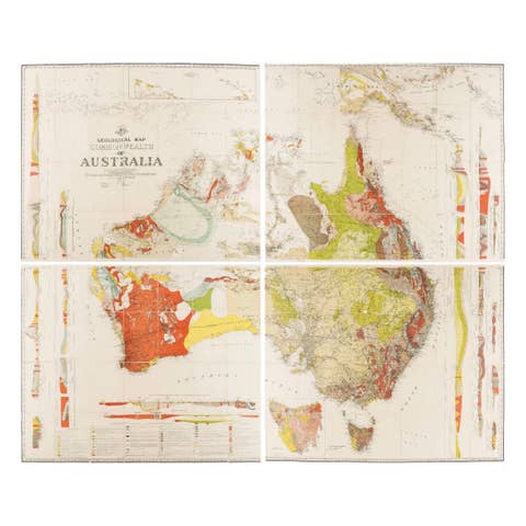
Impressive Geological Map of Australia – Rare Oversized Wall Display, 1931–32
1931 · € 4 750
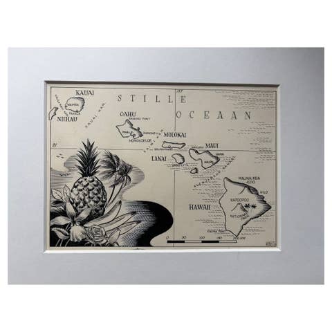
Original Illustration Map of Hawaii by Charles Burki, ca. 1948 – Ink Drawing
1948 · € 790
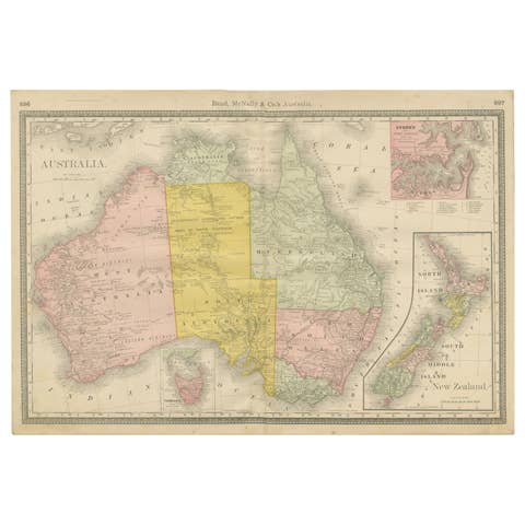
Antique Australia & New Zealand Map Wall Art – Rand McNally Atlas, c.1888
1888 · € 396
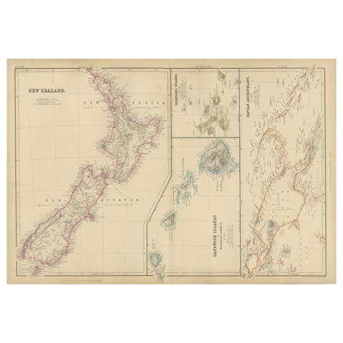
New Zealand, Antique Map, Pacific Islands, Sandwich Islands, Blackie Atlas 1860
1860 · € 360
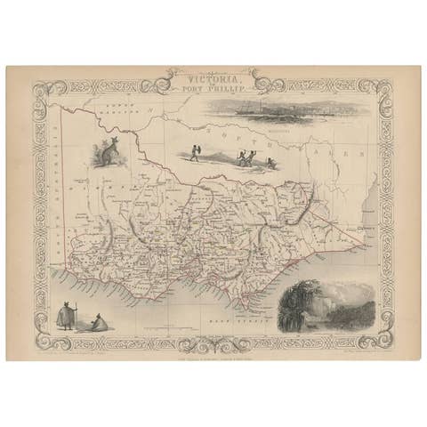
Antique Map of Victoria ‘Australia’ by J. Tallis, circa 1855
1855 · € 310
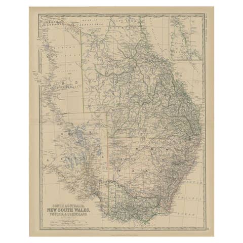
Antique Map of South Australia by Johnston, 1882
1882 · € 120
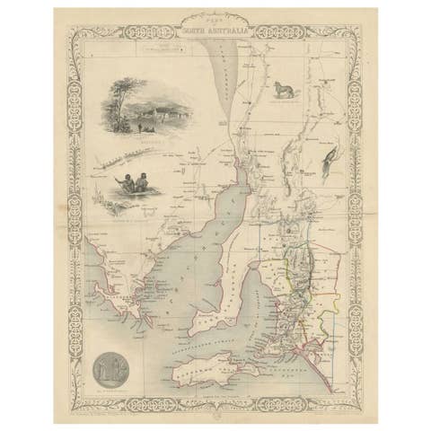
Antique Map of South Australia by Tallis, 1851
1851 · € 225
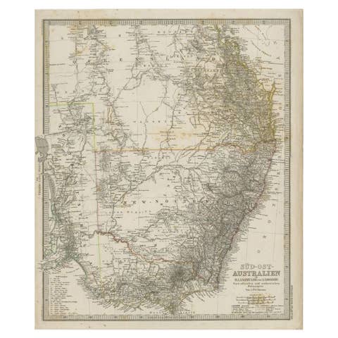
Antique Map of South East Australia by Stieler, c.1848
1848 · € 60
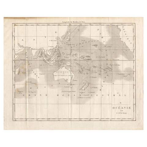
Antique Map of Oceania by Didot, 1836
1836 · € 88

Antique Map of Oceania by Hérisson, 1816
1816 · € 128
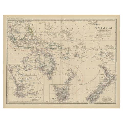
Antique Map of Oceania by Johnston, 1882
1882 · € 130
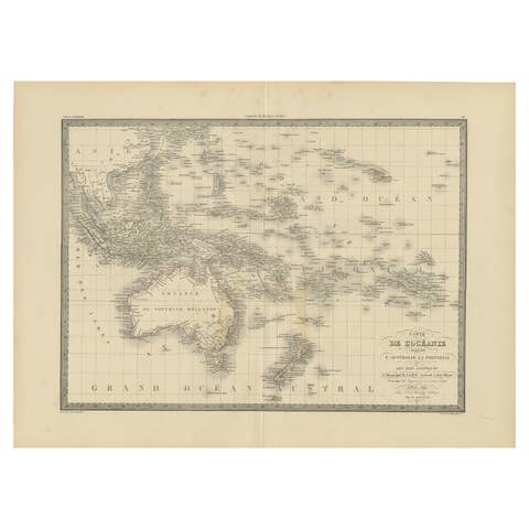
Antique Map of Oceania by Pierre M. Lapie, Paper, 1842, 19th Century
1842 · € 270
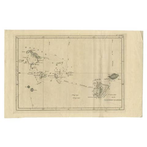
Antique Map of the Friendly Islands by Cook, 1803
1803 · € 215
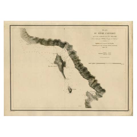
Antique Map of the Coast of New Ireland, Earlier Part of German New Guinea, 1833
1833 · € 560
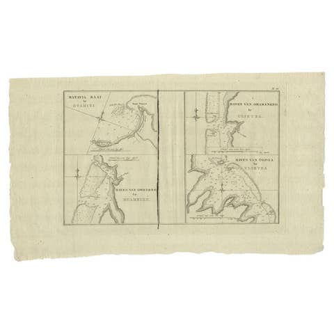
Antique Map of the Harbors of Matavai by Cook, 1803
1803 · € 280
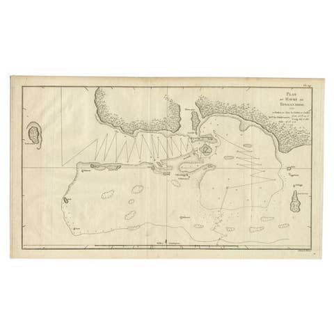
Antique Map of the Northern Coast of Tongatapu by Benard, c.1785
1785 · € 125

Antique Map of the Pacific Ocean by Rienzi, 1836
1836 · € 99
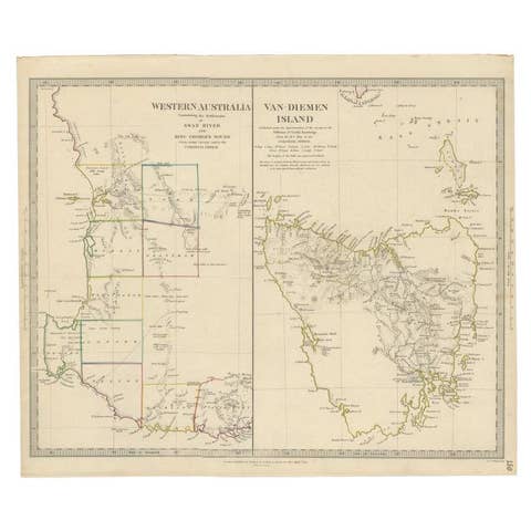
Antique Map of Western Australia and Van Diemen's Land or Tasmania, 1833
1833 · € 220
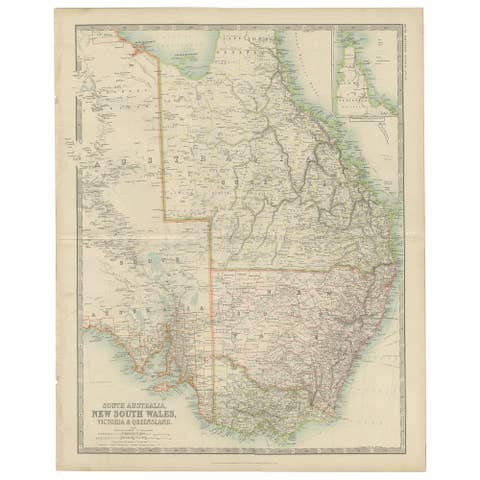
Antique Detailed Map of New South Wales, Queensland & Victoria, Australia, 1865
1865 · € 350
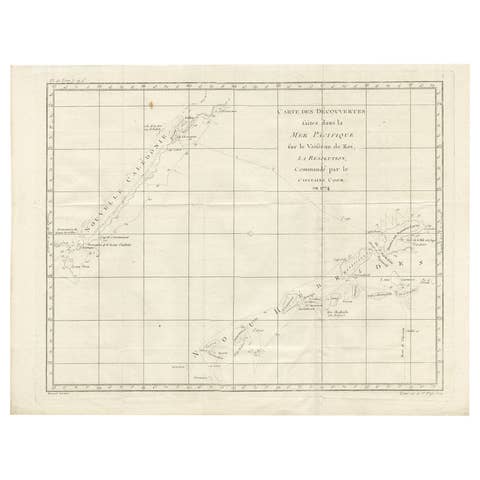
Antique Chart of the Voyage of Captain Cook by Benard, 1780
1780 · € 280
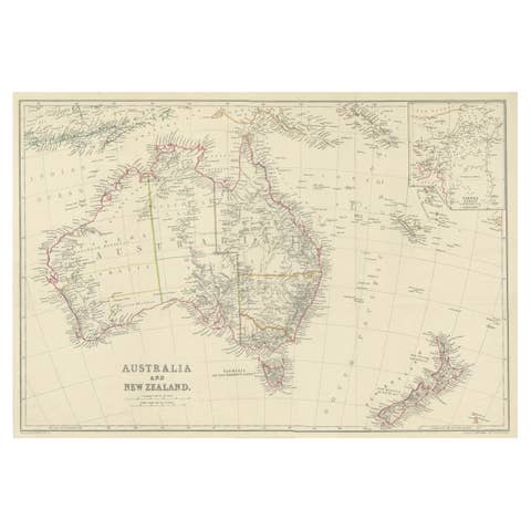
Antique Map of Australia and New Zealand, c.1860
1860 · € 140
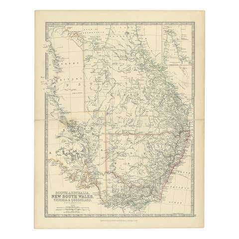
Antique Map of South Australia, Victoria, Queensland and New South Wales, c.1860
1860 · € 340
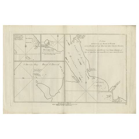
Antique Chart of York's Bay and Surroundings by Hawkesworth, 1774
1774 · € 280

Antique Map of Suffren Island by Cook, 1784
1784 · € 150
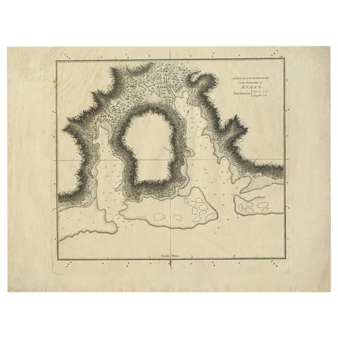
Antique Plan of the Harbour of Taloo by Cook, 1784
1784 · € 190
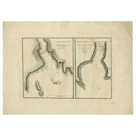
Antique Map of Port Pallisers & Kersmis by Cook, 1784
1784 · € 220
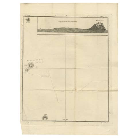
Antique Map of Suffren Island by Cook, c.1781
1781 · € 150
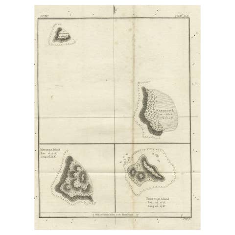
Old Map of the Cook Islands Takutea, Atiu, Mangaiac and Tubuai, Polynesia, 1781
1781 · € 130
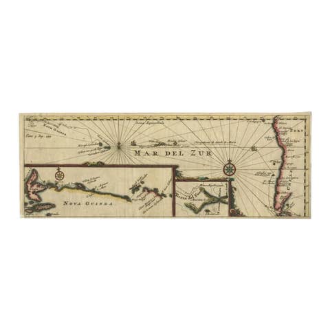
Antique Map of the Pacific Ocean by Renneville, 1725
1725 · € 450
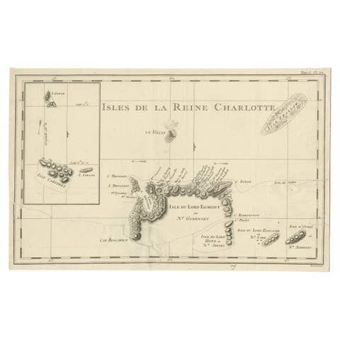
Antique Map of the Santa Cruz Islands with Inset of Carteret and Gower Islands
€ 300
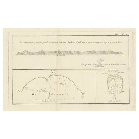
Antique Map of the Queen Charlotte Islands (Santa Cruz) Pacific – Carteret, 1774
1774 · € 279
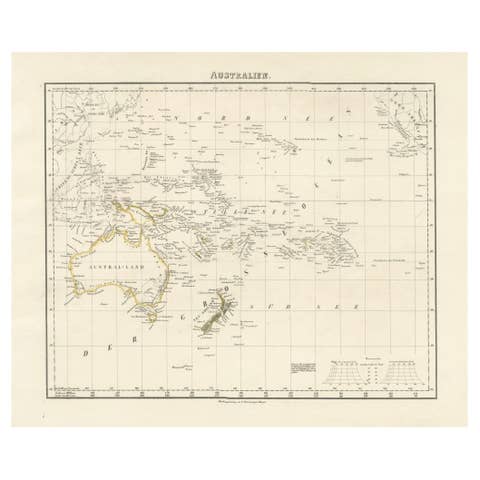
Mid-19th Century Map of Australasia by Carl Flemming - 1855
1855 · € 420
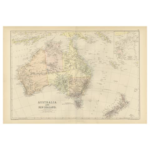
1882 Map of Australia and New Zealand with Regional and Geographical Features
1882 · € 250