About this sheet
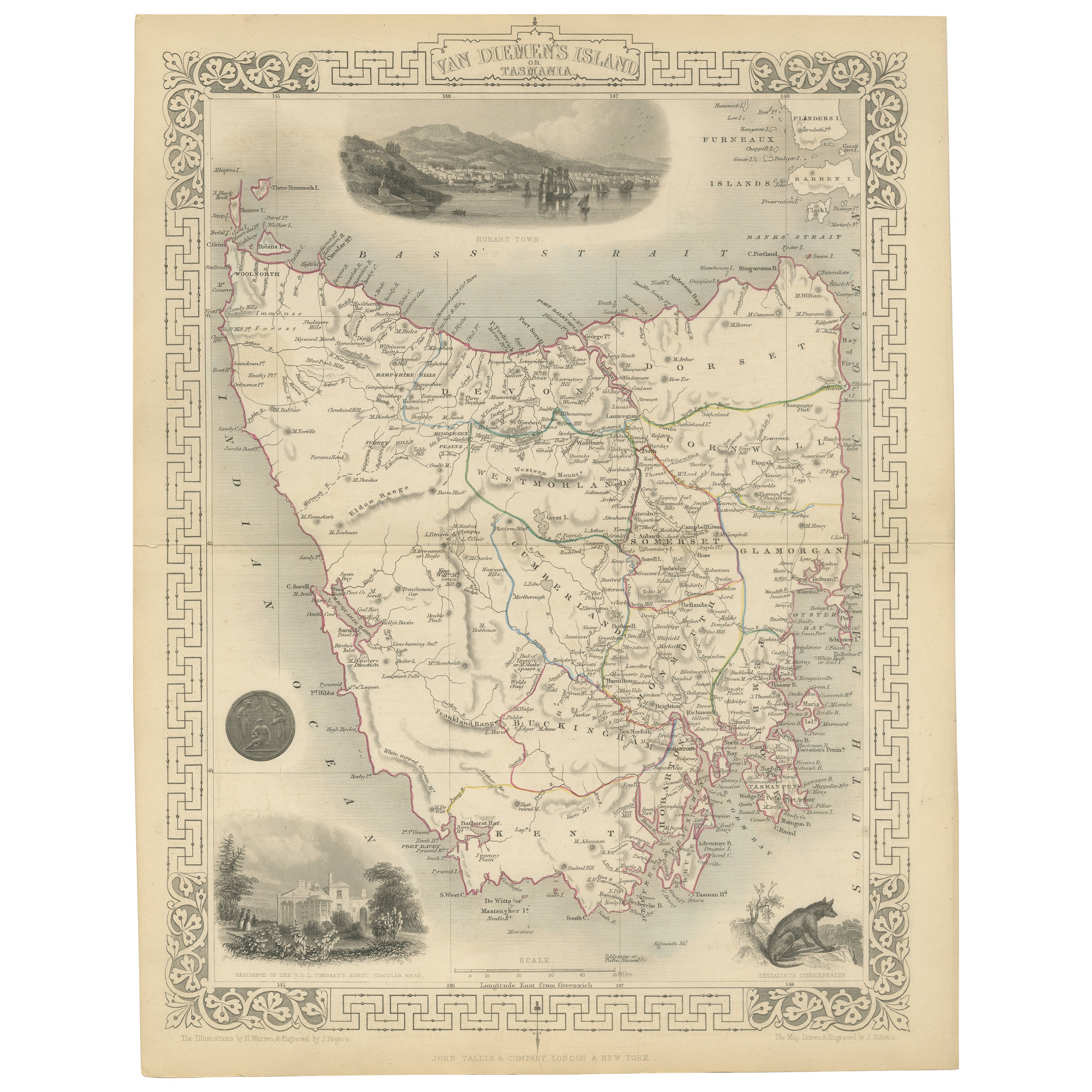
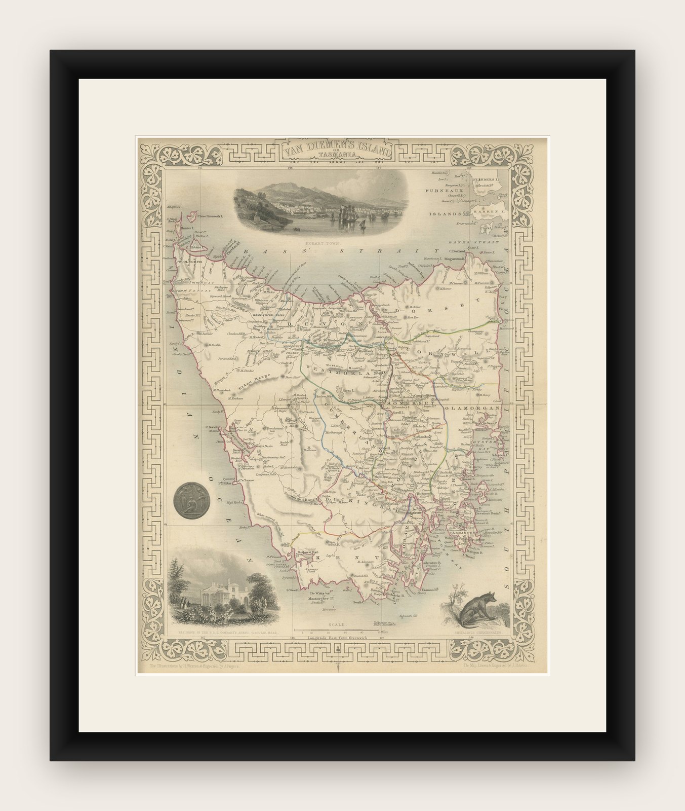
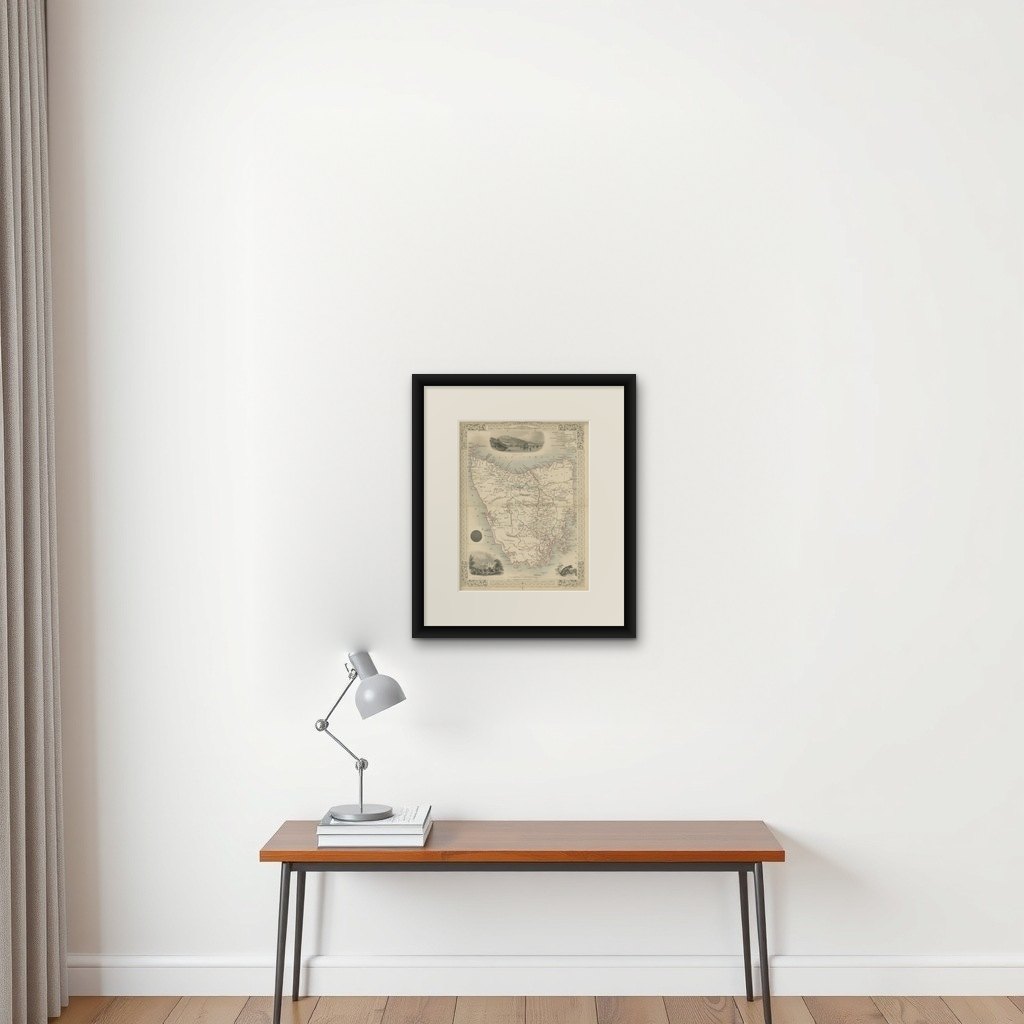
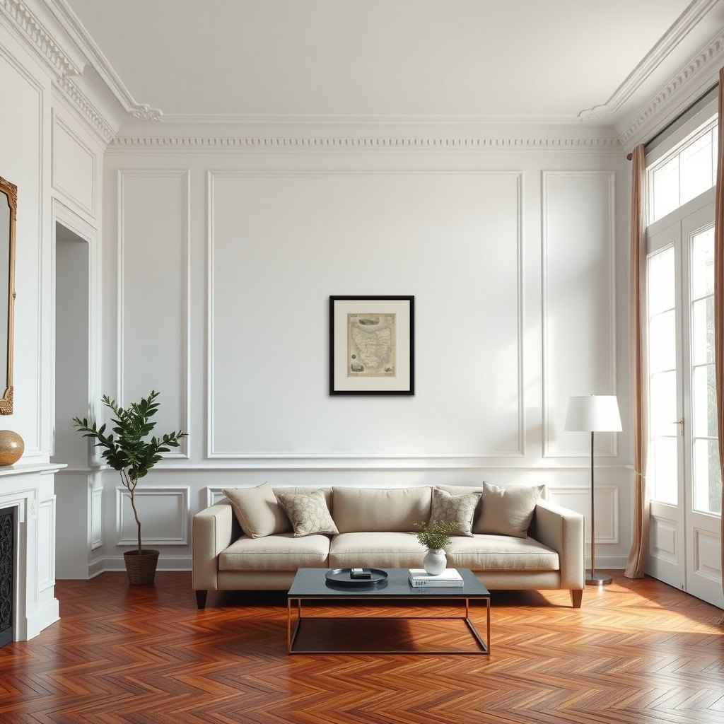
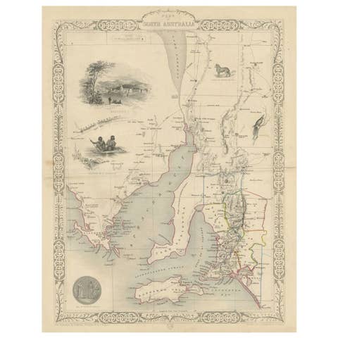
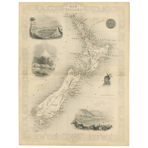
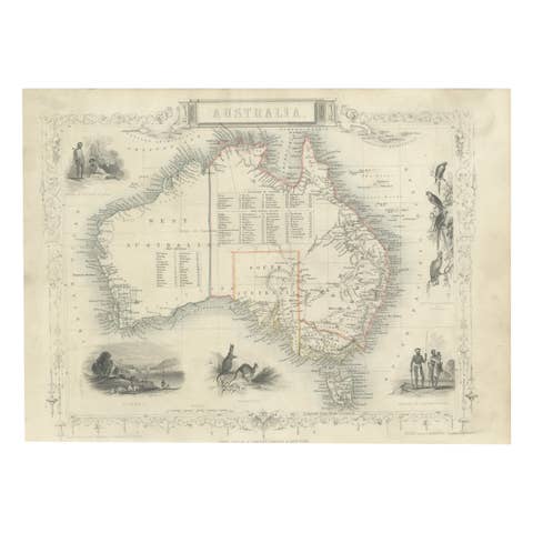
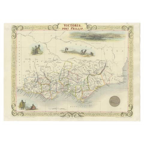
John Tallis & Company was renowned for their detailed and ornate maps during the 19th century. Their maps are distinguished by the intricate borders and vignettes that are as informative as they are decorative.
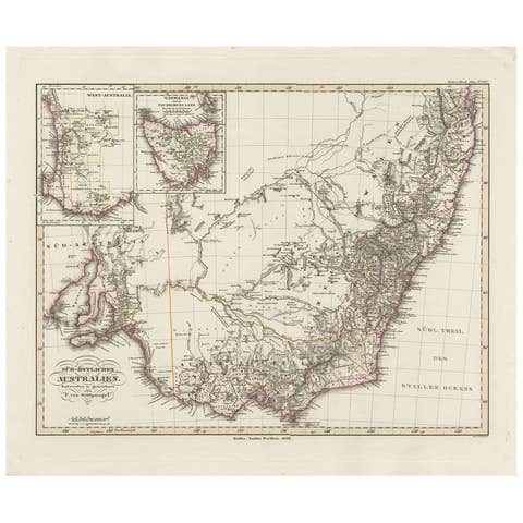
The map is of Tasmania, known at the time as Van Diemen's Land, which was a significant British colony. Tasmania was an important outpost of the British Empire, largely due to its use as a penal colony, its strategic location, and its natural resources.
Robert Montgomery Martin's texts accompanying such maps often provided detailed descriptions of the colonial economies, geography, and insights into the British perspective on these distant territories. His work was a reflection of the Victorian era’s interest in the empire and its desire to document and understand its distant lands.
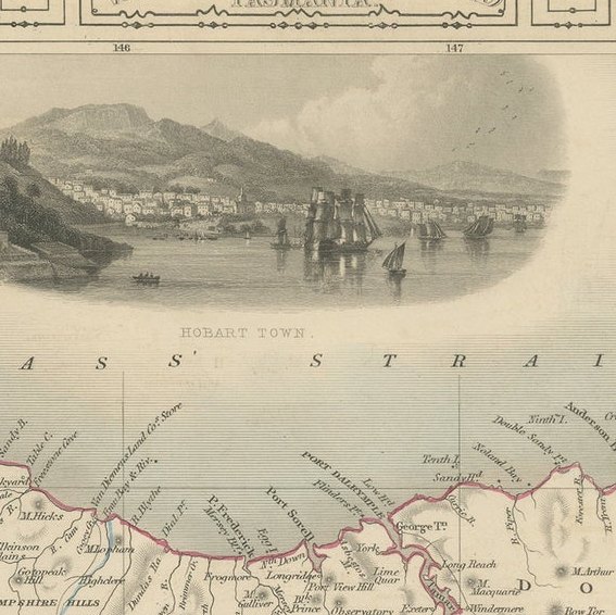
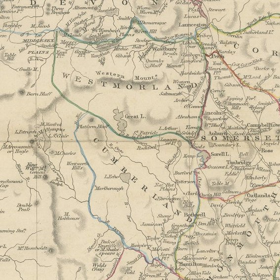
The countries and areas depicted in the Tallis series, like Tasmania, would be illustrated with great attention to detail. Key landmarks, topography, and regional borders would be carefully delineated. Insets on this map of Tasmania, for instance, may feature Hobart Town, which was a major administrative center, and might also include other significant locales or aspects of local interest such as fauna, flora, and important buildings.
The Tallis series serves as a visual record of the time, showcasing the British Empire’s reach and the period's aesthetic in map-making. These maps are now valuable historical documents, revealing how the British perceived and interacted with their colonies, and they are sought after for their combination of artistic merit and historical significance.
The images in more detail:
The images are detailed illustrations that complement the cartography of the Tallis map of Tasmania, providing a richer context of the island's features and colonial life:
1. Thylacinus cynocephalus: Also known as the Tasmanian tiger or thylacine, this image depicts the now-extinct carnivorous marsupial that was native to Tasmania. It is shown in a naturalistic pose, possibly on a rock or hill, set against a backdrop of sparse vegetation, symbolizing its existence in the wild Tasmanian landscape.
2. Residence of the V.D.L. Company's Agent, Circular Head: This vignette illustrates a stately residence, likely belonging to an agent of the Van Diemen's Land Company, a powerful agricultural company. The image shows a grand home surrounded by gardens, indicating the wealth and influence of the company within the colony. People are depicted strolling near the residence, suggesting a tranquil life away from the mainland's bustle.
3. Hobart Town: This illustration likely captures the early colonial period of Hobart, the capital city of Tasmania. It presents a view of the city from the water, showcasing the town's port with ships anchored in the bay, Mount Wellington in the background, and the city's buildings spreading out from the waterfront, indicating its status as a bustling port and administrative center.
These images serve not only as aesthetic enhancements to the map but also provide insights into the natural history and colonial development of Tasmania during the 19th century.