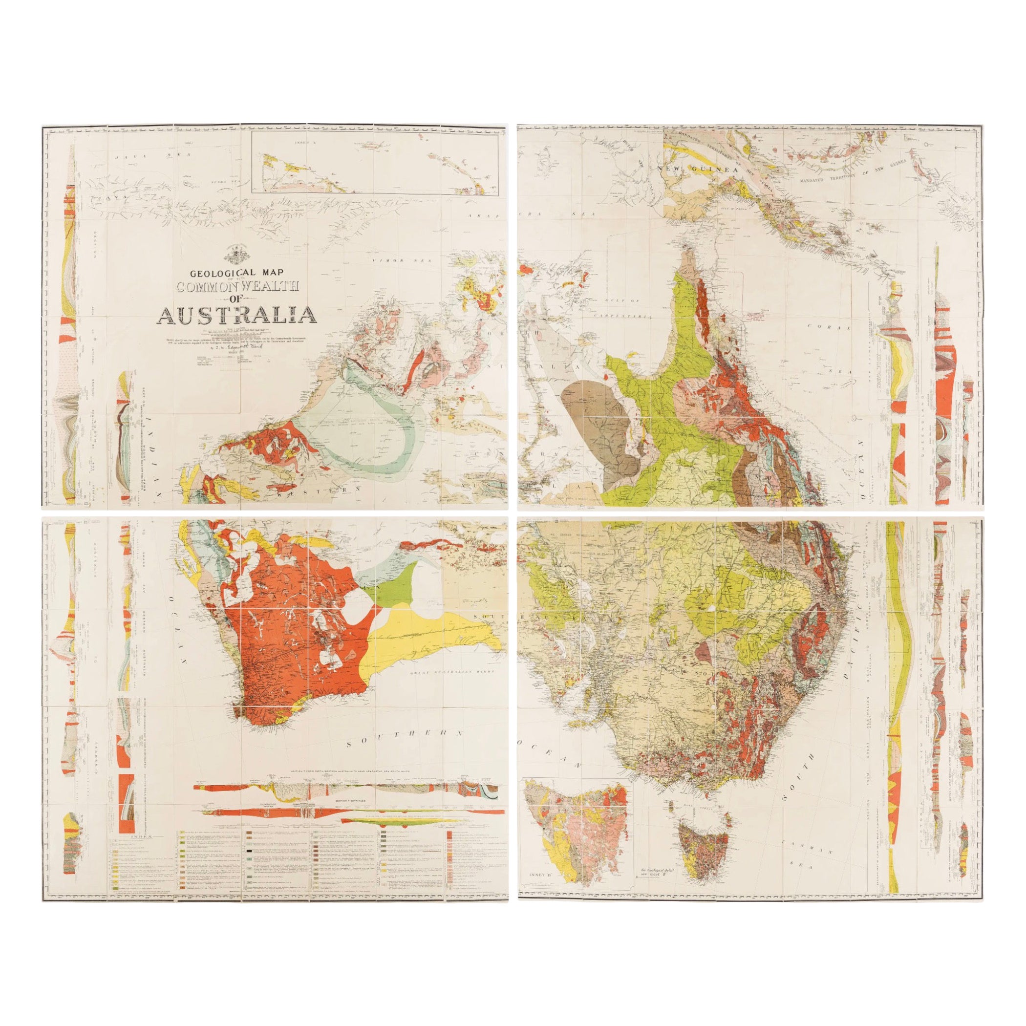
Impressive Geological Map of Australia – Rare Oversized Wall Display, 1931–32
€ 4 750
Original antique · The actual sheet photographed · Certificate of authenticity on request · Sold unframed · Worldwide shipping from € 15 (rates)
Date
1931
Mapmaker / artist
Sir Tannatt William Edgeworth David, Sydney, 1931–1932
Technique
Color-printed geological map, linen-backed; letterpress volume with plates and folding tables
Sheet size
165.5 × 202 cm (65.2 × 79.5 in)
Condition
Good
Reference
BG-12922
What the condition grades mean
Excellent
Bright and clean, with no faults worth mentioning.
Very good
Only light signs of age, such as faint toning.
Good
Normal signs of age for a sheet of this period: toning, some foxing, small marks or neat old repairs.
Fair
Clear faults such as staining, tears or repairs, priced to match.
Every fault we see is written in the condition note, and the whole sheet is shown uncropped in the photos.
Condition
Map in four large linen-backed sections, minor foxing, original cloth box worn and stained.
About this sheet
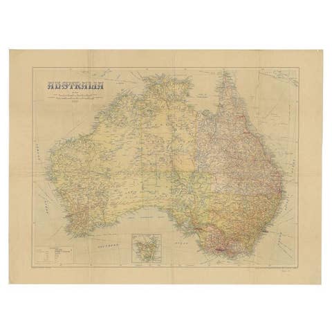
Geological Map of the Commonwealth of Australia by Sir Edgeworth David, 1931–32
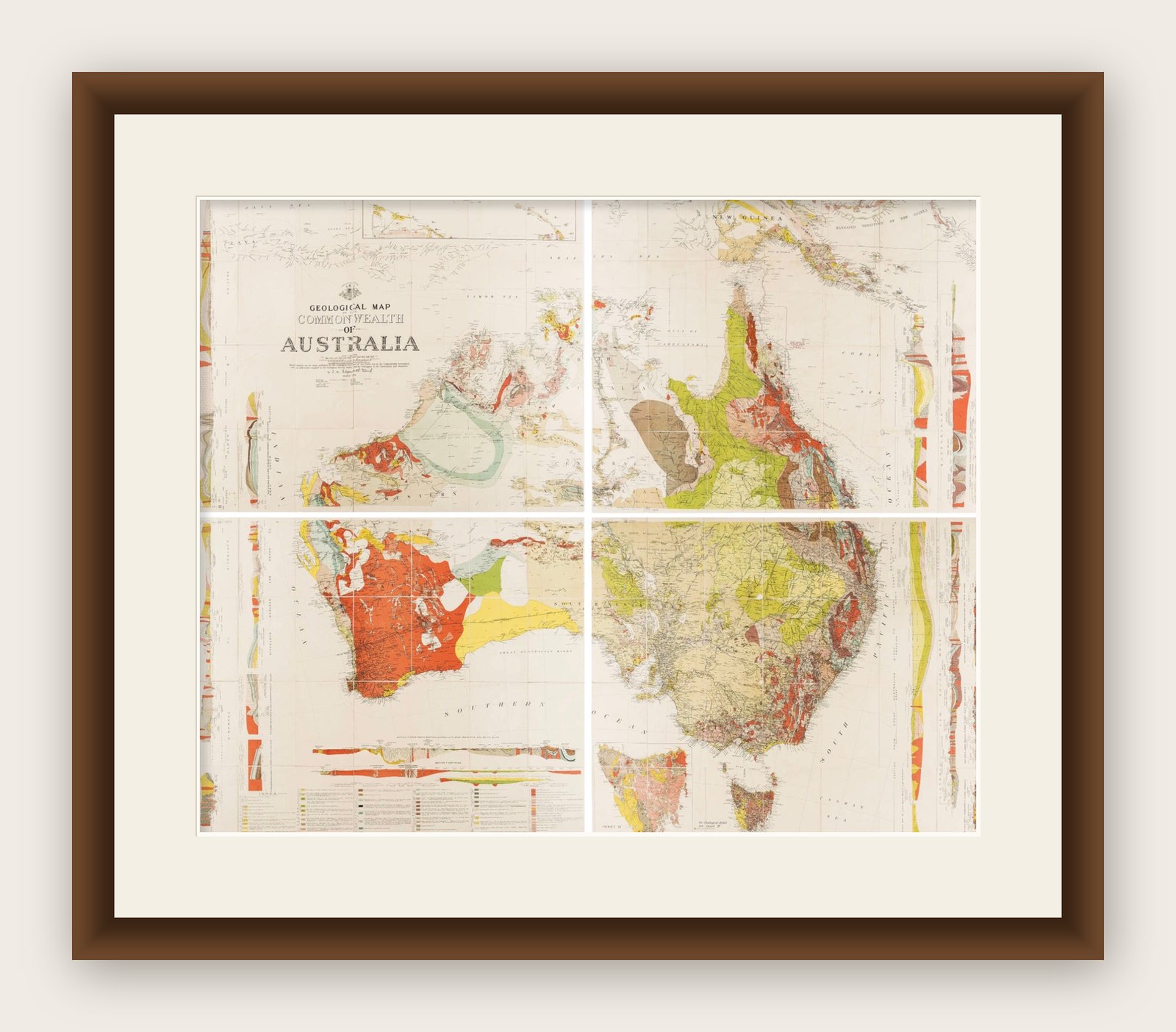
Large and highly detailed geological map of the Commonwealth of Australia, compiled under the direction of Sir Tannatt William Edgeworth David (1858–1934), one of the leading geologists of his time. Issued in 1931, this impressive map is printed in vivid colors to illustrate the geological structure of the continent. It is presented in four large sections, each linen-backed for durability, which together measure approximately 165.6 × 202.0 cm (65 × 79.5 inches). When folded, the sheets reduce to a convenient 19.6 × 13.6 cm and are housed in the original cloth slipcase (21.5 × 15.0 cm). The map is sold as a folding map and NOT in a frame!
The map is accompanied by the official explanatory notes, published in Sydney in 1932, which provide additional plates, folding illustrations, and tables clarifying the geological data. Edgeworth David was a pioneering geologist whose work was instrumental in mapping Australia’s mineral and structural resources. This map represents one of the most comprehensive geological surveys of the period, produced when Australia was seeking to develop and promote its natural resources in the interwar years.
The set is housed in the original publisher’s cloth box, showing expected age wear, while the map itself retains strong coloring with only minor foxing. The explanatory volume bears institutional stamps and signs of withdrawal but remains complete and solid. Together, the map and volume form a significant resource for the history of science, cartography, and Australia’s geological exploration.
Unframed map in four large linen-backed sections, minor foxing, original cloth box worn and stained. Explanatory notes volume rubbed and faded, with library stamps, but complete.