About this sheet
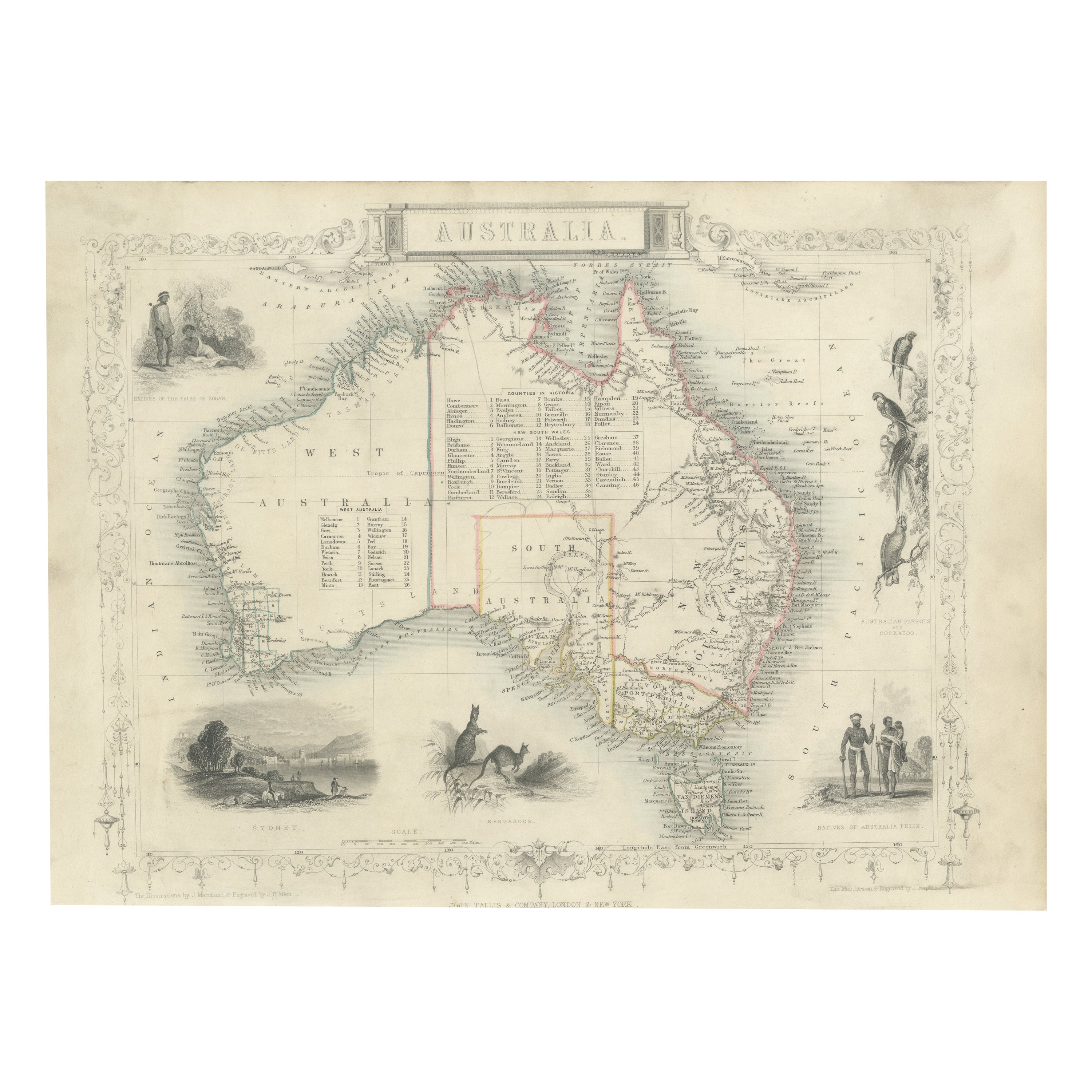
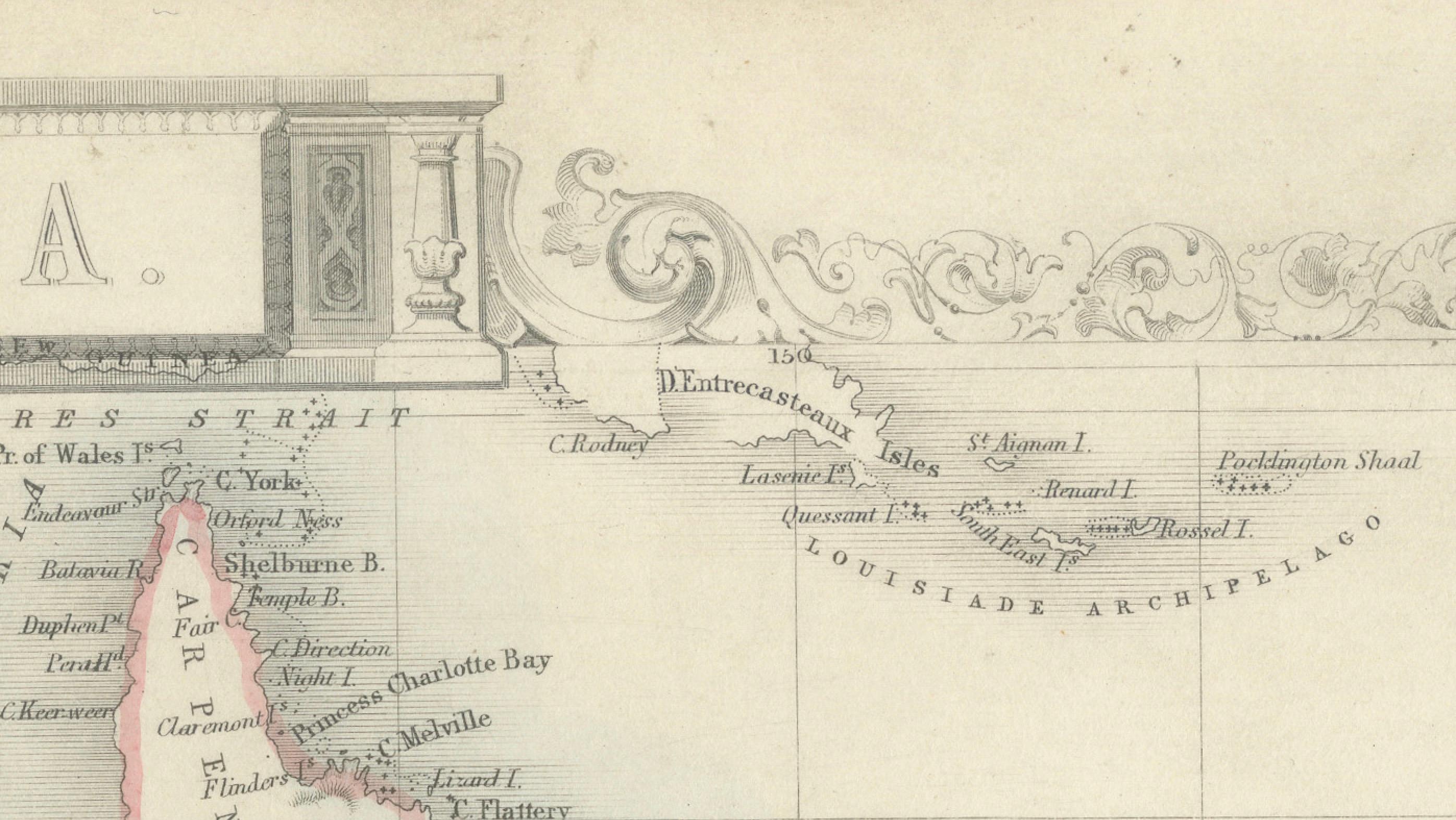
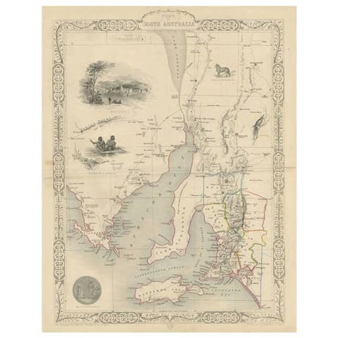
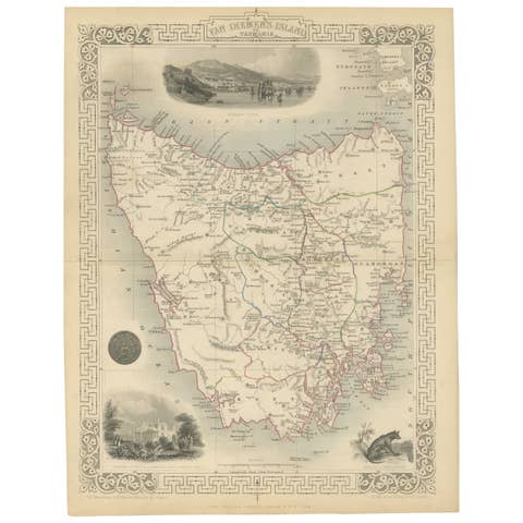
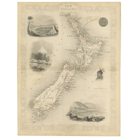
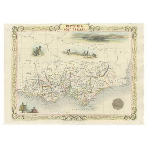
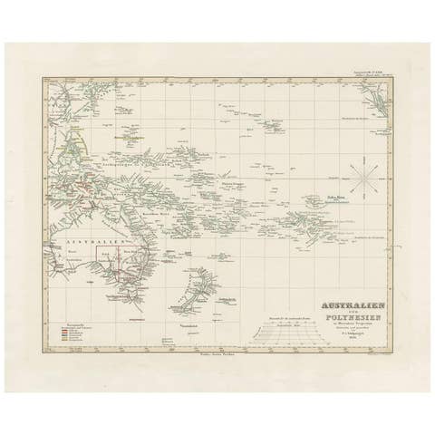
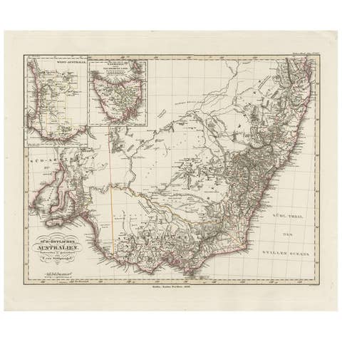
The image is an original historical map of Australia from the year 1851, created by John Rapkin with illustrations by J. Marchant and engravings by J. B. Allen. The map was published by John Tallis & Company, which was one of the most renowned cartographic publishing firms in the 19th century.
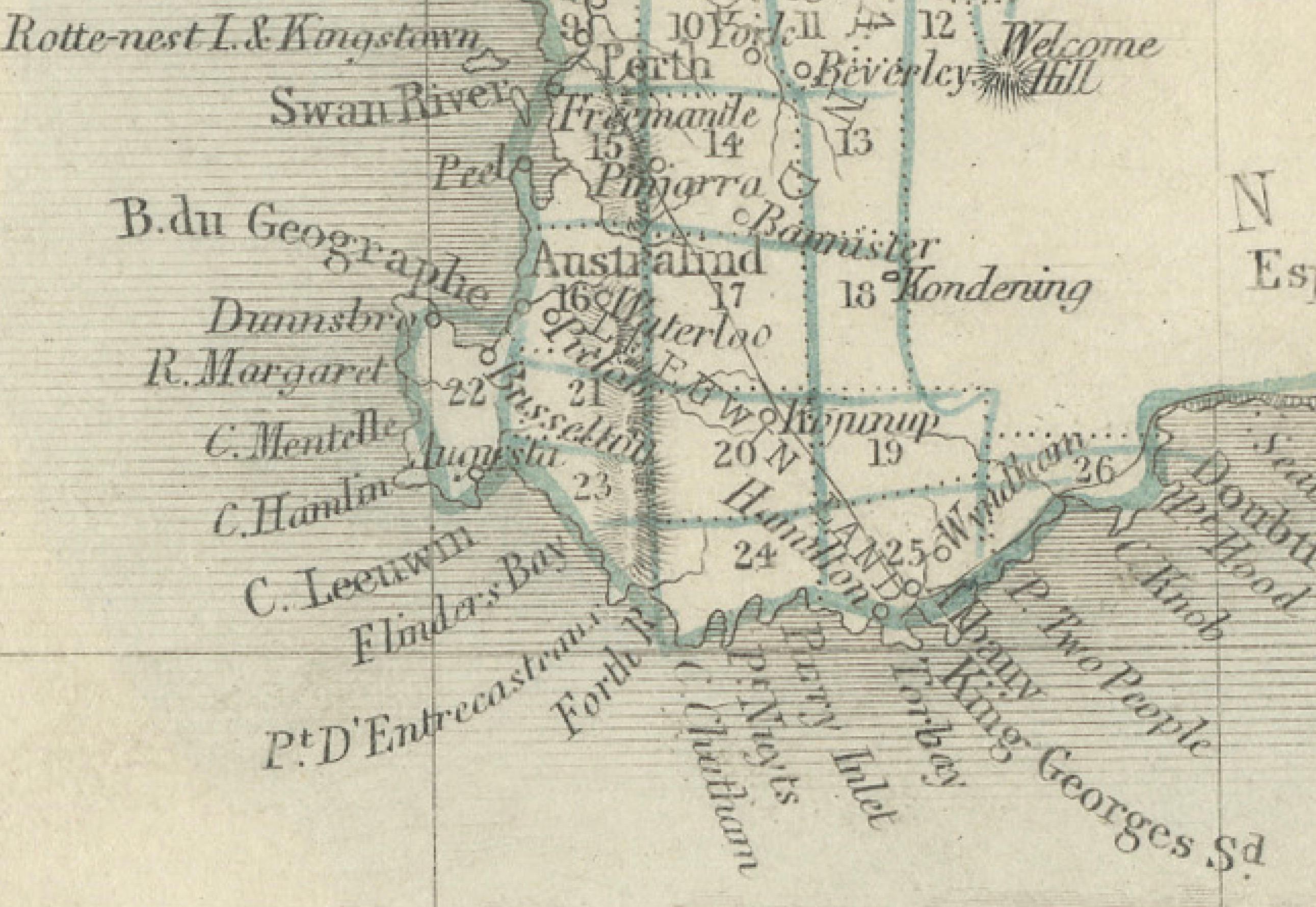
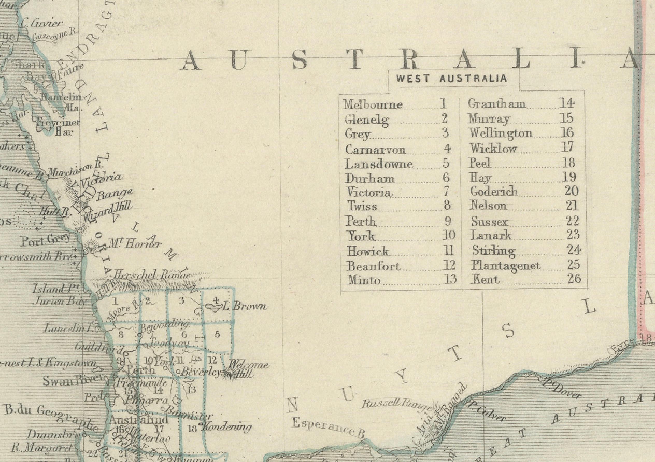
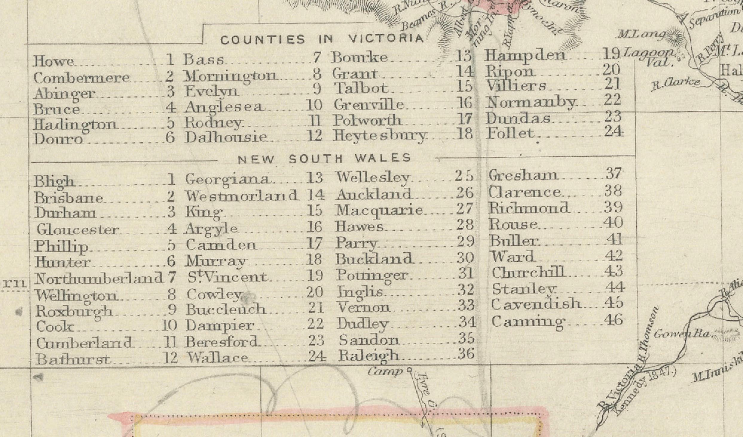
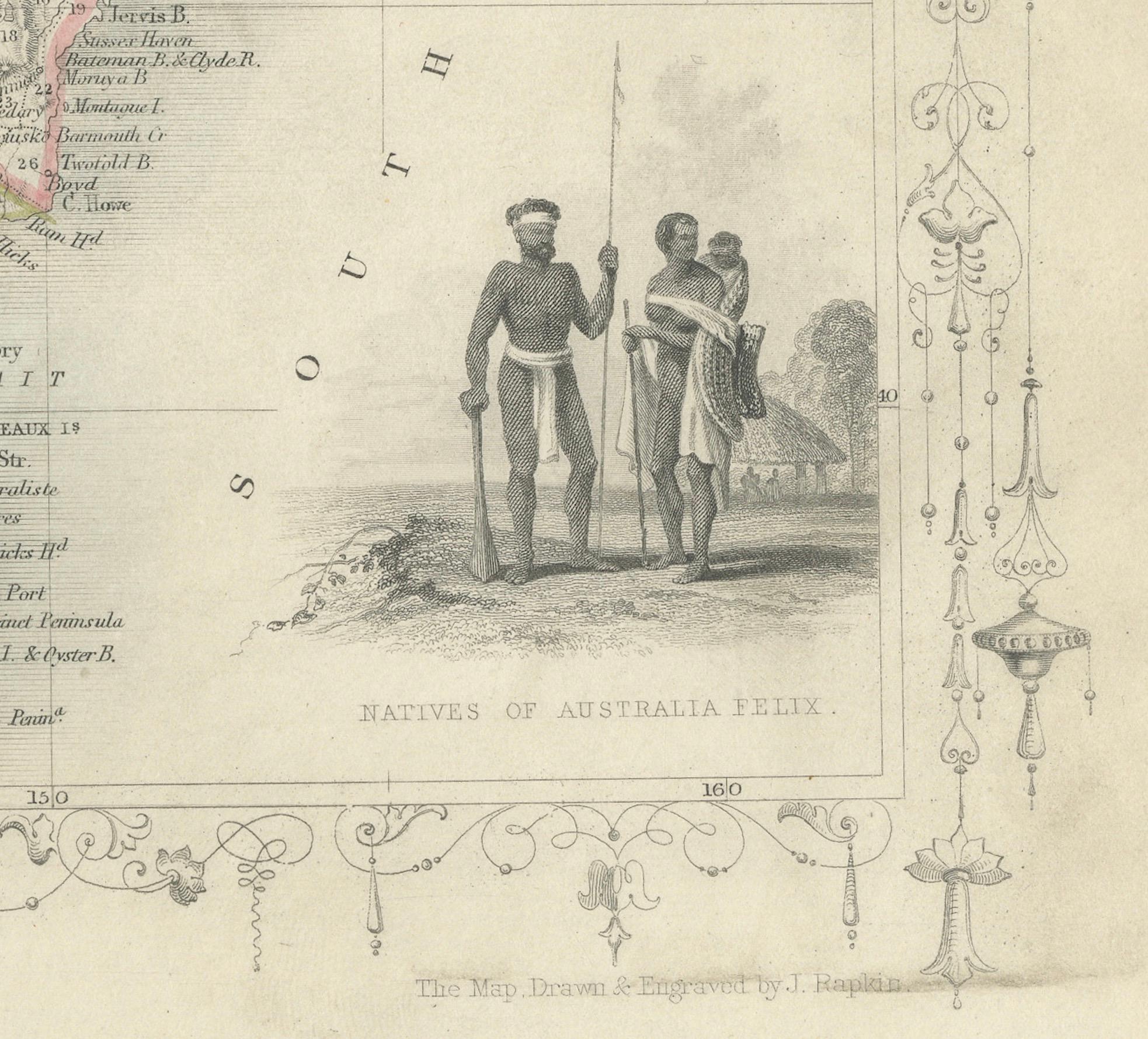
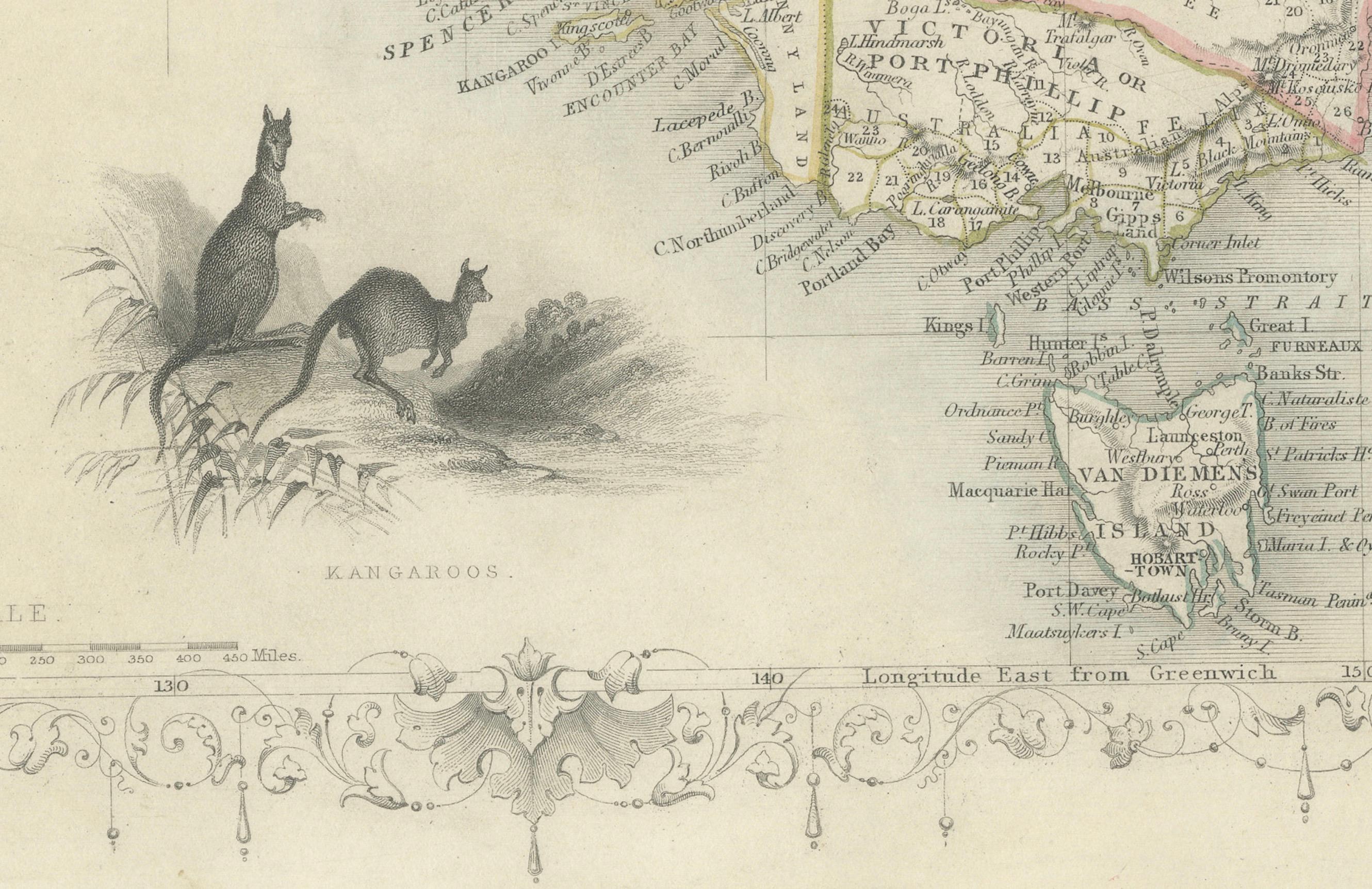
An attractive steel engraved map of the continent with good detail along the coastlines that contrasts dramatically with the complete lack of detail in the interior. Tallis filled the blank interior with tables listing county names. The surrounding vignettes include Natives of the Tribe of Bogan, Australian Parrots and Cockatoo, Natives of Australia Felix, Kangaroos, and Sydney.
Here are some key descriptions and interesting facts about the map:
1. **Age and Rarity**: The map dates back to 1851, which is a significant period for Australia as it was just a few years after the discovery of gold in 1851. This would make it a valuable collector's item due to its historical context.
2. **Absence of Queensland**: Notably, the map does not include Queensland, which indicates it was created before Queensland was established as a separate colony in 1859. This highlights the evolving political boundaries of Australia during the 19th century.
3. **Goldfields Marked**: The map shows the locations of goldfields, which is particularly interesting since the 1850s was the decade of the Australian gold rushes. This detail would have been of immense practical importance at the time and now serves as a historical record of the early economic drivers in the region.
4. **Illustrations**: The map features illustrations by J. Marchant, which likely depict scenes typical of the era, such as local wildlife like kangaroos, and cultural images, such as depictions of Indigenous Australians.
5. **Engravings**: The engravings by J. B. Allen add a layer of craftsmanship to the map, making it not just a navigational tool but also a piece of art.
6. **Publisher's Prestige**: John Tallis & Company was known for their detailed and decorative maps, which often included vignettes and ornamental borders. Their work is well-regarded by map collectors and historians.
7. **Artistry and Accuracy**: The combination of accurate cartographic information and artistic embellishments make this map an exemplary piece from the mid-19th century.
This title highlights the map's historical significance related to the Gold Rush, the absence of Queensland, the prestigious creators, and its status as a collectible item. It would likely attract collectors interested in unique historical documents, maps, and Australian history.