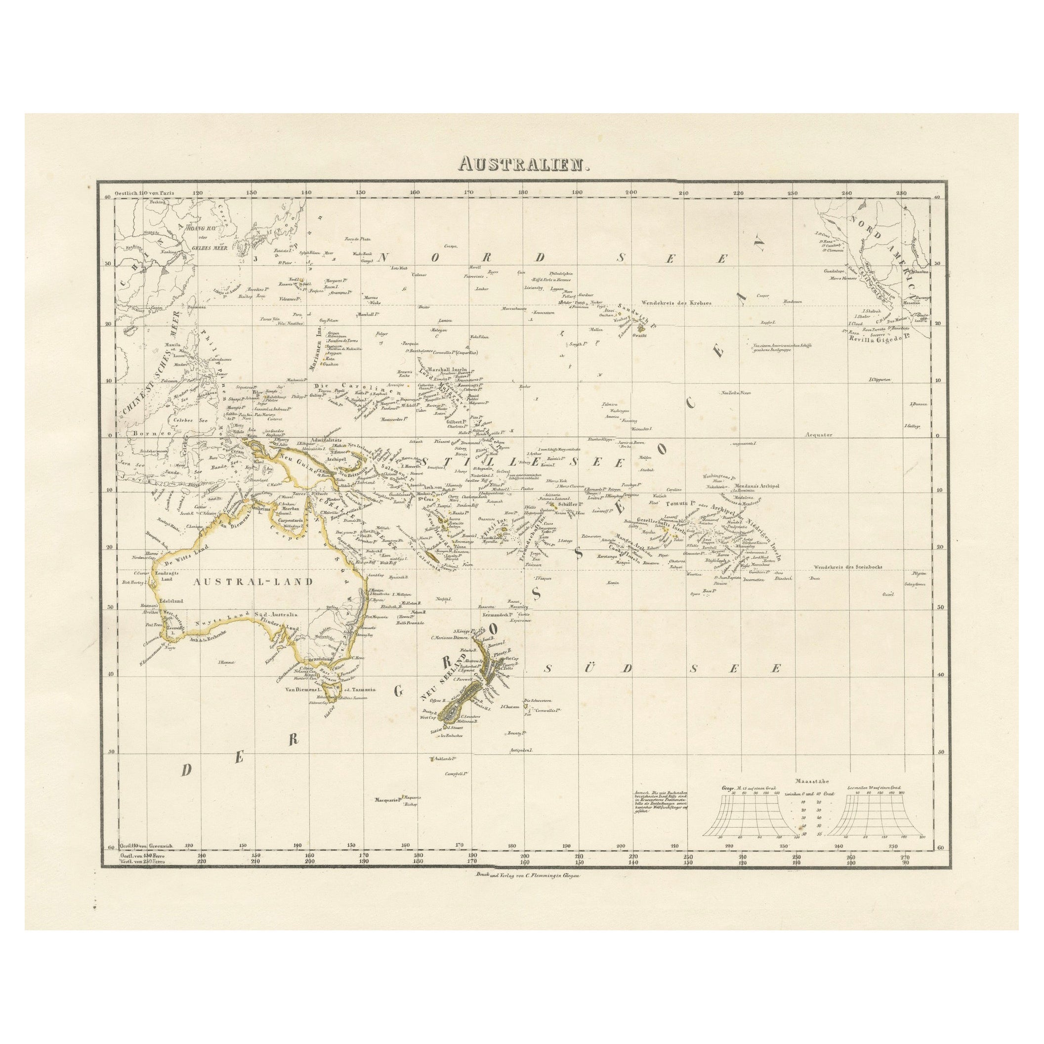
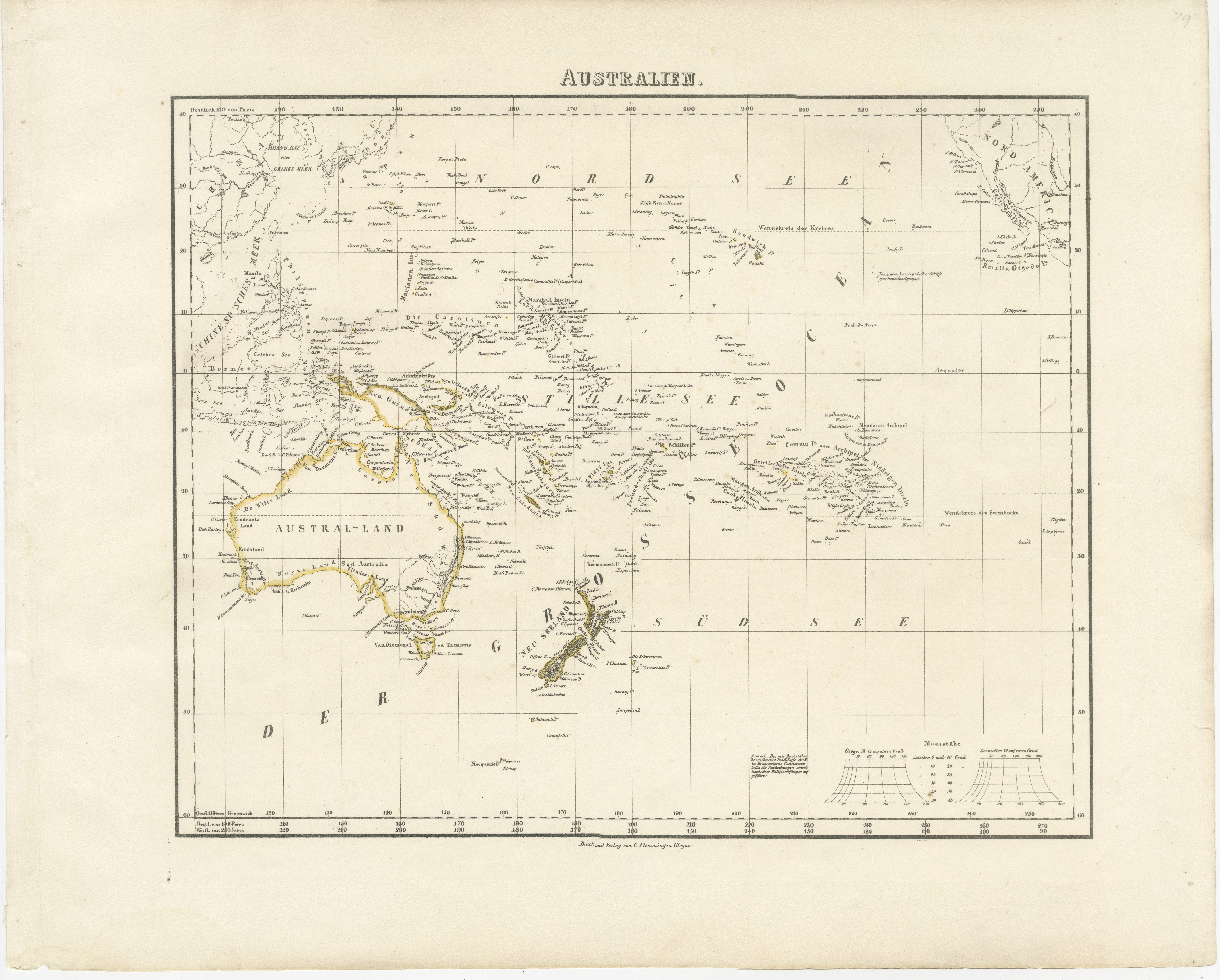
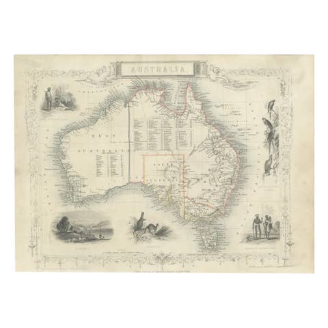
Mid-19th Century Map of Australasia by Carl Flemming - 1855
€ 420
One of a kind: this is the sheet in the photographs. Ships from Langweer, the Netherlands.
Date
1855
Sheet size
35.7 × 44.5 cm (14.1 × 17.5 in)
Condition
Good
Reference
BG-13700-2
Condition
Very good. General age-related toning and/or occasional minor defects from handling. Please study scan carefully.
About this sheet
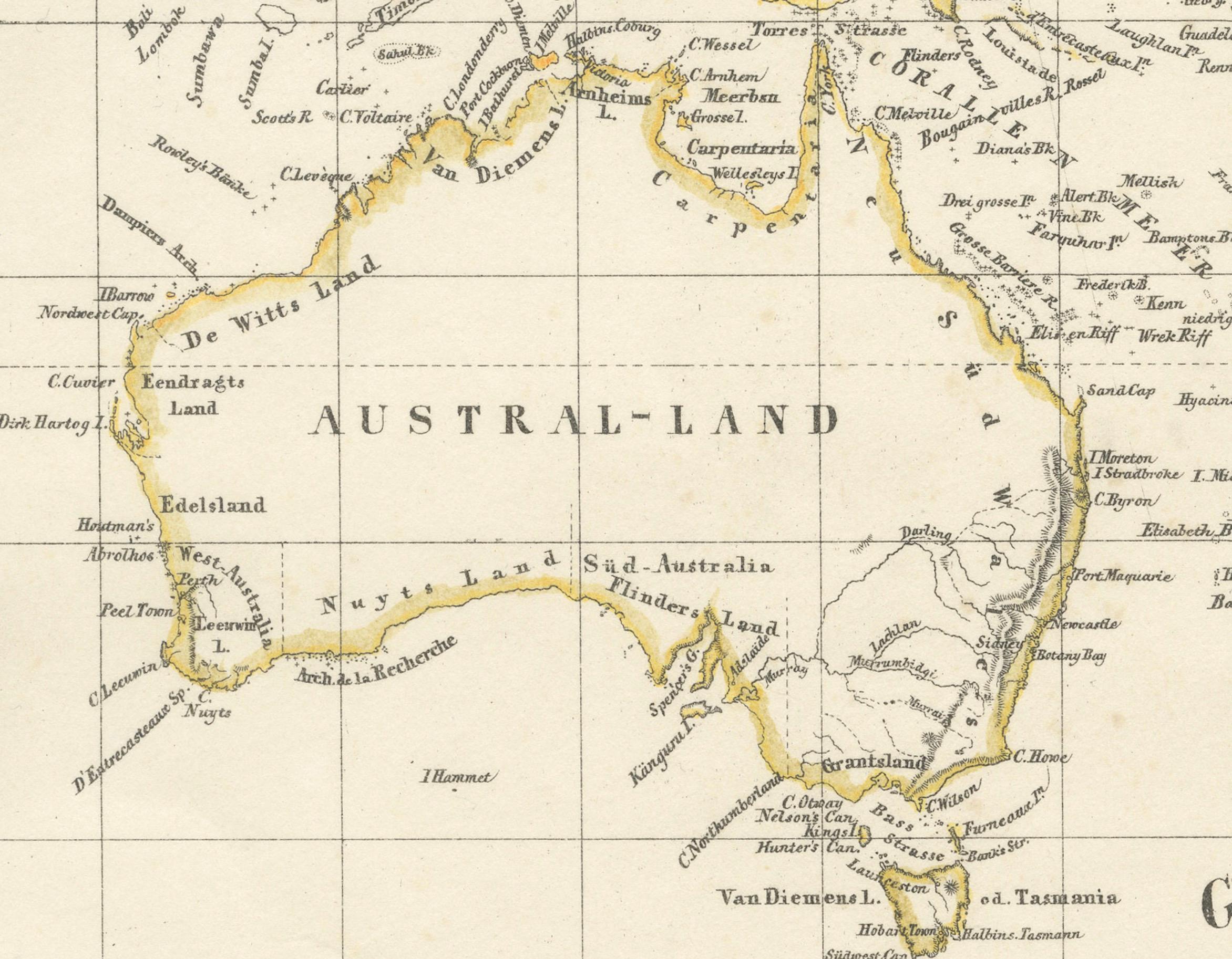
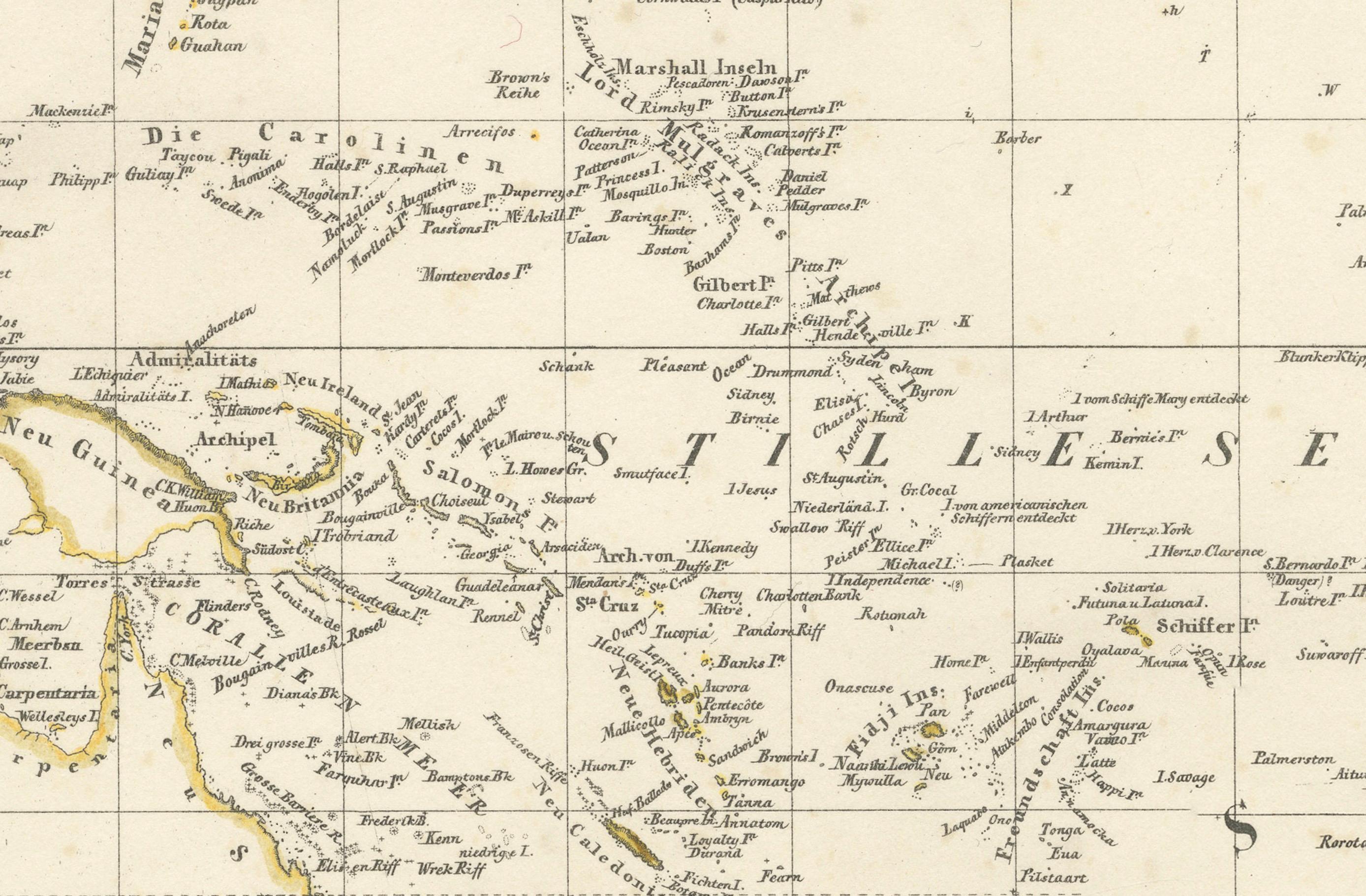
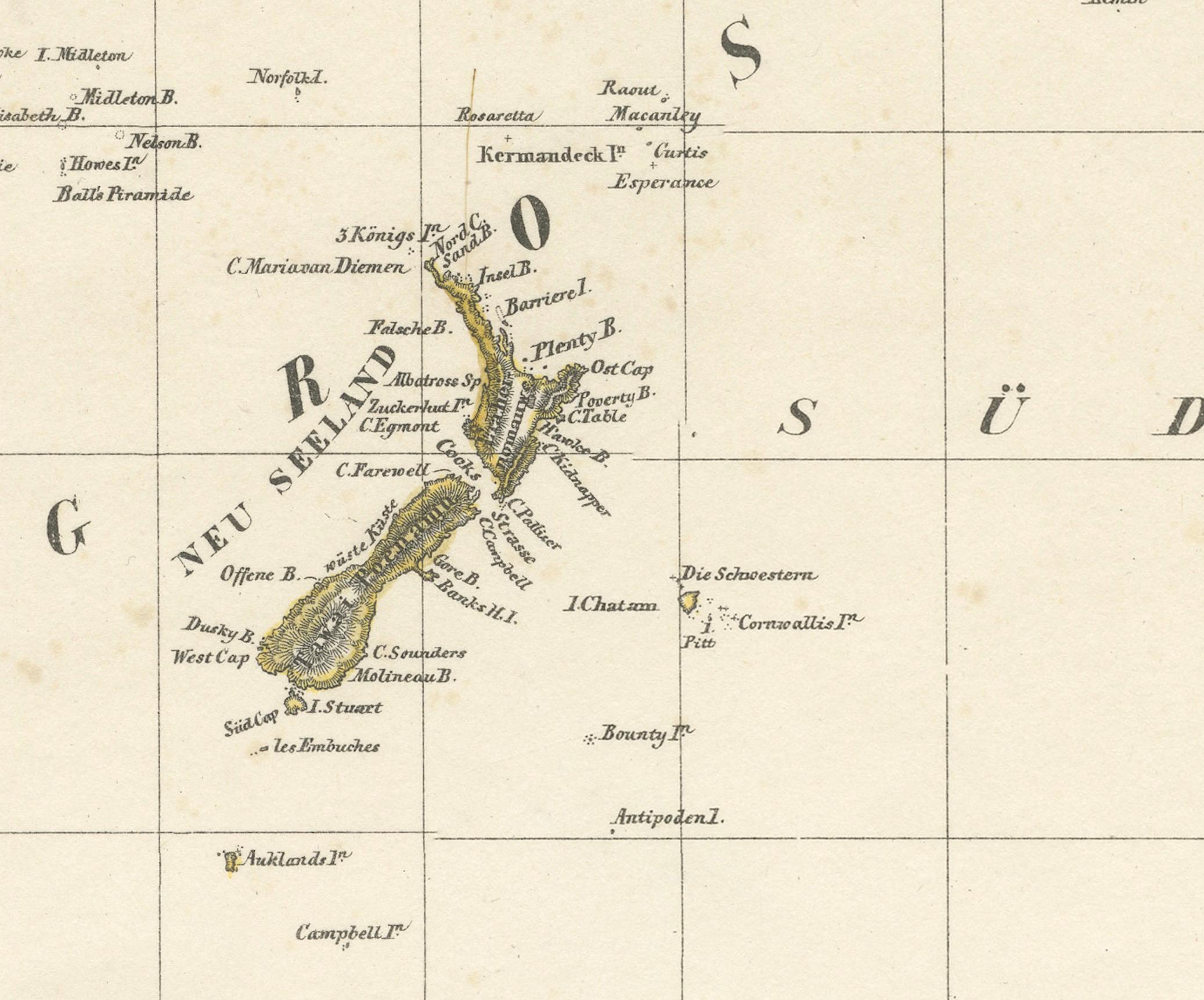
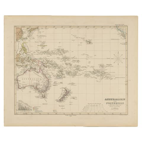
This original 1855 antique map from the Sohr-Berghaus Atlas, created by Carl Flemming, is a detailed cartographic representation of Australasia, encompassing Australia, New Zealand, parts of Indonesia and Polynesia, as well as the broader Pacific Ocean. The map is annotated in German, with "Australië" indicating the focus on the Australian continent, which is depicted with its major geographical features, including mountain ranges, rivers, and regional boundaries.
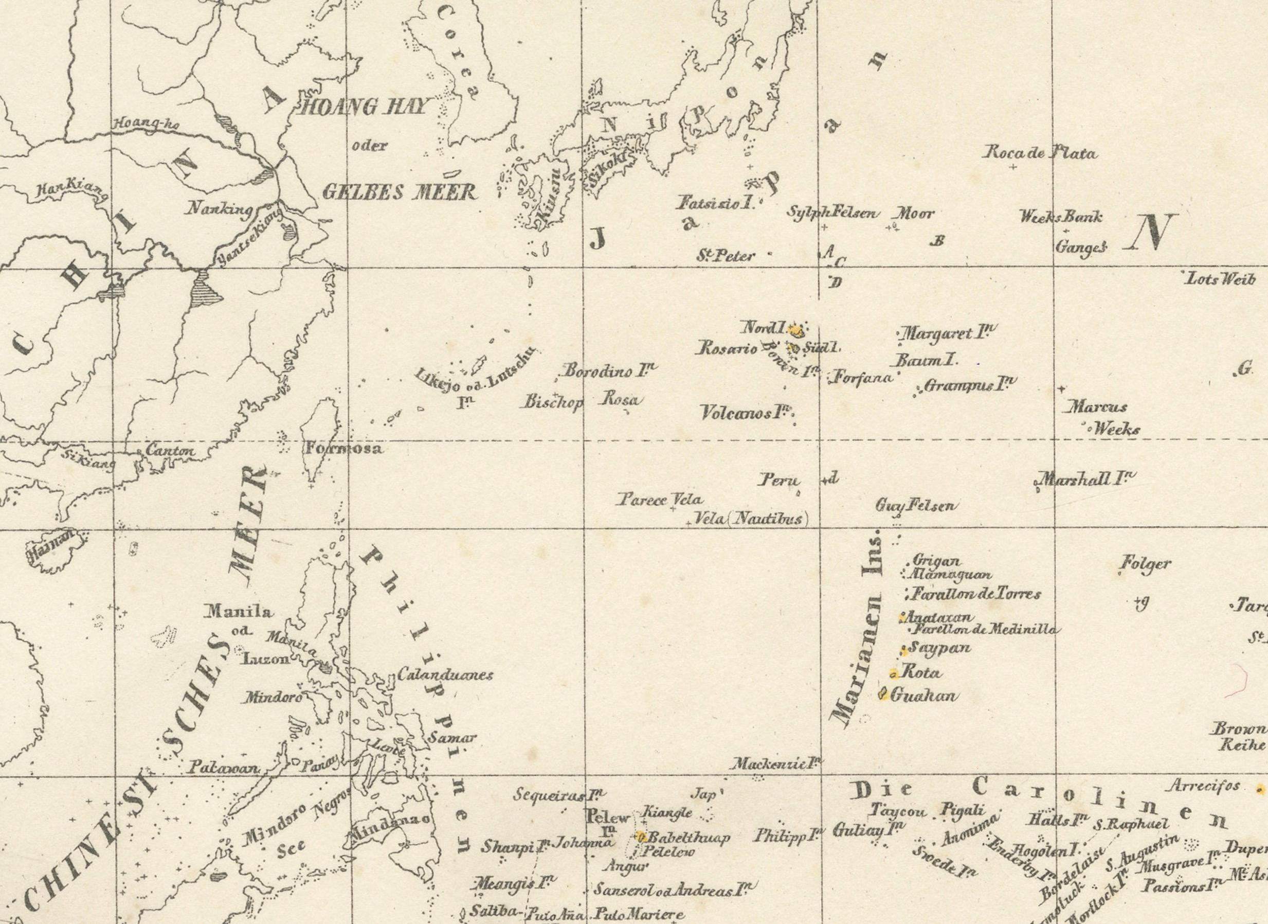
Australia is centrally highlighted, with "AUSTRAL-LAND" boldly marked, showing the territories as they were known in the mid-19th century. The map's detail extends to the surrounding regions, noting significant islands, the expanse of the Pacific Ocean, and parts of the East Indies and the Far East, including China.
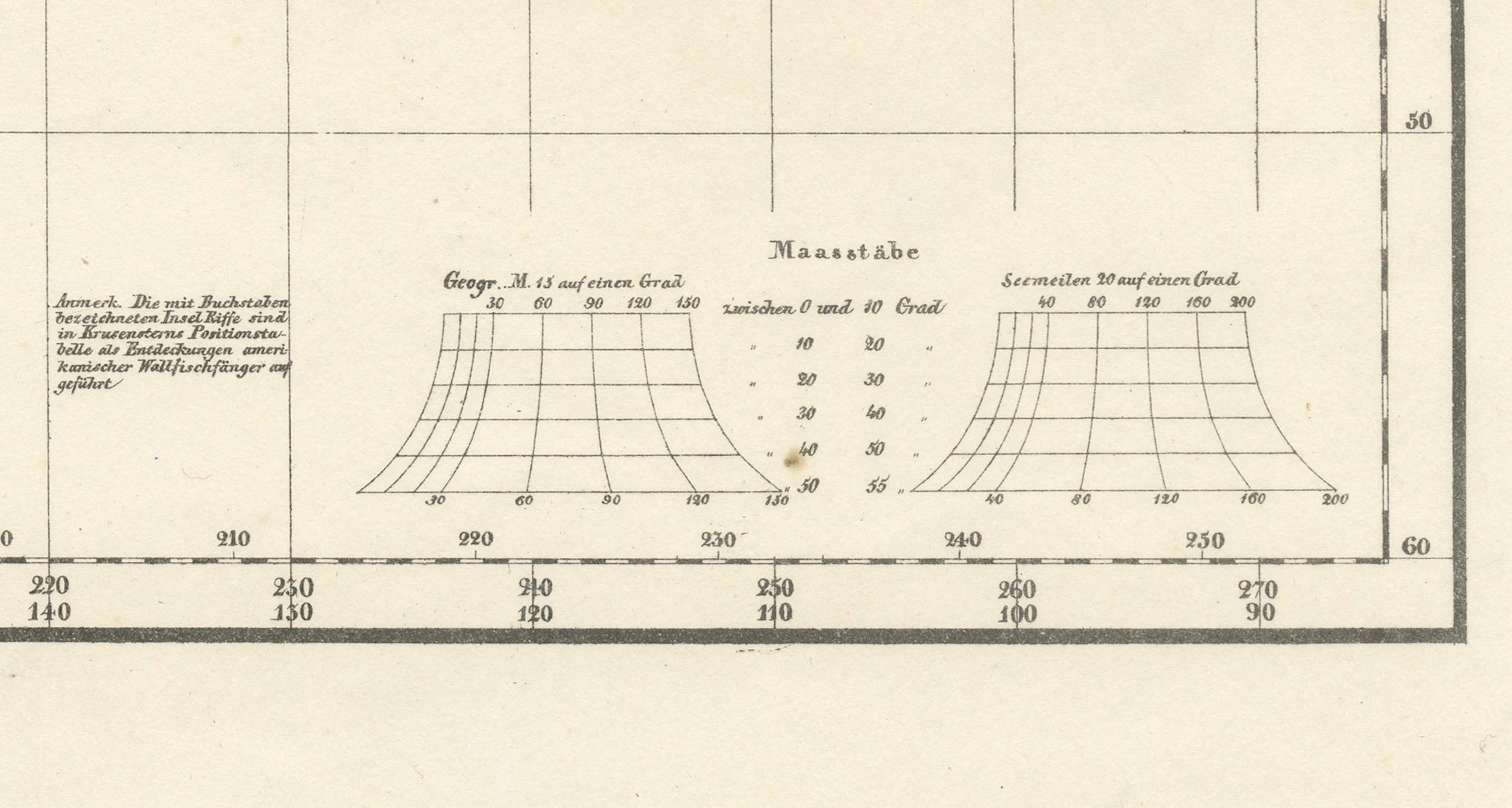
At the bottom, the map includes meticulously crafted diagrams and charts. These likely represent the comparative lengths of rivers and mountain elevations, common inclusions for maps of this era to provide additional context and understanding of the region's topography.
The map's historical value is notable, as it would have been used for educational purposes and by those with interests in geography, navigation, and colonial activities during that time. It serves as a historical snapshot, capturing the state of geographical knowledge and territorial understanding of Australasia in the 1850s.