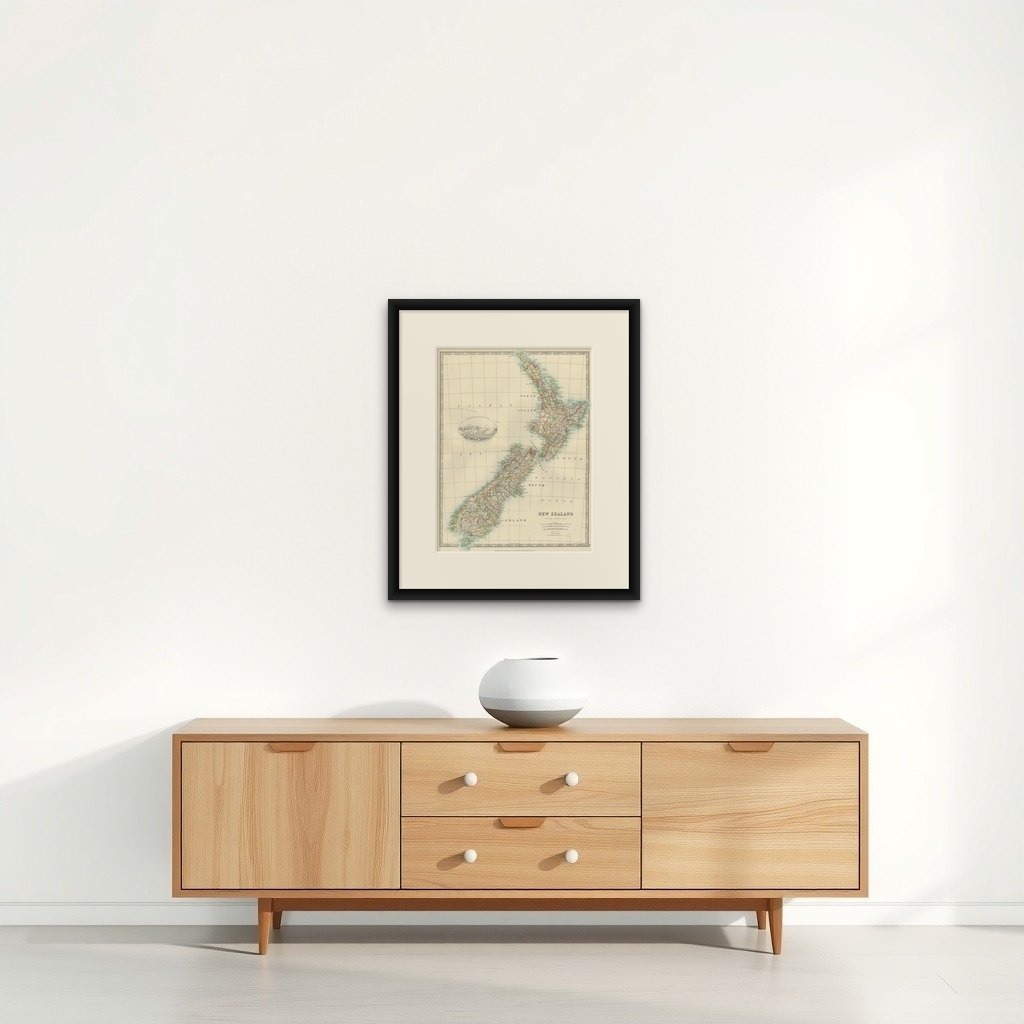
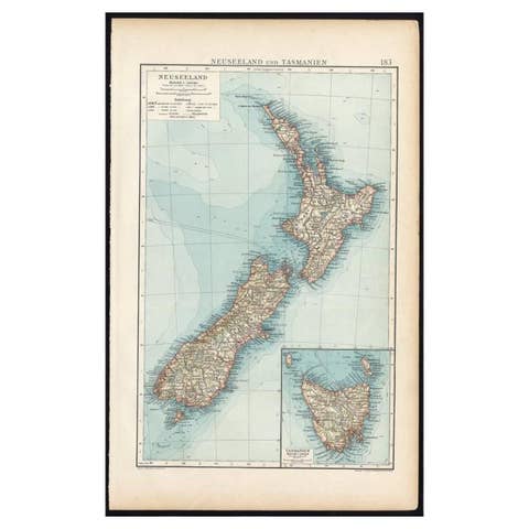
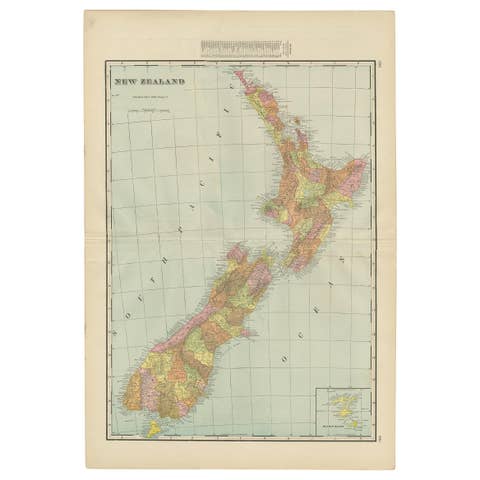
Antique Map of New Zealand, 1903, Featuring the North and South Islands and Alps
€ 320
Original antique · The actual sheet photographed · Certificate of authenticity on request · Sold unframed · Worldwide shipping from € 15 (rates)
Date
1903
Sheet size
47 × 36.8 cm (18.5 × 14.5 in)
Condition
Good
Reference
BG-13577-34
What the condition grades mean
Excellent
Bright and clean, with no faults worth mentioning.
Very good
Only light signs of age, such as faint toning.
Good
Normal signs of age for a sheet of this period: toning, some foxing, small marks or neat old repairs.
Fair
Clear faults such as staining, tears or repairs, priced to match.
Every fault we see is written in the condition note, and the whole sheet is shown uncropped in the photos.
Condition
This map is in very good antique condition, with minor foxing and gentle toning along the edges, typical for its age. The colors remain vibrant and the paper is stable and well-preserved. Folding line as issued.
About this sheet
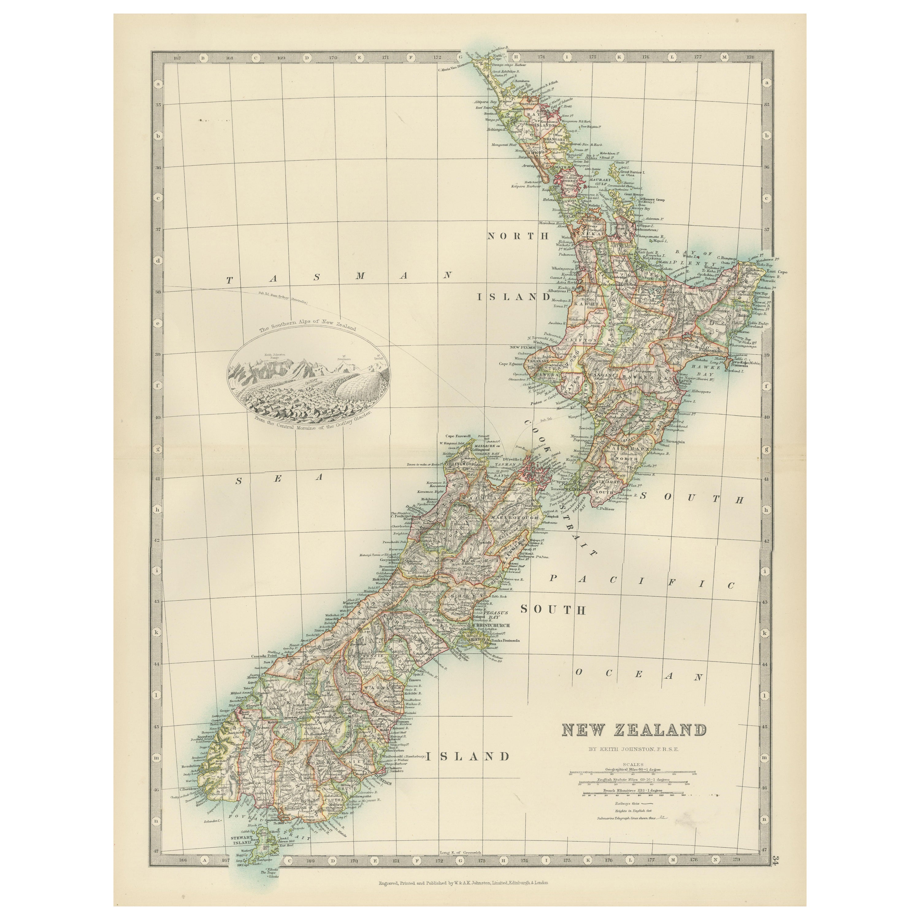
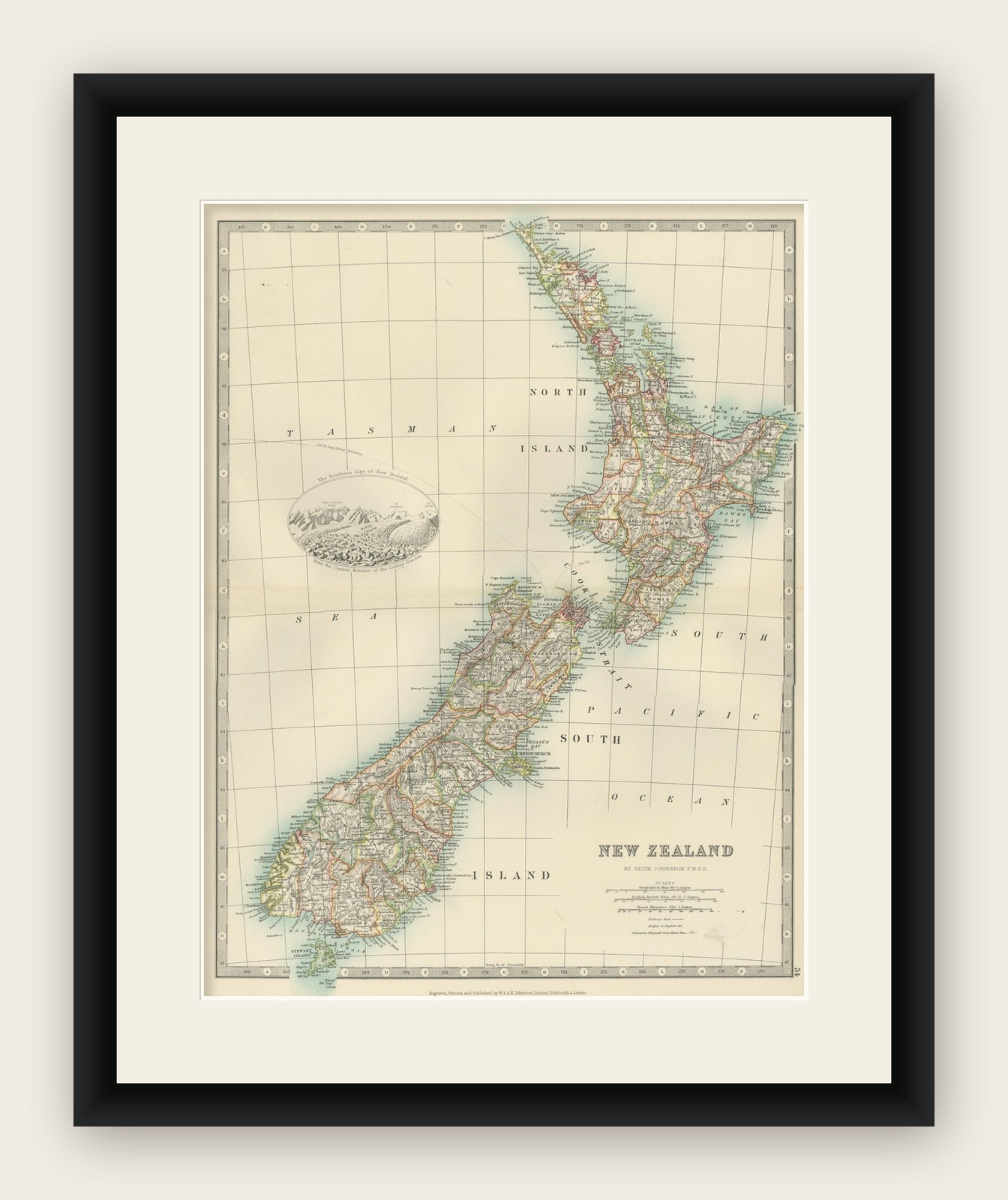
This antique map, titled "New Zealand," was engraved and published in 1903 by W. & A.K. Johnston in Edinburgh and London. It provides a beautifully detailed depiction of New Zealand during a period of remarkable growth and change, capturing the rich cultural and natural diversity of this island nation.
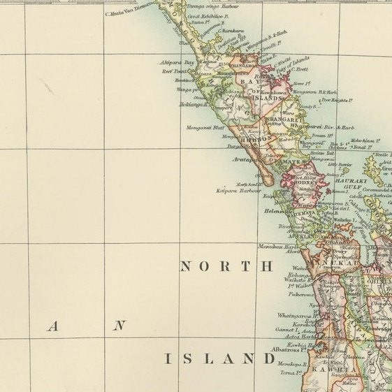
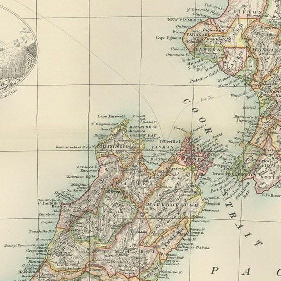
Hand-colored in soft pastel shades to delineate regional boundaries, the map traces major cities, towns, rivers, and mountain ranges, including an inset illustration of the Southern Alps that beautifully captures the grandeur of New Zealand’s alpine landscapes. The map’s fine engraving and delicate typography highlight the rugged coastline, the lush green interior, and the intricate maritime connections that link the islands to the wider Pacific world.
The North Island and South Island are presented with a sense of balance and unity, underscoring the natural beauty and strategic importance of New Zealand within the British Empire at the time. This map is a fascinating window into the history and geography of New Zealand at the dawn of the 20th century, offering a unique blend of artistry and cartographic precision.
For collectors, historians, and those with a deep appreciation for the cultural and natural heritage of New Zealand, this map is a treasure—a reflection of both the enduring spirit of the land and the historical forces that have shaped it.
Condition report: This map is in very good antique condition, with minor foxing and gentle toning along the edges, typical for its age. The colors remain vibrant and the paper is stable and well-preserved.
Framing tips: A classic wooden frame in walnut or cherry will beautifully enhance the soft pastel tones and historical detail of the map. Use a cream or off-white matting to highlight the refined linework and create a sophisticated, timeless focal point for any home, library, or study.