About this sheet
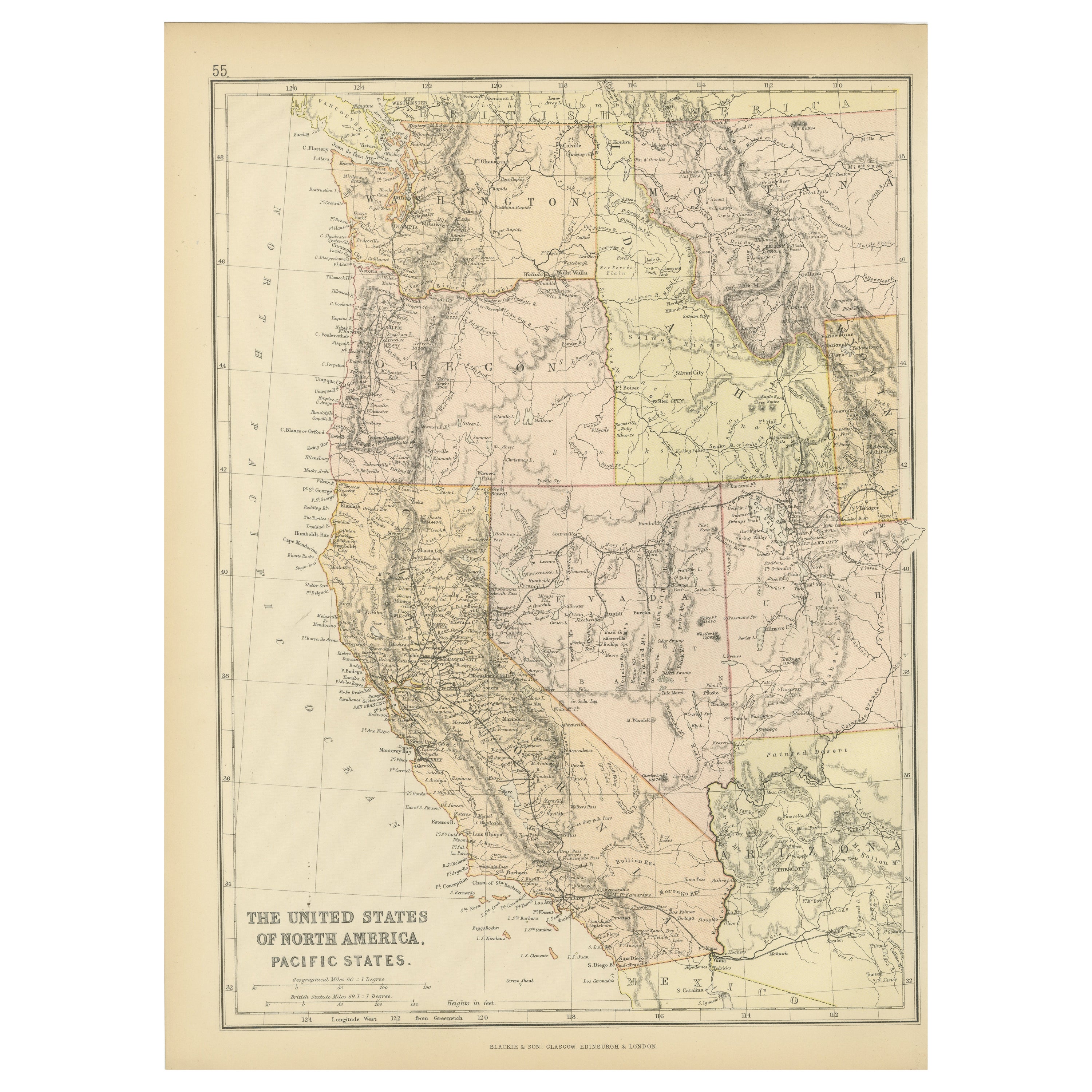
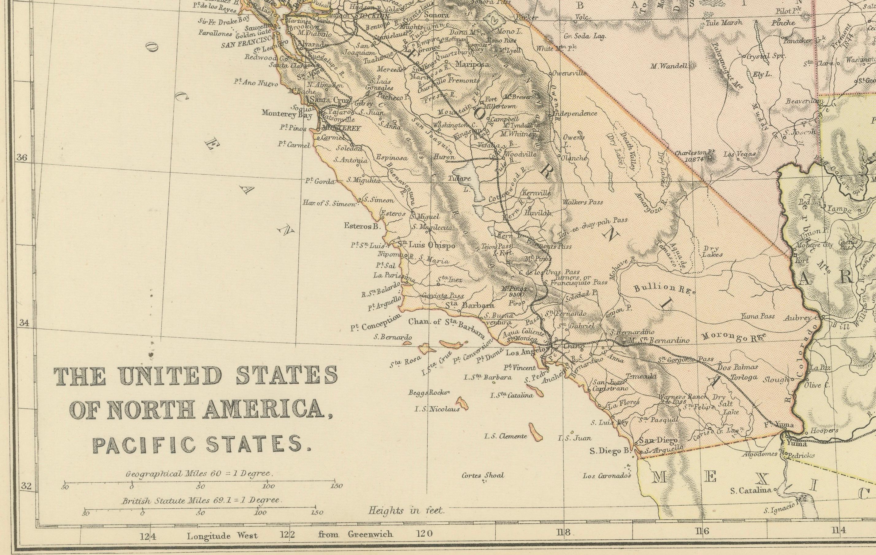
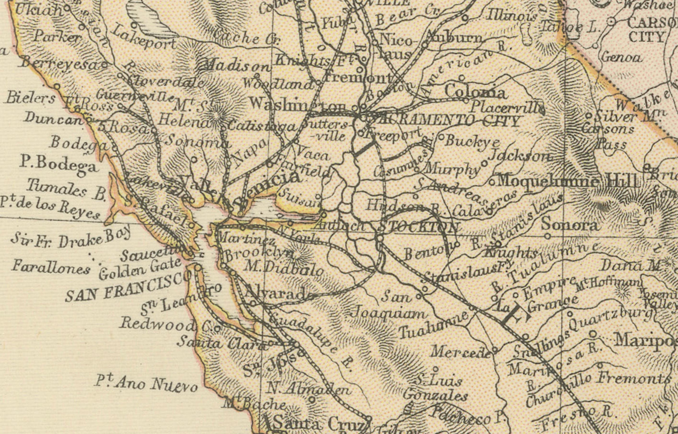
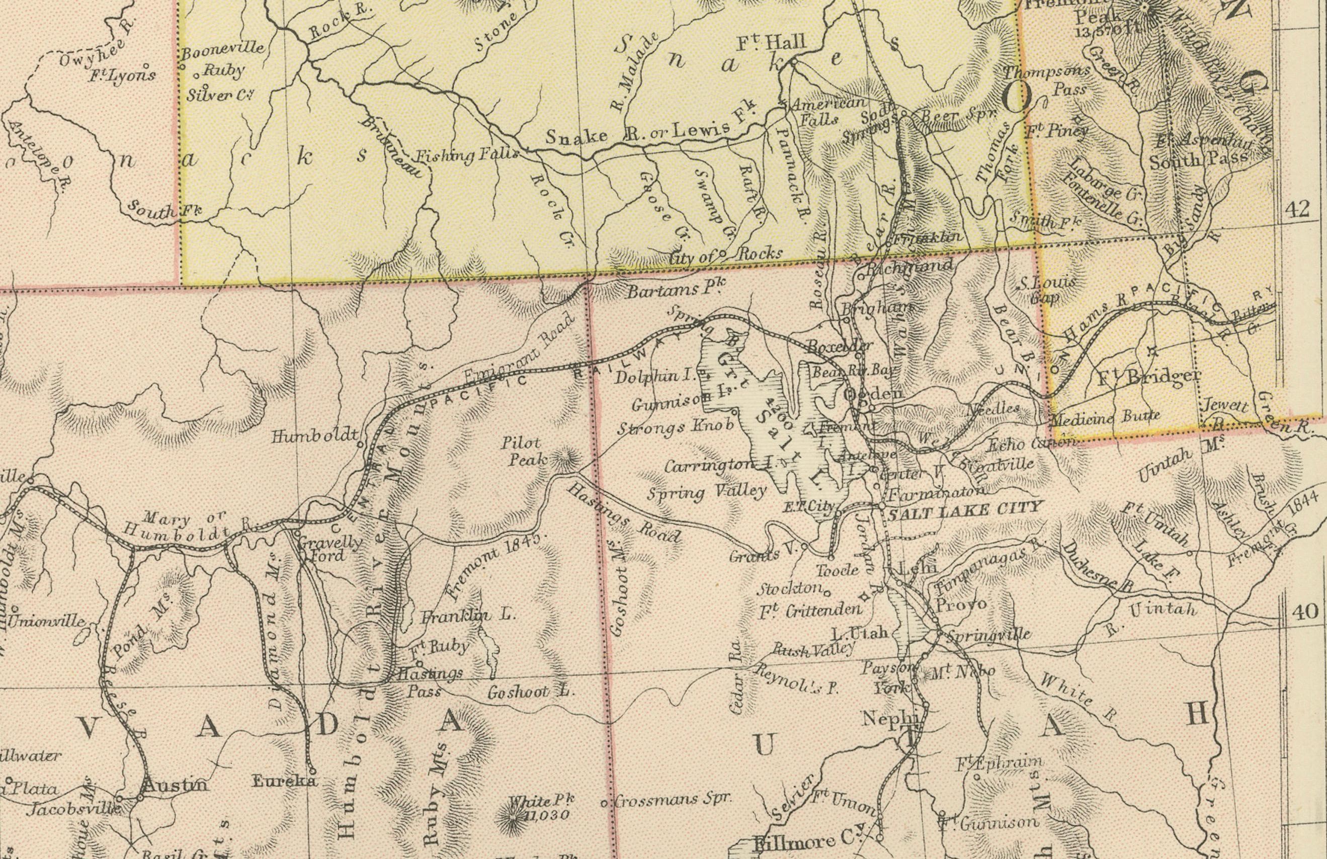
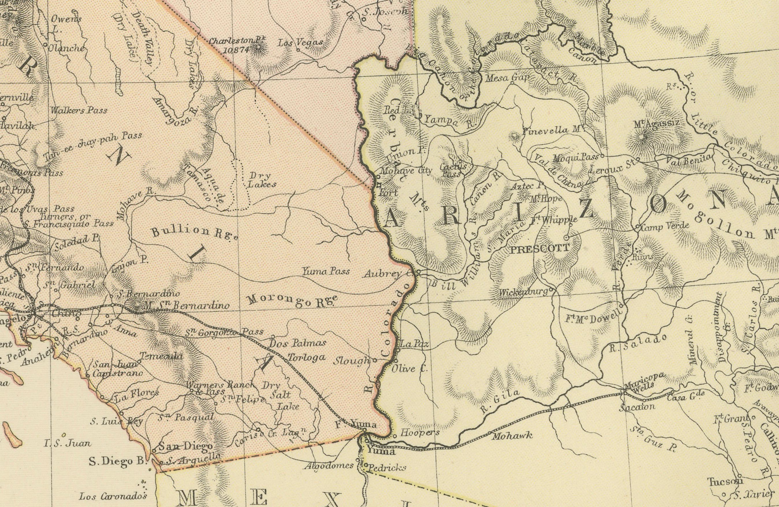
The map is from the same 1882 Blackie Atlas and focuses on the Pacific States of the United States of America during that period. Here are some details and historical context about this region at that time:
1. **Expansion and Settlement**: The latter half of the 19th century was a period of significant growth and settlement in the western United States, especially following the discovery of gold in California in 1848, which kicked off the California Gold Rush.
2. **Transcontinental Railroad**: By 1882, the Transcontinental Railroad had been connecting the west coast with the rest of the country for over a decade, greatly facilitating the movement of people and goods and accelerating the economic development of the region.
3. **Economic Development**: The west coast states, particularly California, were developing rapidly. Agriculture, mining, and shipping were significant industries. Cities like San Francisco and Los Angeles were growing into major urban centers.
4. **Native American Relations**: This was a time of continued conflict and displacement of Native American tribes. The expansion of settlements and the pursuit of natural resources often came at the expense of indigenous populations and their lands.
5. **Territorial Changes**: The territories of the west were in the process of being organized and seeking statehood. For example, Washington would not become a state until 1889, while Arizona and New Mexico would remain territories until 1912.
6. **Natural Features**: The map would showcase significant geographical features such as the Rocky Mountains, Sierra Nevada, and the Cascades. These natural barriers shaped the development and settlement patterns of the region.
7. **Climate and Agriculture**: The diverse climates of the Pacific States, from the wet climates of the Pacific Northwest to the arid areas of the Southwest, influenced the agricultural products and lifestyles of the inhabitants.
8. **Immigration and Diversity**: The Pacific Coast was also a point of entry for immigrants from Asia, contributing to the cultural diversity of the region. The Chinese Exclusion Act of 1882 was a significant and restrictive immigration law that reflected the tensions of the time.
The map would provide a detailed view of these aspects, showing the settlements, the railroads, the terrain, and natural resources that were critical to the development of the Pacific States.