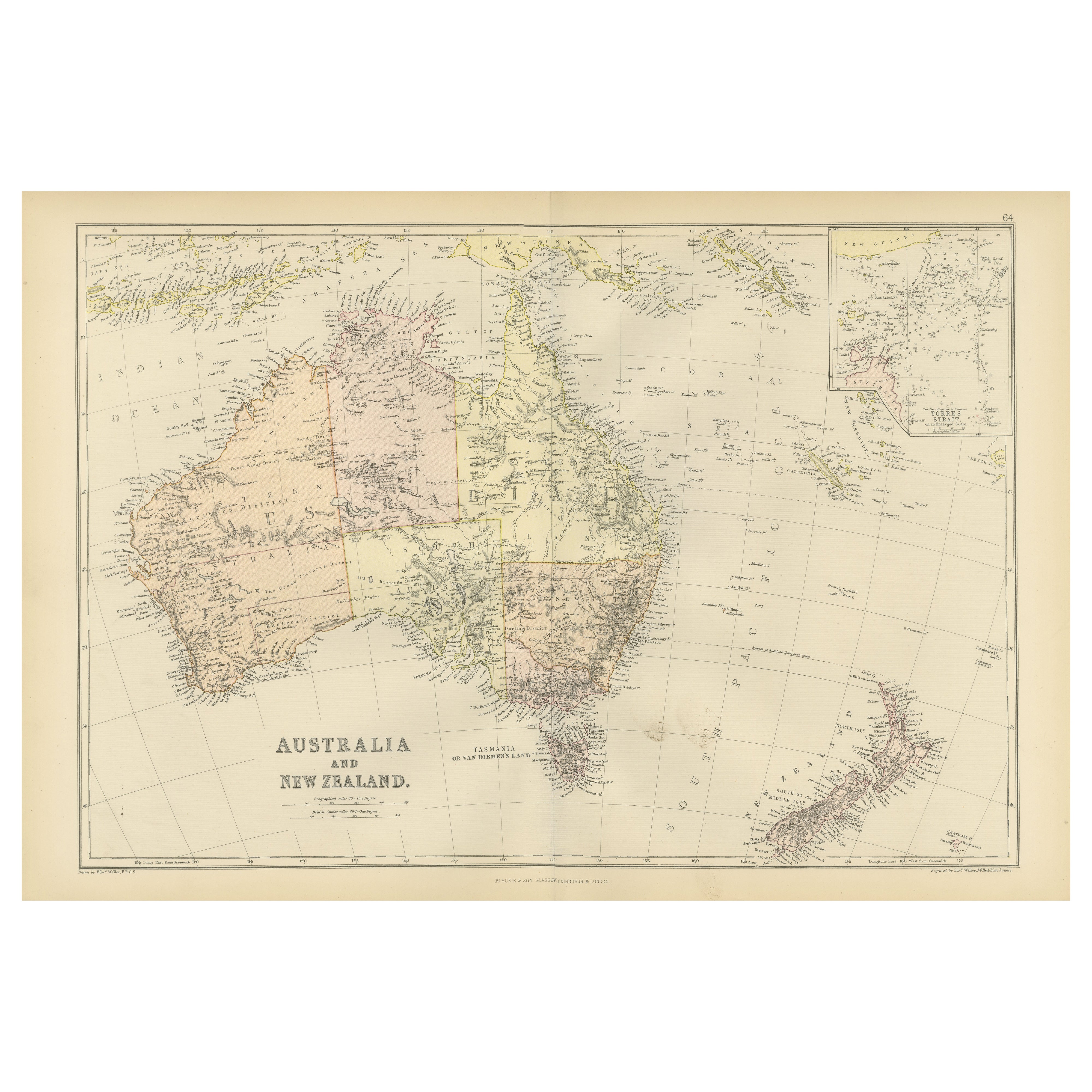
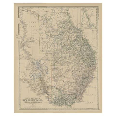
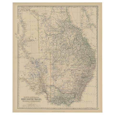
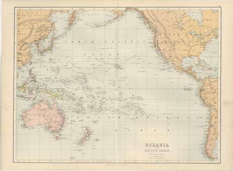
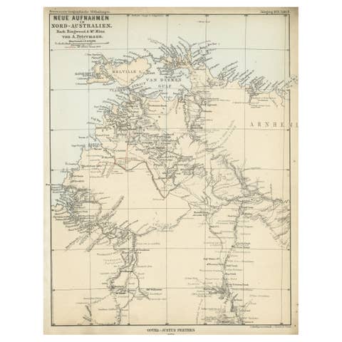
1882 Map of Australia and New Zealand with Regional and Geographical Features
€ 250
One of a kind: this is the sheet in the photographs. Ships from Langweer, the Netherlands.
Date
1882
Sheet size
38 × 57 cm (15.0 × 22.4 in)
Condition
Good
Reference
BG-13601-2-73
Condition
Good condition, folding line in the middle. The outer borders are slightly discolored due to age, but not the image. One light dirt spot between NZ and Australia. This map is ideal for framing. Study the image carefully.
About this sheet
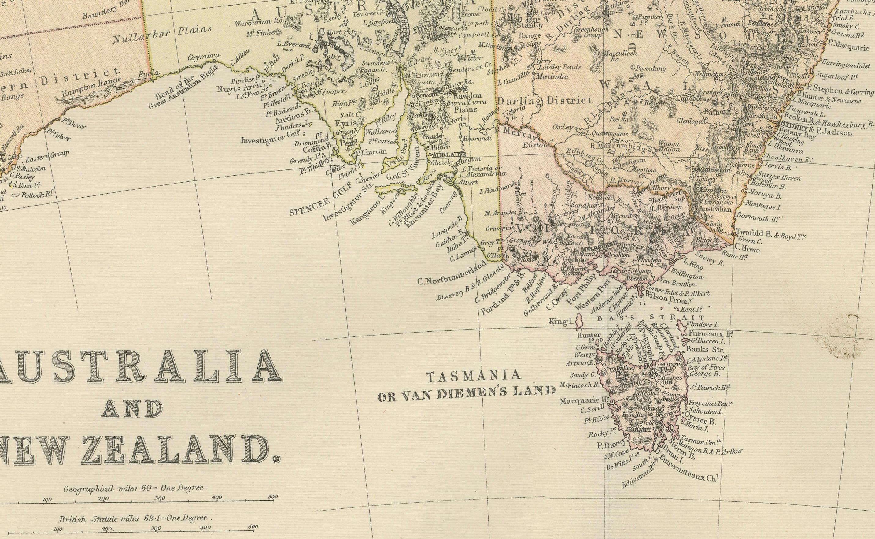
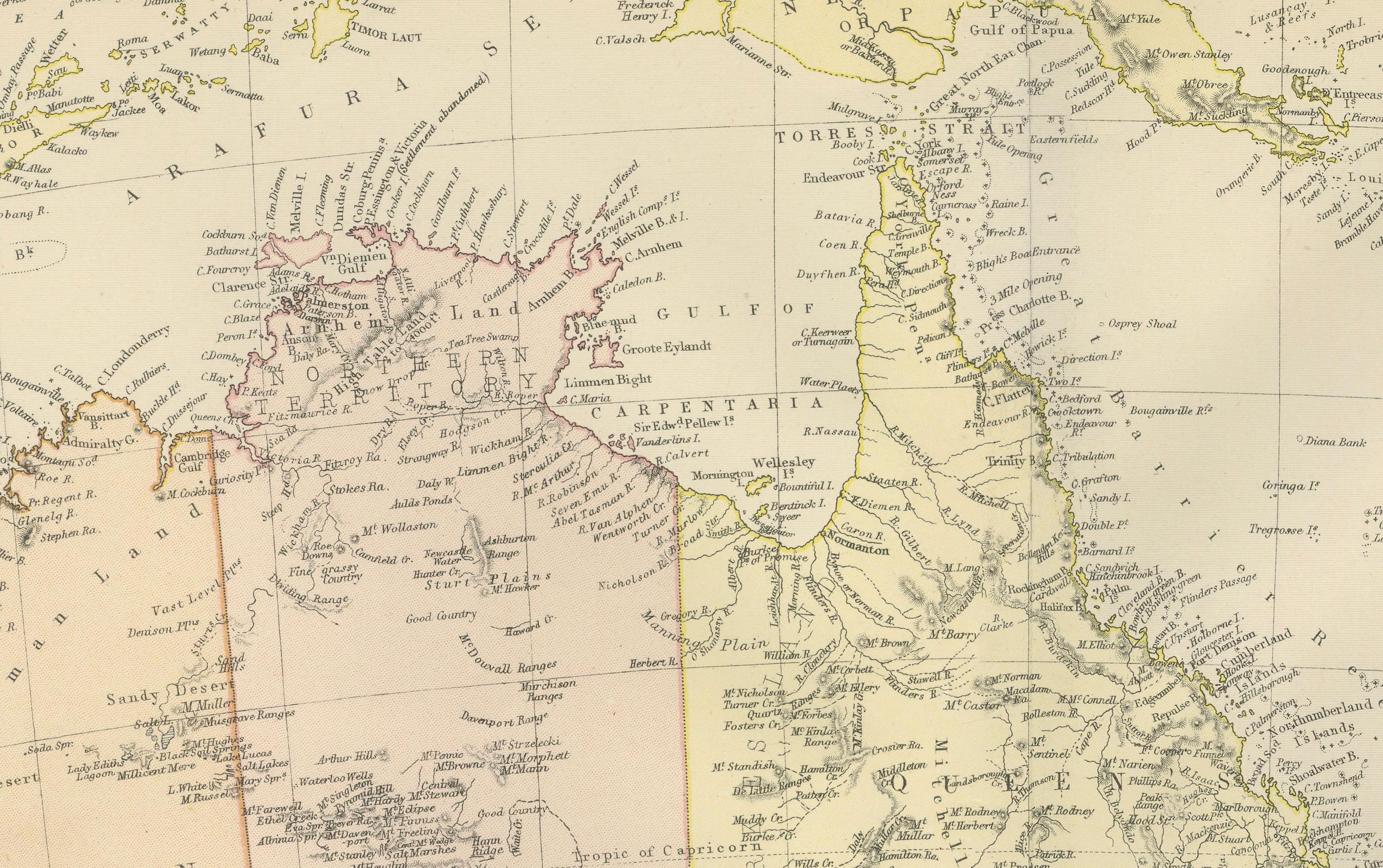
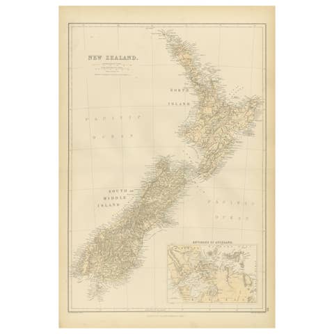
This 1882 map of Australia and New Zealand, published by Blackie and Son as part of the 'Comprehensive Atlas and Geography of the World,' provides a detailed and insightful look at the geography, settlements, and political divisions of the region during the late 19th century. The map highlights Australia’s vast expanse, including its colonies of the time, such as New South Wales, Queensland, Victoria, Western Australia, South Australia, and Tasmania (then referred to as Van Diemen’s Land). New Zealand is also meticulously detailed, showing its North and South Islands with significant cities, towns, and geographical features.
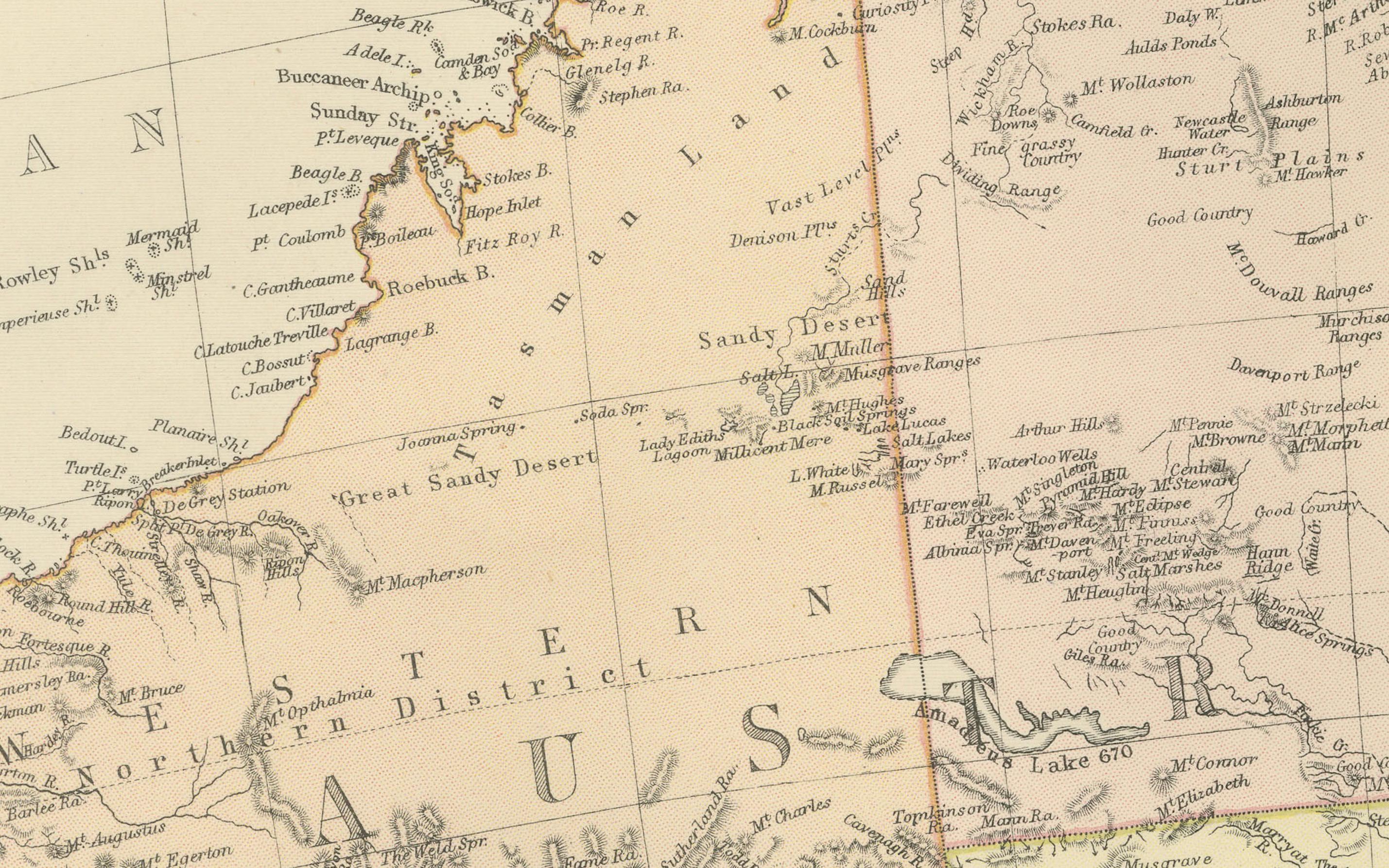
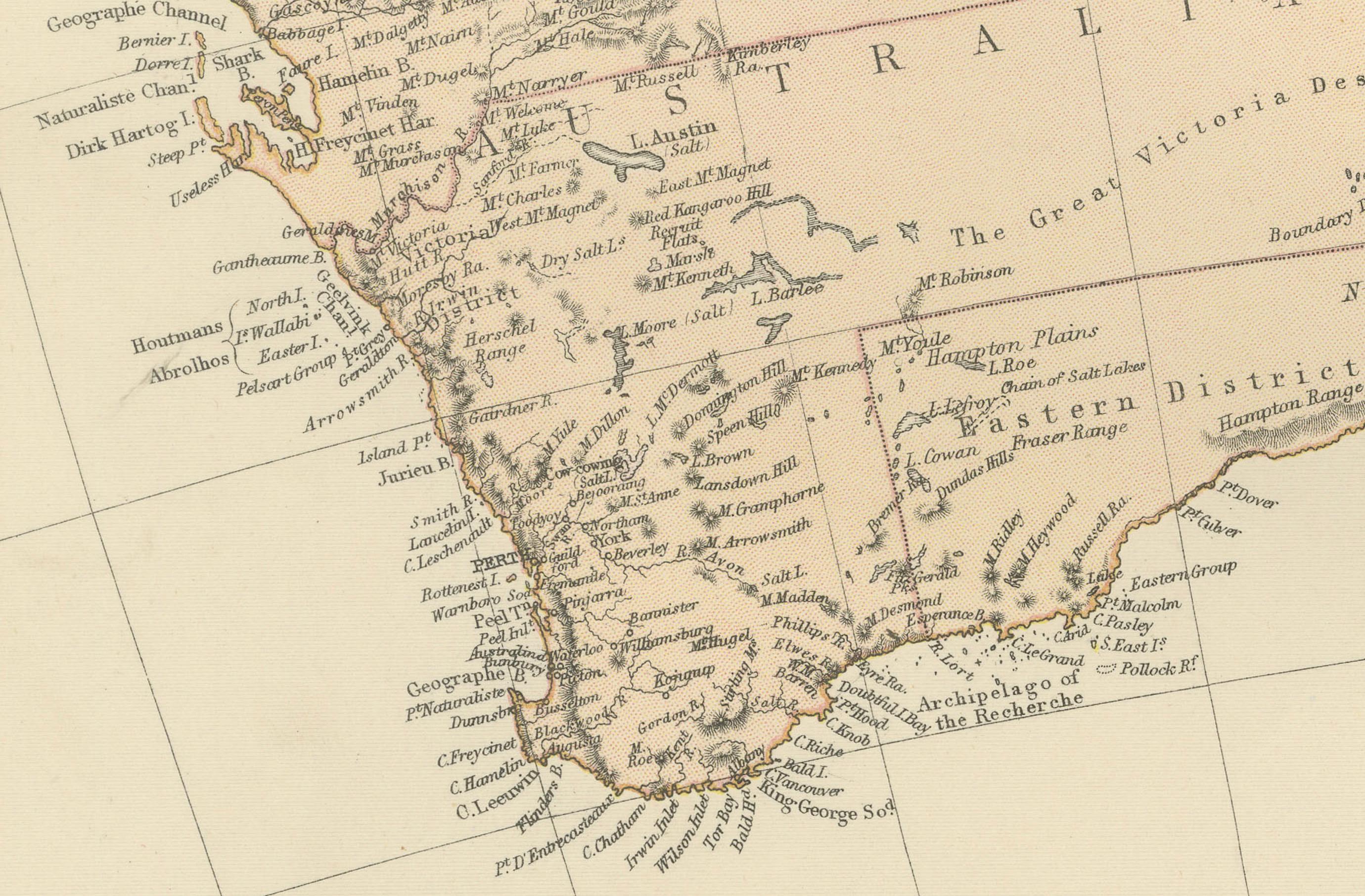
Key geographical elements, such as mountain ranges, river systems, and coastal details, are prominently displayed. The map also includes an inset of the Torres Strait Islands and surrounding areas, providing a closer view of this significant maritime region. The cartography reflects the era's precision, with topographical details and place names carefully engraved. The soft pastel coloring is used to distinguish regions, emphasizing political boundaries while maintaining an understated aesthetic typical of 19th-century maps.
Condition report: The map is in good condition with minimal signs of wear. The paper shows slight toning and spotting consistent with its age, but the engraving and colors remain vibrant and intact. No visible tears or repairs are present.
Framing tips: Use a wooden frame with a natural or antique finish, such as walnut or dark oak. Choose a double mat with an inner cream or off-white color and an outer mat in a soft blue or light beige to complement the map's tones. Use UV-protective glass to preserve the map’s condition and prevent fading.