Antique Maps of Australia & Oceania
15 original sheets
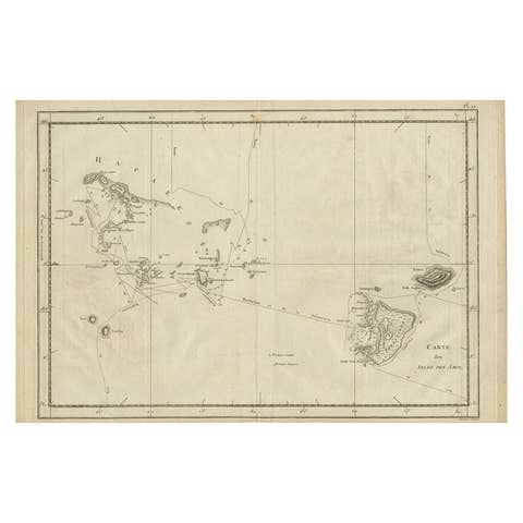
Antique Engraved Map of the Friendly Islands or Tonga, ca.1785
1785 · € 320
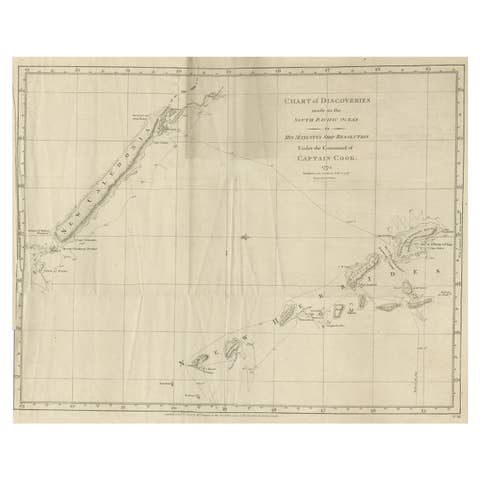
Rare Engraving of New Caledonia & New Hebrides from Capt. Cook's Travels, 1777
1777 · € 750
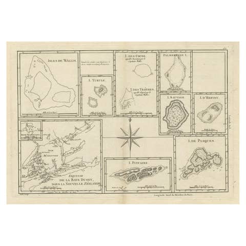
Print of Maps of Islands of the South Pacific, Incl. Pitcairn & Dusky Bay, 1788
1788 · € 440
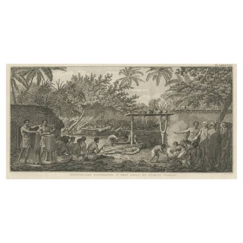
Human Sacrifice in a Morai, Tahiti – Cook Voyage Engraving c.1795
1795 · € 740
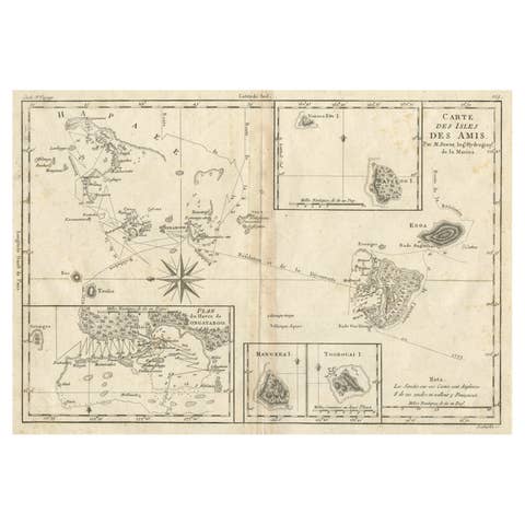
Old Map of the Kingdom of Tonga, Also Known as the Friendly Islands, ca.1780
1780 · € 260
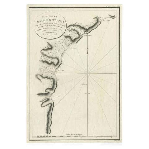
Antique Map of the Bay of Terney by La Pérouse, 1797
1797 · € 153
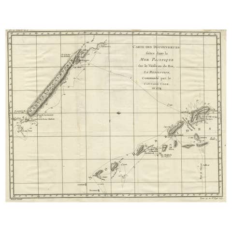
Old Engraving of the Track of the Resolution Captain Cook in the Pacific, 1780
1780 · € 430
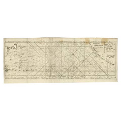
Antique Map of the Pacific Ocean by Anson, 1765
1765 · € 985
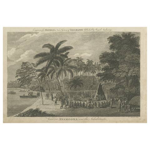
Antique Print of the Marketplace in Anamooka, Tonga Islands, c.1790
1790 · € 270
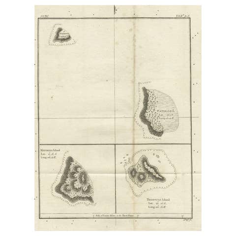
Old Map of the Cook Islands Takutea, Atiu, Mangaiac and Tubuai, Polynesia, 1781
1781 · € 130
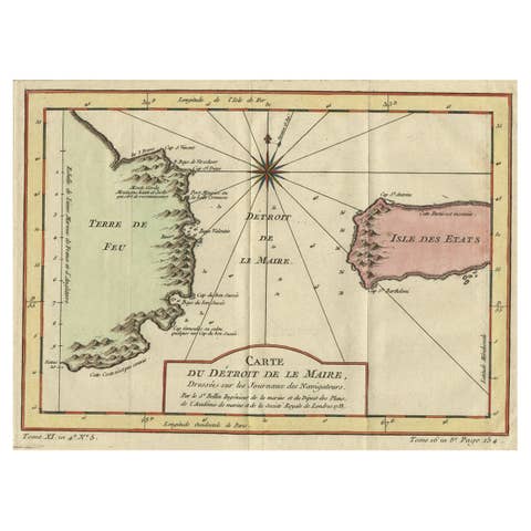
Antique Map of the Passage Between the Atlantic and Pacific Oceans, circa 1753
1753 · € 230
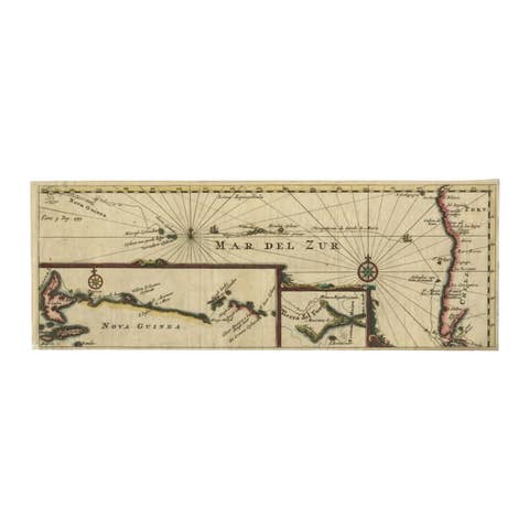
Antique Map of the Pacific Ocean by Renneville, 1725
1725 · € 450
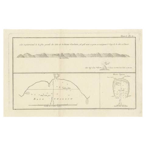
Antique Map of the Queen Charlotte Islands (Santa Cruz) Pacific – Carteret, 1774
1774 · € 279
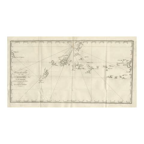
Antique Map of the Caroline Islands – Early Exploration of the Pacific, c.1760
1760 · € 390
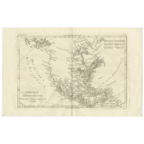
North America & the Pacific – Rigobert Bonne’s Enlightenment Map, c.1780
1780 · € 540