About this sheet
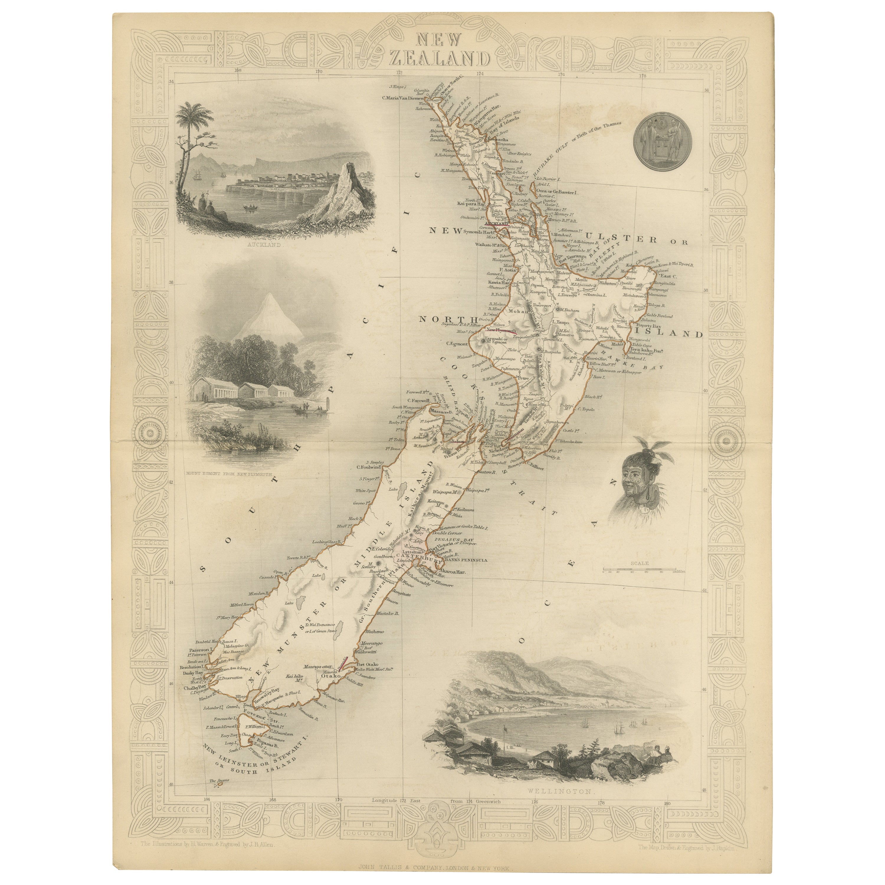
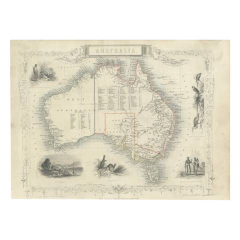
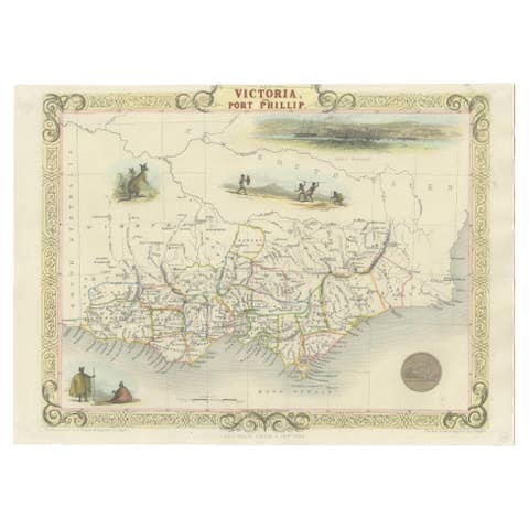
John Tallis & Company were renowned for their ornate and detailed maps in the mid-19th century. Their works often featured elaborate borders, decorative motifs, and insets of vignettes that illustrated significant landmarks, local peoples, and prominent flora and fauna associated with the region being depicted.
The map of New Zealand you've mentioned would have been created when New Zealand was a relatively new addition to the British Empire, with formal colonial control established in 1840 through the Treaty of Waitangi. It showcases both the North and South Islands, identifying key settlements, geographical features.
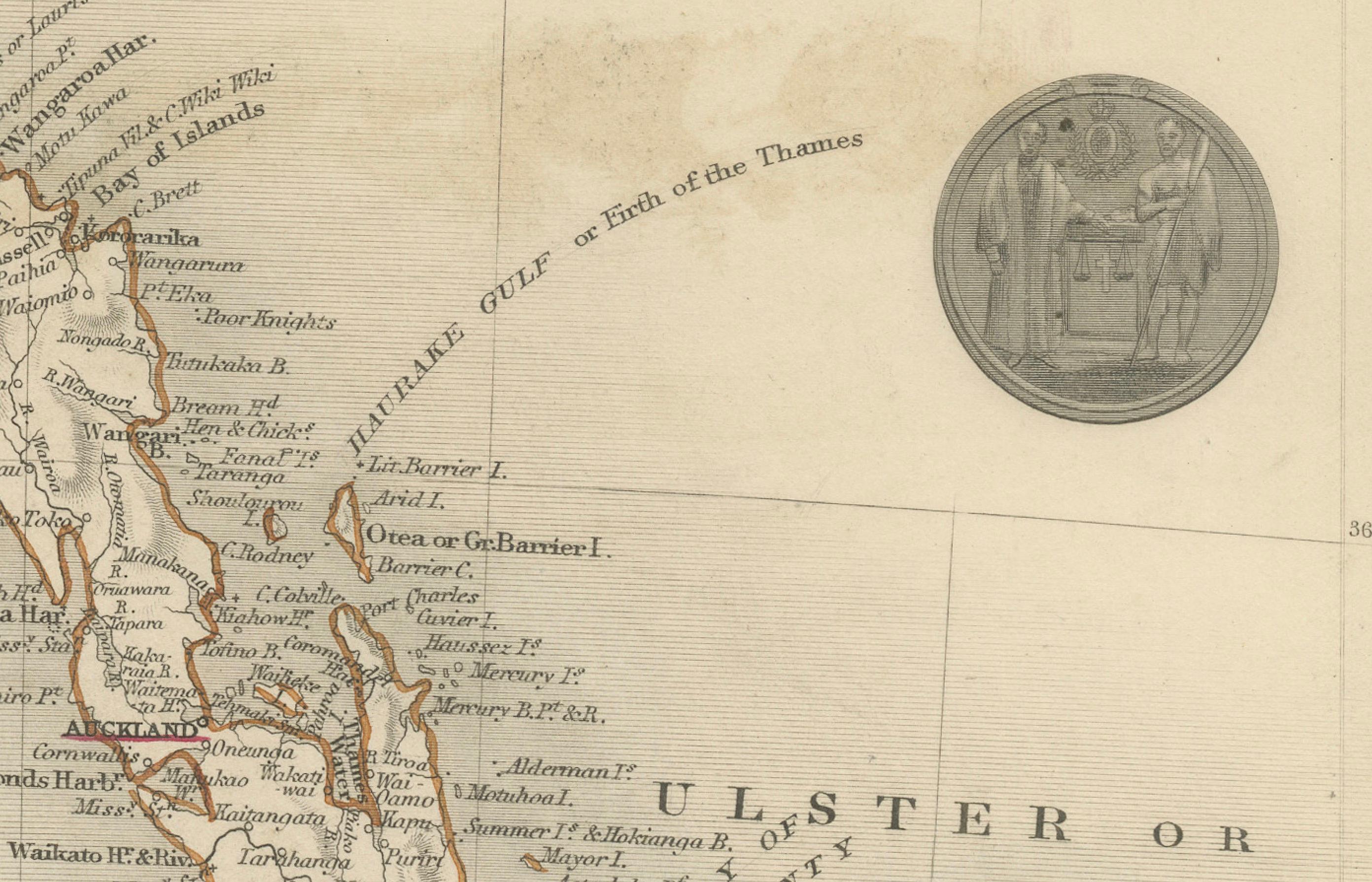
The insets and the main map itself in the Tallis series were designed not only for practical navigation but also to educate and enthrall the British public with the exotic appeal of their empire's distant lands. They are a mix of cartography, art, and imperial messaging, serving as historical records of how the British Empire wanted to be seen and understood during this era of expansion. These maps are treasured today for their historical value and artistic beauty.
The illustrations on the map would have been carefully chosen to depict the most recognizable aspects of New Zealand. This includes:
The images included as insets in the map are likely to be:
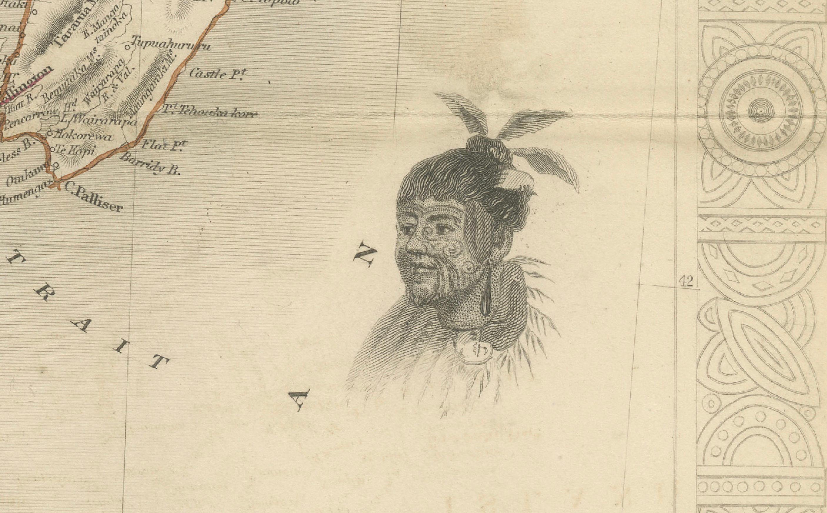
1. **A Maori Chief and Woman**: This medallion-style inset portrays a Māori chief and a woman in traditional attire, showcasing the indigenous peoples of New Zealand. Their clothing, facial tattoos (moko), and adornments are indicative of the rich cultural tapestry of the Māori.
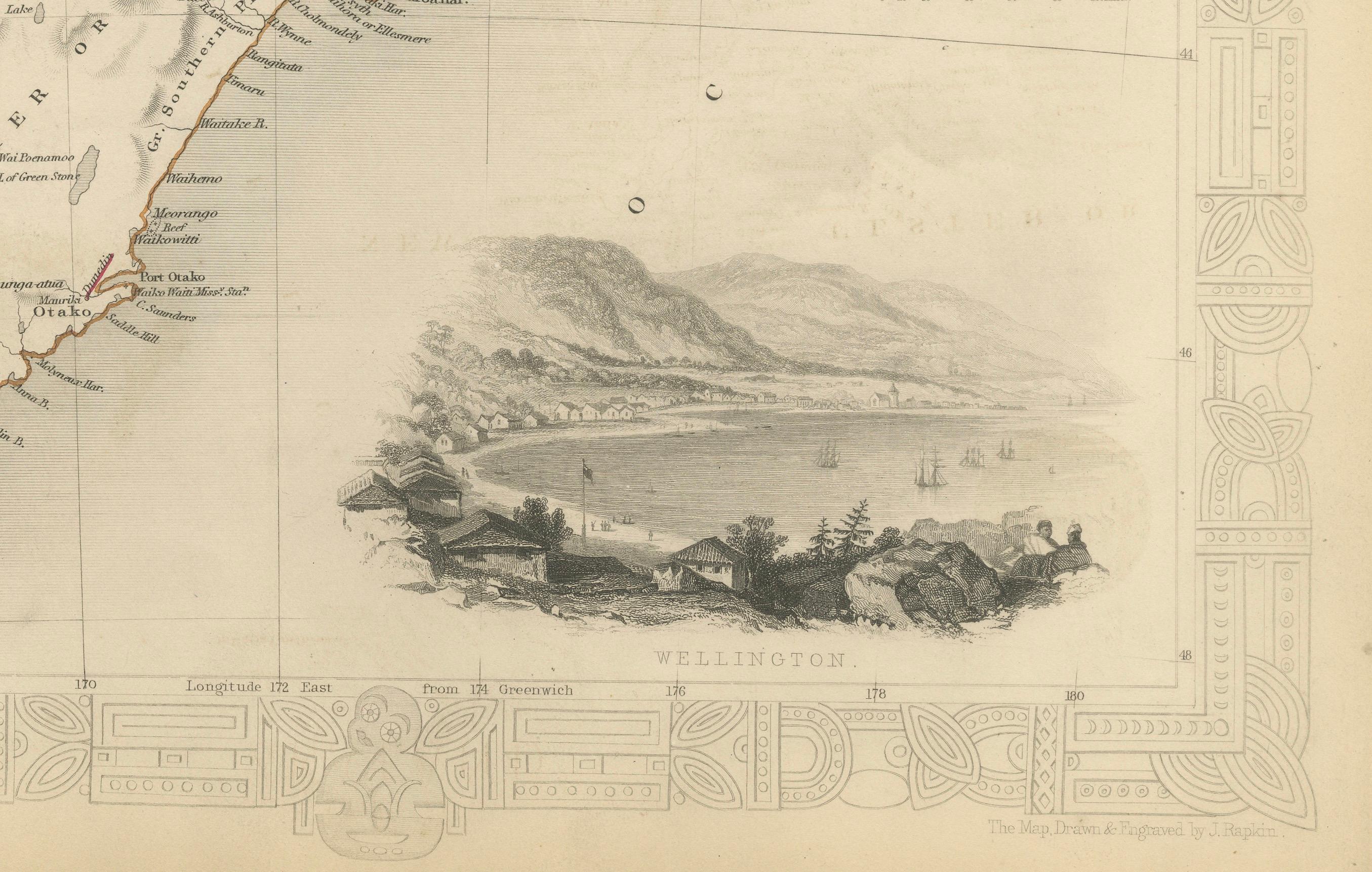
2. **Wellington**: A view of Wellington, capturing its early development as a city. It may include the city's harbor, with colonial-era ships at anchor, surrounded by the rolling hills and rugged terrain that characterize the region.
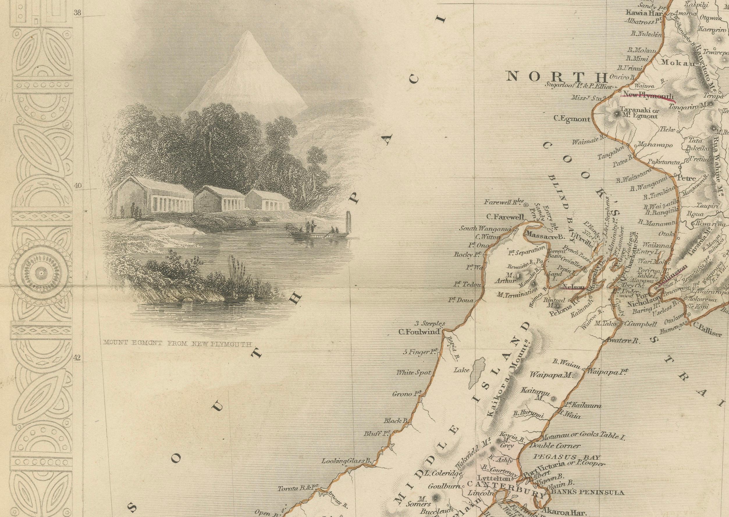
3. **Mount Egmont from New Plymouth**: An illustration showing Mount Taranaki (also known as Mount Egmont) as seen from New Plymouth. The image might highlight the conical shape of the volcano, with a settlement in the foreground, indicating the European presence and their developing infrastructure.
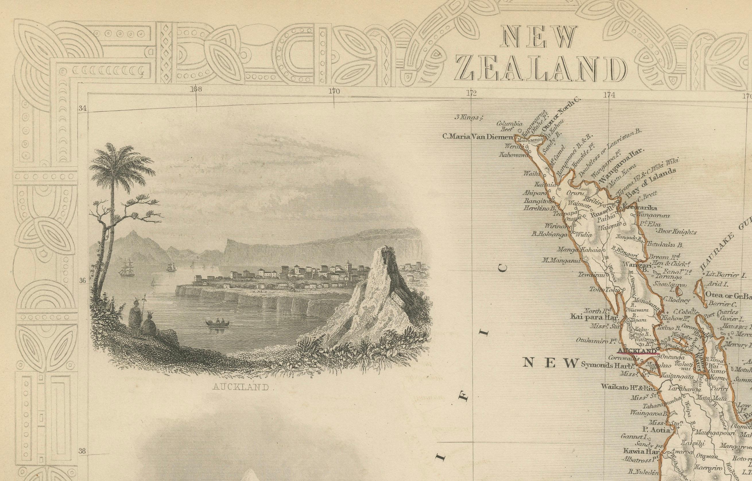
4. **Auckland**: Depicts a coastal view of Auckland with its prominent volcanic hills in the background, and early colonial buildings and ships in the harbor, suggesting Auckland's importance as an early colonial and trade center.
These images not only provide geographical landmarks but also offer a cultural and societal perspective, emphasizing the dual narrative of natural beauty and colonial progress that was prevalent in the Tallis maps. They provide a snapshot into 19th-century life in New Zealand, reflecting both the Māori culture and the burgeoning colonial settlements.