Antique Maps of United Kingdom & Ireland
205 original sheets
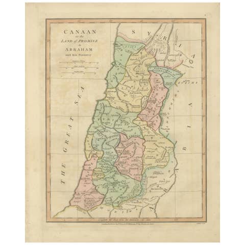
The Land of Promise — Elegant Hand-Colored Biblical Map of Canaan, London 1827
1827 · € 320
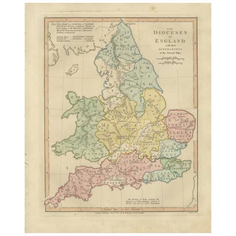
Dioceses of England — Ecclesiastical Map of England, Wilkinson 1801
1801 · € 340
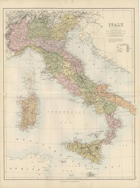
Antique Map Italy, Bartholomew for Black’s General Atlas, Edinburgh 1884
1884 · € 339
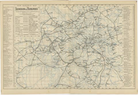
Decorative London Railway Map, Victorian Transport Plan of London & Suburbs 1885
1885 · € 440
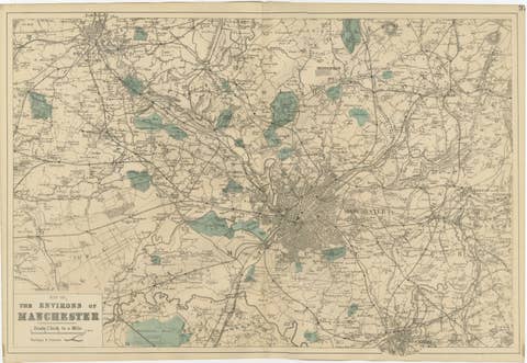
Antique Map of Manchester & Environs, Victorian Industrial Lancashire Map, 1885
1885 · € 339
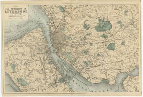
Original Antique Map of Liverpool and Environs, Victorian Mersey Atlas Map, 1885
1885 · € 359

Parthian Empire Map, Arsacid Persia & Bactria, Wilkinson London 1817
1817 · € 349

Hannibal’s Campaign Map, Spain to Italy via Alps, Wilkinson London 1817
1817 · € 390

Roman Empire Map, Europe Mediterranean & Near East, Wilkinson London 1817
1817 · € 590

Roman Britain Map, Britannia Romana, Ancient England Wales Wilkinson 1817
1817 · € 399

Antique Map of British North America, Canada and Hudson Bay, 1860
1860 · € 370
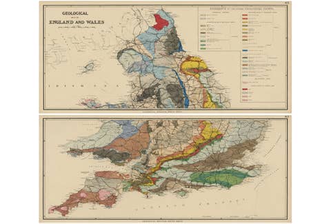
Antique Geological Map of England & Wales, Hand-Colored, c.1880
1880 · € 1 150
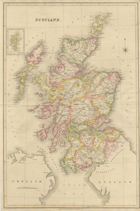
Antique Map of Scotland by T. L. Murray with Original Color, 1830
1830 · € 495