maps-prints.com
✦
Black Friday Sale
Friday 20 to Monday 30 November: up to 30% off original antique maps and prints
The terms
- Up to 30% off selected original antique maps and prints. Every piece is an original, printed in its own time; none is a reproduction.
- The sale runs from Friday 20 November to Monday 30 November. Sale prices shown here apply from Friday 20 November; until then pieces are sold at their regular price.
- Free FedEx shipping on qualifying orders placed on our own websites: USA, Canada, UK and Europe over $500 / €450; rest of the world over $750 / €675. Smaller orders pay our normal shipping rate.
- Orders placed from 15 to 30 November ship from 1 December, in time for Christmas. Our shipping partner is InXpress.
- Each piece is unique, so the sale is while stock lasts.
Collection:AllAmericanSea chartsMilitaryNatural historyFashionArchitectureBotanicalSacredEast Indies
Sale prices apply from Friday 20 November. Save the pieces you like with the heart and come back on Friday.
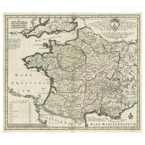 Large Antique Map of Gaul under Roman Rule, ca.1760
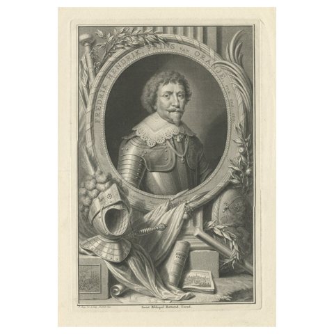 Antique Portrait of Frederik Hendrik, Prince of Orange, Etc Etc, 1749
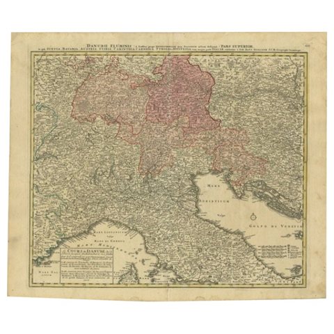 Antique Map of the Danube River and Surroundings by Homann Heirs, c.1730
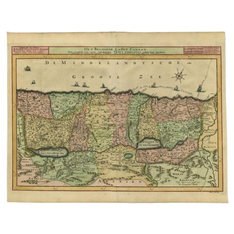 Antique Map of the Holy Land by Schut, 1710
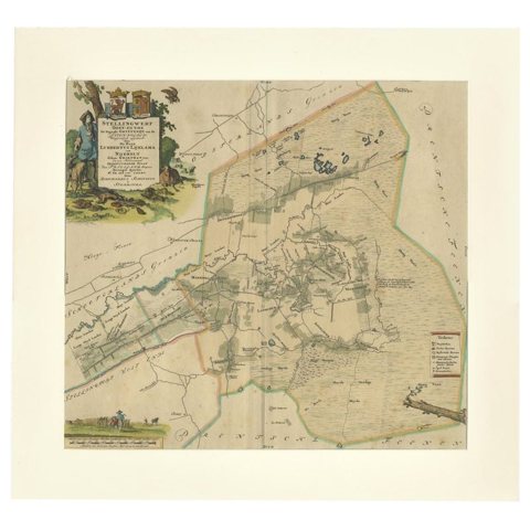 Antique Map of the Ooststellingwerf Township Friesland by Halma, 1718
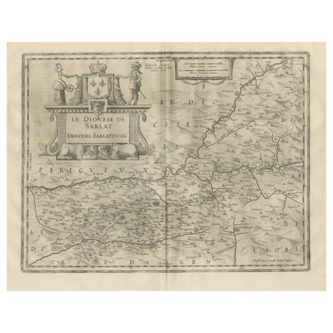 Antique Map of the Region of Sarlat in France by Janssonius, 1657
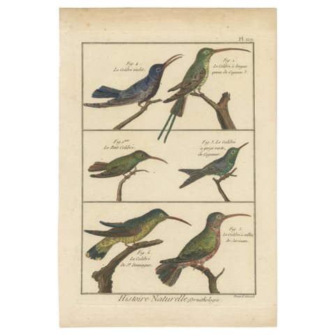 Very Detailled, Richly Hand-Colored, Rare Copper Engraving of 6 Colibris (1792).
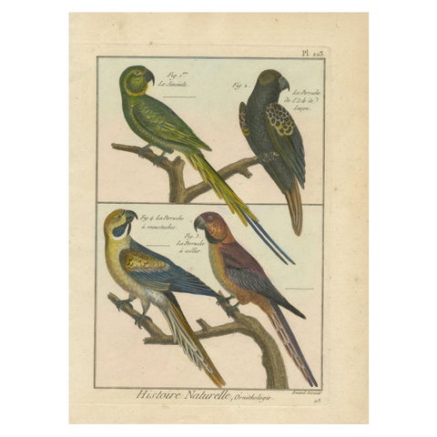 Beautiful, Richly Colored, Copper Engraving of Parakeets '1792'
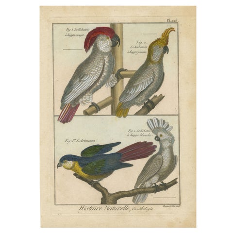 Authentic, Beautifully Richly Colored, Copper Engraving of Cockatoos '1792'
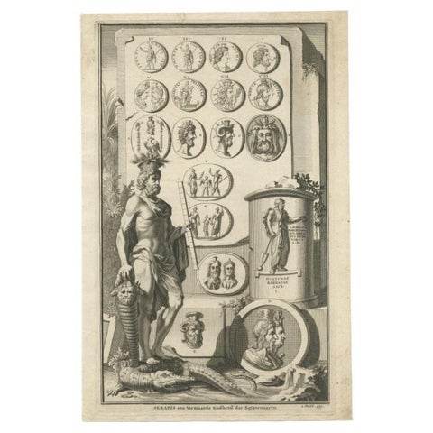 Antique Print of Serapis, a Graeco-Egyptian Deity, c.1700
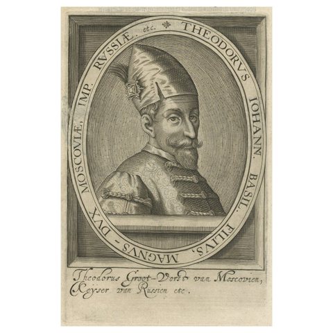 Rare Antique Engraved Portrait of Theodor, Sovereign of Moscow, Russia, 1615
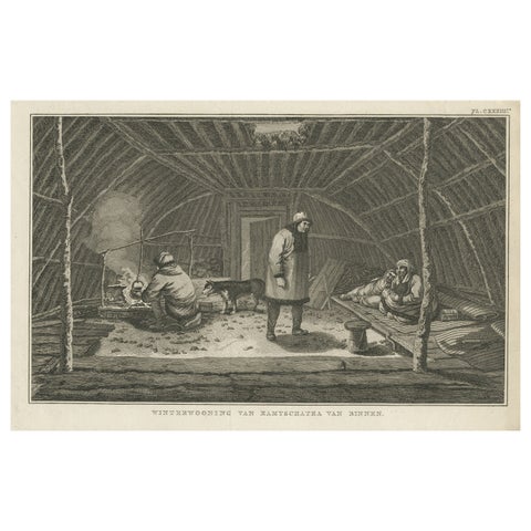 Interior of Winter House, Kamchatka – Cook Voyage Engraving c.1803
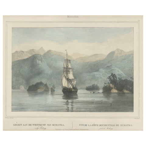 Antique Print of a Ship Near the Coast of Sumatra, Indonesia, c.1845
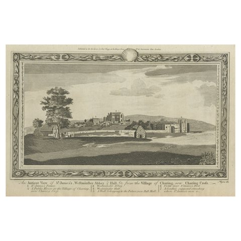 Rare Antique Print of the Famous Westminster Abbey, London, England, C.1800
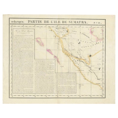 Detailed Antique Map of the Western Sumatra, Indonesia, circa 1825
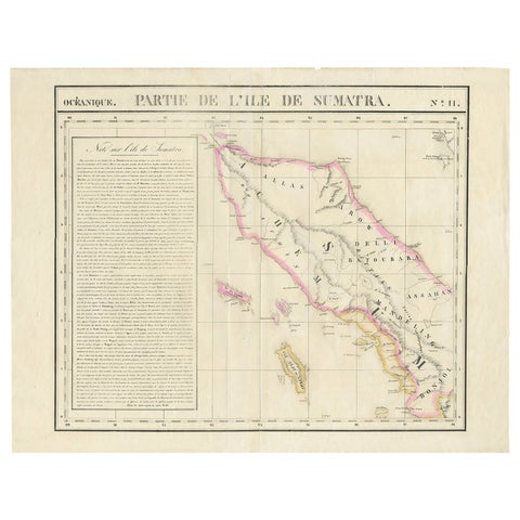 Detailed Antique Map of Northern Sumatra, Indonesia, circa 1825
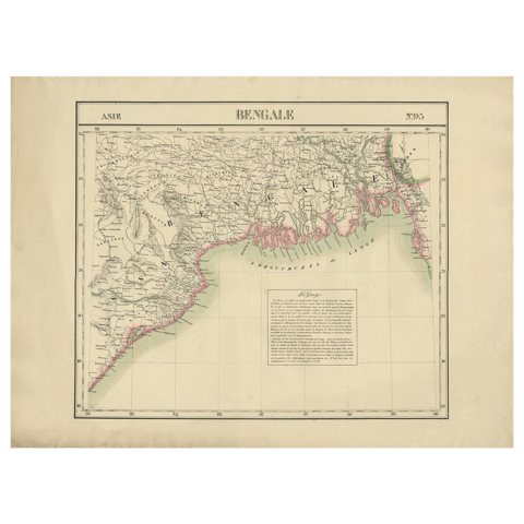 Detailed Orginal Antique Map of Bengal, India, c.1825
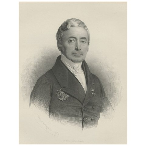 Rare Portrait of an Important Dutch or Belgium Figure, c.1850
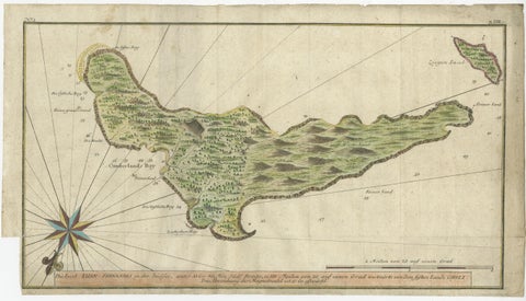 Rare Handcolored Map of Isle de Juan Fernandes 'Robinson Crusoe Island', Chili
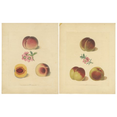 Set of Two Antique Prints of Various Peach Varieties
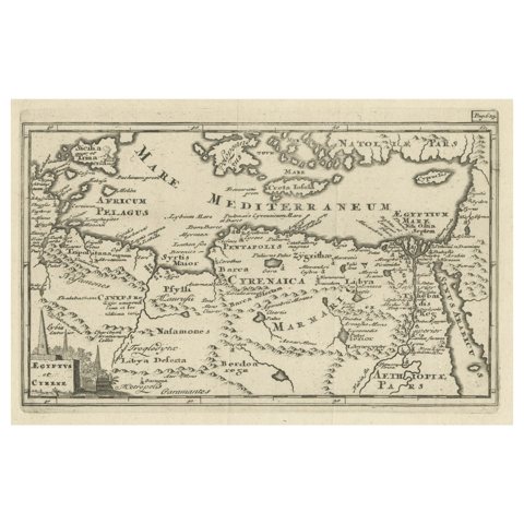 Original Antique Map of the Region Between the Gulf of Lybia and the Red Sea
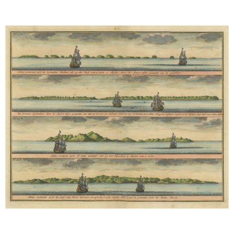 Colored Antique Print of the Islands of Marken, New Ireland and Other Islands
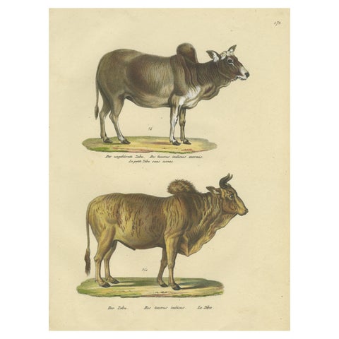 Antique Hand Colored Print of a Zebu and Horned Zebu
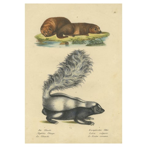 Antique Hand Colored Print of a Skunk and European Otter
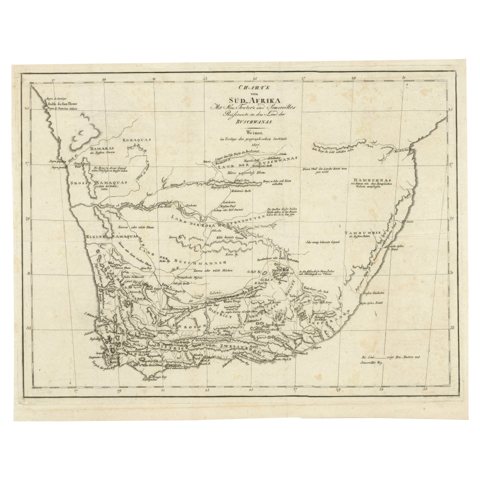 Antique Map of South Africa showing the Travels of Truter and Somerville
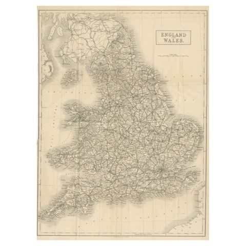 Antique Folding Map of England and Wales
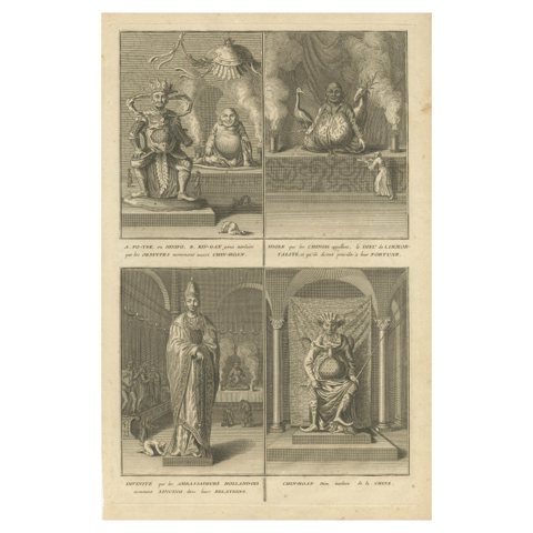 Antique Print of Fo-Tek, King-Gan and other Chinese Deities
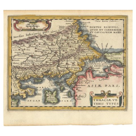 Original Old Map of Northeastern Greece & Northwestern Turkey, Published in 1661
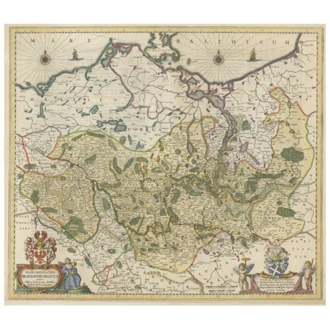 Antique Hand-colored Map of Brandenburg, Germany
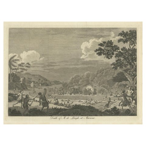 The Death of Commander Fleuriot de Langle and His Men at Maouna, Samoa, 1797
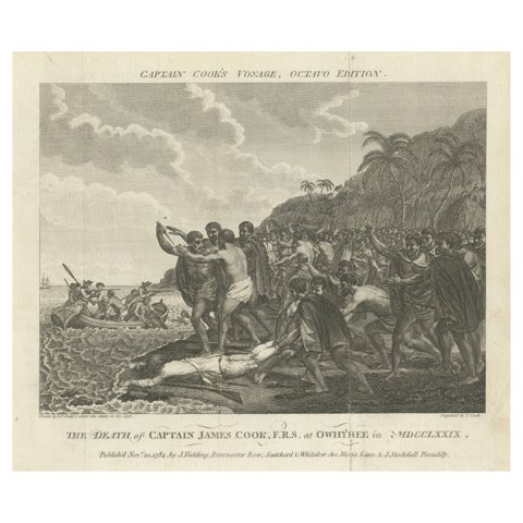 Engraving of The Death of Captain James Cook at Kealakekua Bay, Hawaii, 1784
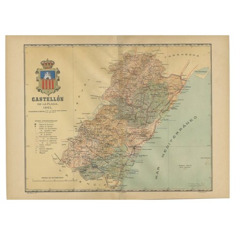 Castellón de la Plana 1901: A Cartographic Perspective of the Valencian Coast
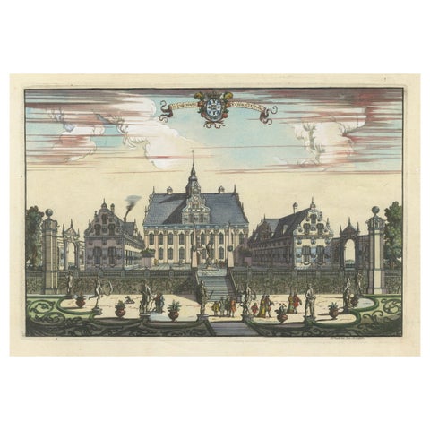 The Pastoral Elegance of Ulriksdal Castle by Herman Padtbrugge, ca.1685
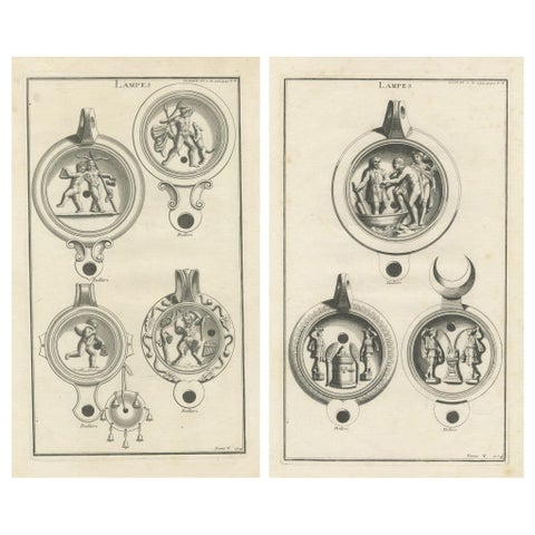 Ancient Lamps in Art: Montfaucon's 18th-Century Engravings, circa 1722
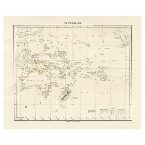 Mid-19th Century Map of Australasia by Carl Flemming - 1855
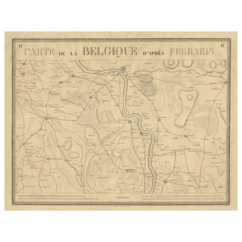 1821 Map of the Rhine River Region by Vandermaelen – from Duisburg to Wesel
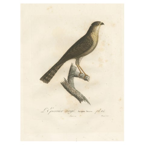 1807 Sharp-Shinned Hawk Illustration - 'L'Epervier rayé' Antique and Handcolored
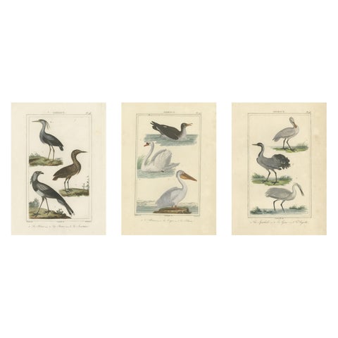 Elegant Avian Diversity: Illustrations from Buffon's Ornithology, c.1780
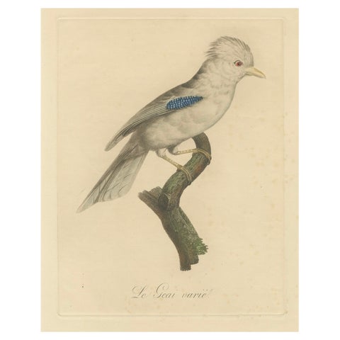 Le Geai varié (The Varied Jay): A 19th-Century Hand-Colored Bird Print
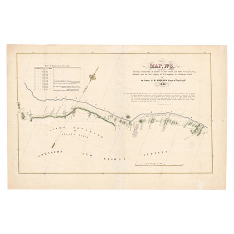 1849 Hand-Colored Map of Fort Smith to Santa Fe Route, Detailing Trails & Camps
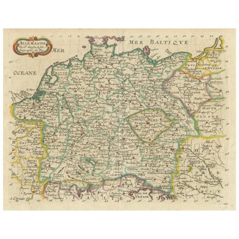 Decorative Hand-Colored Map of Germany by Nicolas Sanson, 1648
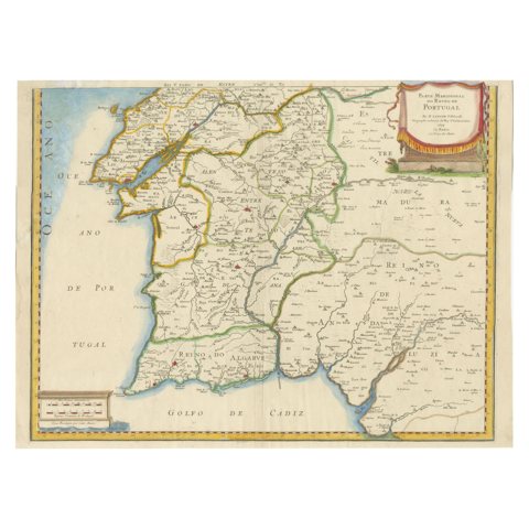 17th Century Map of Southern Portugal by Sanson – Hand-Colored, 1679
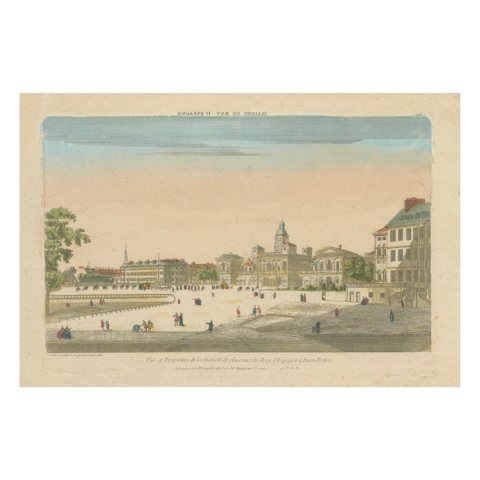 Optical View of the Royal Palace at Buen Retiro, Hand-Colored, London c.1780
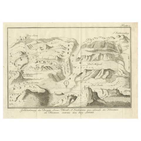 Mount Sinai & St. Catherine's – Antique Map of the Sinai Monasteries, 1776
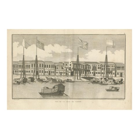 View of the City of Canton (Guangzhou) with Foreign Factories, 1806
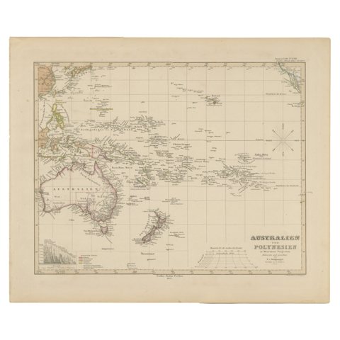 Antique Map of Australia, New Zealand & Polynesia – Stülpnagel, 1857
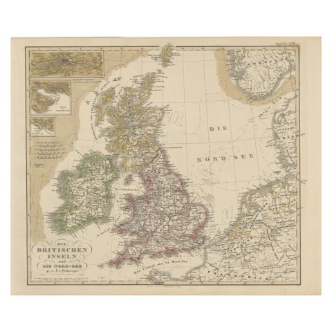 Antique Map of Britain & Ireland with North Sea Detail – 1856 Stülpnagel
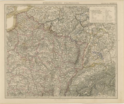 Antique Map of Northeastern France – Alsace, Lorraine & Champagne, 1858
Sharing the sale? Download the Black Friday banners.