About this sheet
17th Century Map of Southern Portugal by Sanson – Hand-Colored, 1679
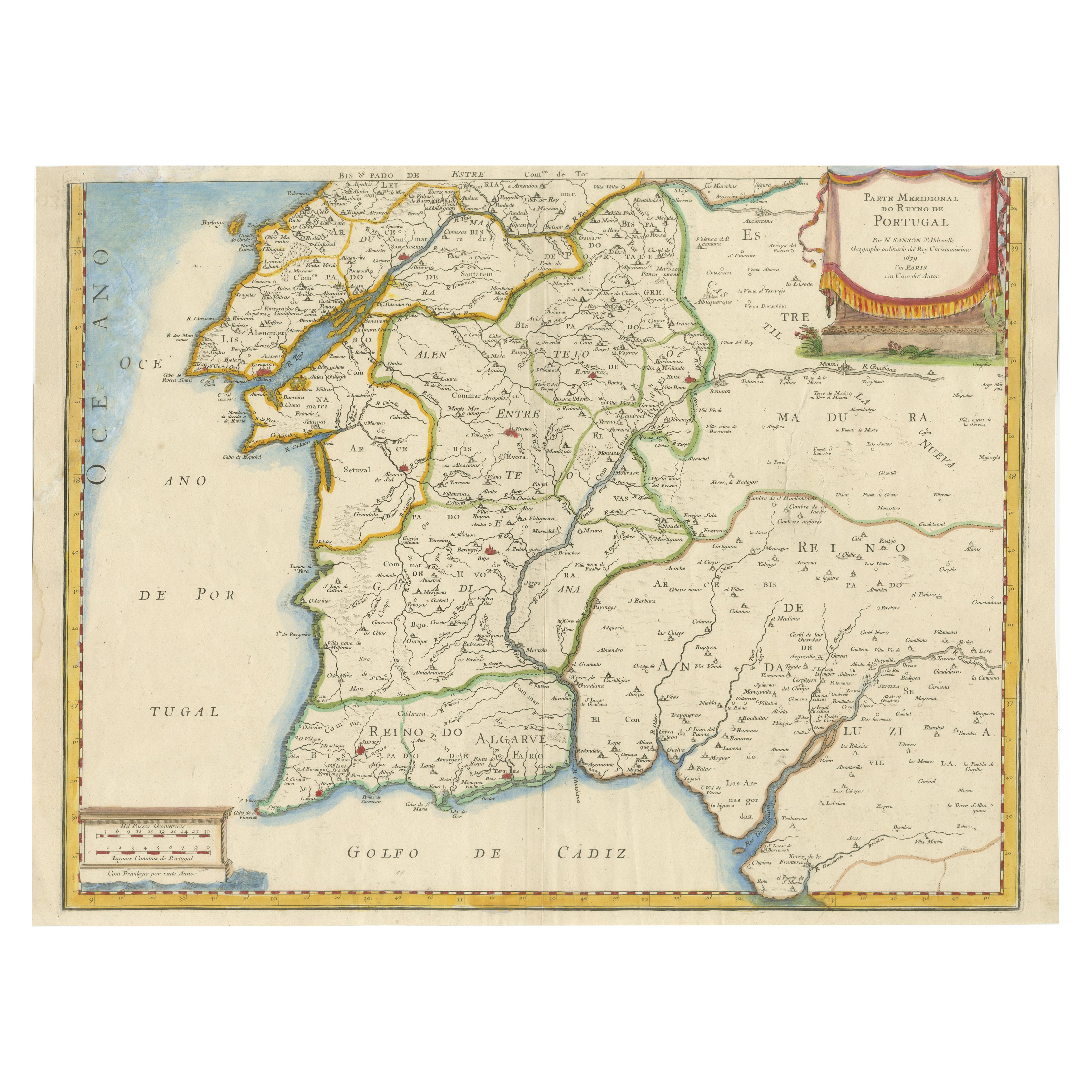
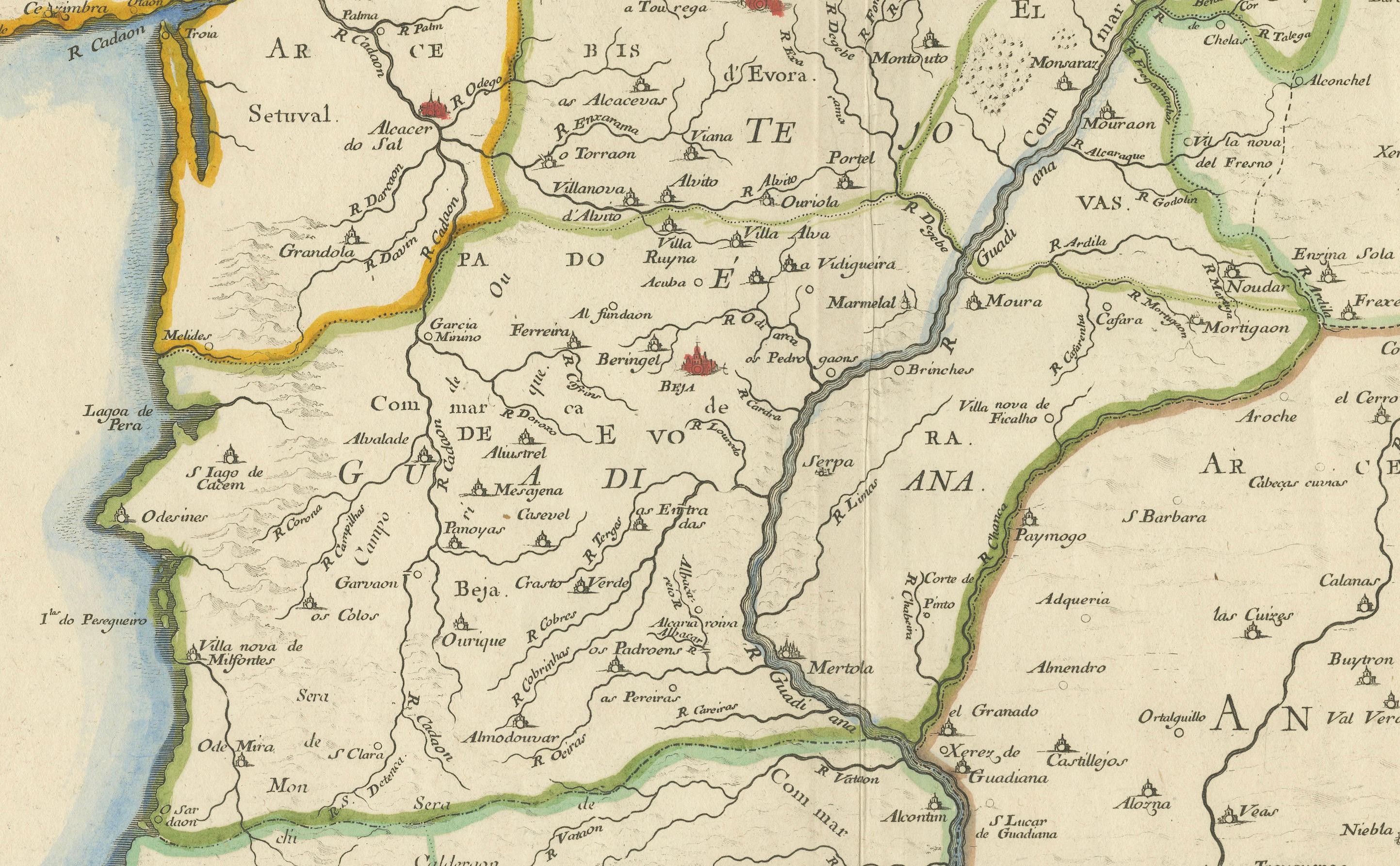
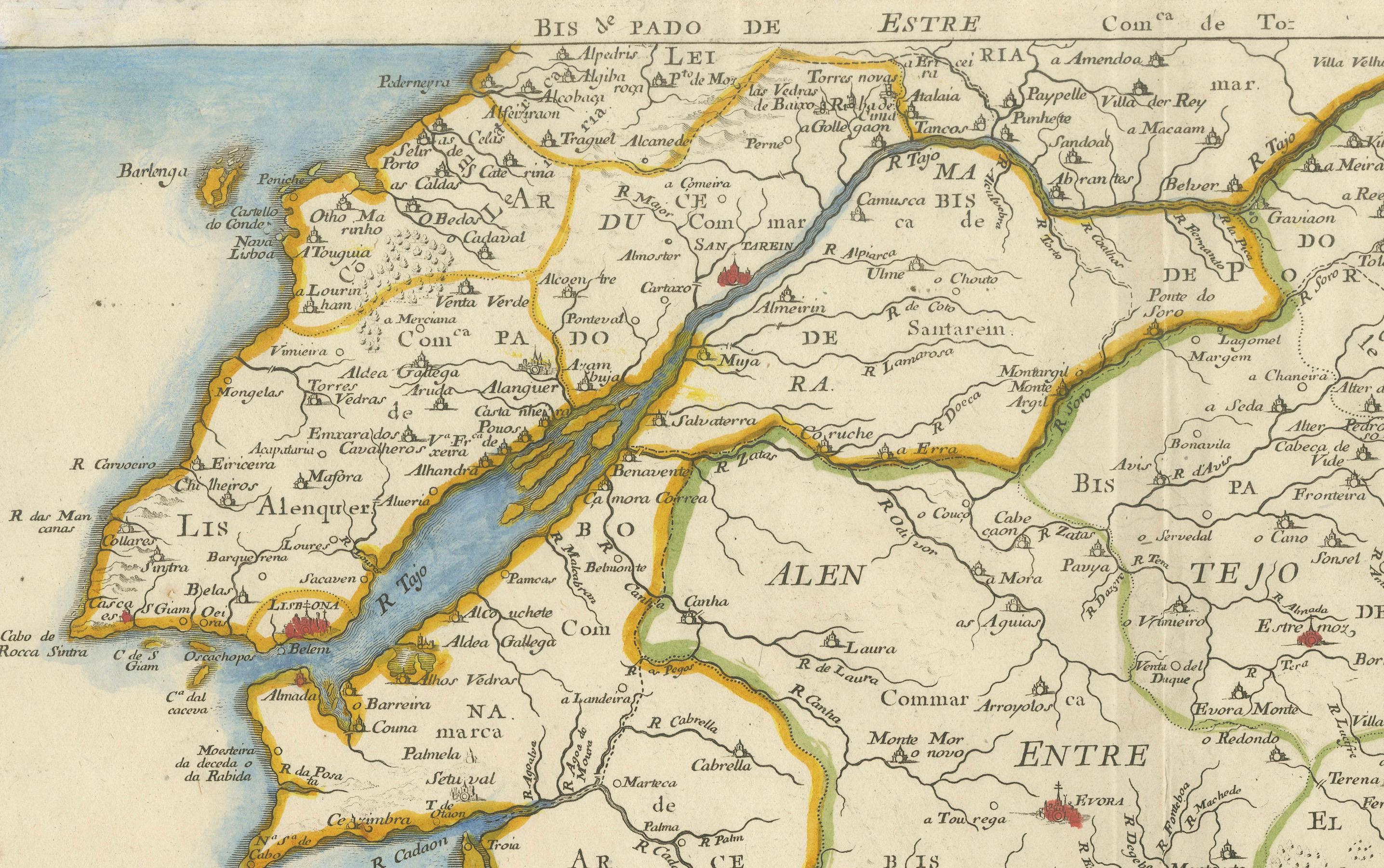
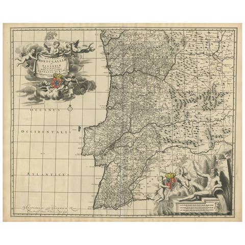
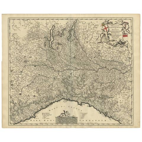
This stunning 1679 map of Portugal offers a captivating glimpse into the past, showcasing the country's geography as it was understood over three centuries ago. Spanning the entire western coast of the Iberian Peninsula, the map meticulously details regions such as Entre Douro e Minho, Beira, Estremadura, Alentejo, and the Algarve, each delineated with vibrant yellow and green borders. The Atlantic Ocean, labeled as "Oceano de Portugal" and "Tugal," frames the western edge, while the Gulf of Cadiz graces the southern boundary, adding a nautical allure to the composition. Intricate place names like Lisbon, Setubal, and Evora are scattered across the landscape, accompanied by a network of rivers, mountains, and towns, all rendered in delicate hand-colored lines and shading.
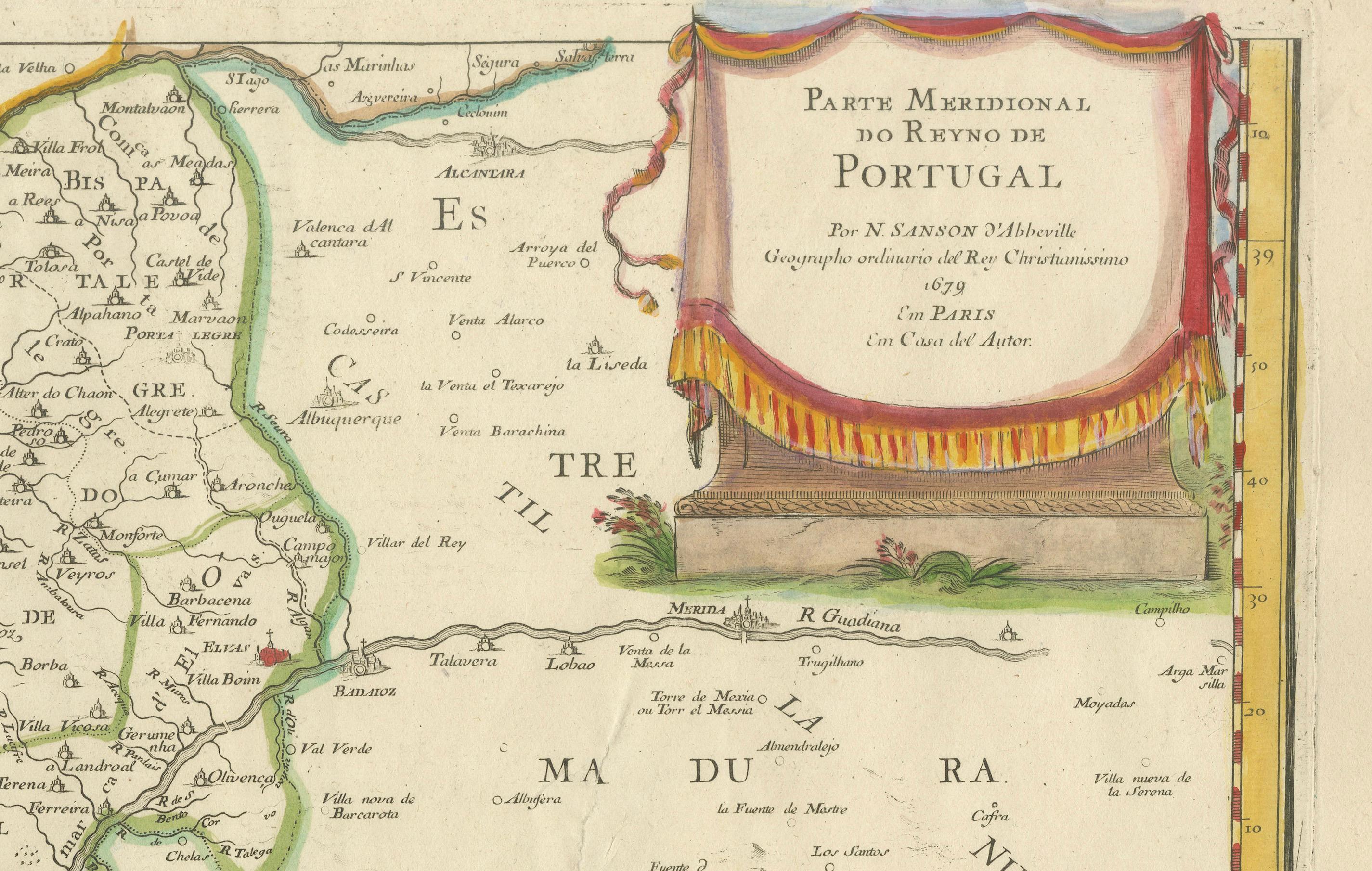
What makes this print particularly intriguing is its historical context and artistic execution. Created in an era when cartography was both a science and an art form, the map reflects the knowledge and exploration of the time, with some regions depicted with a charmingly approximate accuracy. The ornate cartouche in the upper right corner, adorned with a decorative drape and title "Parte Meridional do Reyno de Portugal," serves as a focal point, hinting at the map's royal patronage and its purpose as both a functional tool and a decorative piece. Red dots marking key locations add a touch of visual interest, drawing the eye across the terrain.
The map depicts the southern portion of Portugal, including:
Lisbon (Lisbonne) and the surrounding regions like Setúbal, Alentejo (ALEN), and the Ribatejo.
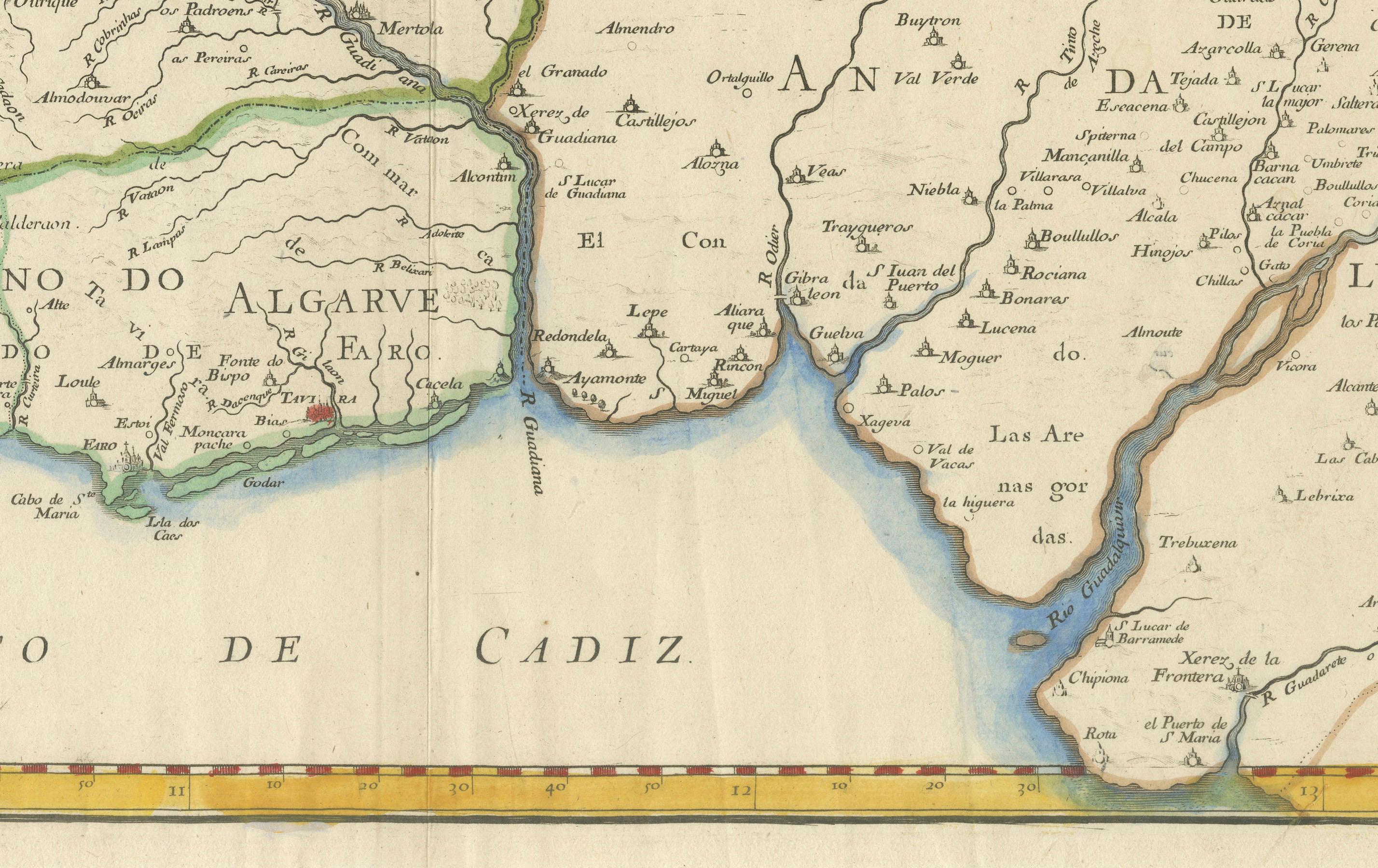
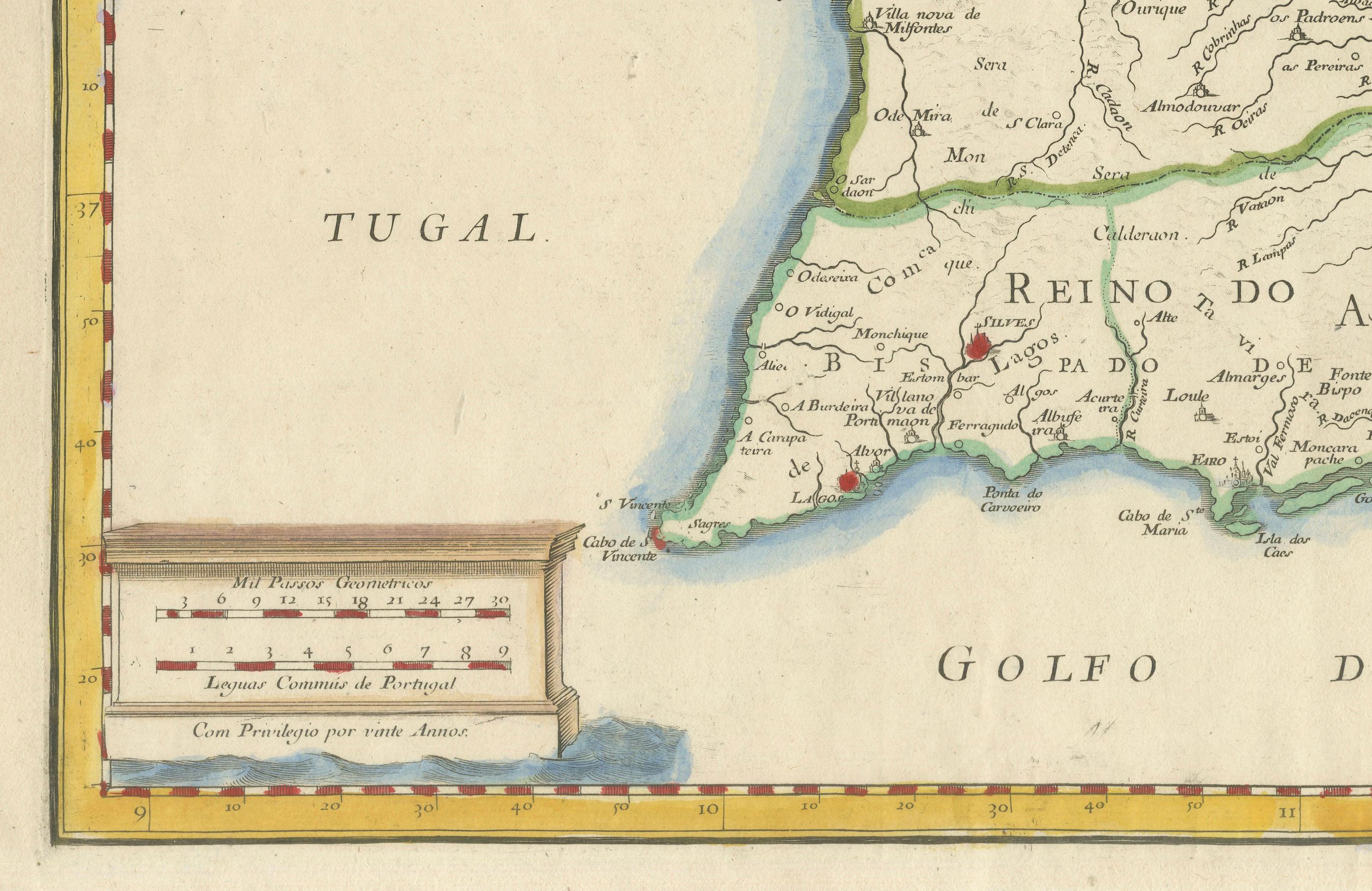
The Algarve region at the bottom, labeled "Reino do Algarve".
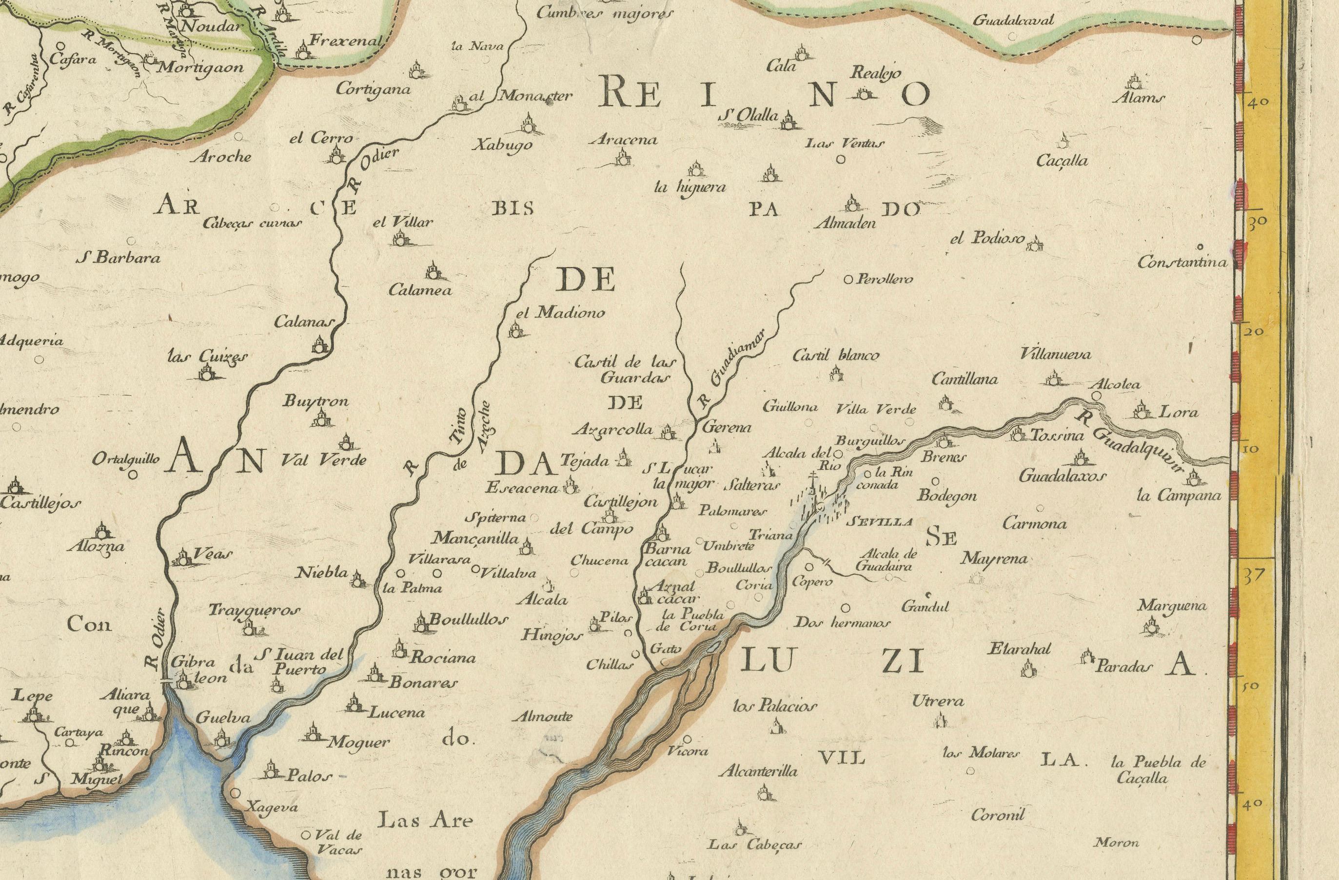
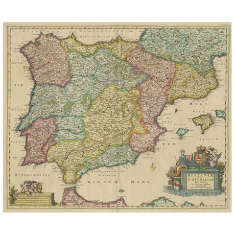
Border regions of Spain such as Andalusia and Extremadura.
Major rivers like the Tejo (Tagus) and Guadiana are prominently shown.
Cities such as Évora, Beja, Faro, Tavira, and Portalegre are labeled.
Coastal features like Cabo de São Vicente and Golfo de Cádiz are identified.
For a potential buyer, this map is a treasure trove of historical insight and aesthetic appeal. It offers a window into 18th-century Portugal, a period of maritime prowess and cultural richness, making it an ideal addition to a collection of antique maps or a study of European history. The aged parchment texture, combined with the hand-colored details, lends an authentic antique charm that modern reproductions struggle to replicate. Whether displayed in a study, library, or gallery, this map promises to spark conversations and admiration, blending educational value with timeless elegance.
Condition Summary
The print is in fair condition for its age, with some expected wear. There are no significant visible tears or losses, but a weaker area has been supported with archival tape on the reverse. The hand-colored elements remain vivid, and the text is legible, preserving the map's historical integrity.
Framing Tips
To preserve and showcase this print effectively, use acid-free matting and backing to protect the paper from further deterioration. A simple, elegant wooden frame in a neutral tone like walnut or oak will complement the map's antique style without overpowering it. Ensure the frame size allows for a generous border around the map to highlight its detailed edges and cartouche. Hang the print in a location away from direct sunlight and humidity to maintain its condition over time.