About this sheet
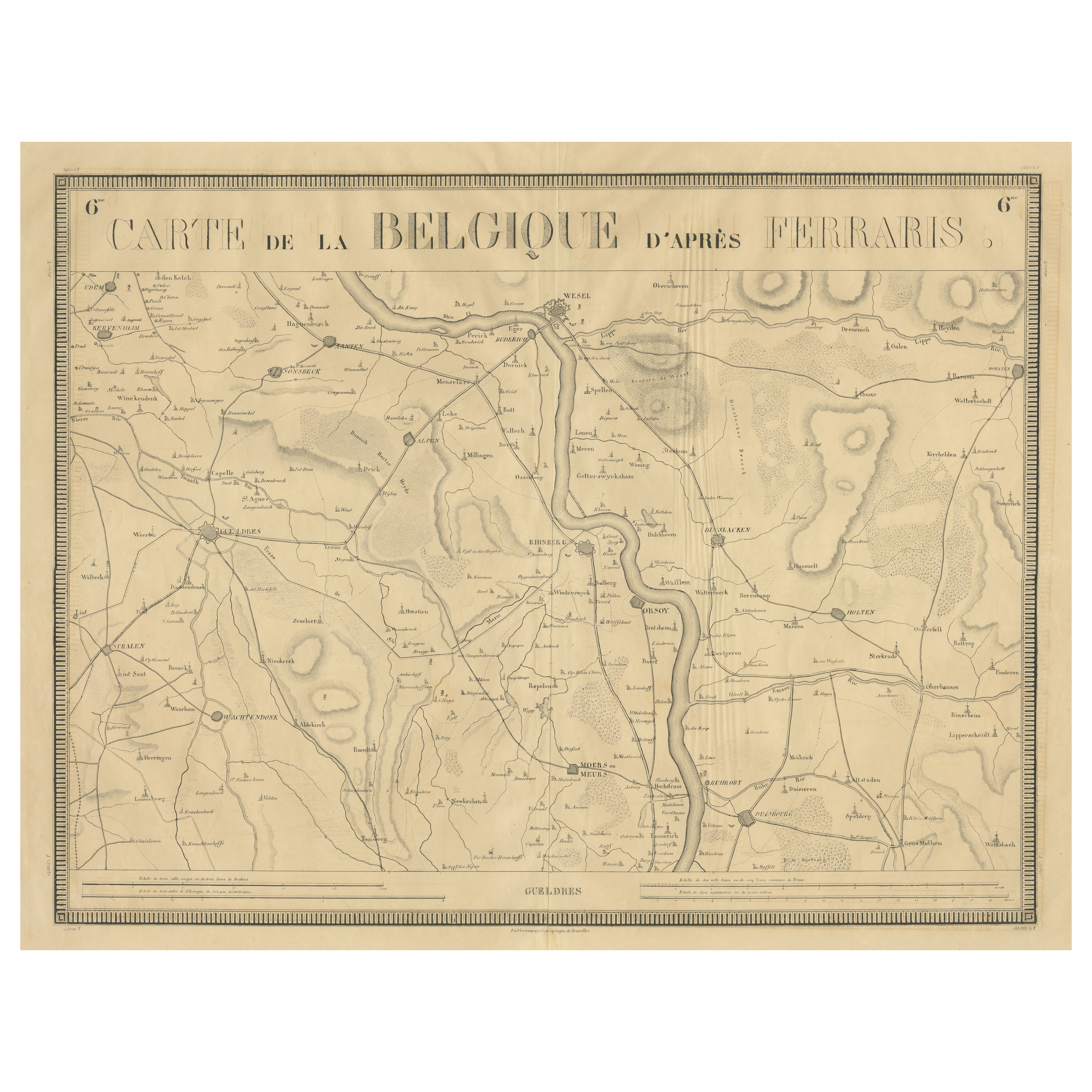

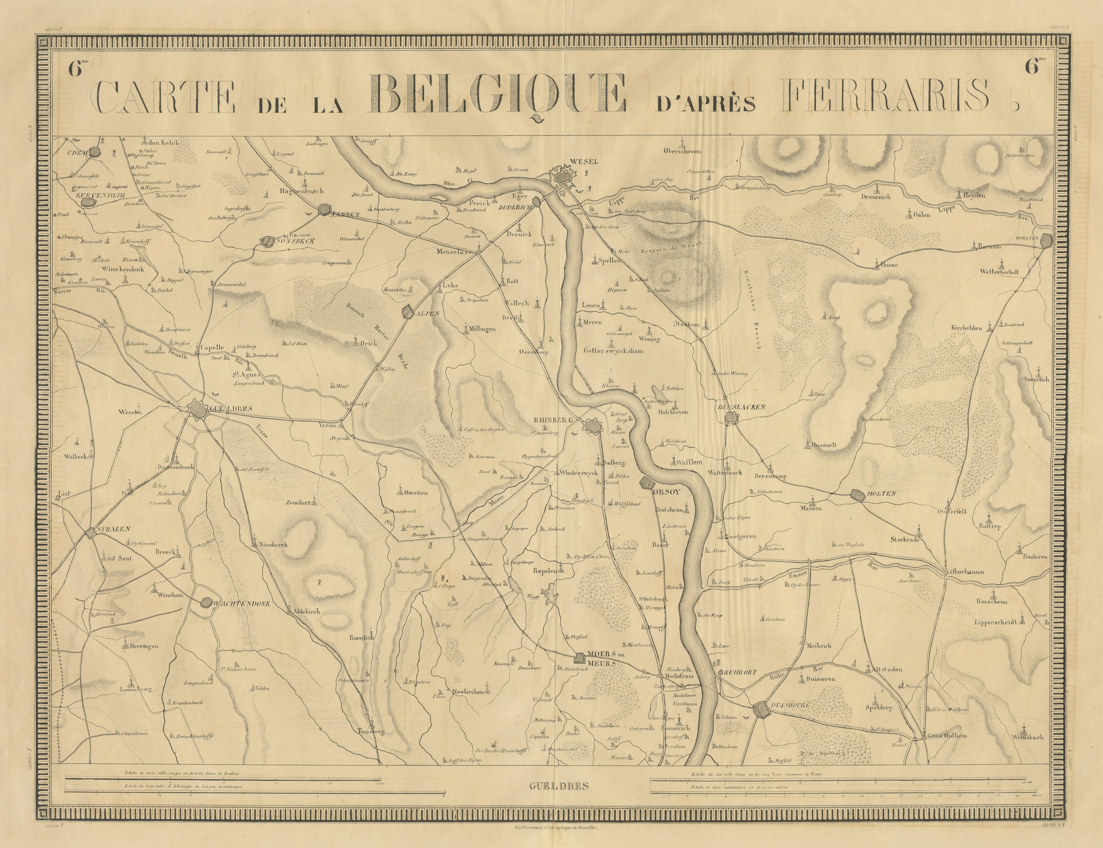
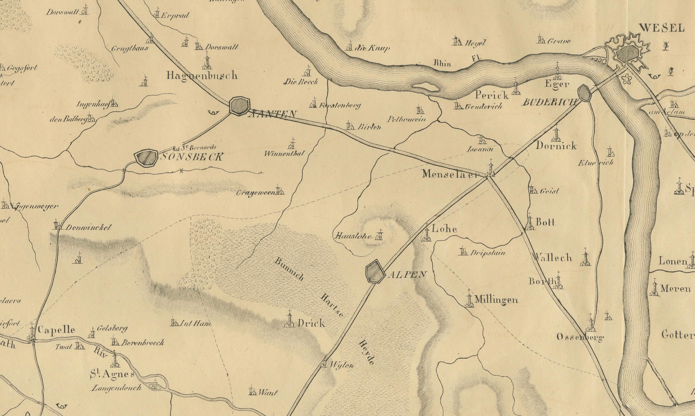
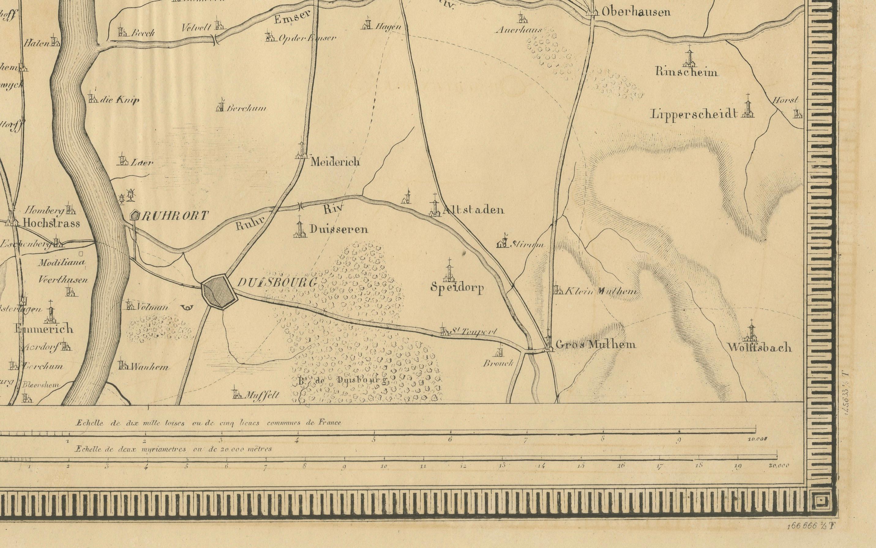
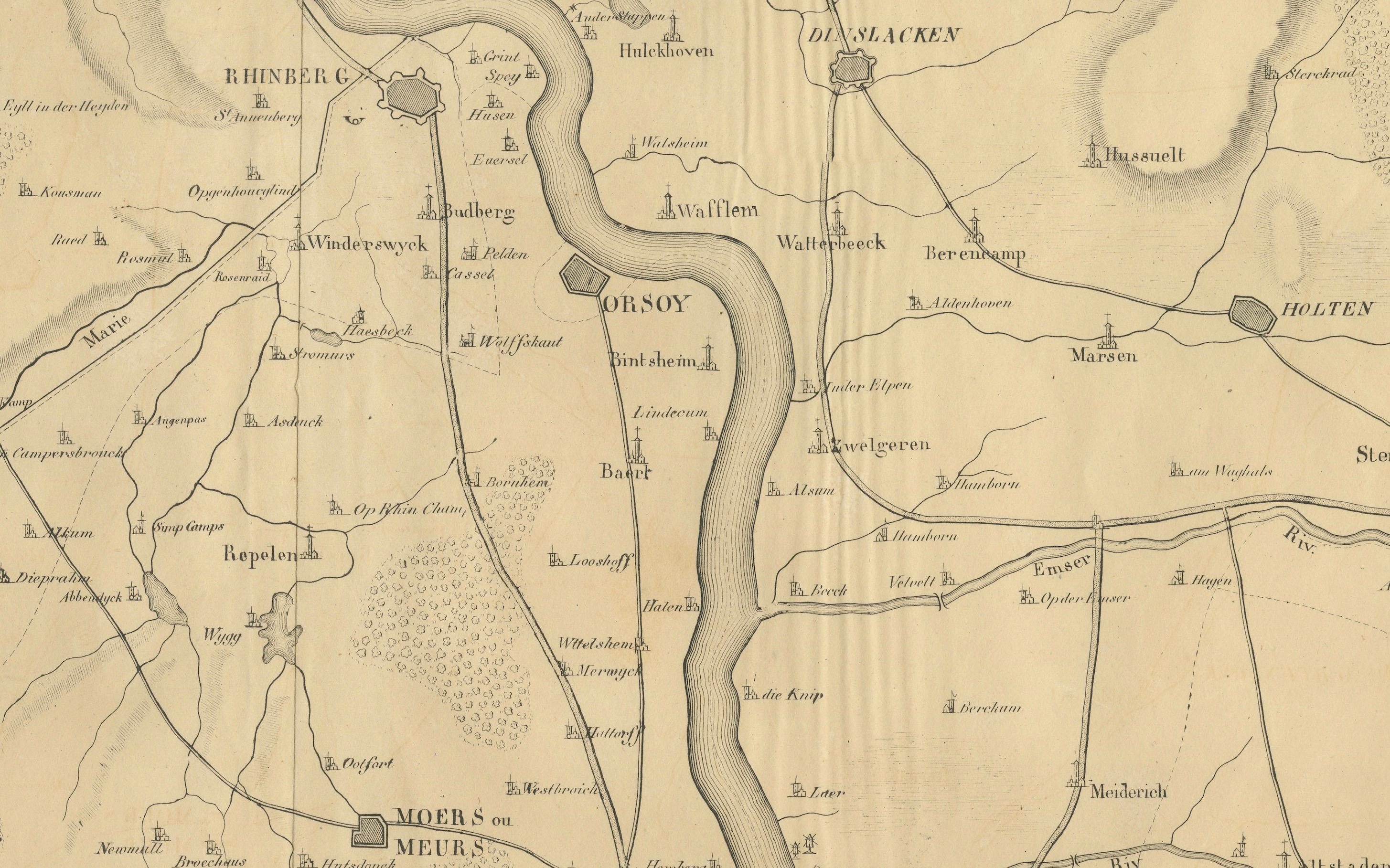
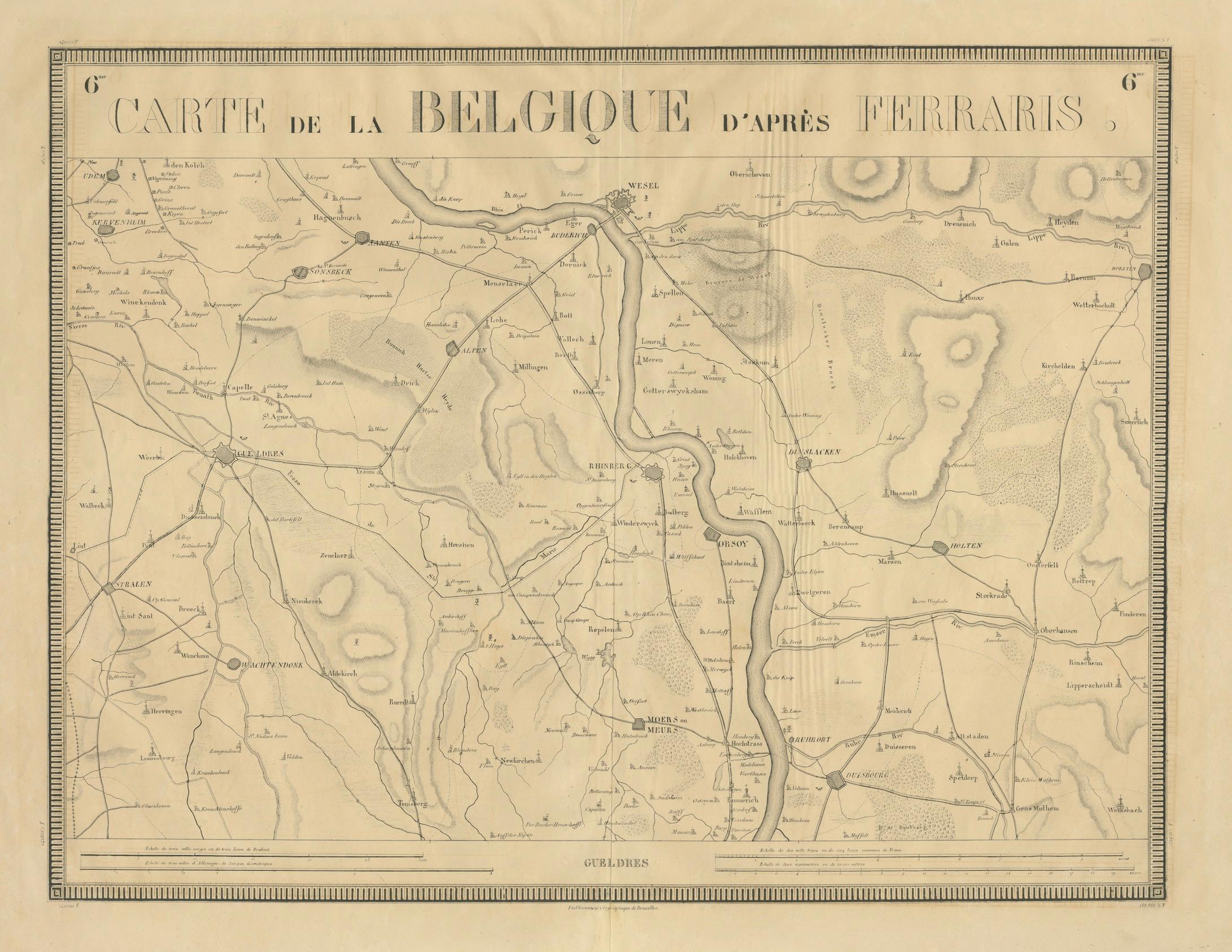
This is an antique map titled "Carte de la Belgique d'après Ferraris", which translates to "Map of Belgium according to Ferraris." The map, created around 1821, covers the course of the Rhine River from Duisburg to Wesel, showing the areas on both sides of the river, including cities such as Xanten, Dorsten, Straelen, and Oberhausen.
The map is based on the original cartography of Joseph de Ferraris, who created an extensive survey of the Austrian Netherlands (which included modern Belgium) between 1771 and 1778. The map was lithographed by Philippe Marie Guillaume Vandermaelen, a notable Belgian cartographer and publisher active during the early 19th century. His works were known for their precision and comprehensive geographical detail.
Features:
- Geographical Focus: The map emphasizes the layout of cities and topographical features along the Rhine River in the regions bordering Belgium and Germany.
- Style: The map is cleanly rendered with detailed lines and clear labeling of towns, rivers, and borders, reflecting early 19th-century cartographic methods.
- Lithography: Vandermaelen's lithographic technique showcases the high level of craftsmanship in the reproduction of maps during this period.
Despite being published in the early 19th century, this map reflects the detailed and precise cartographic traditions that began in the late 18th century, making it a valuable historical resource for understanding the geography of the Rhine region during this period.