Maps & PrintsBartele Gallery · Langweer
Home / Antique Maps / Asia / West Asia & the Holy Land

West Asia & the Holy Land

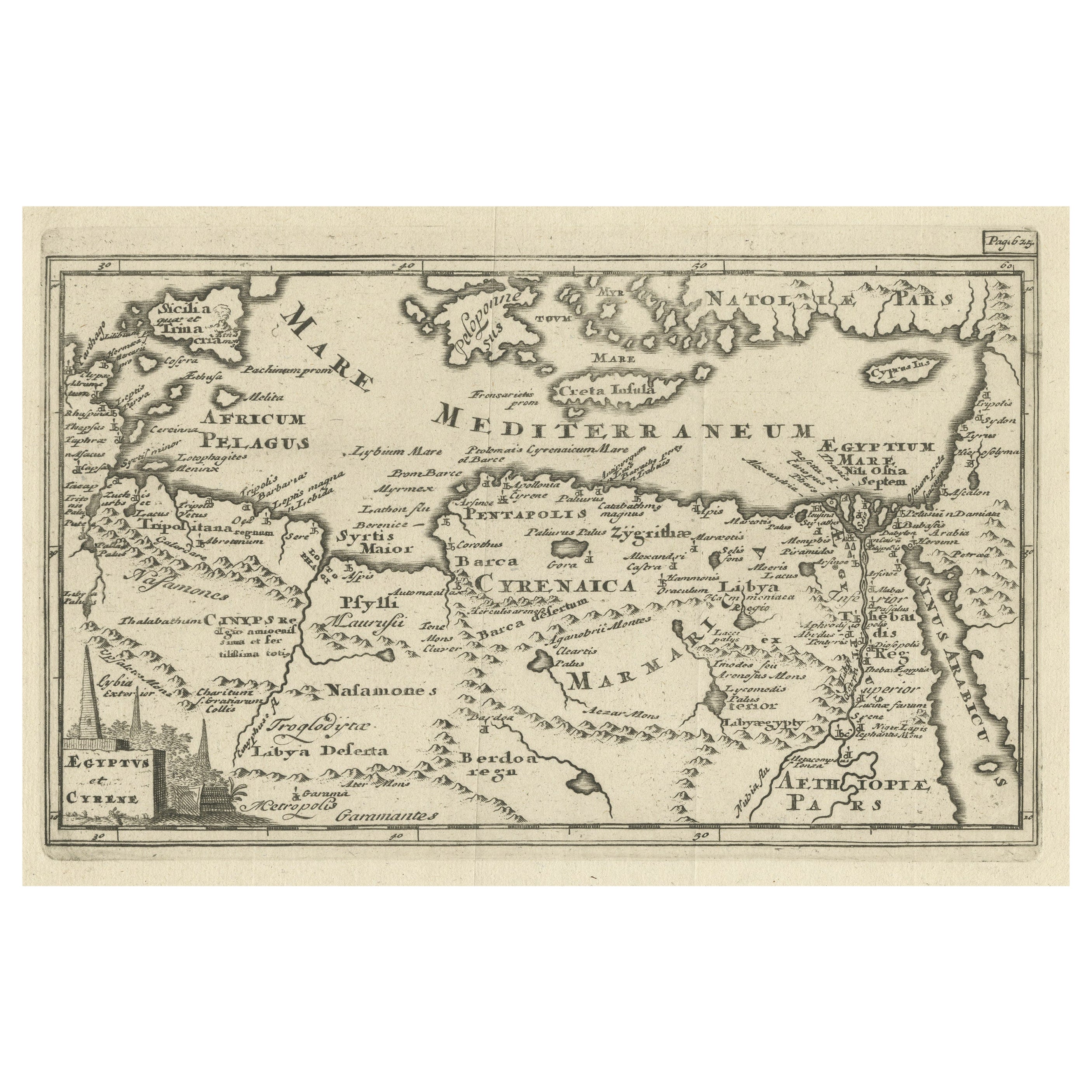
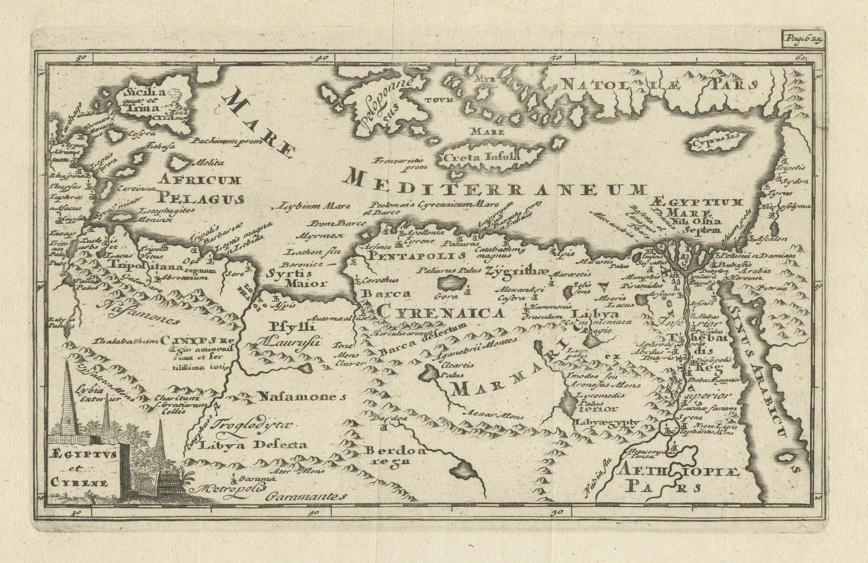
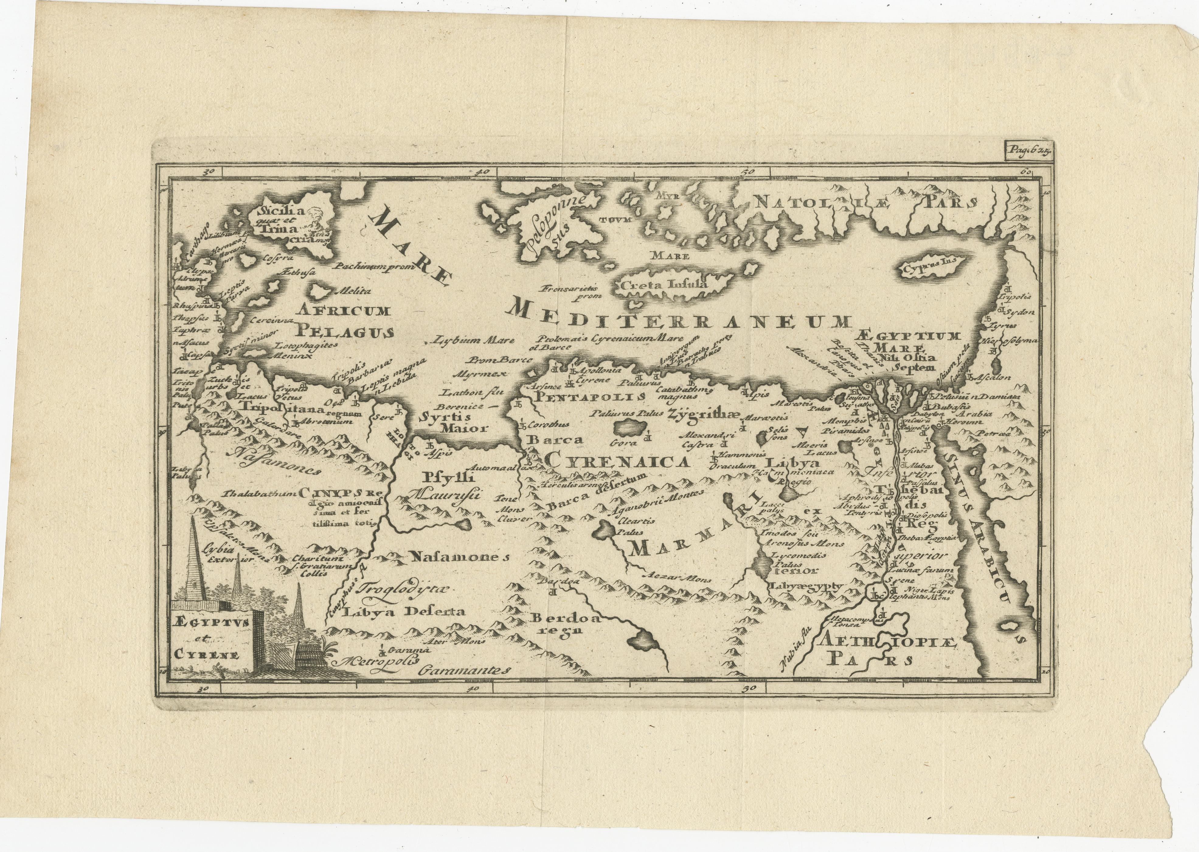
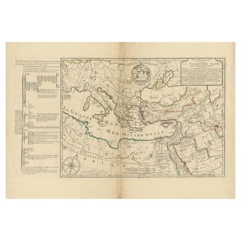
Original Antique Map of the Region Between the Gulf of Lybia and the Red Sea

€ 420

One of a kind: this is the sheet in the photographs. Ships from Langweer, the Netherlands.

Sheet size
19.2 × 28.3 cm (7.6 × 11.1 in)
Condition
Good
Reference
BG-13189-6

Condition

Wear consistent with age and use. General age-related toning. Original folding lines. Defect right margin. Minor wear, blank verso. Please study images carefully.
About this sheet

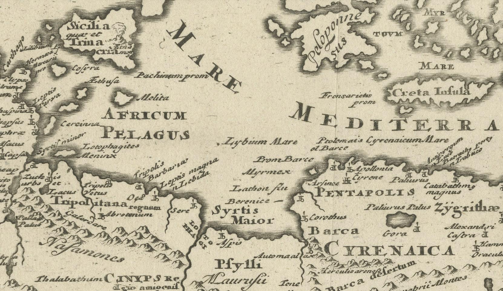
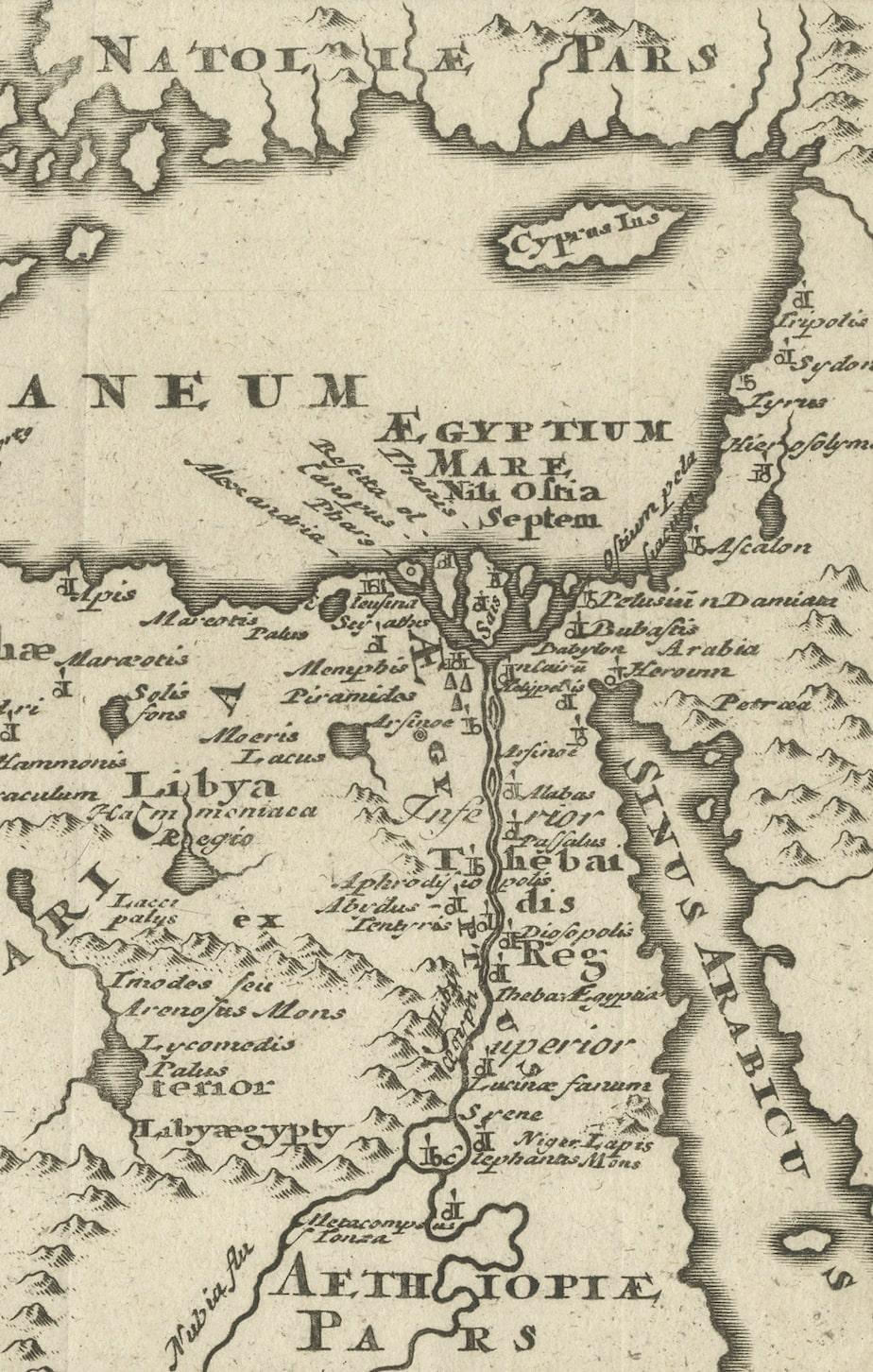
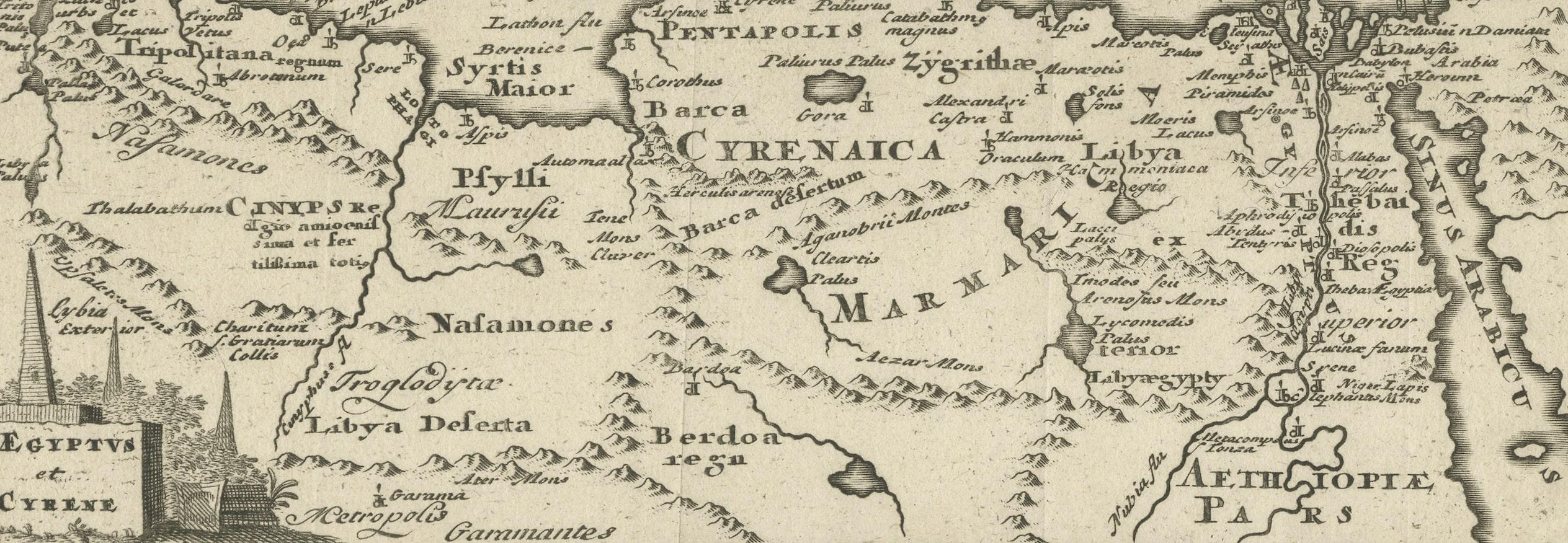
Original antique map titled 'Aegyptus et Cyrene'. Detailed ancient map of the region between the Gulf of Lybia and the Red Sea, with marvelous detail along the Mediterranean Coastline and the Nile, Egypt. This map originates from 'Philippi Cluveri Introductionis in universam geographiam (..)' by P. Clüver. Published 1729.

Philipp Clüver was an Early Modern German geographer and historian. Cluver's Geography was one of the most enduring works of the 17th & 18th Centuries, issued by several different publishers with many different sets of maps over nearly 200 years.

More from West Asia & the Holy Land

Ask about this sheet

Original Antique Map of the Region Between the Gulf of Lybia and the Red Sea
Ref. BG-13189-6 · € 420
We reply by email, usually within one working day.