About this sheet
Mount Sinai & St. Catherine's – Antique Map of the Sinai Monasteries, 1776
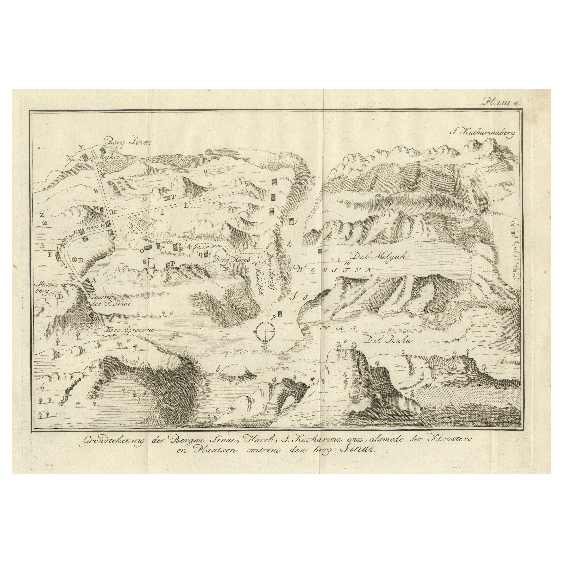
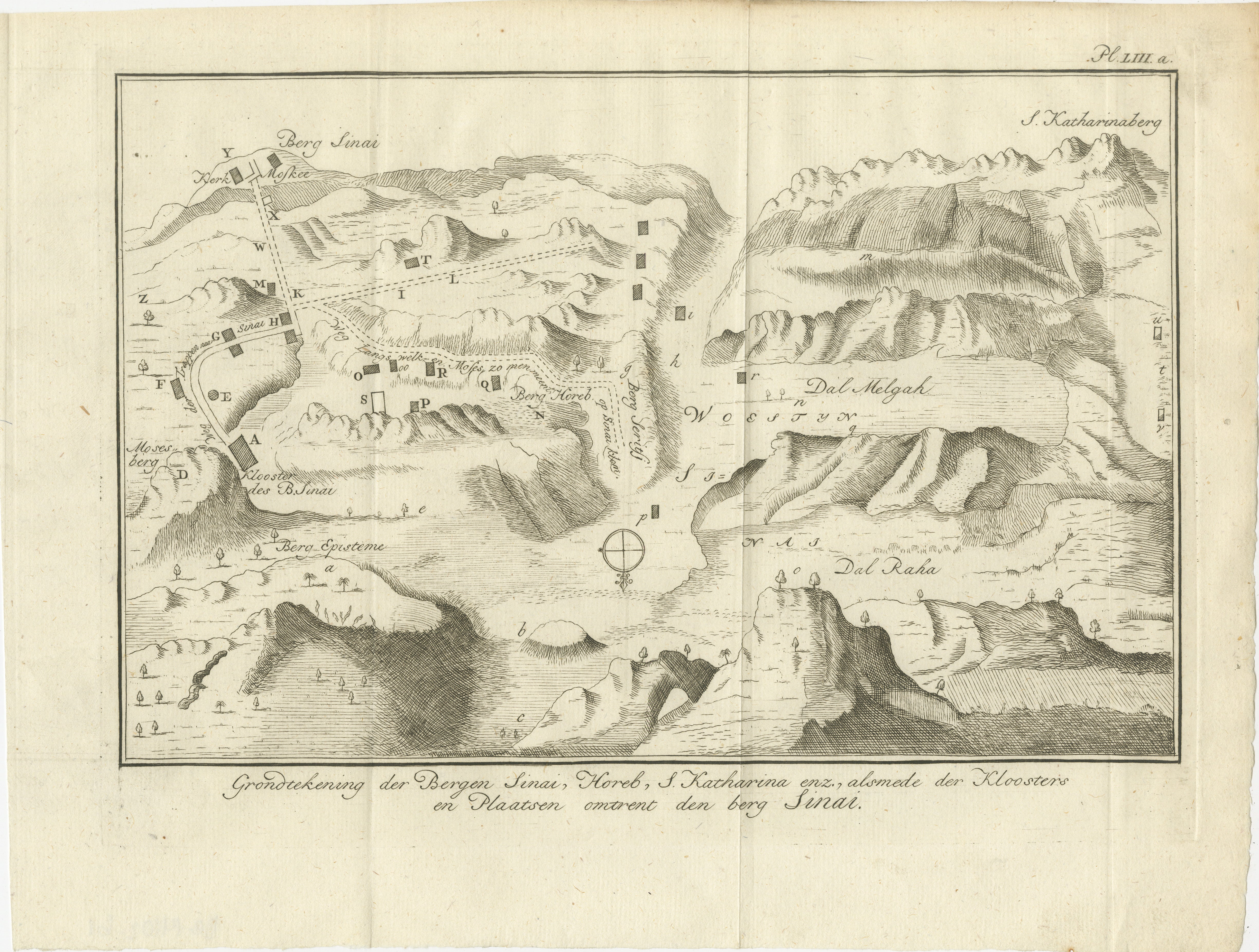
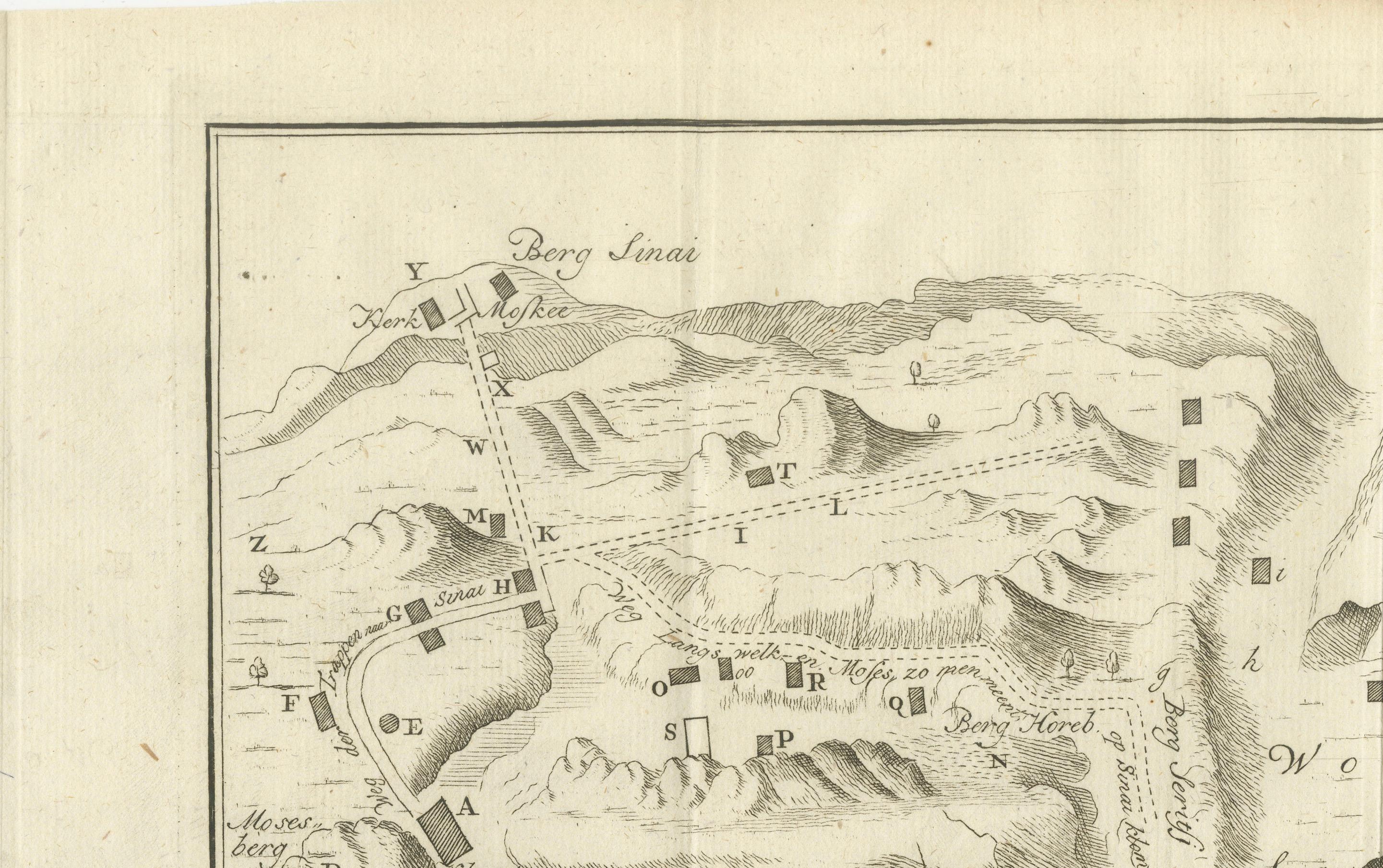
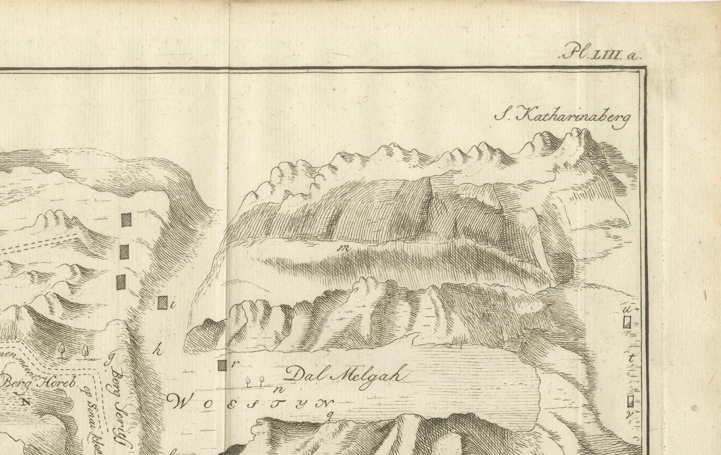
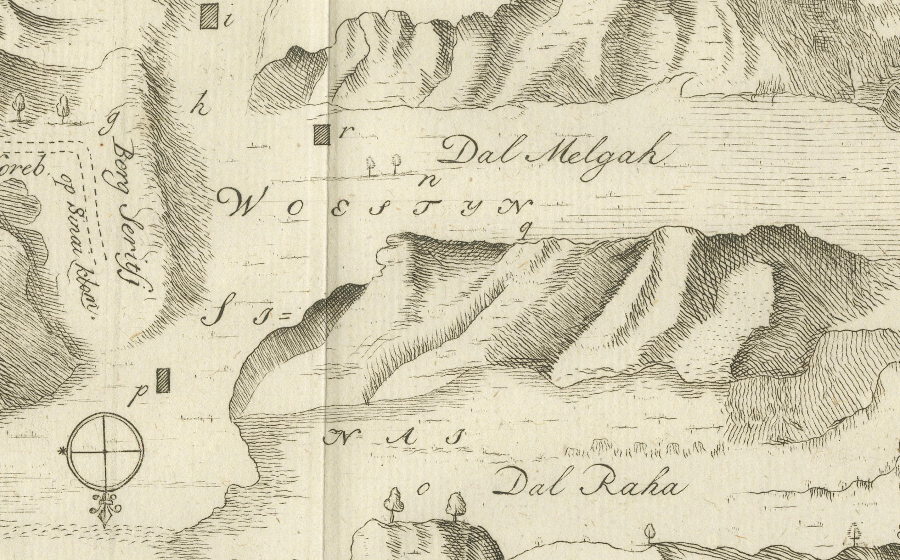
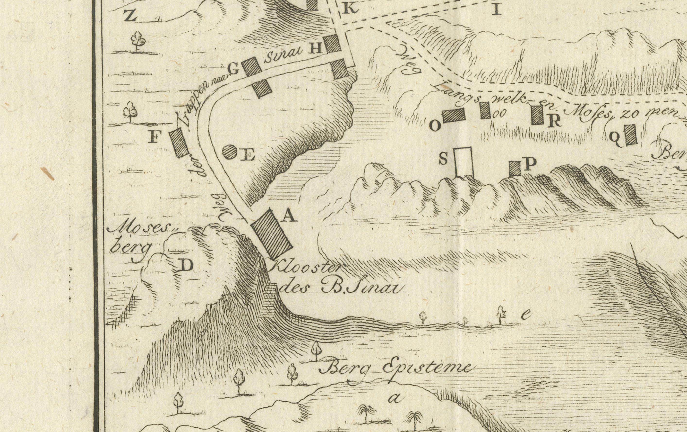
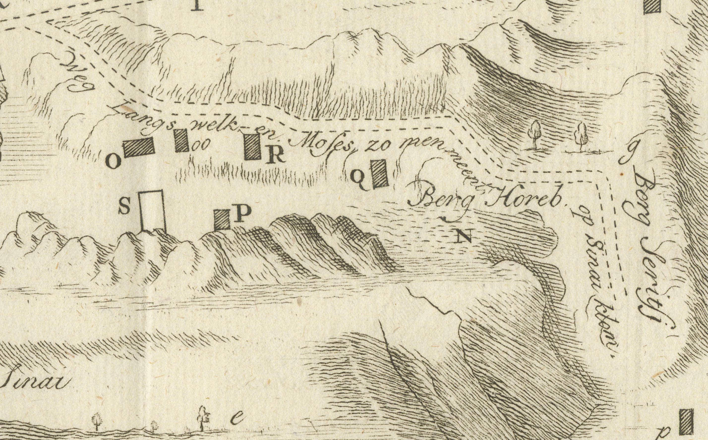
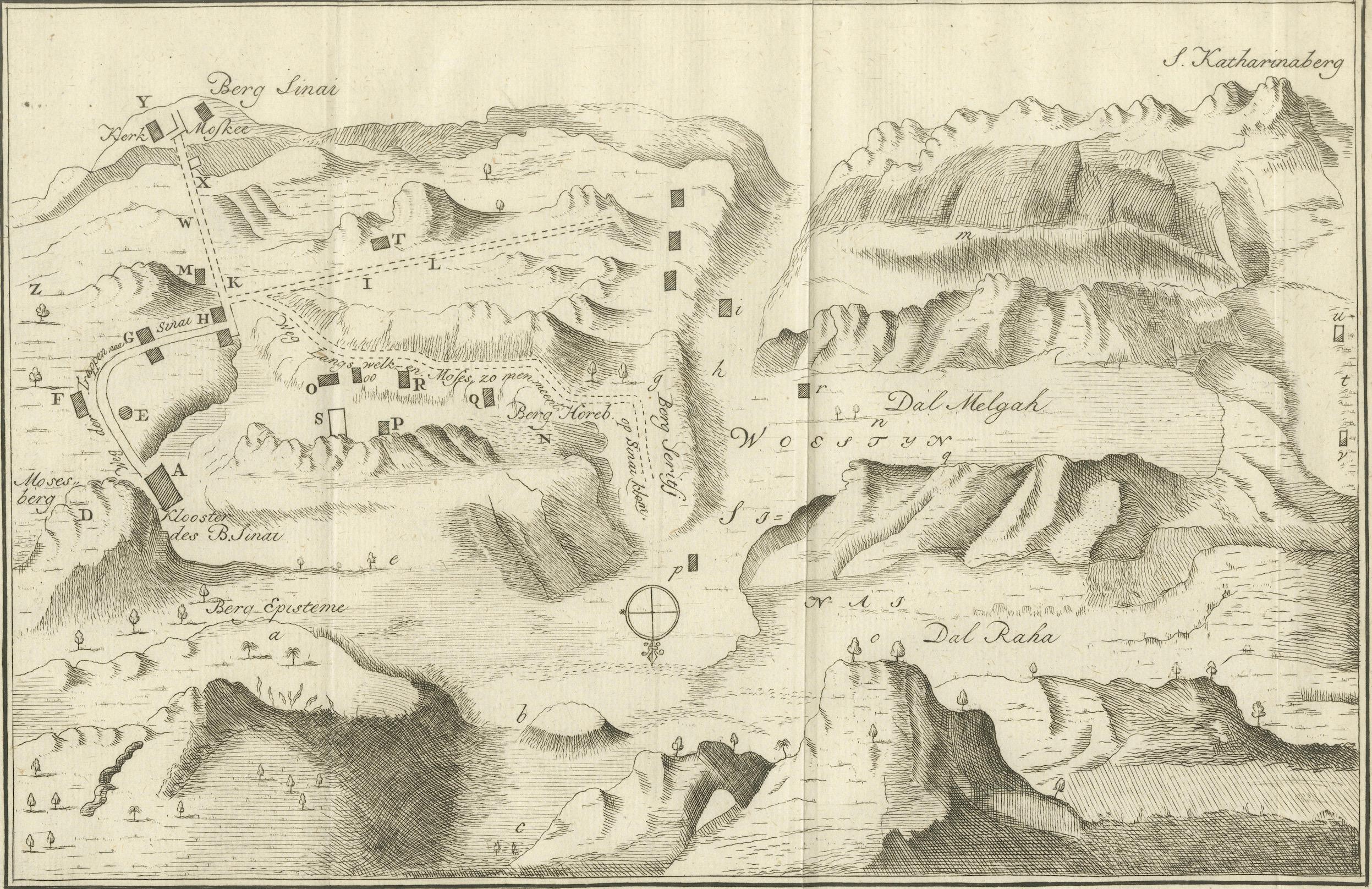
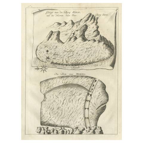
This finely engraved antique map depicts the mountainous region of the Sinai Peninsula, focusing on Mount Sinai (Berg Sinai), Mount Horeb, and the famed St. Katharina-berg (Mount Saint Catherine), as well as the surrounding valleys, peaks, and monastic sites. Titled in Dutch: "Grondteekening der Bergen Sinai, Horeb, S. Katharina enz. alsmede der Kloosters en Plaatsen omtrent den berg Sinai," it translates to: “Ground plan of the Mountains Sinai, Horeb, St. Catherine etc., including the monasteries and places around Mount Sinai.”
The map originates from the 1776 Dutch edition of Richard Pococke’s monumental travel work Beschryving van het Oosten ("Description of the East"), translated and annotated by Ernst Willem Cramerus. Pococke’s documentation of the Near East was one of the most detailed of the 18th century, combining topographical, archaeological, and biblical observations.
Among the prominent features on the map are:
* *Berg Sinai* (Mount Sinai), the traditional site where Moses received the Ten Commandments
* *St. Katharina-berg*, the highest peak in Egypt
* *Dal Raha* and *Dal Melgah*, surrounding valleys
* *Berg Horeb* and *Mosesberg*, biblical landmarks
* Various small structures denoting *kloosters* (monasteries), cells, and ancient ruins
A compass rose orients the viewer, and mountain ranges are rendered in stylized relief, with pathways and key locations marked by letters corresponding to a legend (possibly included in the text volume). This engraving serves not only as a geographical guide but as a valuable historical and devotional document reflecting Enlightenment-era exploration and religious scholarship.
Condition report:
Very good condition with some minor age-related toning and a central fold as issued. Paper is strong, and margins are intact. Plate mark clearly visible. No tears or repairs noted.
Framing tips:
A subtle cream mat and natural wood or black frame would elegantly enhance this piece. Consider float-mounting to reveal the plate edges, preserving its antique authenticity.
Technique: Engraving
Maker: Richard Pococke, London (Dutch edition published 1776)