maps-prints.com
✦
Black Friday Sale
Friday 20 to Monday 30 November: up to 30% off original antique maps and prints
The terms
- Up to 30% off selected original antique maps and prints. Every piece is an original, printed in its own time; none is a reproduction.
- The sale runs from Friday 20 November to Monday 30 November. Sale prices shown here apply from Friday 20 November; until then pieces are sold at their regular price.
- Free FedEx shipping on qualifying orders placed on our own websites: USA, Canada, UK and Europe over $500 / €450; rest of the world over $750 / €675. Smaller orders pay our normal shipping rate.
- Orders placed from 15 to 30 November ship from 1 December, in time for Christmas. Our shipping partner is InXpress.
- Each piece is unique, so the sale is while stock lasts.
Collection:AllAmericanSea chartsMilitaryNatural historyFashionArchitectureBotanicalSacredEast Indies
Sale prices apply from Friday 20 November. Save the pieces you like with the heart and come back on Friday.
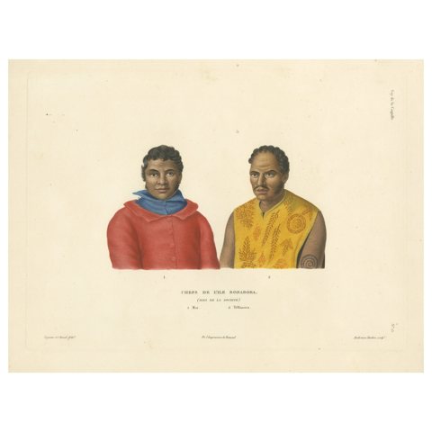 Antique Print of Mai and Téffaanora, Heads of the Island of Bora Bora
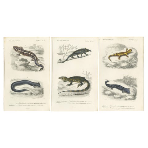 Set of 3 Antique Prints of a Chameleon and Other Reptiles
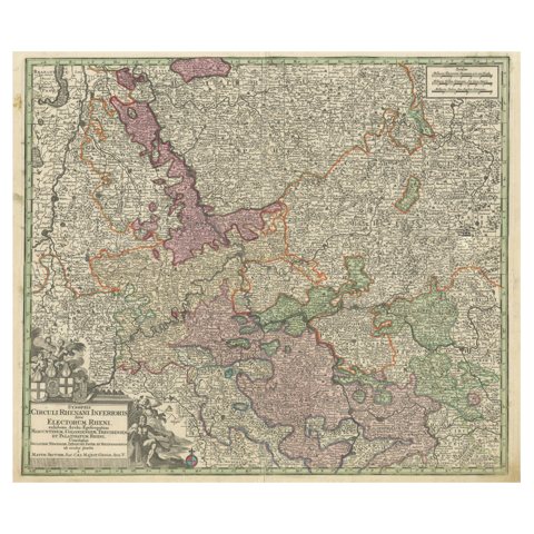 Antique Map of the Course of the Rhine from Philippsburg to Duisburg, Germany
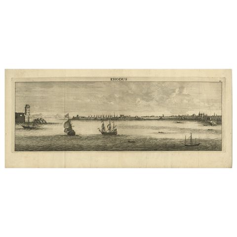 Beautiful View of Rhodes, Greece, depicting the Old Town with Fort, 1698
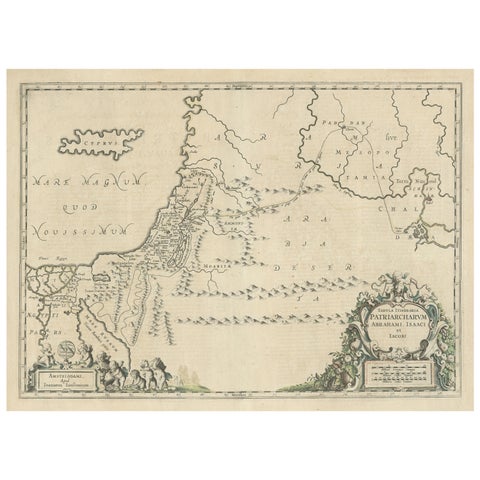 Antique Map of the Holy Land, showing the travels of Abraham, Isaac and Jacob
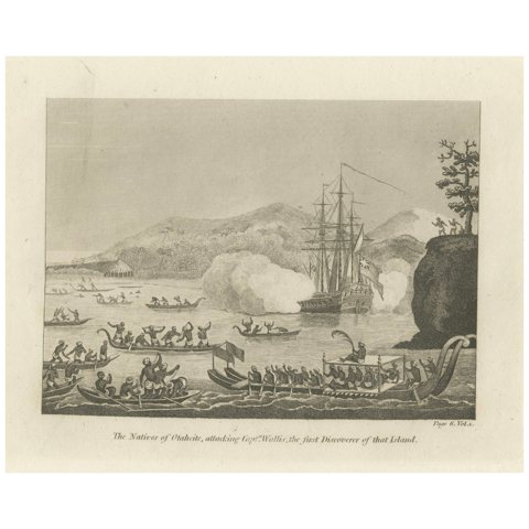 Encounters at Dawn: The Standoff at Tahiti with Captain Wallis Engraved, 1801
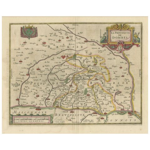 The Principality of Dombes: A 17th-Century Cartographic Jewel by Jan Jansson
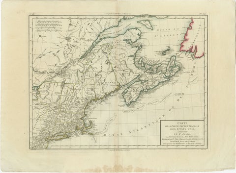 Antique Map of the Northeastern United States and Canada by Tardieu, 1802
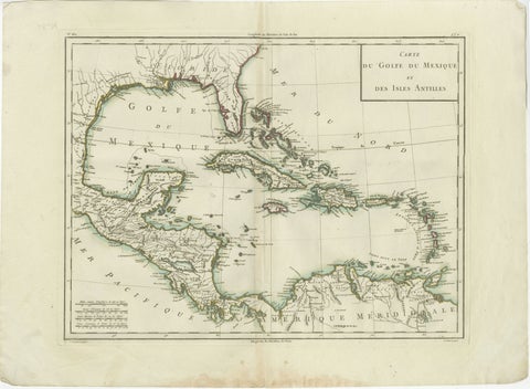 Antique Map of the Gulf of Mexico and Caribbean Islands by Tardieu, 1802
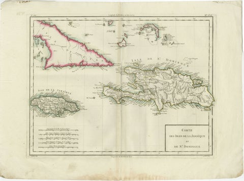 Antique Map of Jamaica and Hispaniola (Saint-Domingue and Santo Domingo), 1802
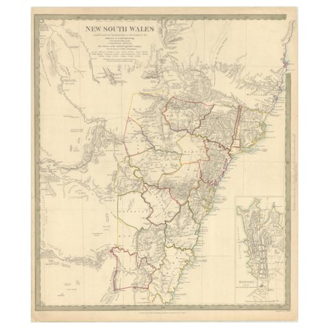 Detailed Map of New South Wales, Australia from 1833 by SDUK
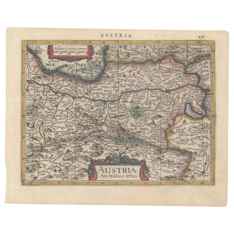 1634 Mercator/Jansson Map: Eastern Austria with Vienna, Hand-Colored
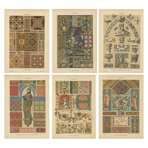 Extensive Collection of Gothic Artwork from Ornamentenschatz, 1887
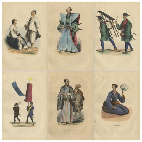 Vibrant Handcolored Depictions of Japanese Costumes from 1844
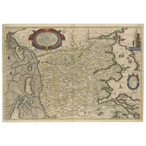 Northern Schleswig and Haderslev Map by Johannes Mejer and Johannes Blaeu, 1662
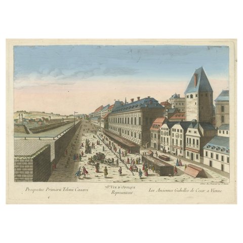 Hand-Colored Optical View of Vienna (Rotenturmstrasse & Leopoldstadt), ca.1780
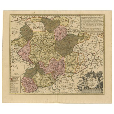 Hand-Colored Map of Westphalia – Copper Engraving by Ottens, Amsterdam c.1720
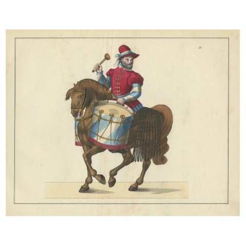 19th-Century Hand-Coloured Print of a Drummer on Horseback in Medieval Attire
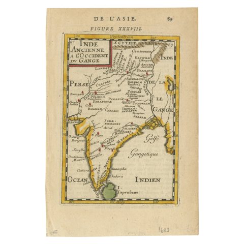 1683 Alain Manesson Mallet Map of Ancient India, the Ganges, and Taprobane
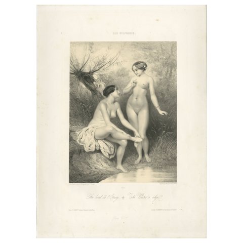 Les Sylphides – The Water's Edge, Romantic Nude Lithograph, Paris circa 1840
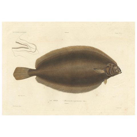 Antique Print of the Icelandic Flounder – Hand-Colored Lithograph, 1845
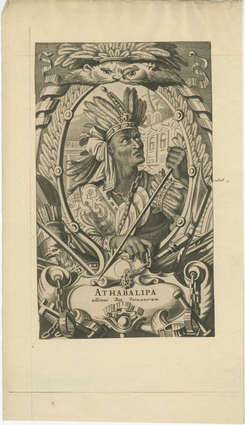 Atahualpa – Last Inca Emperor of Peru – Baroque Engraving c.1700
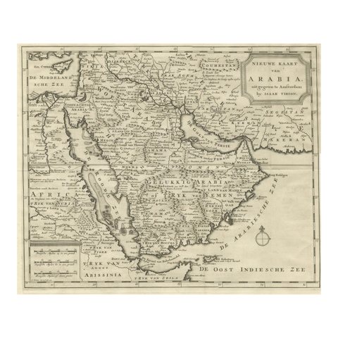 18th Century Map of Arabia – Tirion, Amsterdam c.1730
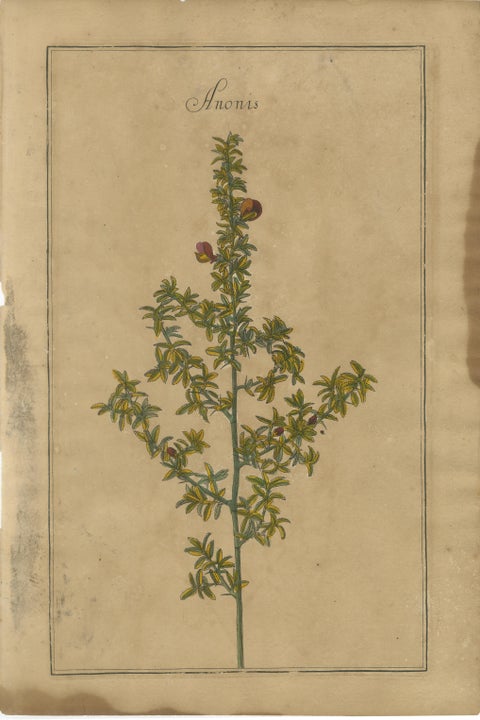 Decorative Set of 3 Antique Botanical Prints, Wildflowers of Leipzig 1690s
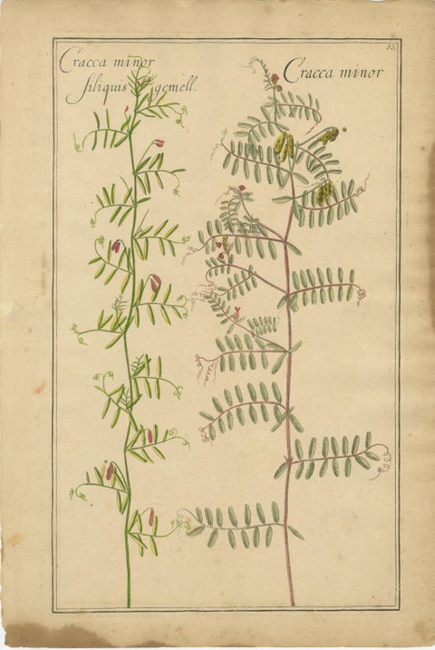 Decorative Antique Botanicals – Cracca, Genista & Coronilla, Leipzig 1690s
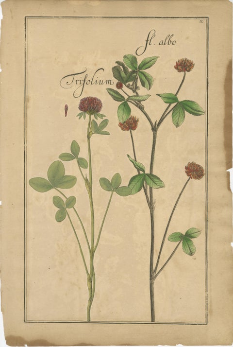 Rare 17th Century Botanicals – Trifolium, Gula Degener & Lotus, Leipzig, c.1690
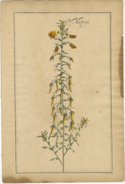 Antique Floral Botanicals – Natrix, Astragalus & Cytisus, Leipzig 1690s
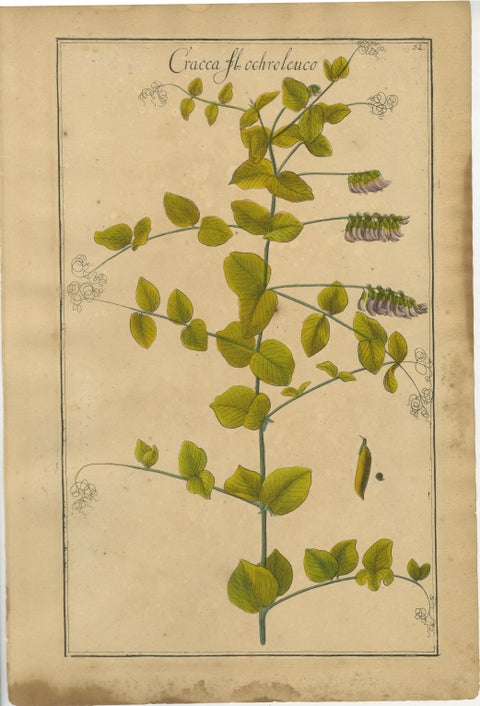 Set of 3 Rare Botanical Engravings – Cracca, Lotus & Foenugracum, ca.1690
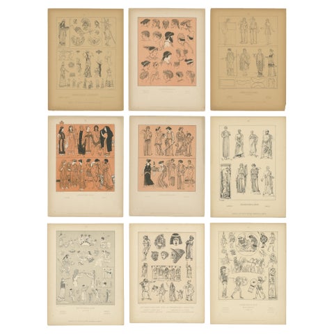 Set of 9 Antique Greek Costume and Antiquity Prints by Wasmuth, Berlin c.1900
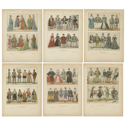 French Renaissance Costumes 1500s – Set of 6 Antique Prints, Published in 1880
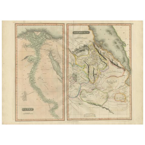 Egypt and Abyssinia – Nile Valley & Horn of Africa Maps, c.1817–1820
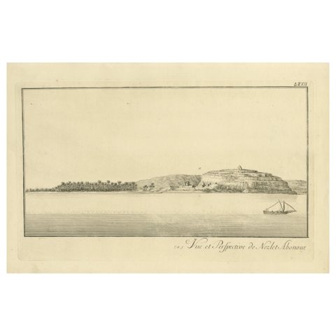 View of Nezlet Abonour on the Nile – Antique Egypt Landscape Engraving, c.1755
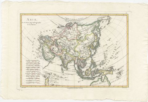 Elegant 18th Century Map of Asia by Rigobert Bonne Showing Siberia & China, 1787
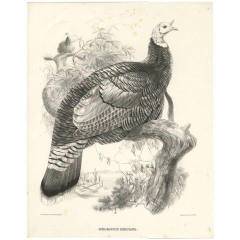 Antique Bird Print of Mexican Turkey, Lithograph, Circa 1868, Rare
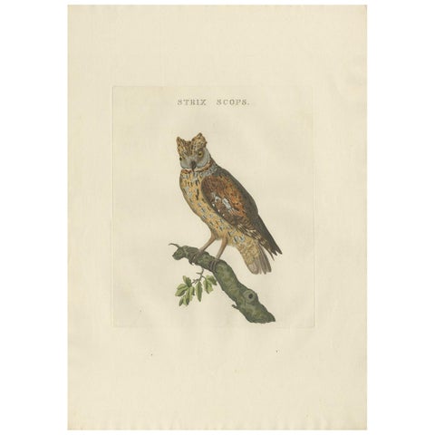 Eurasian Scops Owl Print – Antique Dutch Ornithology by Sepp & Nozeman, c.1770
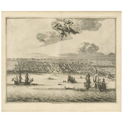 Antique Print of Makassar 'South Sulawesi, Indonesia' by P. van der Aa
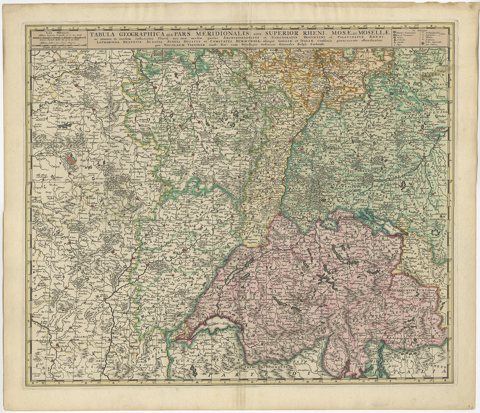 Antique Map of Switzerland by N. Visscher, circa 1690
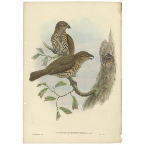 Antique Bird Print of the Tooth-Billed Bower-Bird by J. Gould, circa 1875
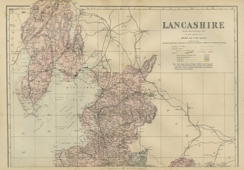 Antique Map of Lancashire on Two Sheets, North and South, 1885
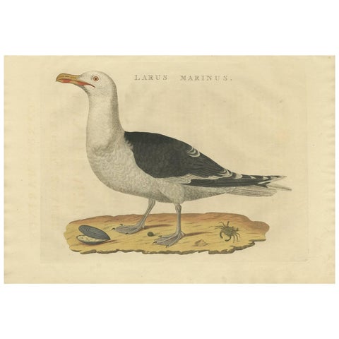 Antique Bird Print of the Great Black-Backed Gull by Sepp & Nozeman, 1829
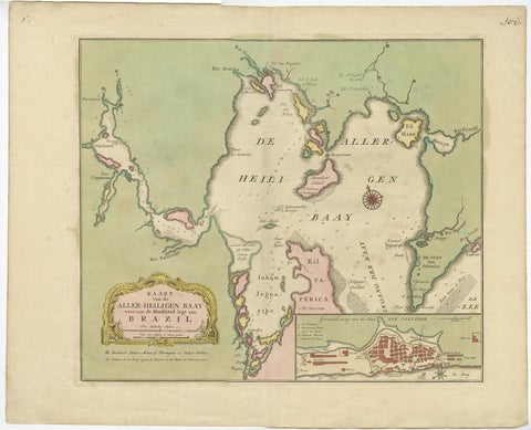 Antique Map of the Bahia Todos Santos 'Brazil' by Tirion, circa 1750
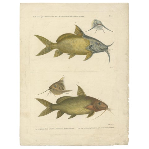 Antique Fish Print of the Synodontis Membranacea and Pimelodus Clarias, 1809
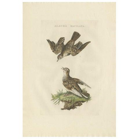 Eurasian Skylark – Antique Bird Engraving by Nozeman and Sepp, 1809
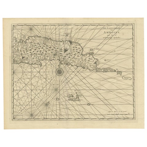 Antique Map of Ambon and Surroundings by Valentijn '1726'
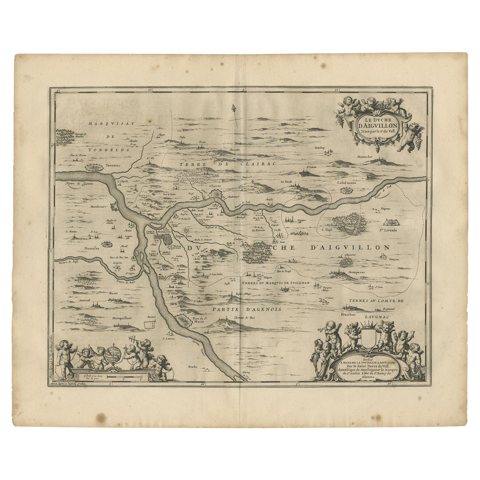 Antique Map of the Region of Aiguillon by Janssonius, 1657
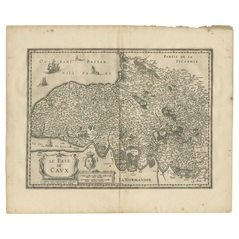 Antique Map of the Region of Pays de Caux by Janssonius, 1657
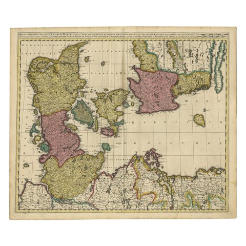 Map of Denmark Divided into Dioceses – G. & L. Valk, ca. 1690
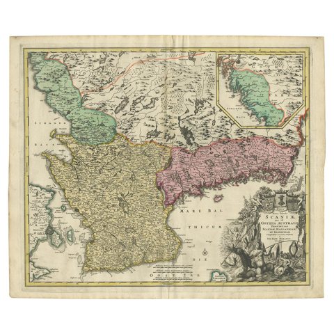 Southern Sweden Provinces Map – Homann’s ‘Nova Tabula Scaniae’, ca. 1730
Sharing the sale? Download the Black Friday banners.