maps-prints.com
✦
Black Friday Sale
Friday 20 to Monday 30 November: up to 30% off original antique maps and prints
The terms
- Up to 30% off selected original antique maps and prints. Every piece is an original, printed in its own time; none is a reproduction.
- The sale runs from Friday 20 November to Monday 30 November. Sale prices shown here apply from Friday 20 November; until then pieces are sold at their regular price.
- Free FedEx shipping on qualifying orders placed on our own websites: USA, Canada, UK and Europe over $500 / €450; rest of the world over $750 / €675. Smaller orders pay our normal shipping rate.
- Orders placed from 15 to 30 November ship from 1 December, in time for Christmas. Our shipping partner is InXpress.
- Each piece is unique, so the sale is while stock lasts.
Collection:AllAmericanSea chartsMilitaryNatural historyFashionArchitectureBotanicalSacredEast Indies
Sale prices apply from Friday 20 November. Save the pieces you like with the heart and come back on Friday.
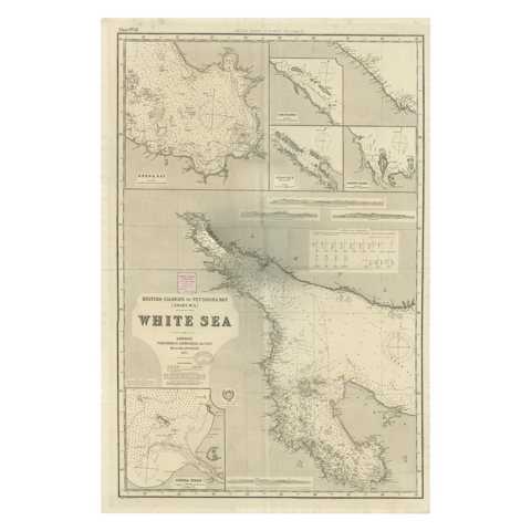 Uncommon, Large Map of the British Islands to Petshora Bay, 1891
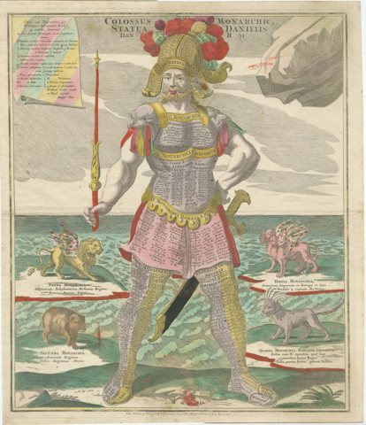 Striking 1740 Engraving of Colossus Depicting King Nebuchadnezzar's Dream
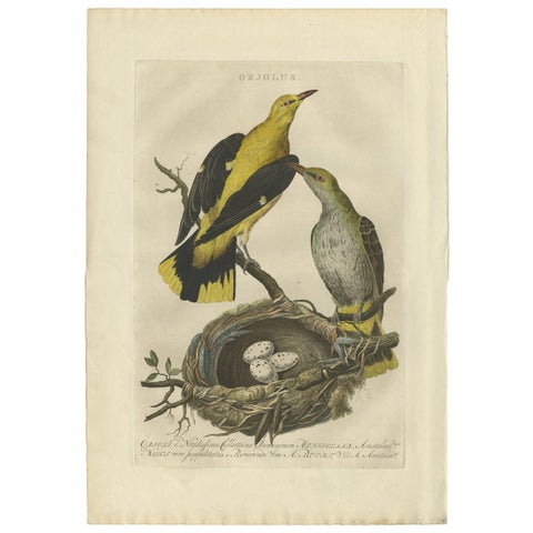 Eurasian Golden Oriole with Nest – Antique Bird Engraving, Nozeman & Sepp 1770
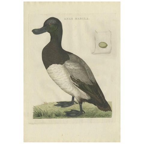 Greater Scaup – Antique Bird Engraving Anas Marila by Nozeman and Sepp, 1770
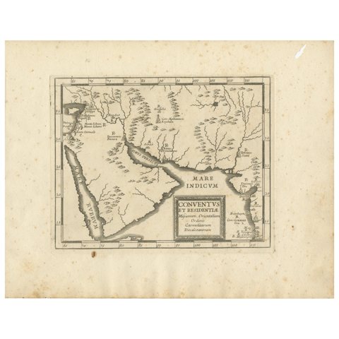 Antique Map of the Arabian Peninsula by Franceschini, '1739'
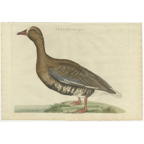 Antique Bird Print of the Greater White-Fronted Goose by Sepp & Nozeman, 1797
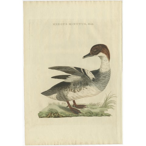 Male Common Merganser Antique Bird Print by Sepp & Nozeman, circa 1809
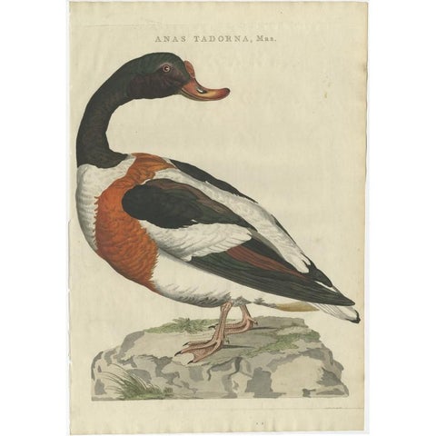 Antique Bird Print of the Male Common Shelduck by Sepp & Nozeman, 1789
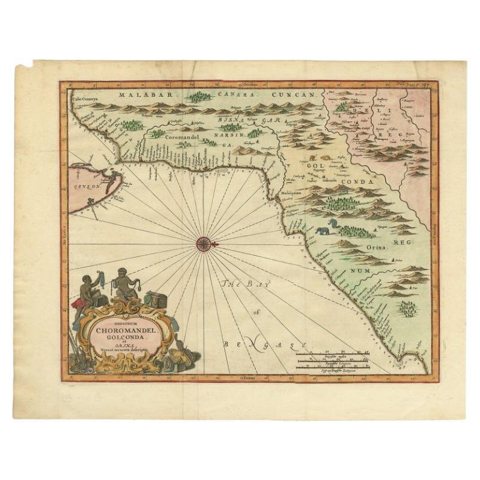 Antique Map of Choromandel, Golconda and Orixa, Malabar, India, 1744
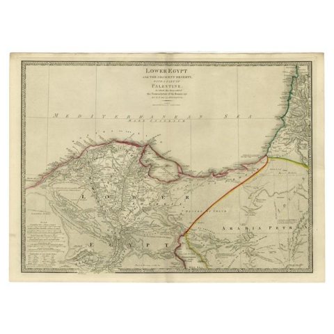 Large Antique Map of Egypt and the Nile Delta by Wyld, 1854
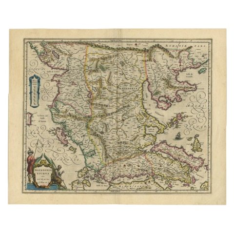 Antique Map of Macedonia by the Famous Mapmaker Blaeu, c.1650
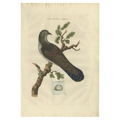 Antique Hand-Coloured Bird Print of the Common Cuckoo, 1789
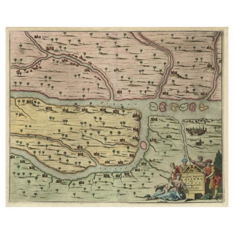 Rare Hand-Colored Antique Map of the Bassora 'Basra' Region in Iraq, 1680
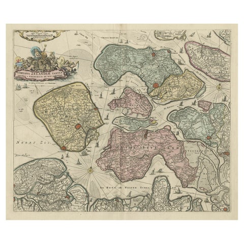 Decorative Antique Sea Chart of Zeeland, a Province of the Netherlands, ca.1730
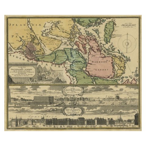 Original Old Map East of Stockholm, the Island Ljusterö and Värmdö, Sweden, 1720
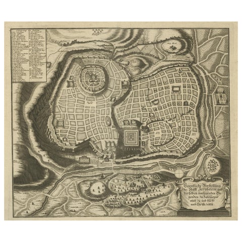 Rare Town Plan of Jerusalem, Includes an Extensive Key to Locations etc, 1708
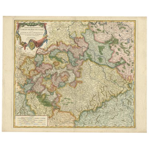 Nicely Colored Original Antique Map of Upper Saxony, Middle Germany, 1756
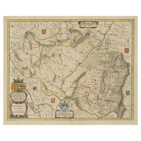 Detailed Antique Map of Northern Spanish Region of Aragon, c.1650
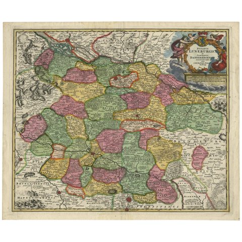 Regional Map of Germany, inc Hamburg, Luneberg, Hannover, Braunsweig etc, c.1720
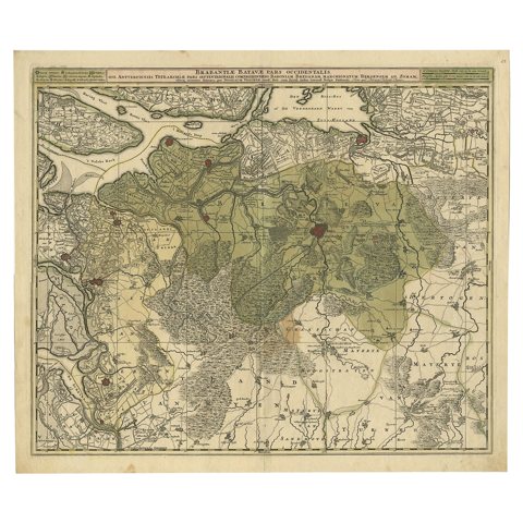 Highly Detailed Antique Map of Brabant, Province of the Netherlands, ca.1700
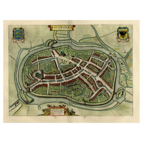 Nice Hand-Colored Plan by Blaeu of Bolsward in Friesland, the Netherlands, 1652
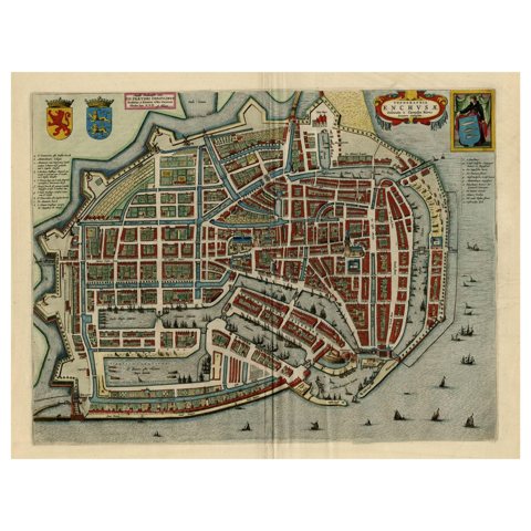 Beautiful Bird's-Eye View Plan of Enkhuizen in The Netherlands by Blaeu, 1649
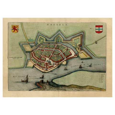 Stunning Bird's-Eye View Plan of Hasselt by Blaeu in The Netherlands, 1649
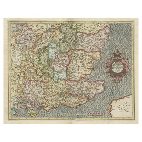 Original Old Map of South East England Incl London, Oxford, Cambridge, Etc, 1633
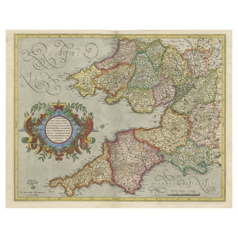 Original Antique Map of the English counties Cornwall, Devon, Dorset, etc, 1633
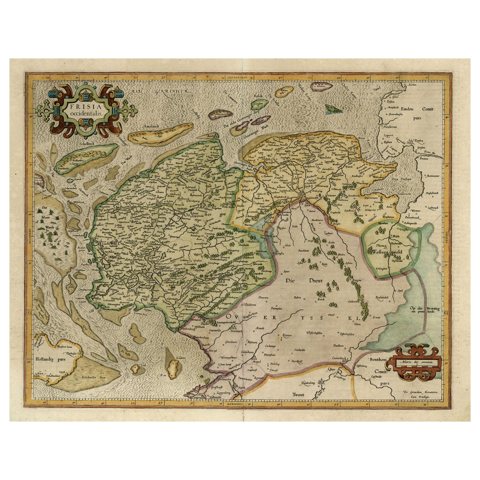 Old Map of the Dutch Provinces of Friesland and Groningen, The Netherlands, 1604
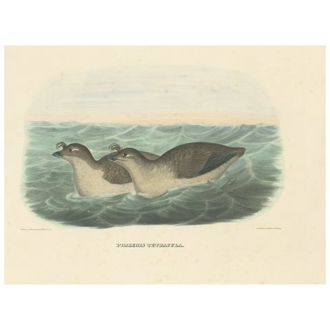 Rare Original Old Bird Print Depicting the Pacific Dovekie, 1869
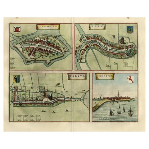 Antique Map of Frisian Cities Sloten, Ylst, Workum and Hindelopen by Blaeu, 1652
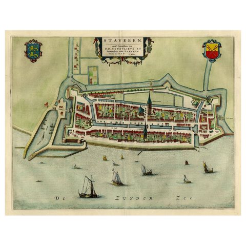 Original Antique Map of the City of Stavoren, Friesland, The Netherlands, 1649
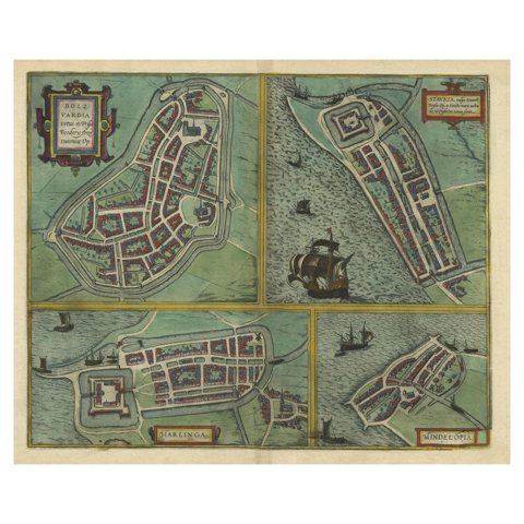 Frisian Cities Bolsward, Stavoren, Harlingen & Hindelopen, The Netherlands, 1598
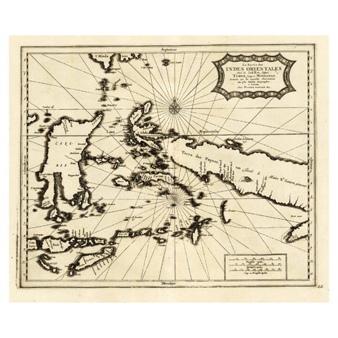 Extremely Rare Map of the East-Indies towards the South-East 'Indonesia', 1725
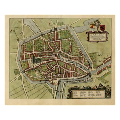 Antique Bird's-eye View Plan of Zierikzee in Zeeland, The Netherlands, 1649
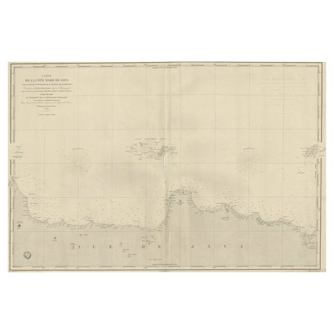 Early French Nautical Chart of the Northern Coast of of Java, Indonesia, C.1850
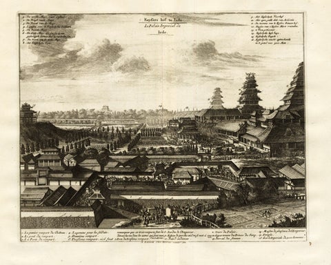 Antique Print of the Imperial Palace in Edo or Tokyo in Japan, c.1725
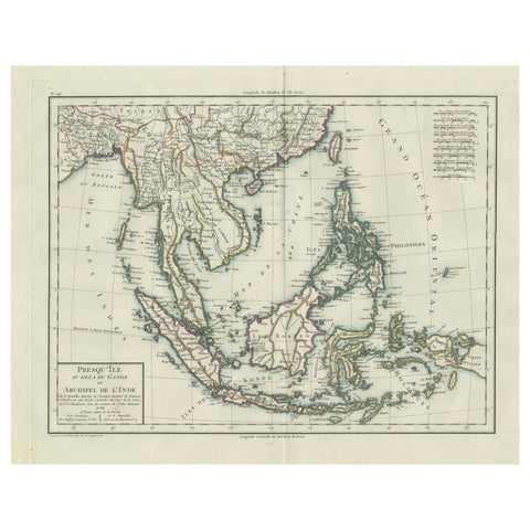 1797 Tardieu Map of Southeast Asia: The Malay Archipelago and Beyond
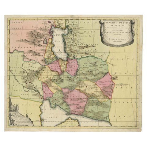 Imperii Persici Delineatio: A 1722 Cartographic Masterpiece of Persia by Schenk
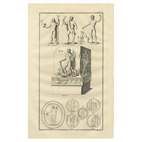 Neptune / Poseidon Sculptures and Coins – Roman Antiquity Engraving, 1721
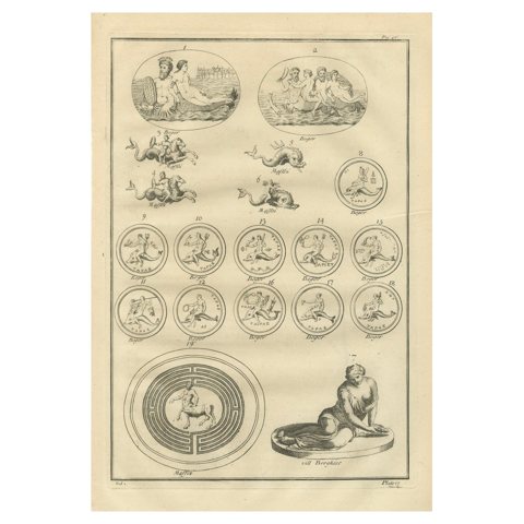 Antique Roman Marine Deities, Tritons and Sea Gods, Montfaucon Engraving, 1721
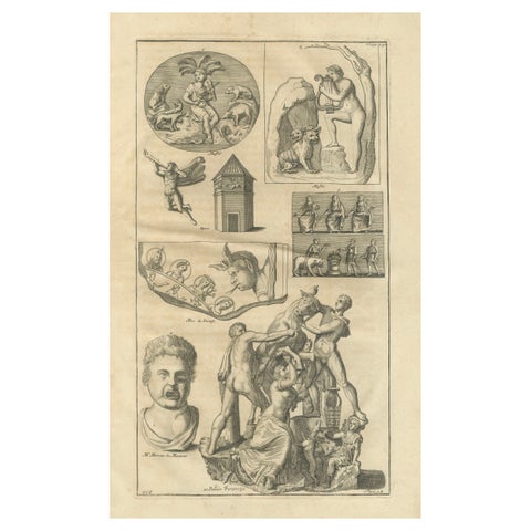 Monumental Classical Sculpture Studies – Montfaucon Antiquity Explained, 1721
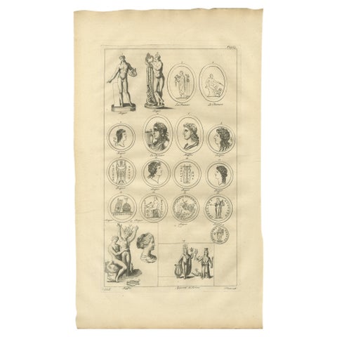 Antique Roman Sculpture & Medals Plate – Montfaucon, Antiquity Explained, 1721
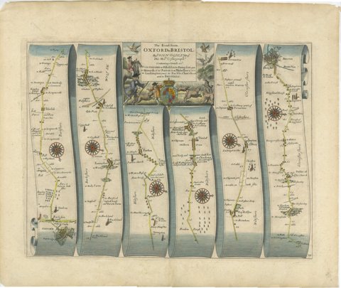 Antique Road Map Oxford to Bristol, Ogilby Britannia Strip Map, 1675
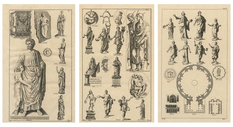 Antique Roman Sculpture Engravings, Set of 3 – Montfaucon, 1721
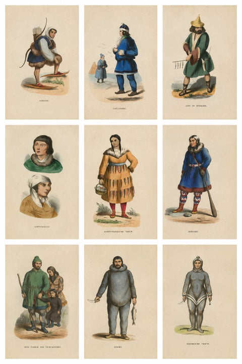 Antique Arctic Peoples & Northern Tribes Costume Prints, Set of 9, c.1852
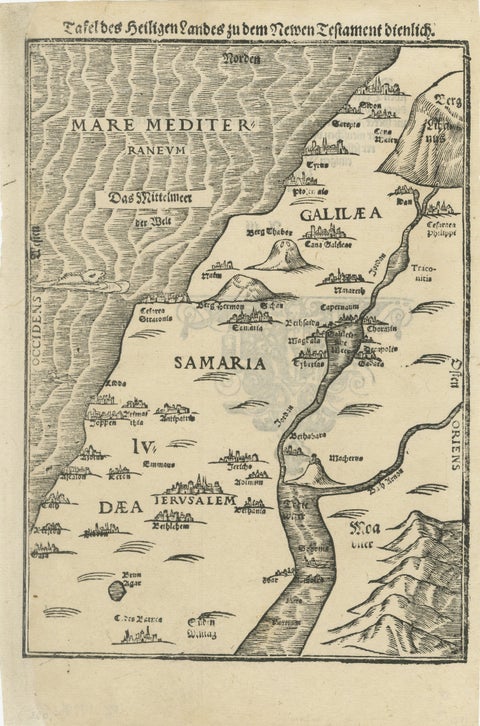 Rare 16th Century Holy Land Woodcut Map by Heinrich Bünting, circa 1581
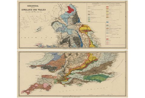 Antique Geological Map of England & Wales, Hand-Colored, c.1880
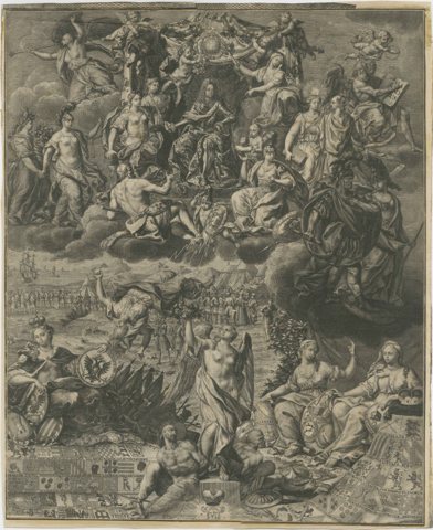 Allegory on the Reign of Habsburg Emperor Charles VI, Holy Roman Emperor, c.1720
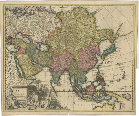 Decorative Antique Map of Asia and the East Indies, circa 1720
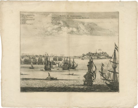 Rare View of Olinda Pernambuco Brazil and Dutch Fleet, 1671
Sharing the sale? Download the Black Friday banners.