About this sheet
Cartographer: Petrus Schenk (Pieter Schenk), 1722
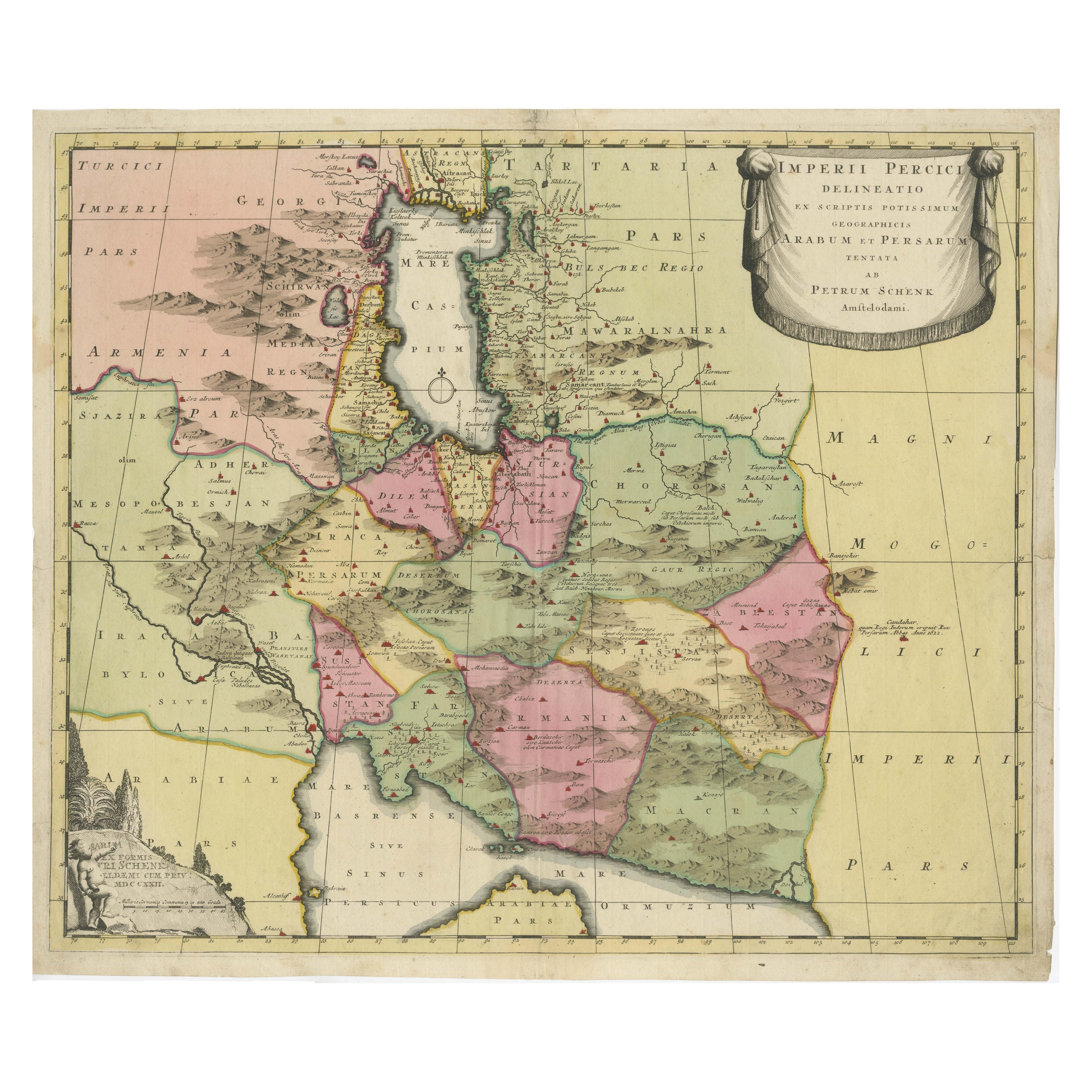
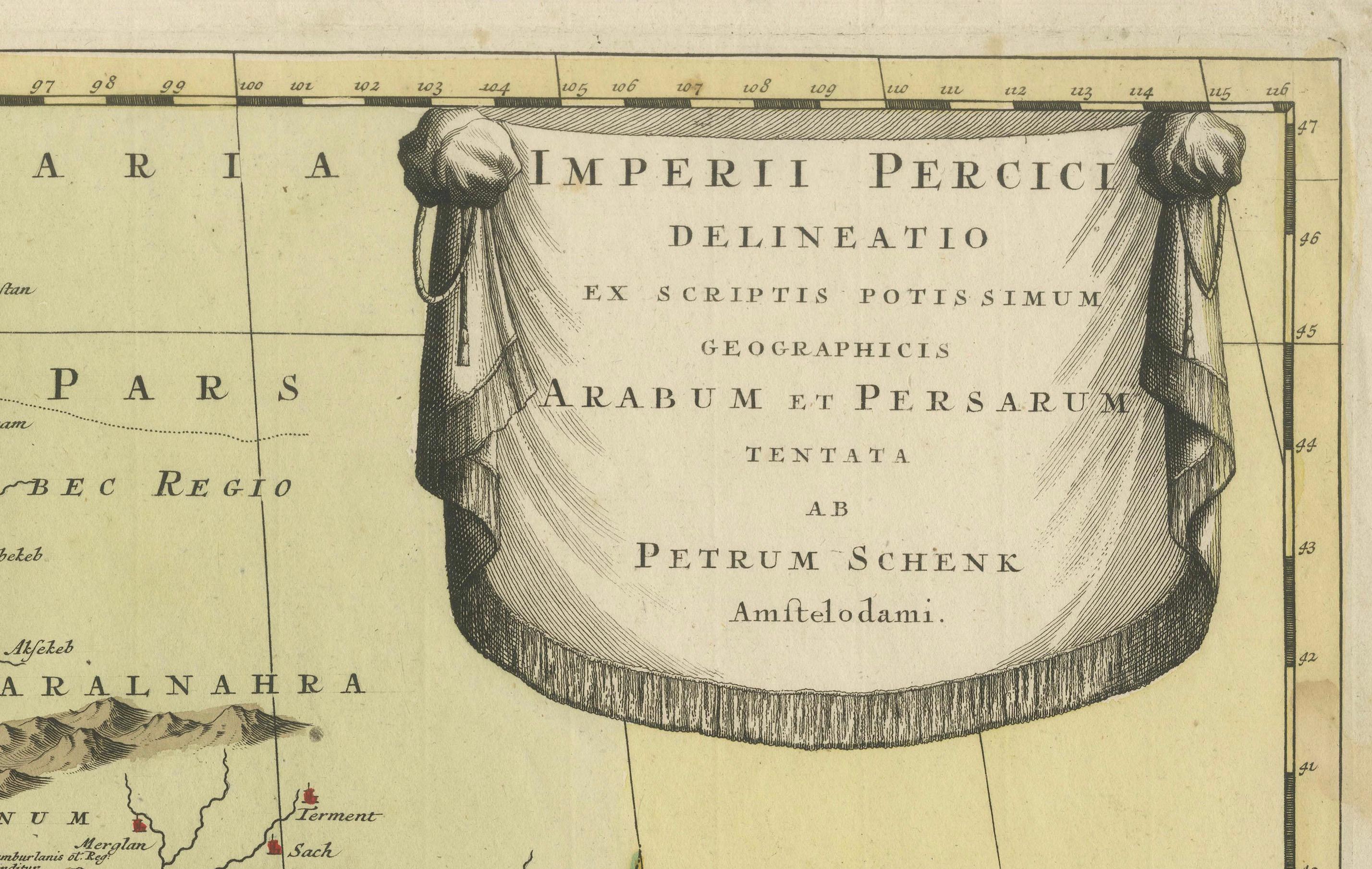
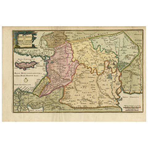
An original antique hand-colored engraved map that primarily covers the Persian Empire, extending into parts of the neighboring regions, including Armenia, Arabia, and parts of Central Asia.
The map features an ornate 'curtain' style cartouche in the upper right corner, adding an element of artistic decoration typical of the period.
The regions are hand-colored, often in pastel shades of pink, green, and yellow, distinguishing various territories and regions within the Persian Empire.
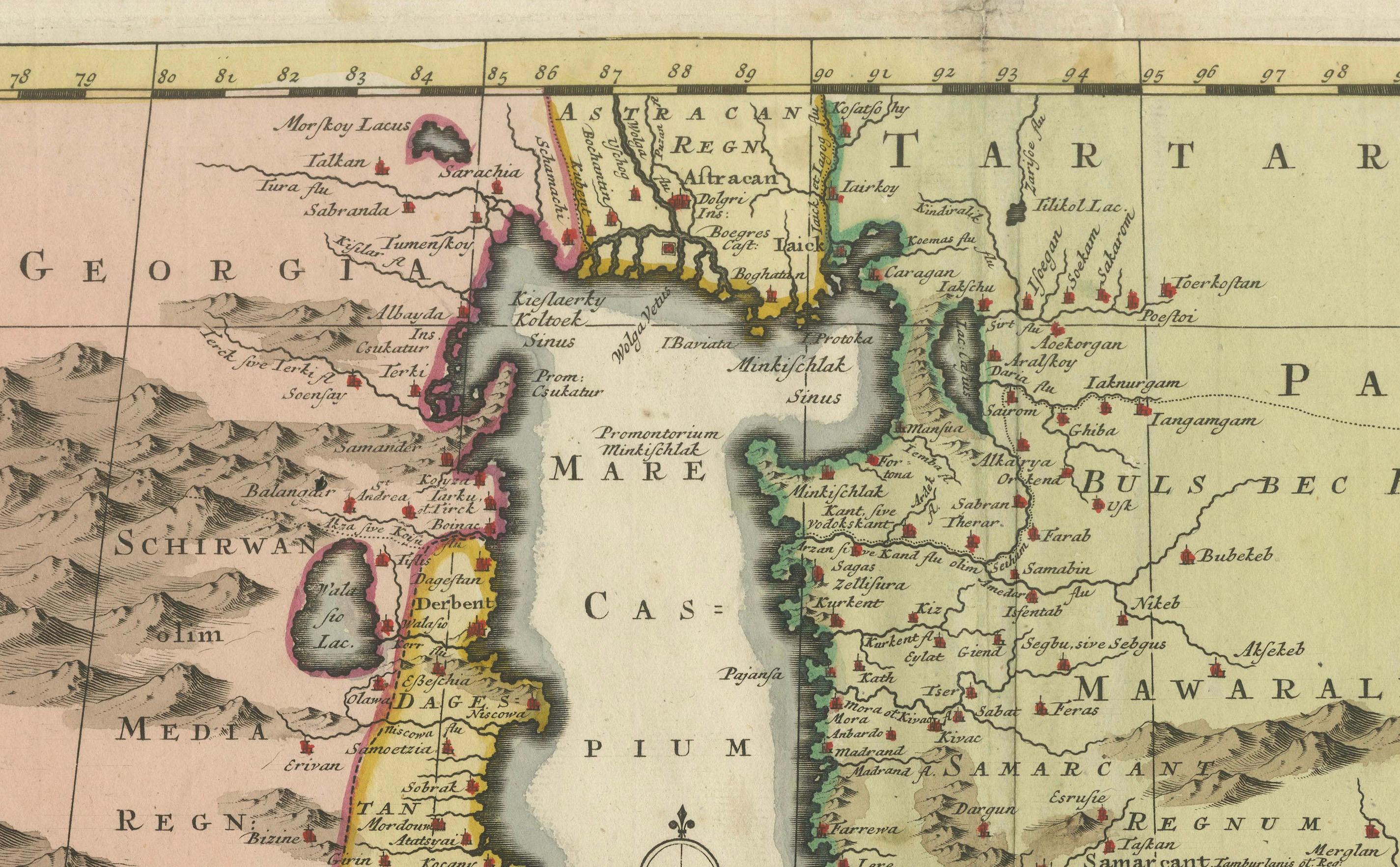
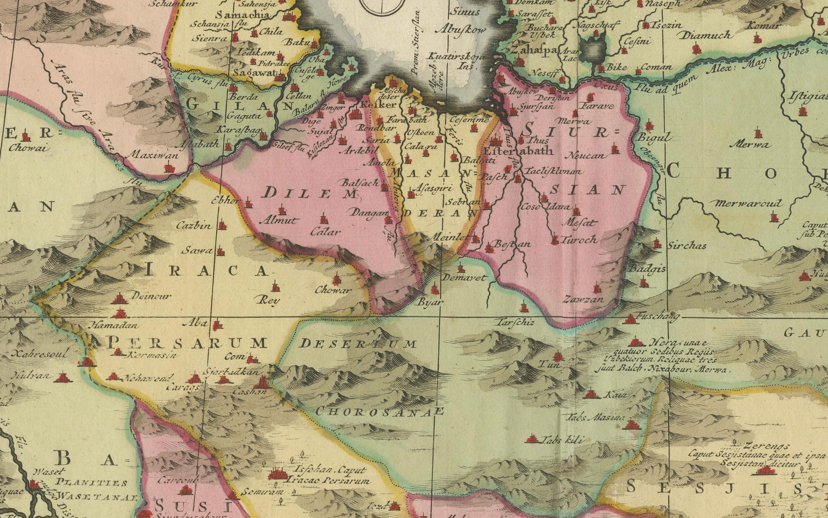
Mountains, rivers, and other topographical features are illustrated, giving a sense of the physical geography of the region.
Various cities and settlements are marked, some with small illustrations of buildings or symbols indicating their importance or size.
Regions Highlighted:
- Armenia: Located in the northwest, adjacent to the Black Sea.
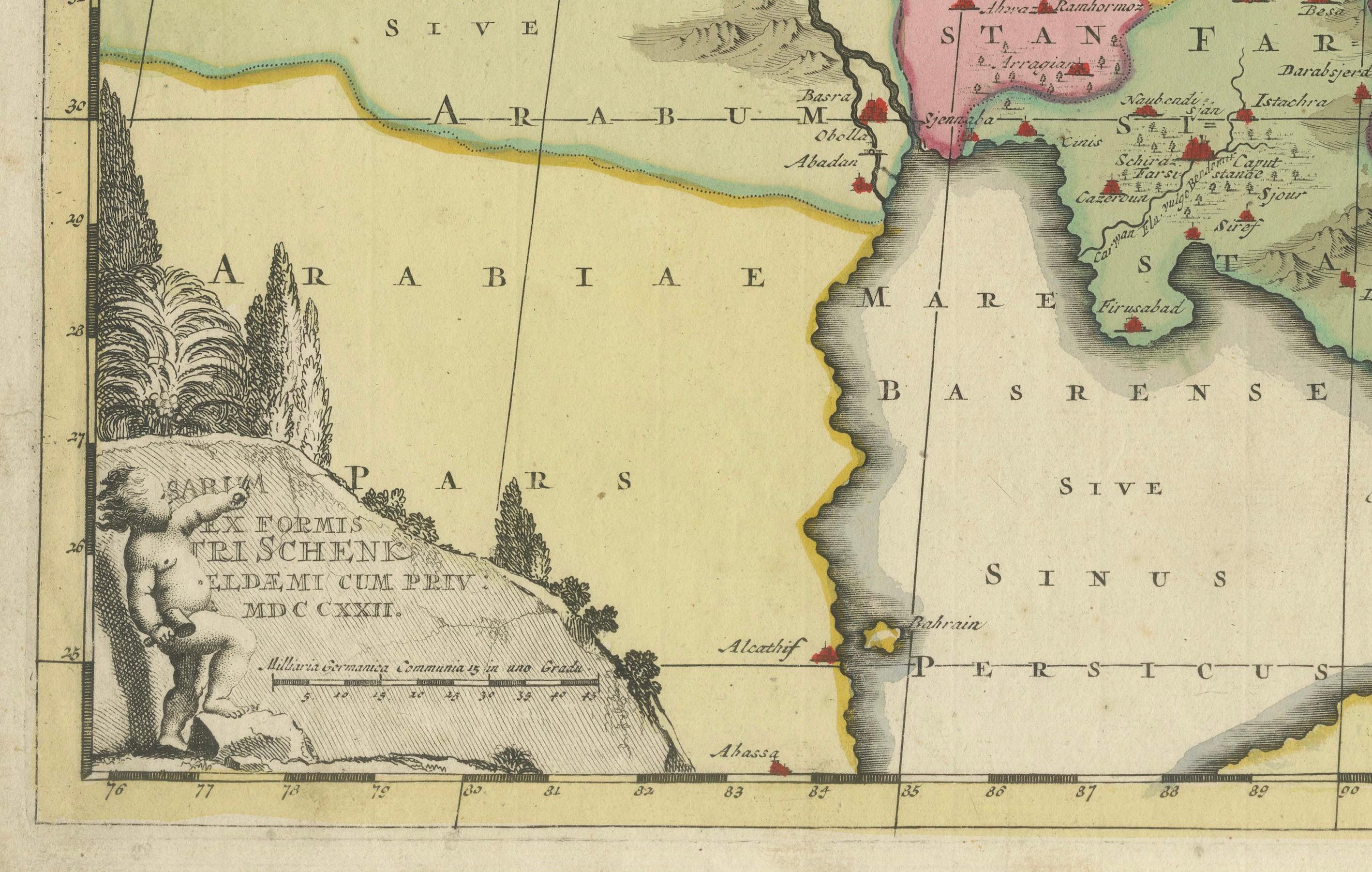
- Arabia: The southern regions, labeled as part of the Arabian Peninsula.
- Mesopotamia: The fertile region between the Tigris and Euphrates rivers, indicating its historical significance.
- Caspian Sea: Prominently shown in the northern part of the map, with detailed coastline and surrounding regions.
The Maker: Petrus Schenk
Background:
- Petrus Schenk (1660-1711): A well-known Dutch cartographer, engraver, and publisher based in Amsterdam. He was renowned for his detailed and decorative maps, as well as for his work in producing globes.
- Reputation: Schenk was part of a family of mapmakers and had a significant influence on the cartographic and publishing world in the late 17th and early 18th centuries. His works are characterized by their artistic flourish and meticulous attention to detail.
What Makes This Map Interesting
1. **Historical Context:**
- **Early 18th Century Cartography:** The map represents the state of geographical knowledge in the early 18th century, a period when European interest in the Middle East and Central Asia was high due to trade routes and colonial ambitions.
- **Persian Empire:** It provides a detailed look at the Persian Empire, a historically significant empire known for its rich culture, strategic military presence, and contributions to art and science.
2. **Artistic Elements:**
- **Hand-Coloring:** The use of hand-coloring adds a unique artistic element, making each copy of the map slightly different and a piece of art in its own right.
- **Decorative Cartouches:** The ornate title cartouche is a typical feature of maps from this period, combining artistic expression with informational content.
3. **Cultural Significance:**
- **Cross-Cultural Documentation:** The map’s reliance on Arabic and Persian geographic sources illustrates the cross-cultural exchange of knowledge and the European effort to document and understand non-European territories.
- **Educational Value:** Maps like these were not only tools for navigation and understanding geography but also served as educational tools for Europeans to learn about distant lands.
4. **Rarity and Collectibility:**
- **Antique Value:** As a map from 1722, it holds significant antique value. Maps from this era are sought after by collectors and historians for their beauty and historical importance.
- **Petrus Schenk’s Signature Style:** Schenk’s maps are particularly valued for their artistic and detailed approach, making them prized items in collections of antique maps.
In summary, this map by Petrus Schenk is an intriguing blend of art, history, and geography, offering insights into the Persian Empire as understood by early 18th-century European cartographers. Its detailed depiction of regions, hand-coloring, and decorative elements make it a fascinating and valuable piece for both historical and artistic study.