About this sheet
Antique Road Map Oxford to Bristol, Ogilby Britannia Strip Map 1675
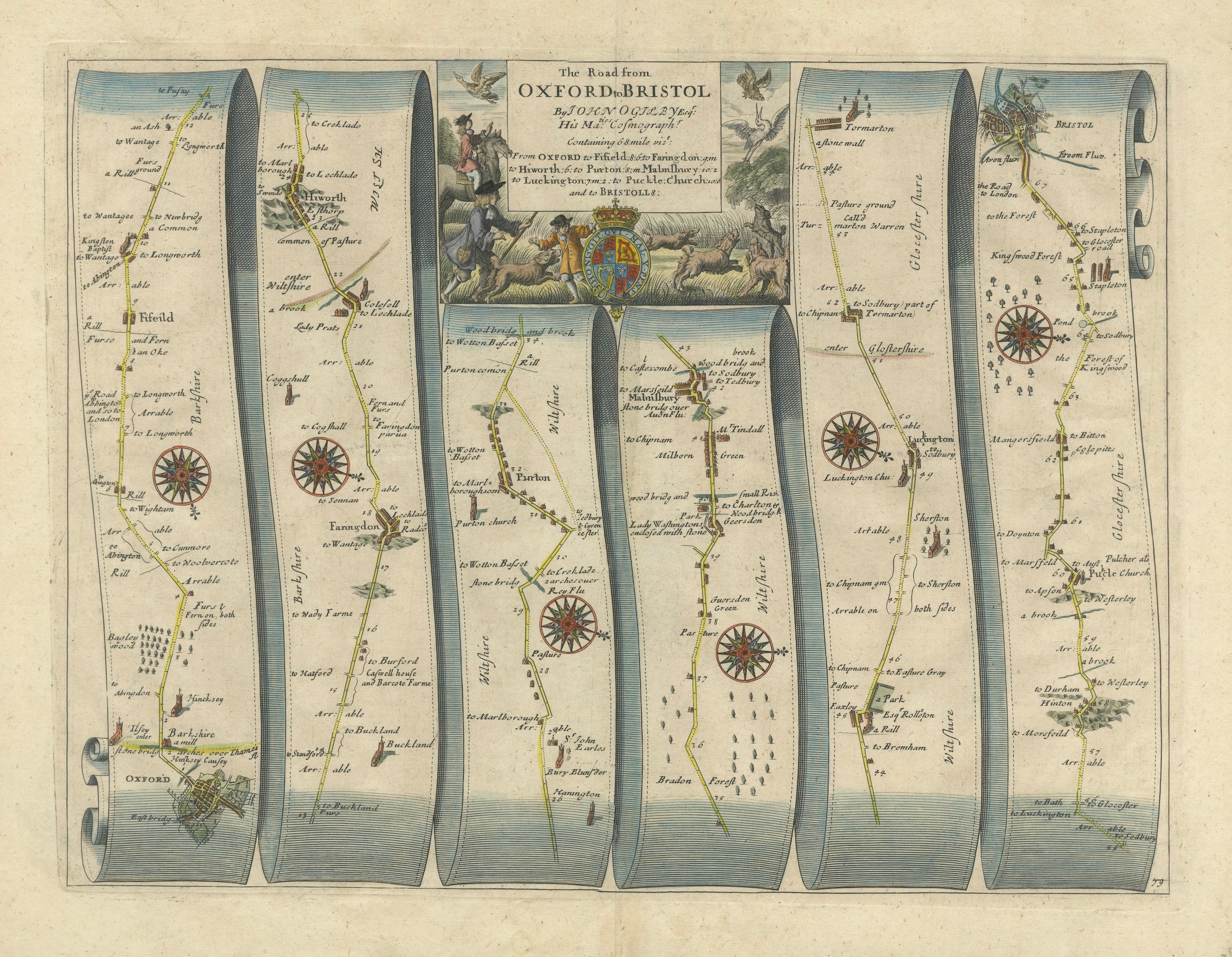
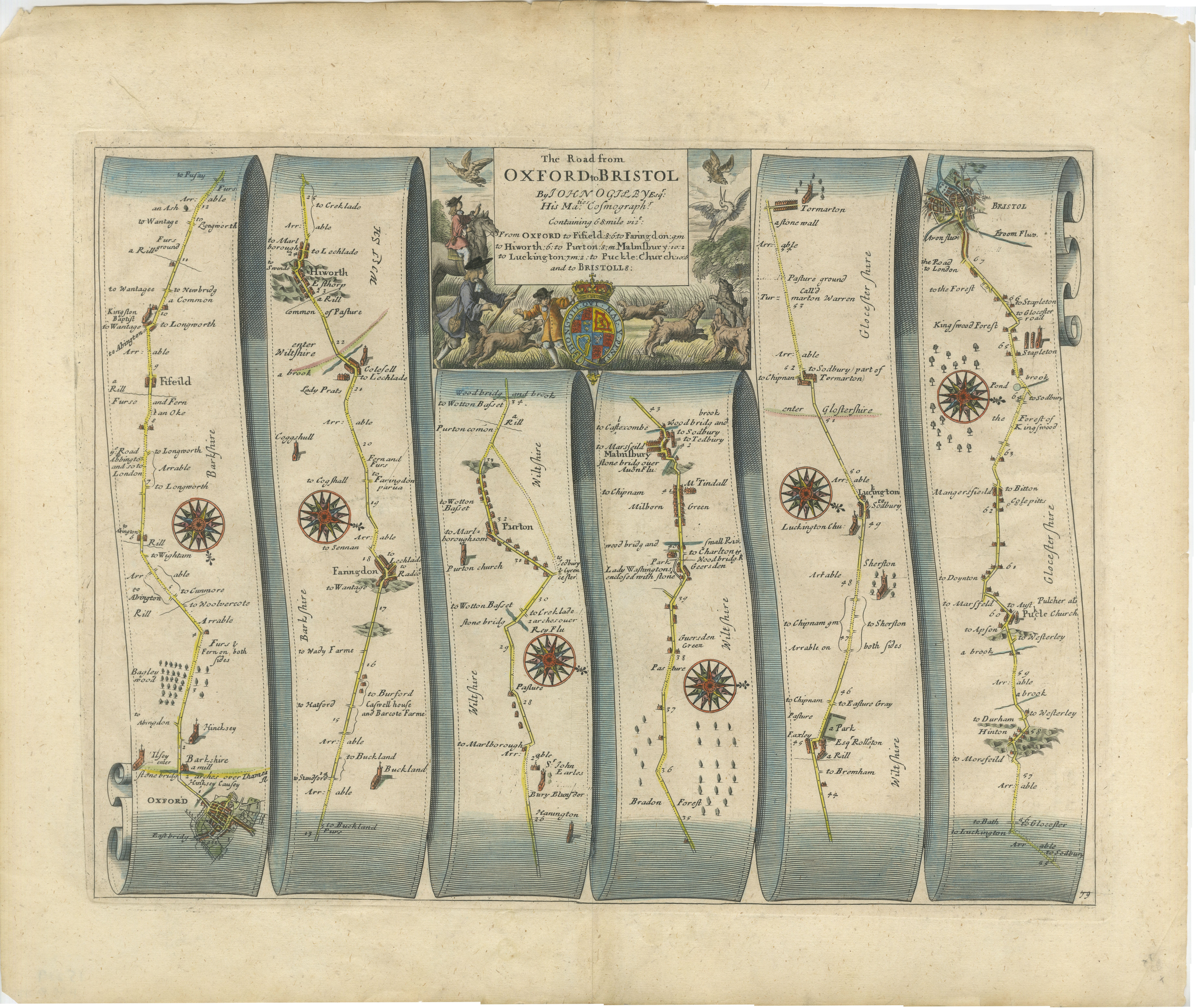
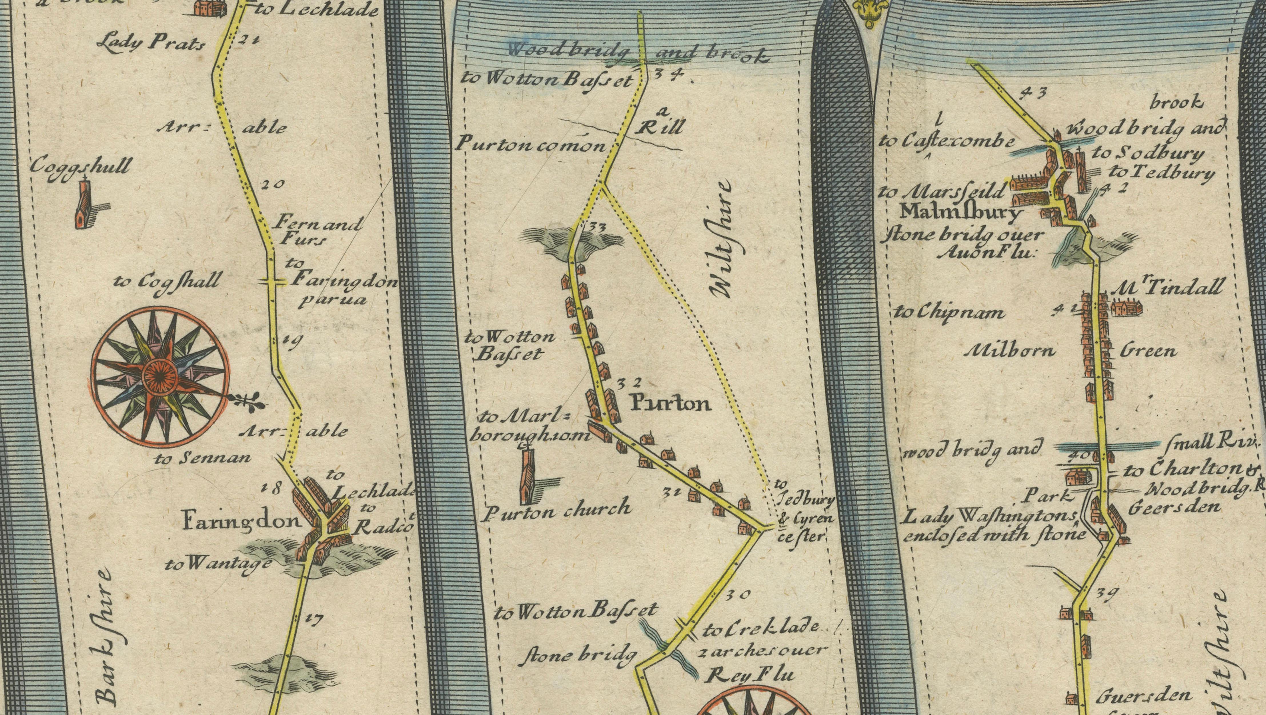
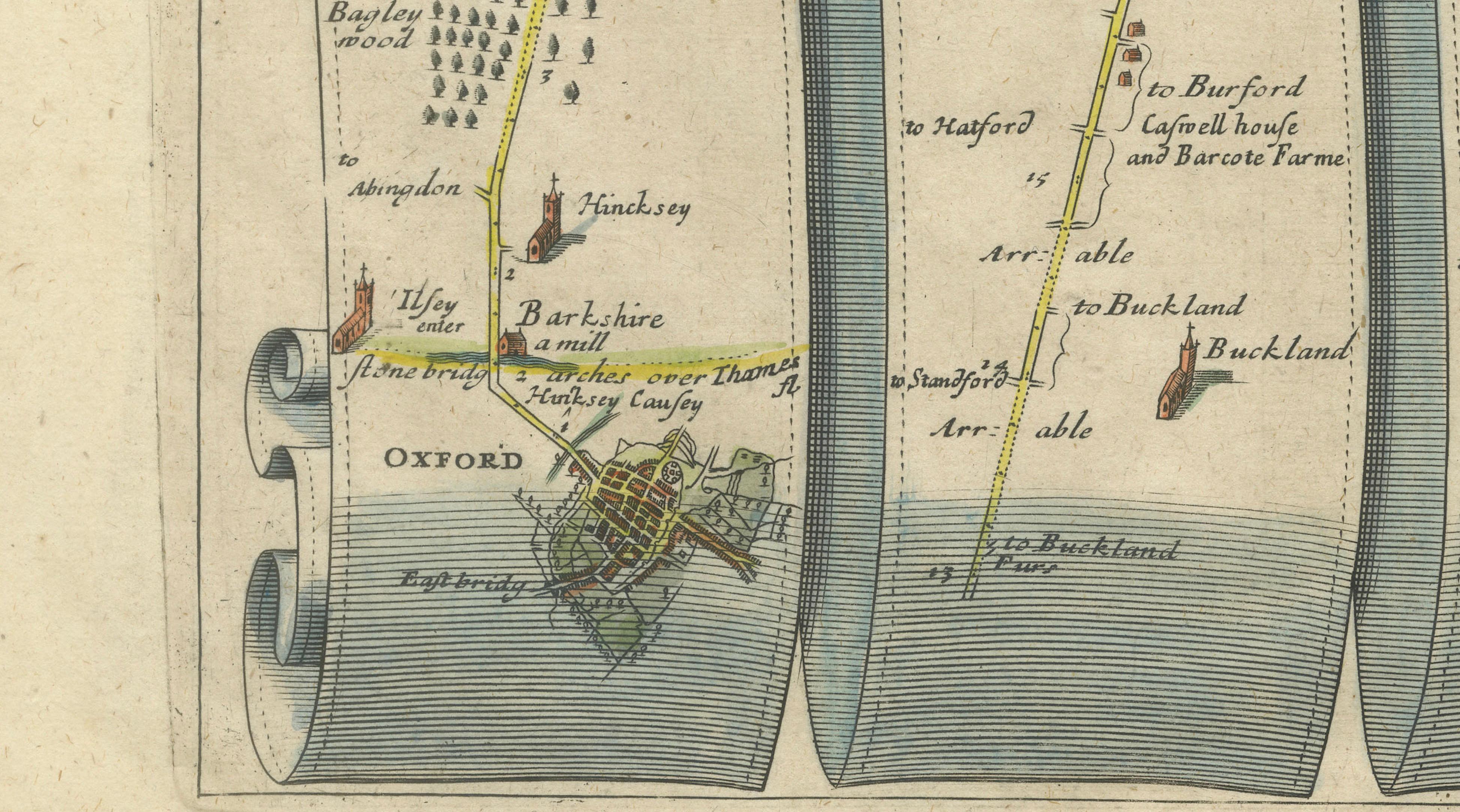
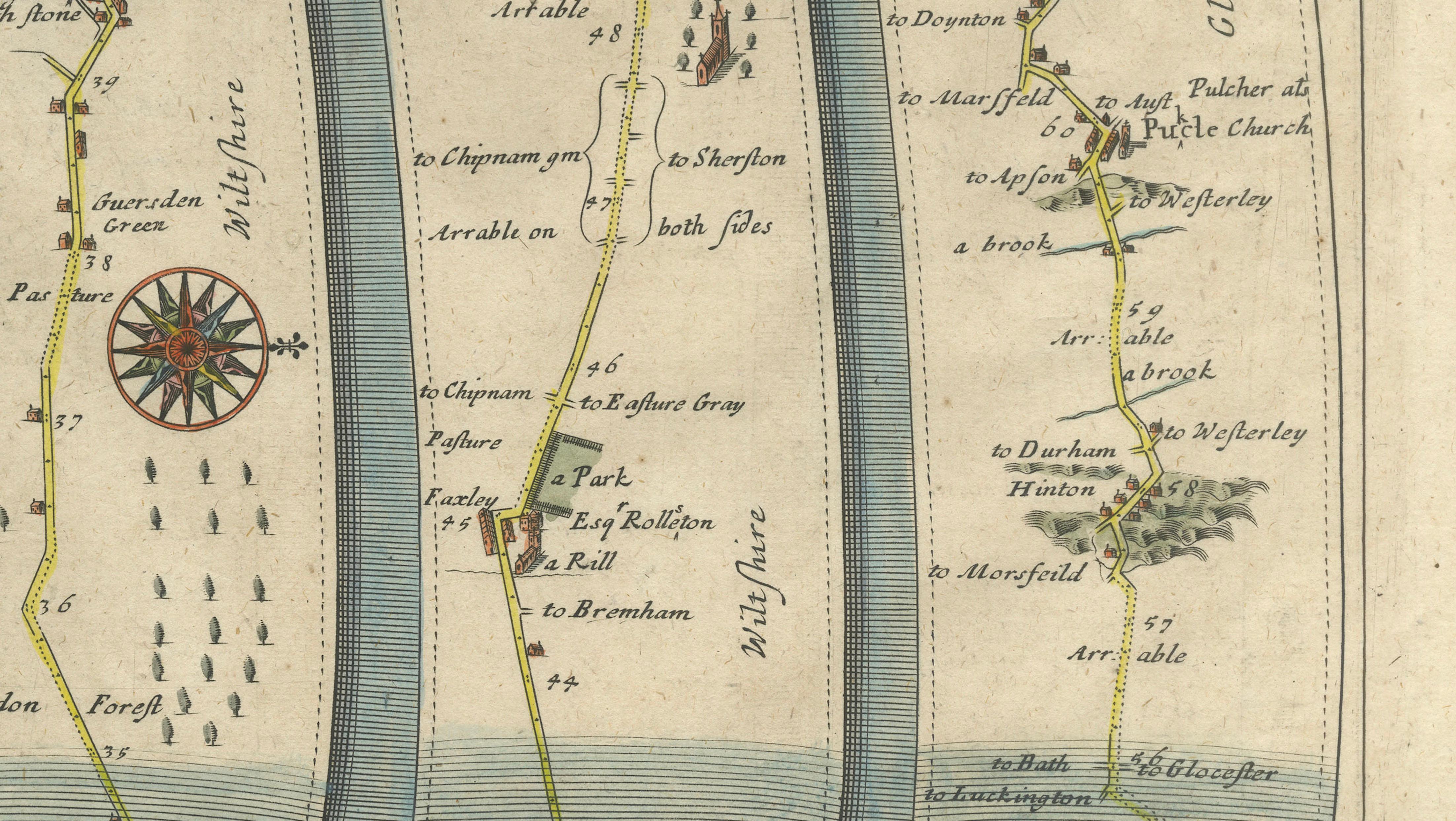
A highly decorative and historically important English road map from the pioneering atlas Britannia by John Ogilby, published in London in 1675. This finely engraved strip map depicts the coaching route from Oxford to Bristol, one of the principal westward routes of 17th-century England, and is numbered 79 within the atlas.
Ogilby’s work represents a landmark in cartographic history, being the first road atlas of Britain based on systematic survey rather than compilation. Using a consistent scale of one inch to the mile, Ogilby introduced a new level of precision to route mapping. The innovative strip format, shown here in six elegantly curved panels resembling unfurled ribbons, allows the viewer to follow the journey sequentially, almost as if travelling the road itself.
The route is richly annotated with towns, villages, bridges, rivers, and landscape features. Key locations along the journey include Oxford, Faringdon, Highworth, Swindon, Malmesbury, Luckington, and finally Bristol, which is shown with a small town plan at the end of the route. The road itself is highlighted in color, guiding the eye through the countryside.
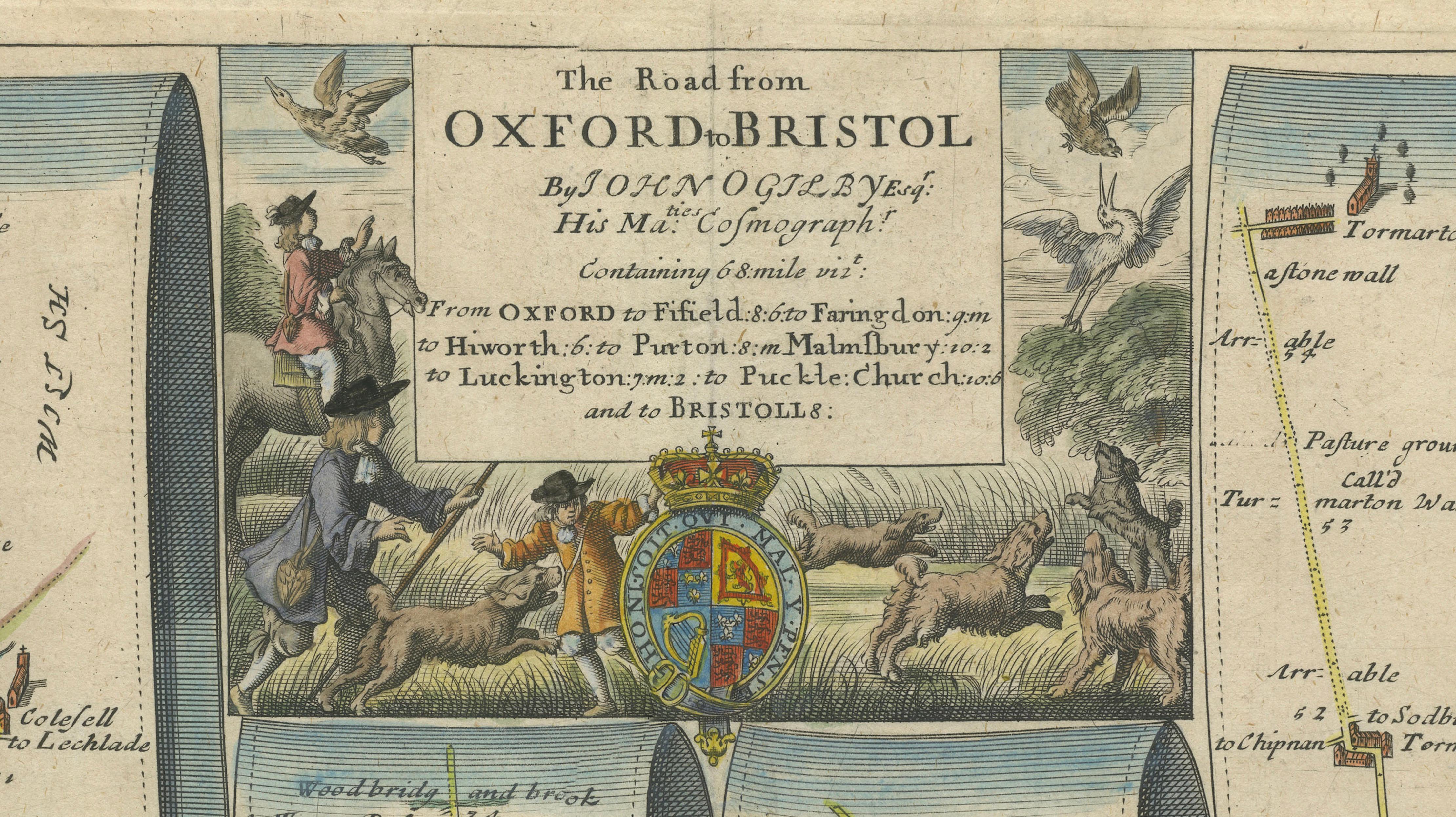
Frequent compass roses are placed throughout the map, indicating directional changes and adding both practical function and decorative charm. The upper cartouche is particularly striking, featuring a pastoral scene with figures, animals, and the royal coat of arms, reflecting the prestige and ambition of Ogilby’s publication.
This map is not only a functional guide but also a visual record of travel and infrastructure in Restoration England. It offers insight into the development of long-distance routes, coaching travel, and the organization of the landscape in the late 17th century. Highly collectible, Ogilby strip maps are prized for their distinctive format, historical importance, and strong decorative appeal.
Condition: Good overall condition with age-related toning and light staining to the margins. Minor edge wear consistent with age. Original hand coloring remains attractive. The plate mark is visible. Please study the image carefully.
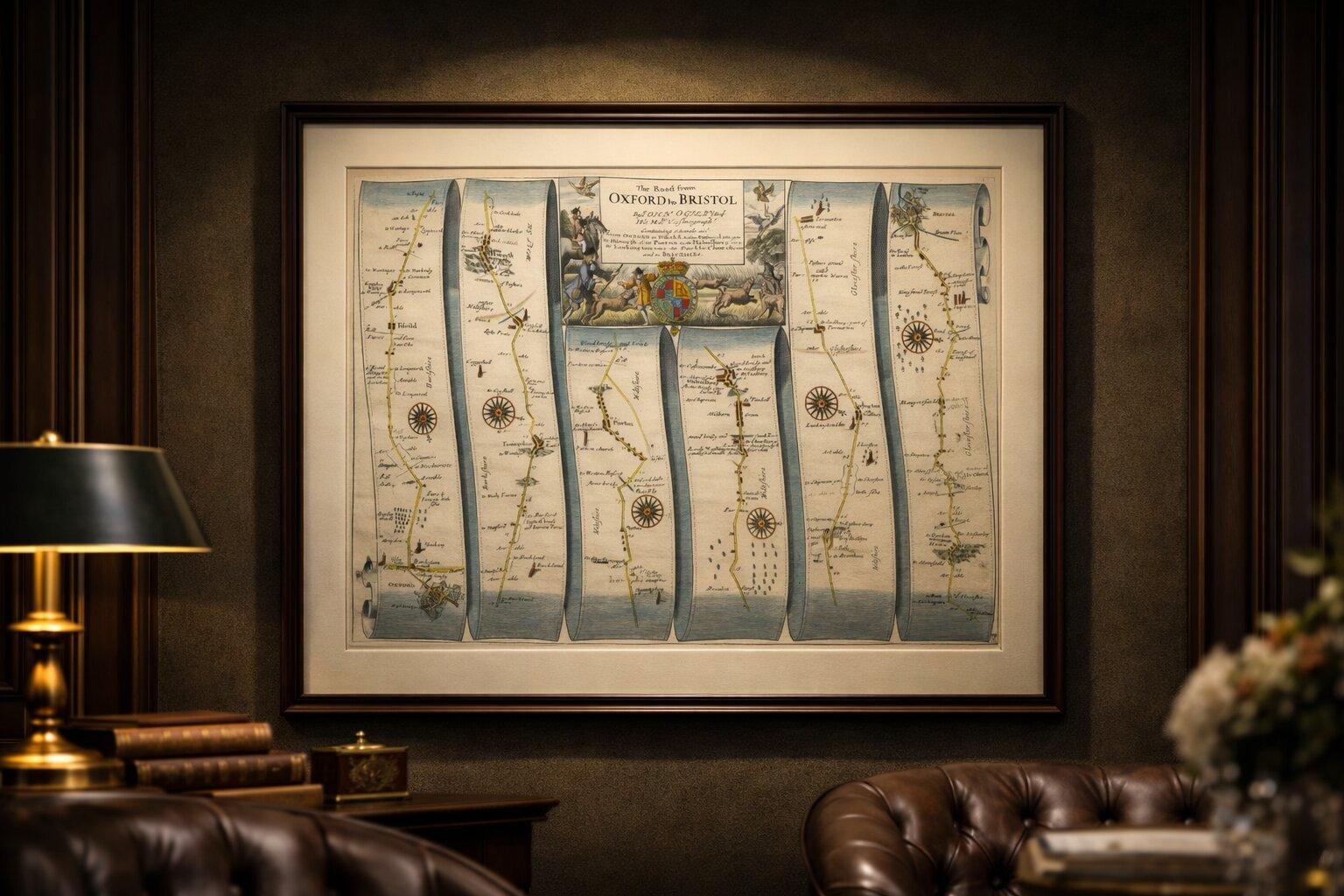
Framing tips: This piece displays beautifully in a wide horizontal frame. A deep walnut or ebonized frame with a generous ivory mat will enhance its classical character. Also suitable for a long panoramic presentation or as part of a set of Ogilby road maps.
This is an original 17th-century engraving, not a reproduction. All items we offer are authentic period works of art over 100 years old. The map is sold unframed; any framed images are shown for presentation and interior inspiration only.
Keywords: Oxford, Bristol, Faringdon, Highworth, Swindon, Malmesbury, Luckington, Wiltshire, Gloucestershire, Berkshire, English roads, coaching routes, Britannia atlas, John Ogilby, 17th century map, strip map, road map England, early survey cartography, antique English map, British topography, historic travel routes, Restoration England, engraved map, decorative cartography
Technique: Copperplate engraving with original hand color
Maker: John Ogilby, London, 1675