
Maps & PrintsBartele Gallery · Langweer
Home / Antique Maps / Asia / South-East Asia / East Indies

East Indies · 19th century

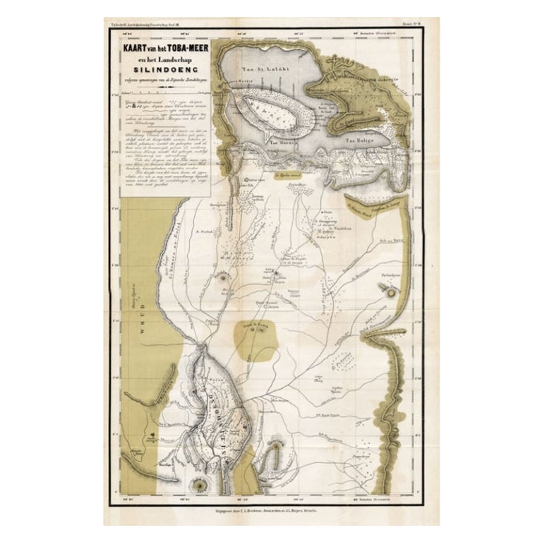
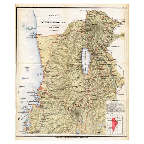
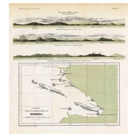
Scarce Antique Map of Lake Toba and Silindoeng on Sumatra, Indonesia, c.1875

€ 166

Original antique · The actual sheet photographed · Certificate of authenticity on request · Sold unframed · Worldwide shipping from € 15 (rates)

Date
1875
Mapmaker / artist
Map by C.L. Brinkman, Amsterdam and J.L. Beijers, Utrecht
Sheet size
50 × 80 cm (19.7 × 31.5 in)
Condition
Fair
Reference
PCT-14527

Condition

/good, general age-related toning. Shows some wear and staining. Please review the images for further condition details.
About this sheet

Antique map titled 'Kaart van het Toba-Meer en het landschap Silindoeng.'

This scarce map shows Lake Toba and Silindoeng on the Indonesian island of Sumatra. Originates from 'Tijdschrift Aardrijkskundig Genootschap', published by C. F. Stemler in Amsterdam, ca. 1875. Artists and Engravers: Map by C.L. Brinkman, Amsterdam and J.L. Beijers, Utrecht.

Condition: Fair/good, general age-related toning. Shows some wear and staining. Please study image carefully.

More from East Indies

Ask about this sheet

Scarce Antique Map of Lake Toba and Silindoeng on Sumatra, Indonesia, c.1875
1875 · Ref. PCT-14527 · € 166
We reply by email, usually within one working day.