Maps & PrintsBartele Gallery · Langweer
Home / Antique Maps / Asia / South-East Asia / East Indies

East Indies · 19th century

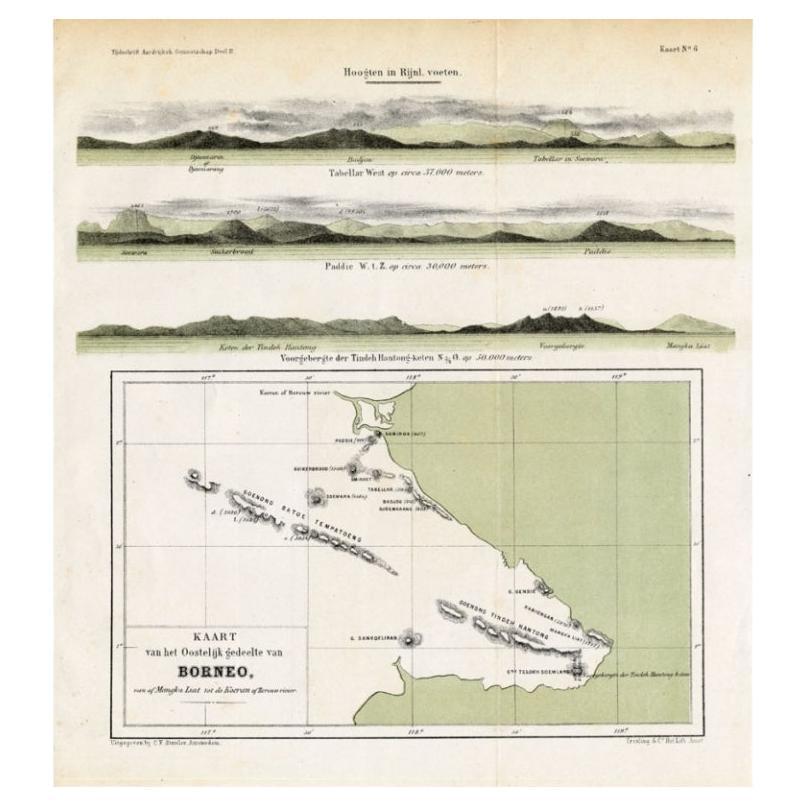
Antique Map of Eastern Borneo, Indonesia with Views of Mountain Ranges, c.1875

€ 180

Original antique · The actual sheet photographed · Certificate of authenticity on request · Sold unframed · Worldwide shipping from € 15 (rates)

Date
1875
Sheet size
27.5 × 24.5 cm (10.8 × 9.6 in)
Condition
Good
Reference
PCT-14553

About this sheet

Antique map titled 'Kaart van het Oostelijk gedeelte van Borneo.' (Map of the eastern part of Borneo.) This map shows the eastern part of Borneo, Indonesia. With views of mountain ranges on Borneo. Originates from 'Tijdschrift Aardrijkskundig Genootschap', published by C. F. Stemler in Amsterdam, ca. 1875.

Artists and Engravers: Lithograped by Tresling and Co., Amsterdam.

Condition: Good, general age related toning; some light staining from handling. Please study image carefully.
Date: c.1875
Overall size: 24.5 x 27.5 cm.
Image size: 22.5 x 23 cm.

More from East Indies

Ask about this sheet

Antique Map of Eastern Borneo, Indonesia with Views of Mountain Ranges, c.1875
1875 · Ref. PCT-14553 · € 180
We reply by email, usually within one working day.