Maps & PrintsBartele Gallery · Langweer
Home / Antique Maps / Asia / South-East Asia / East Indies

East Indies · 19th century

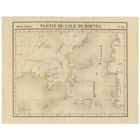
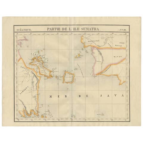
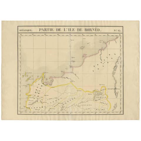
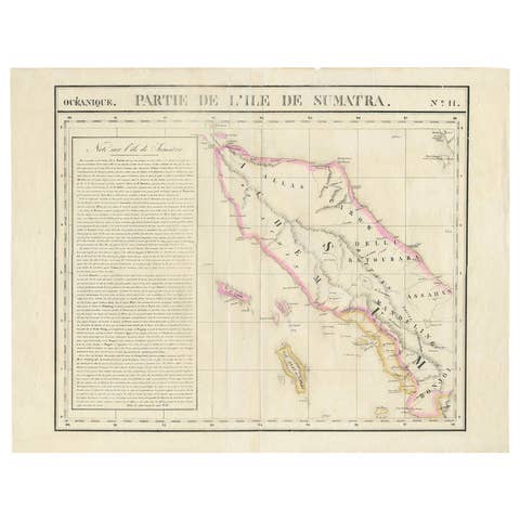
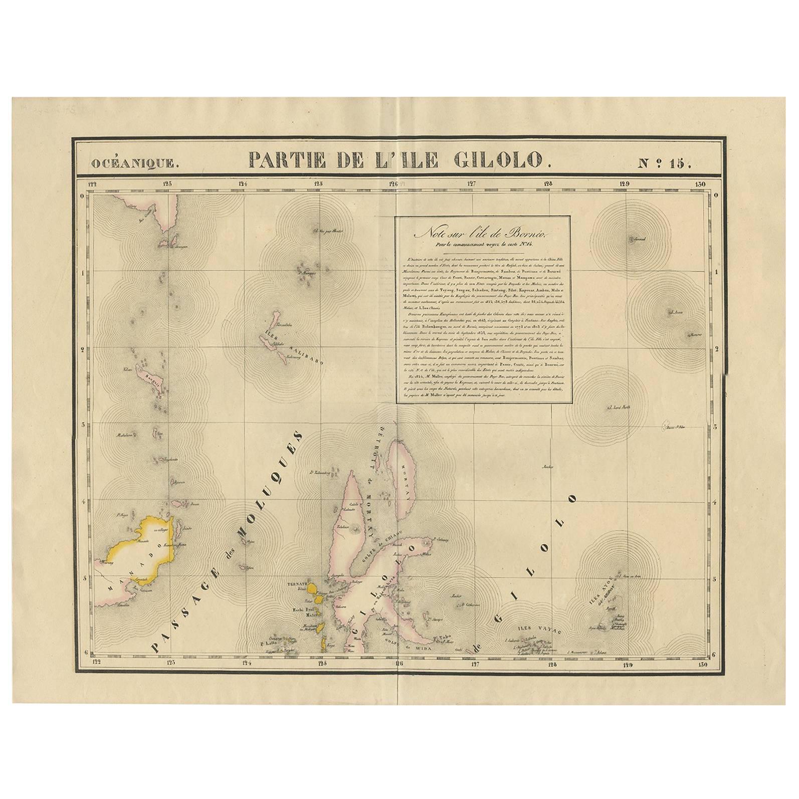
Antique Map of Southern Mindanao, Sulawesi and Gilolo Halmahera, Indonesia, 1827

€ 522

One of a kind: this is the sheet in the photographs. Ships from Langweer, the Netherlands.

Date
1827
Sheet size
53 × 68 cm (20.9 × 26.8 in)
Condition
Good
Reference
D-0461

Condition

Good. Please study image carefully.
About this sheet

Antique lithograph, with a text vignette on Borneo. This important map for the Philippines shows Southern Mindanao, and the area between Sulawesi, Mindanao and Gilolo (today: Halmahera), part of the Moluccas. Published by P.M.G. Vandermaelen, 1827.

More from East Indies

Ask about this sheet

Antique Map of Southern Mindanao, Sulawesi and Gilolo Halmahera, Indonesia, 1827
1827 · Ref. D-0461 · € 522
We reply by email, usually within one working day.