About this sheet
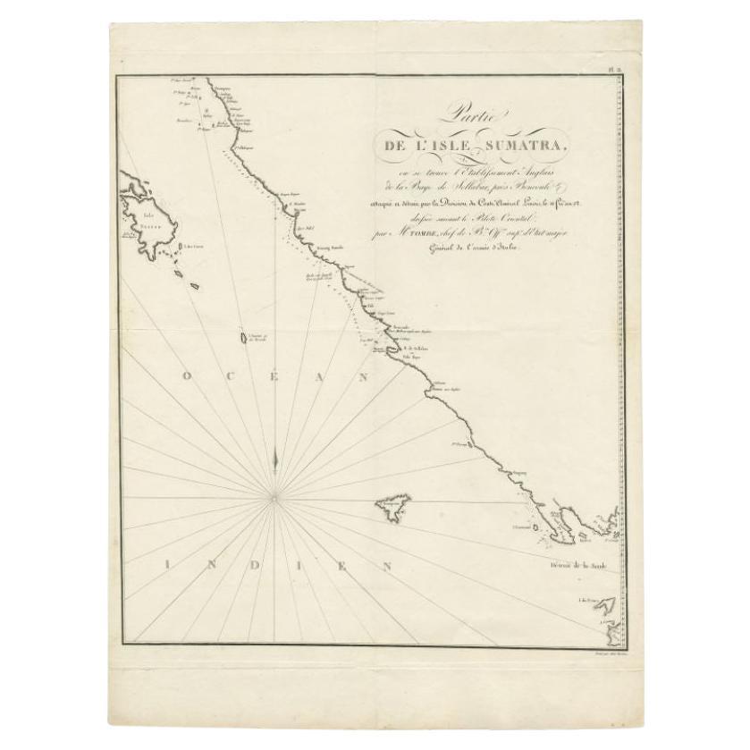
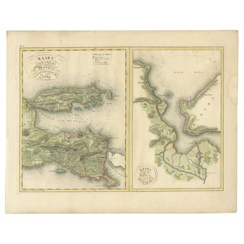
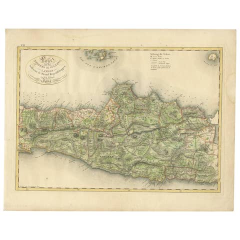
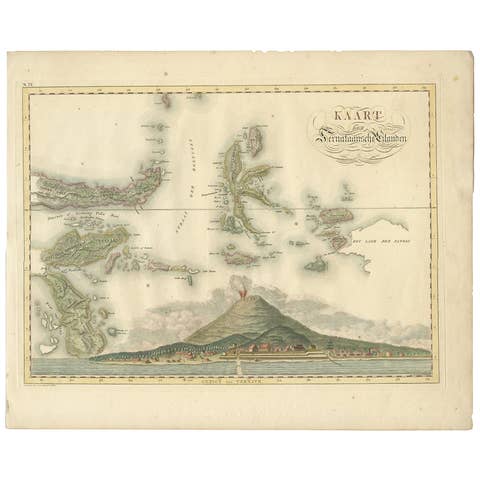
Antique map Sumatra titled 'Partie de l'Isle Sumatra'. Part of the Island of Sumatra, where the English settlement of the Bay of Sellabar near Bencoute can be found. Originates from 'Voyage aux Indes Orientales, pendant les annees'. Artists and Engravers: Engraved by Tardieu. Published by A. Bertrand, Paris.
Condition: Good, general age-related toning. Some tears along the folding lines, please study image carefully.
Date: 1811
Overall size: 40.5 x 53 cm.
Image size: 0.001 x 38 x 43 cm.
They were the product of engraved, etched or lithographed plates. These plates were handmade out of wood or metal, which required an incredible level of skill, patience and craftsmanship. Whether you have a house with Victorian furniture or more contemporary decor an old engraving can enhance your living space. We offer a wide range of authentic antique prints for any budget.