Maps & PrintsBartele Gallery · Langweer
Home / Antique Maps / Asia / South-East Asia / East Indies

East Indies · 19th century

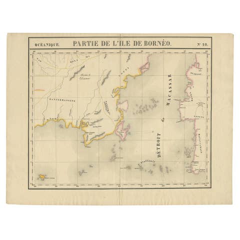
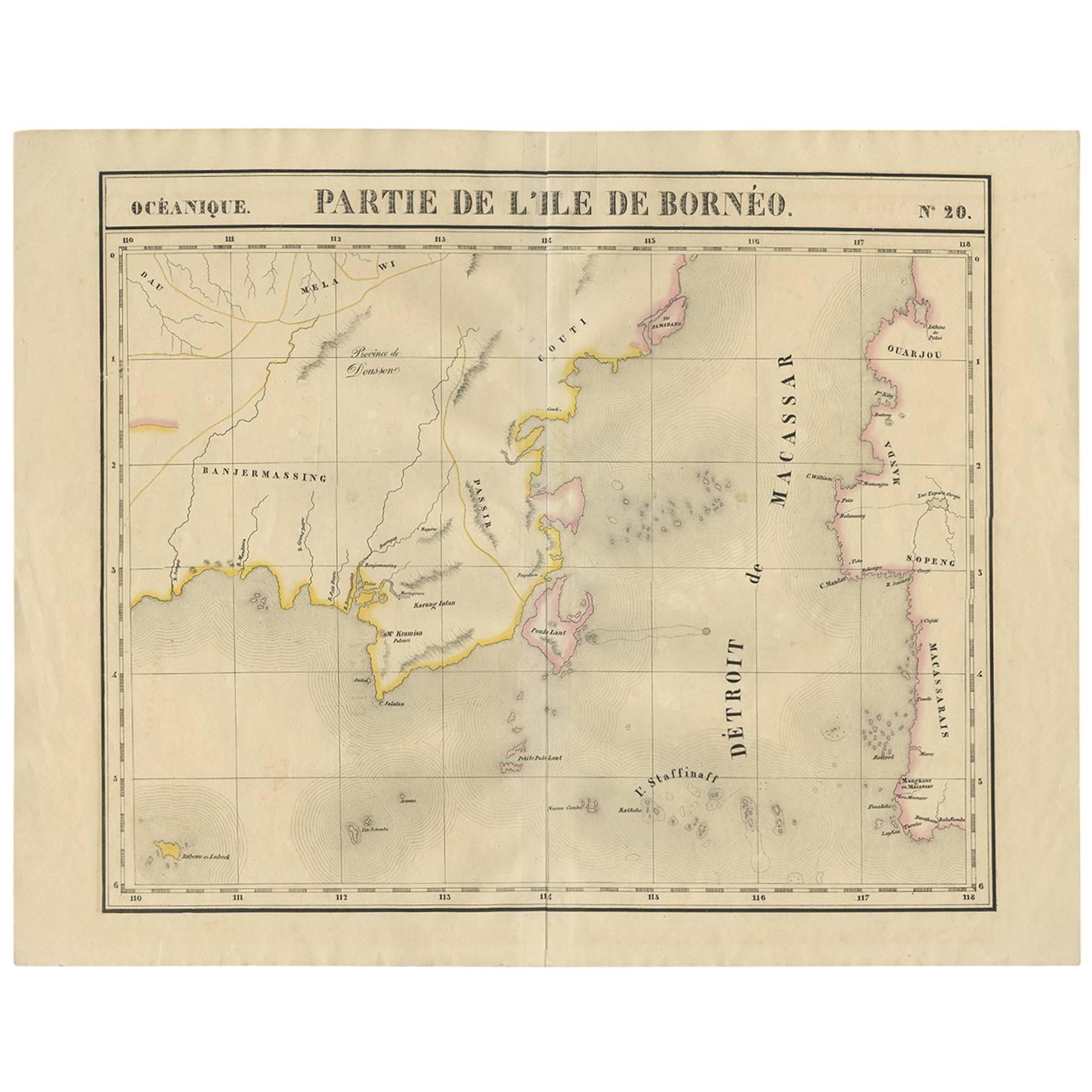
Antique Map of Southeast Borneo by P.M.G. Vandermaelen, 1827

€ 565

One of a kind: this is the sheet in the photographs. Ships from Langweer, the Netherlands.

Date
1827
Sheet size
53 × 67 cm (20.9 × 26.4 in)
Condition
Good
Reference
D-0458

Condition

Minor staining, small tear at the bottom of the folding line. Please study image carefully.
About this sheet

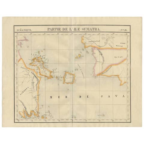
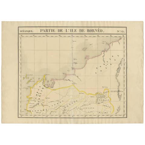
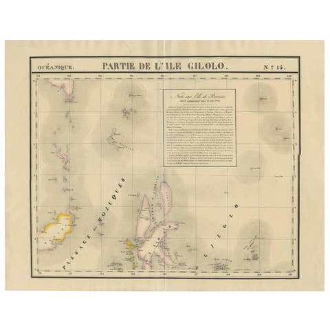
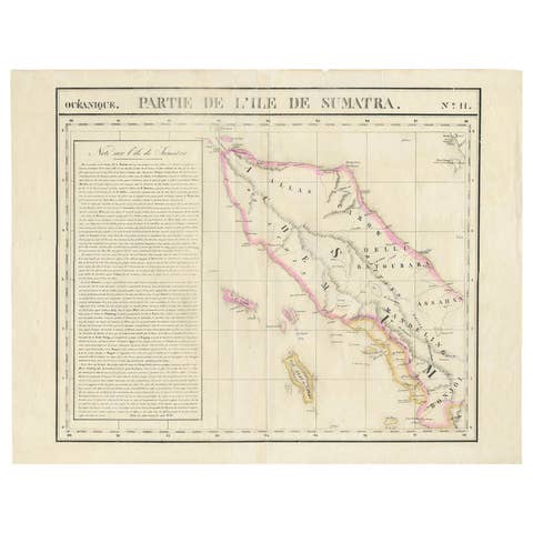
Striking and highly detailed unusual large-format fine example of Vandermaelen's map covering part of the south-eastern part of Borneo and western tip of Sulawesi. The map provides good topographic details on lakes, rivers, islands and mountains.

More from East Indies

Ask about this sheet

Antique Map of Southeast Borneo by P.M.G. Vandermaelen, 1827
1827 · Ref. D-0458 · € 565
We reply by email, usually within one working day.