About this sheet
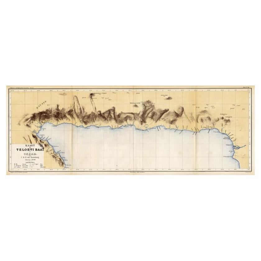
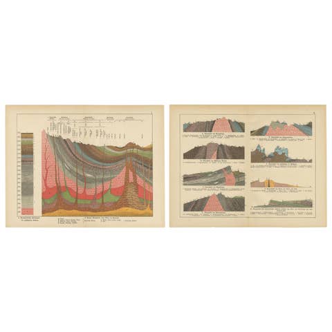
Antique map titled 'Kaart der Teloeti Baai op Ceram.' This scarce map shows the Taluti Bay on the Moluccan island of Ceram. Originates from 'Tijdschrift Aardrijkskundig Genootschap', published by C. F. Stemler in Amsterdam, ca. 1875. Artists and Engravers: Map by C.B.M. von Rosenberg. Lithographed by J. Postma.
Condition: Good, general age related toning; some light staining from handling.
Date: c.1875
Overall size: 76 x 27.5 cm.
Image size: 0.001 x 73.5 x 25 cm.
They were the product of engraved, etched or lithographed plates. These plates were handmade out of wood or metal, which required an incredible level of skill, patience and craftsmanship. Whether you have a house with Victorian furniture or more contemporary decor an old engraving can enhance your living space.