Maps & PrintsBartele Gallery · Langweer
Home / Antique Maps / Australia & Oceania

Australia & Oceania · 19th century

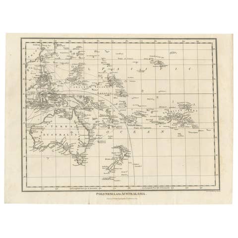
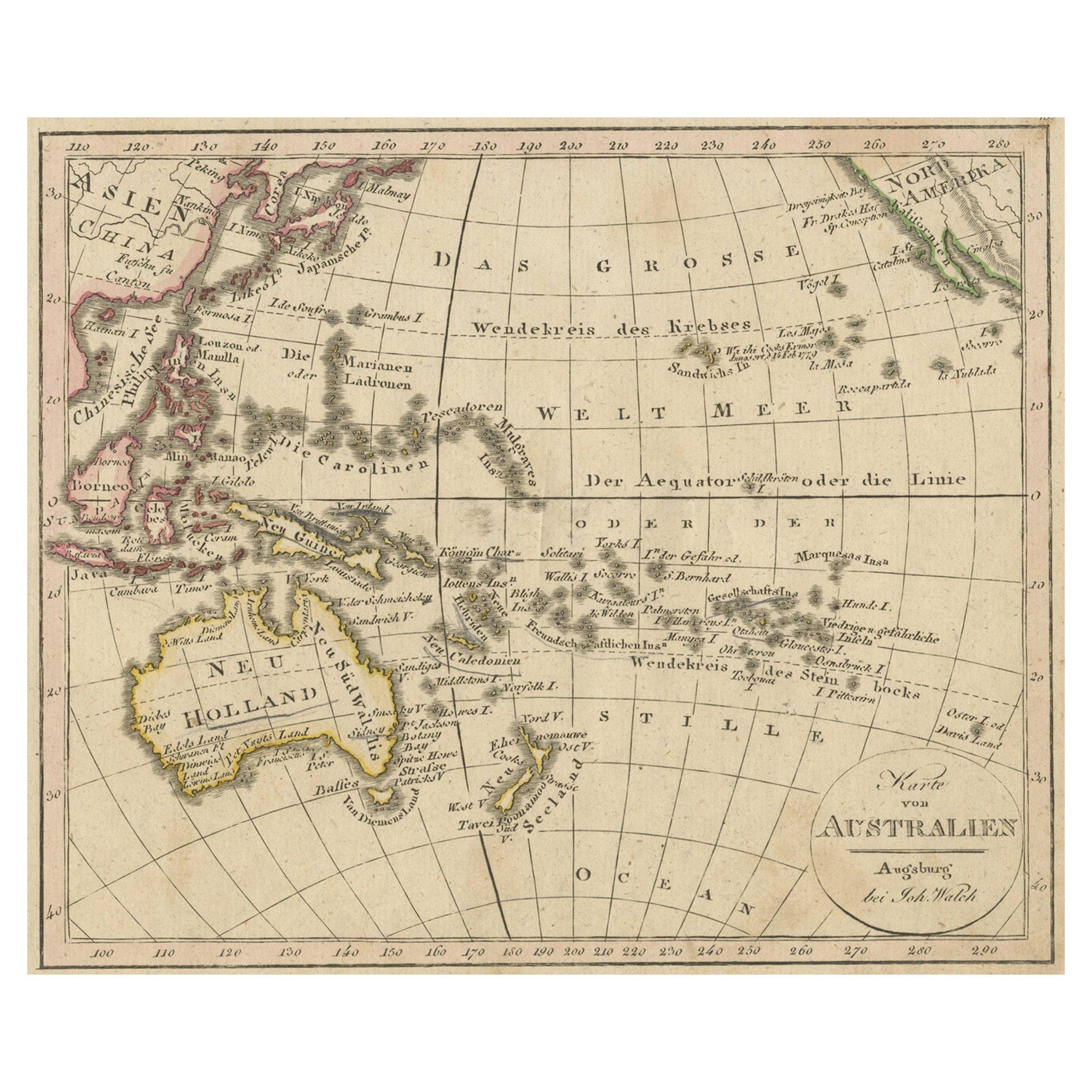
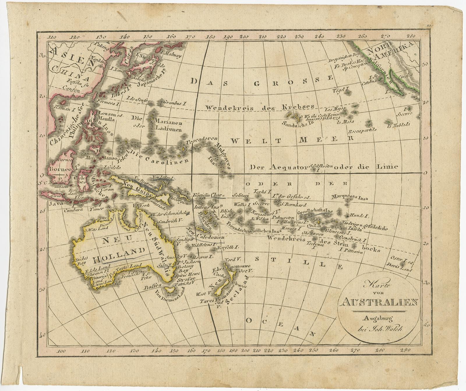
Antique Map of Oceania and the Pacific Ocean, Australia and New Zealand, 1826

€ 160

Original antique · The actual sheet photographed · Certificate of authenticity on request · Sold unframed · Worldwide shipping from € 15 (rates)

Date
1826
Sheet size
21.5 × 25 cm (8.5 × 9.8 in)
Condition
Good
Reference
BG-10053

About this sheet

Antique map of Australia titled 'Karte von Australien'. Old map of Australia and New Zealand. Published in Walch's 'Neuester Schul-Atlas'.

Artists and Engravers: Johann, or Johannes, Walch (1757-1816) was a painter and engraver. He was well-known for painting miniature portraits, having trained in Geneva, Venice, and Rome. Walch published several atlases and sheet maps. As with his atlases, many of Walch’s maps were reprinted after his death.

Condition: Good, general age-related toning and some staining. Small tear lower left margin. Please study image carefully.
Date: 1826
Overall size: 25 x 21.5 cm.
Image size: 22 x 18 cm.

More from Australia & Oceania

Ask about this sheet

Antique Map of Oceania and the Pacific Ocean, Australia and New Zealand, 1826
1826 · Ref. BG-10053 · € 160
We reply by email, usually within one working day.