Maps & PrintsBartele Gallery · Langweer
Home / Antique Maps / Europe / Western Europe / France

Antique Maps of France

158 original sheets
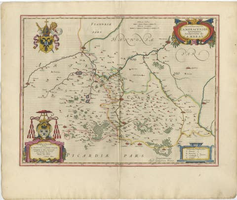
Blaeu Map of Cambrai, Artois & Hainaut – Heraldic France c.1642
1642 · € 4 250
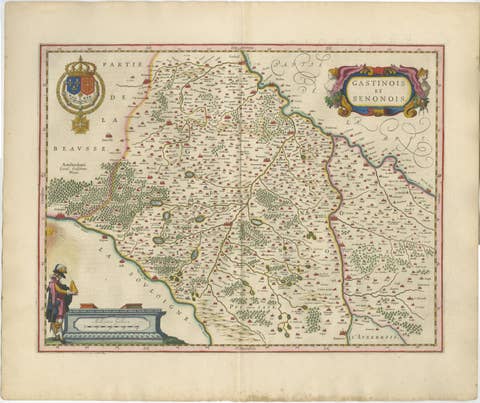
Antique Blaeu Map of Gâtinais & Sénonais France, c. 1642 Hand Color
1642 · € 1 950
Antique Blaeu Map of Champagne France, Campania Comitatus, c. 1642
1642 · € 3 450
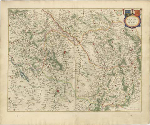
Antique Blaeu Map of Reims & Rethel Champagne France, c. 1642
1642 · € 2 950
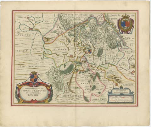
Antique Blaeu Map of Sedan & Donchery France, c. 1642 Hand Color
1642 · € 2 150
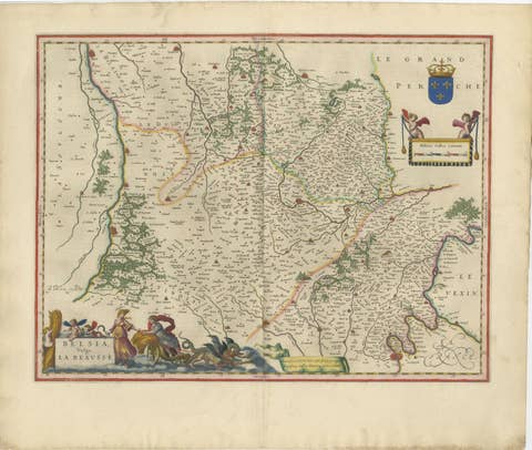
Antique Blaeu Map of Beauce & Perche France, c. 1642 Hand Color
1642 · € 3 250
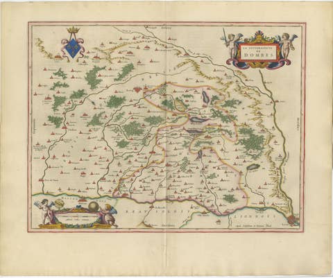
Blaeu's Dombes, Lyonnais and Bresse, France – Original 1642 Map
1642 · € 2 250
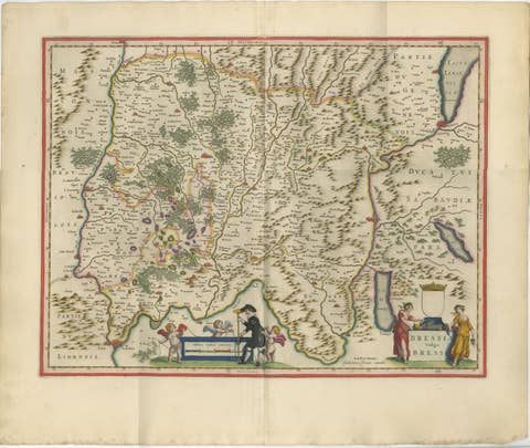
Antique Blaeu Map of Bresse & Dombes, Eastern France – Hand-Colored, c.1642
1642 · € 2 750
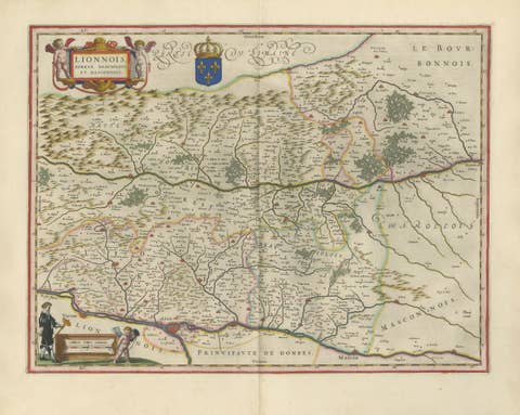
Antique Blaeu Map of Lyonnais, Forez, Beaujolais & Mâconnais, 1642
1642 · € 2 250
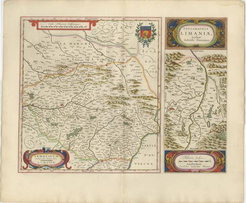
Antique Blaeu Map of Limousin and Limagne, France, circa 1642
1642 · € 2 050
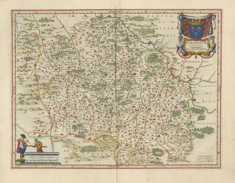
Antique Blaeu Map of Bourbonnais, Moulins and Vichy, France, 1642
1642 · € 2 050
Antique Blaeu Map of Nevers, Nivernais and Morvan, France, 1642
1642 · € 1 950
Antique Blaeu Map of Berry, Bourges and Sancerre, France, 1642
1642 · € 2 050
Antique Map of Languedoc and Southern France by Gerard and Leonard Valck, c.1700
1700 · € 545

Your favorites

Saved in this browser. Email the list to yourself to keep it on any device.

We use your email to send this list and, only if you tick the box and confirm, for occasional new arrivals. Every email has an unsubscribe link. Bartele Gallery, the Netherlands.