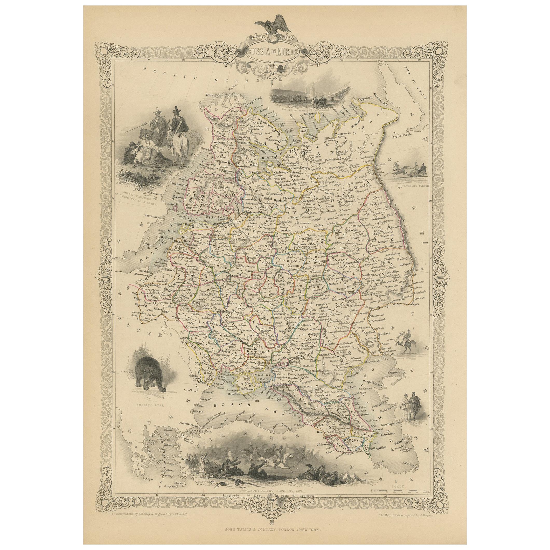
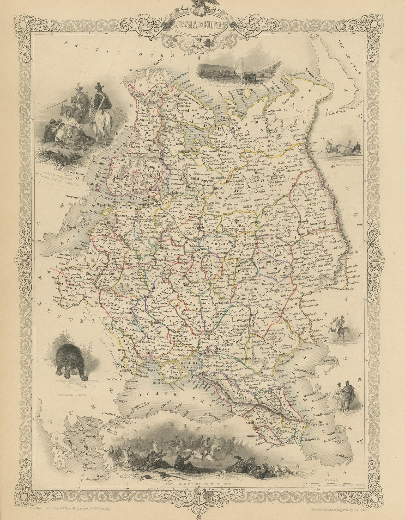
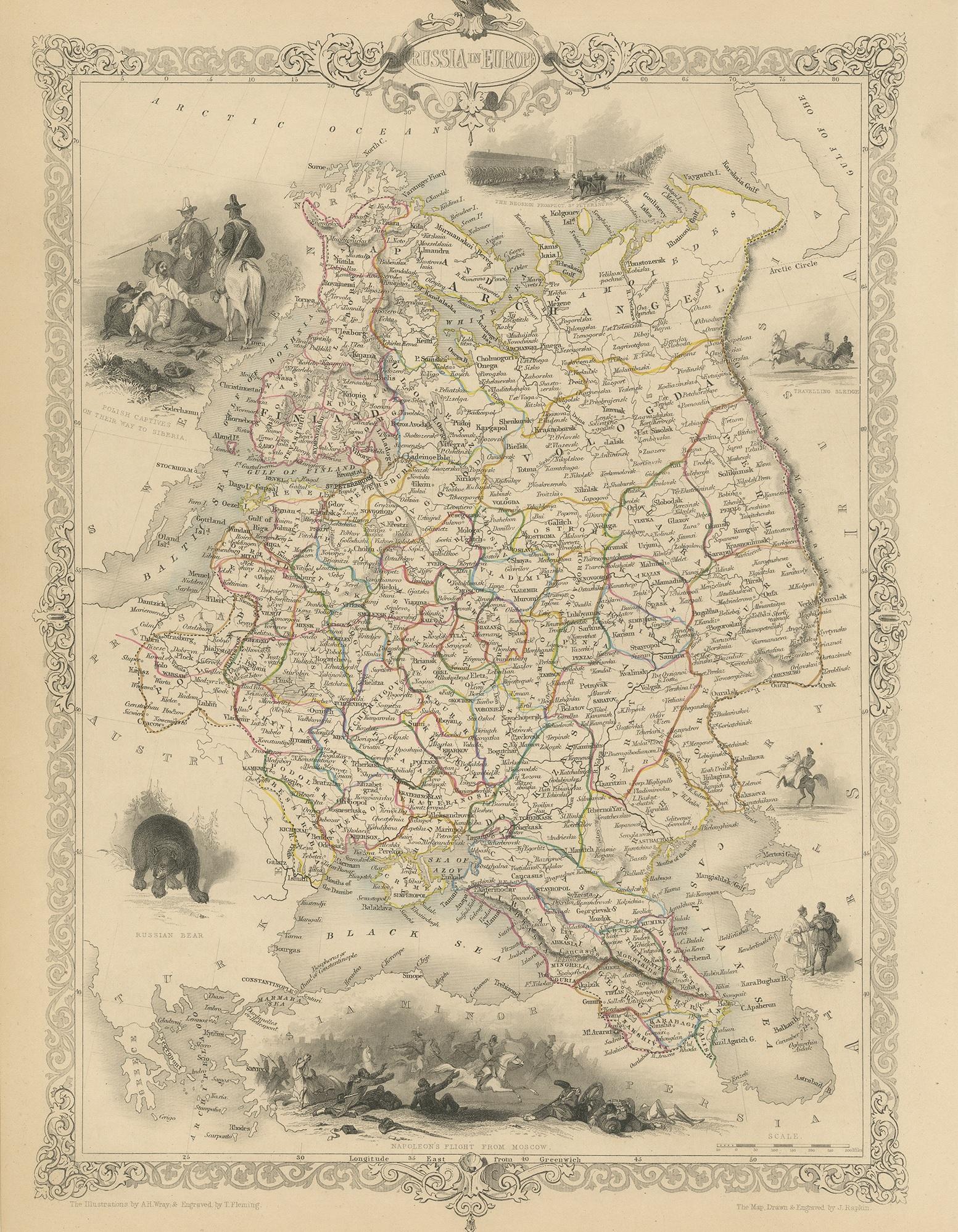
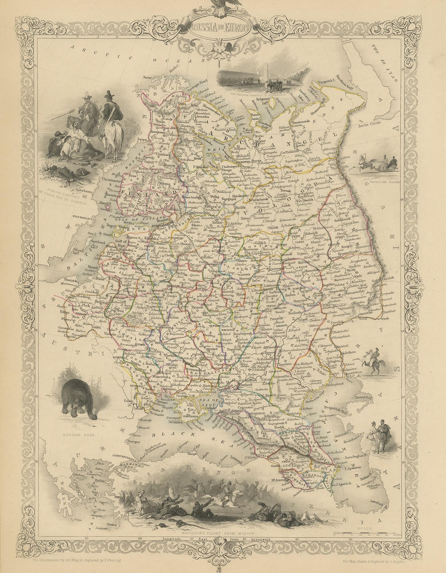
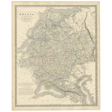
Antique Map of Russia in Europe by John Tallis, Paper Print, 1851
€ 270
One of a kind: this is the sheet in the photographs. Ships from Langweer, the Netherlands.
Date
1851
Sheet size
37 × 26.5 cm (14.6 × 10.4 in)
Condition
Good
Reference
BG-04982
Condition
General age-related toning. Minor wear, blank verso. Please study image carefully.
About this sheet
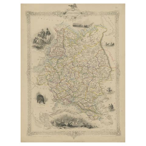
Antique map titled 'Russia in Europe'. Map of European Russia. Showing vignettes of the Neoskoi Prospect, St. Petersburg, Polish Captives on their way to Siberia, a Russian Bear, Russian Horseman, Travelling Sledge, costumed Russians, and Napoleon's Flight from Moscow. Originates from 'The Illustrated Atlas, And Modern History Of The World Geographical, Political, Commercial & Statistical, Edited By R. Montgomery Martin'. Published; John Tallis London, New York, Edinburgh & Dublin, 1851. Drawn and Engraved by J. Rapkin.