
Maps & PrintsBartele Gallery · Langweer
Home / Antique Maps / Europe / Eastern Europe

Eastern Europe · 19th century

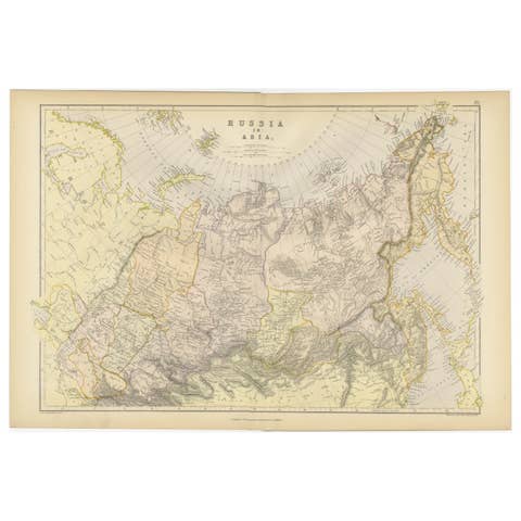
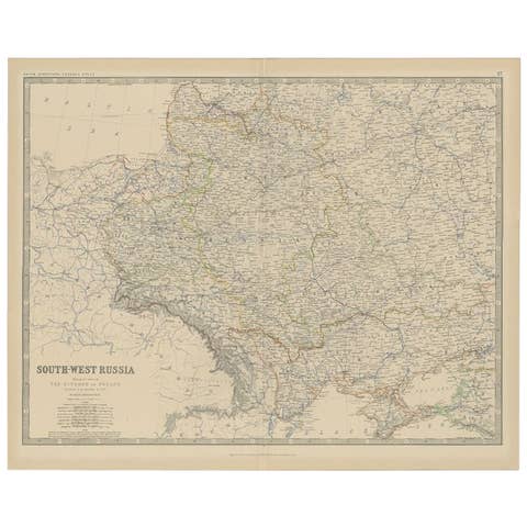
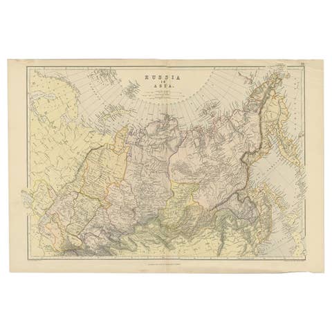
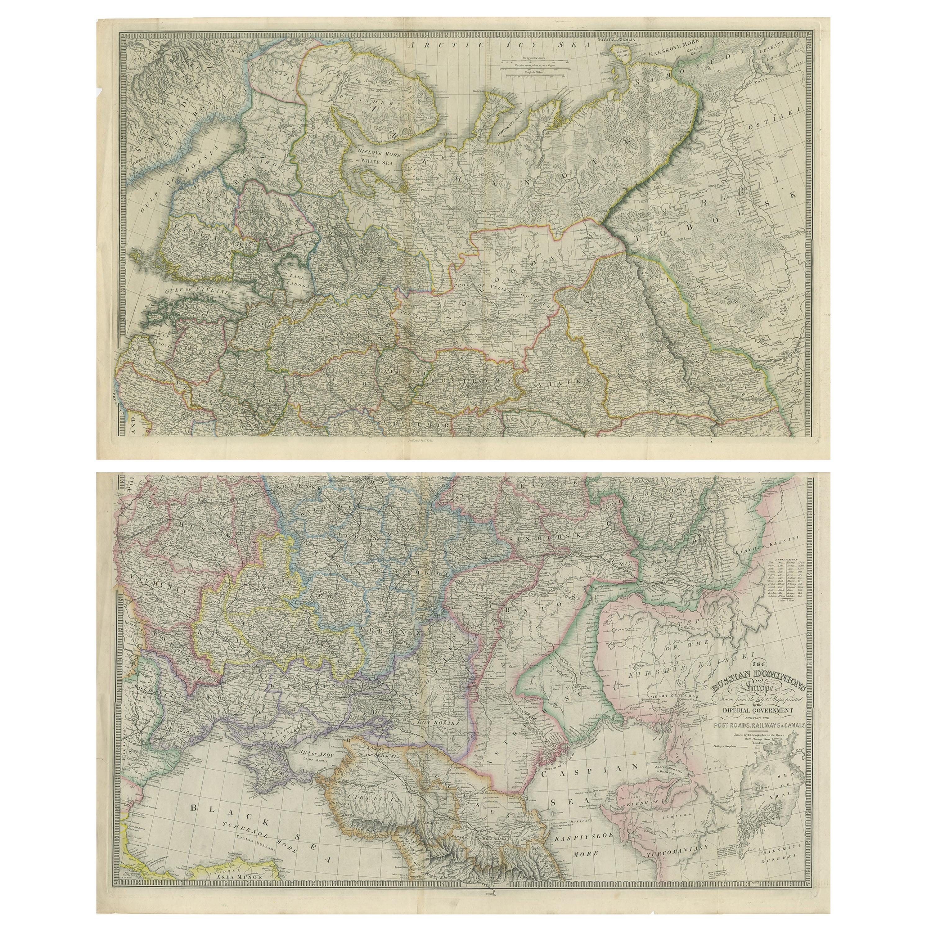
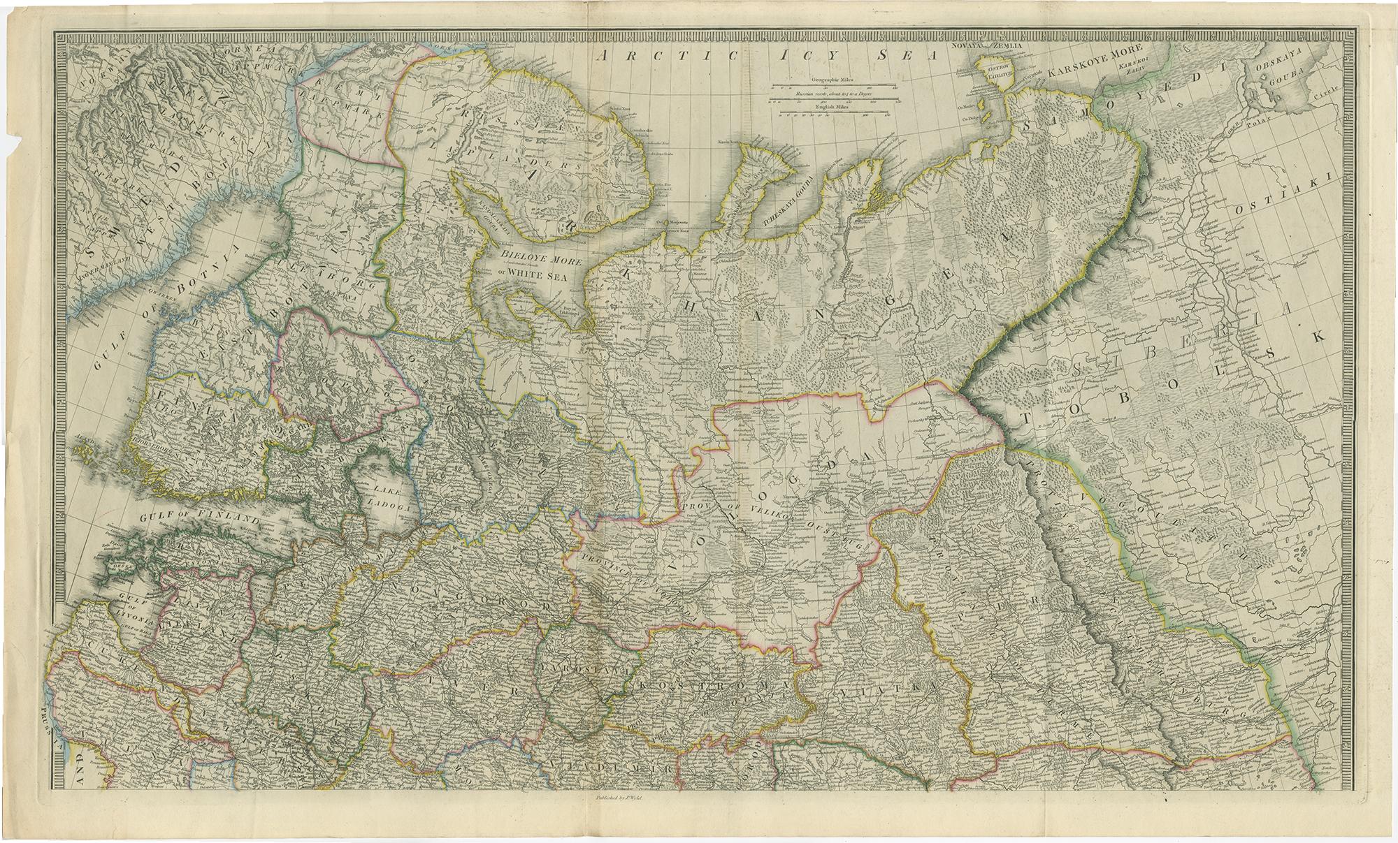
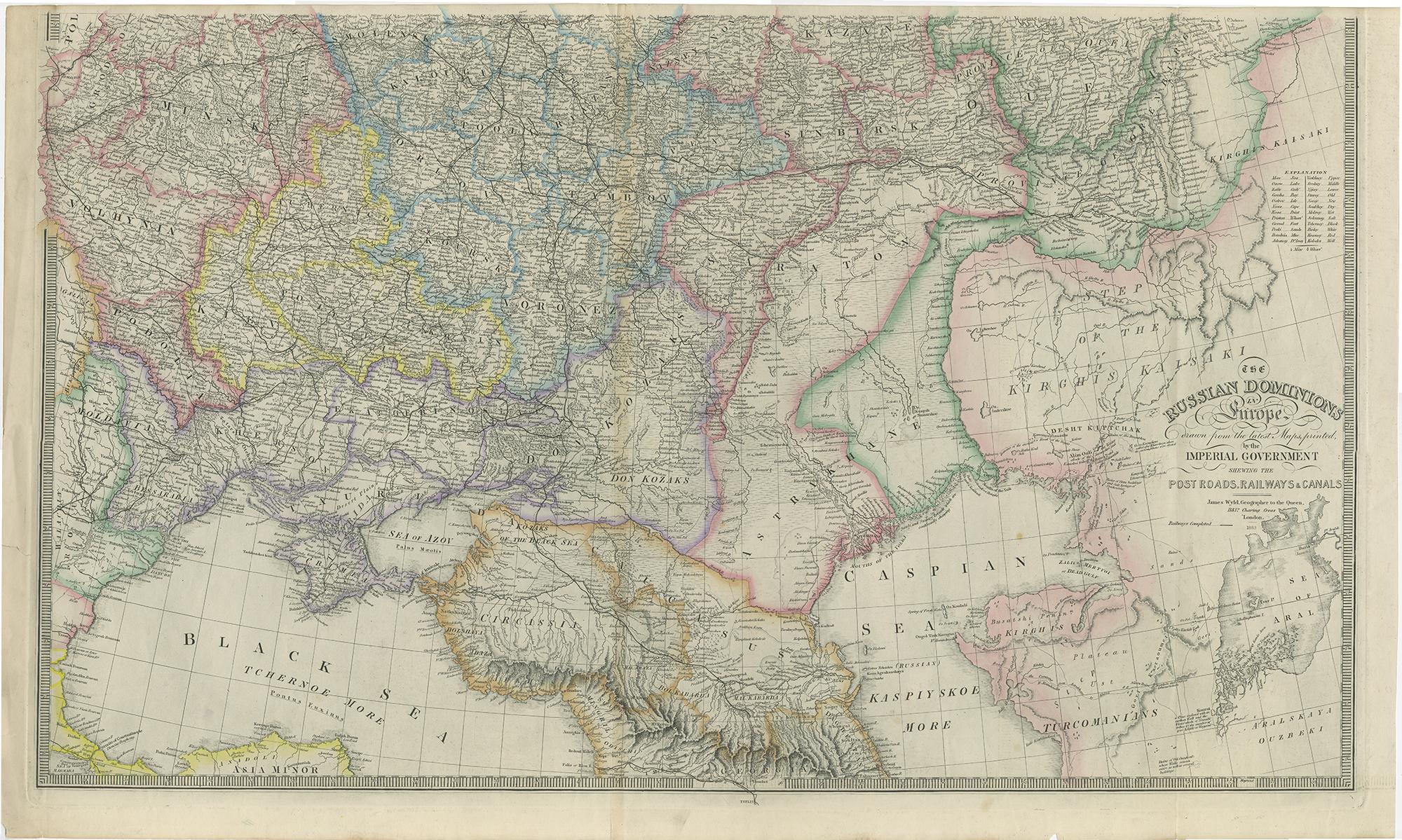
Set of 2 Antique Maps of Russia by Wyld, 1883

€ 1 250

One of a kind: this is the sheet in the photographs. Ships from Langweer, the Netherlands.

Date
1883
Sheet size
58 × 96 cm (22.8 × 37.8 in)
Condition
Good
Reference
BG-12711

Condition

Individual sheets with different outline coloring. Original folding lines, general age-related toning. Minor wear and small tears, slightly affecting image. Please study images carefully.

About this sheet

Antique map titled 'The Russian Dominions in Europe (..)'. Two separate sheets of Russia, remarkably detailed. Published by James Wyld, 1883.

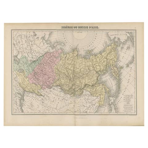
Please note, the last image is an impression. No frames included.

More from Eastern Europe

Ask about this sheet

Set of 2 Antique Maps of Russia by Wyld, 1883
1883 · Ref. BG-12711 · € 1 250
We reply by email, usually within one working day.