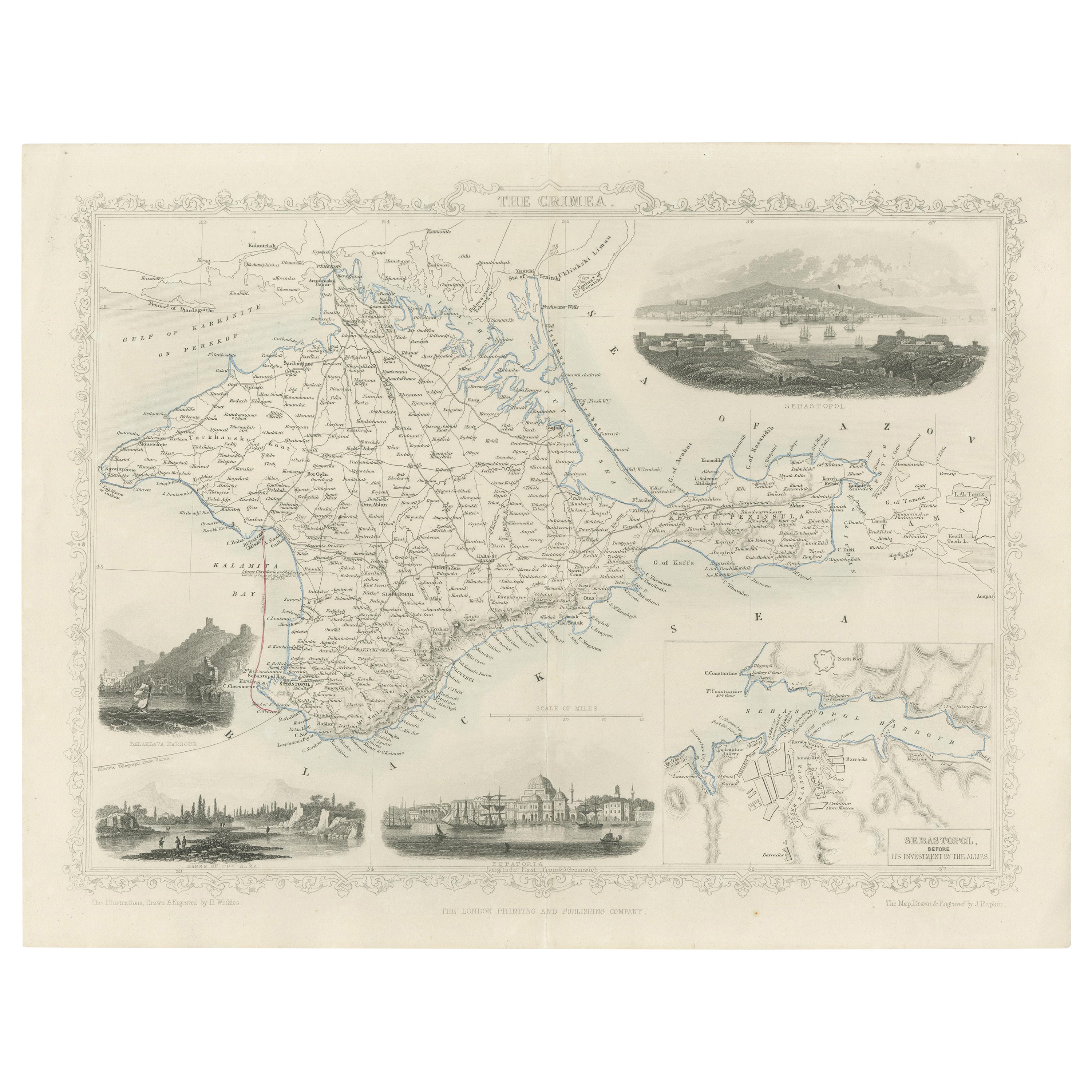
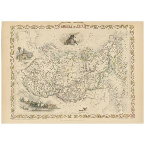
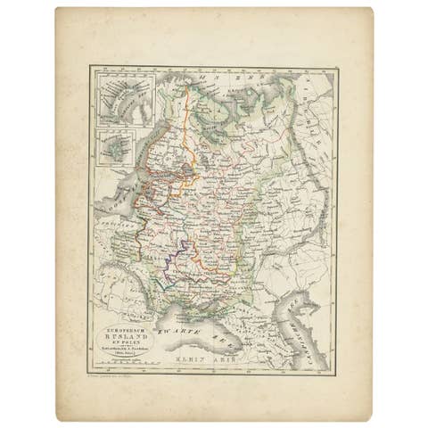
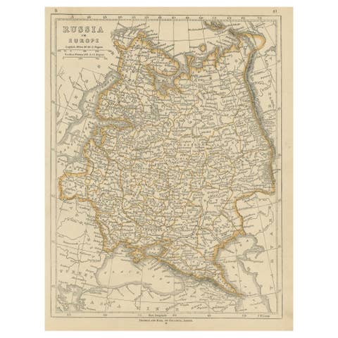
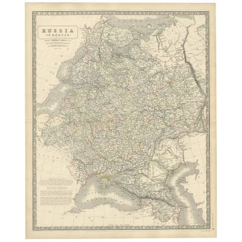
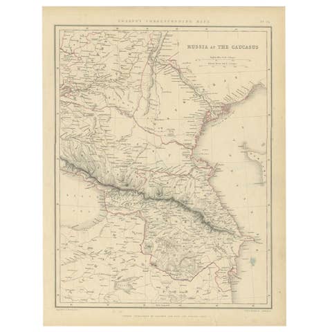
A Decorative Detailed Map of the Crimea, with an Inset Map of Sebastopol, c 1851
€ 550
One of a kind: this is the sheet in the photographs. Ships from Langweer, the Netherlands.
Date
1851
Sheet size
27.5 × 36 cm (10.8 × 14.2 in)
Condition
Good
Reference
BG-13121-2
Condition
Good condition. Minor wear due to age and handling over the years. Please study the image carefully or ask for more pictures.
About this sheet
Date: 1851 Artist and Engraver: J Rapkin Vingettes: Artist and Engraver: H. Winkles Paper Size: 350 x 270mms Condition: good Technique: original steel engraving A decorative, detailed and historically interesting mid 19th century map of the Crimea -- with an inset plan of Sebastopol -- which was drawn and engraved by J. Rapkin (vignettes by H. Winkles) and published first in John Tallis's Illustrated Atlas* (London:c.1853) and then Henry Tyrell's The History of the War with Russia (London: London Publishing Co, 1858). This map was published at the time of the Crimean War with the main areas of conflict being in the Black Sea and Crimean Penninsula.
*The Illustrated Atlas, published from 1849 to 1853, was the last decorative world atlas. 'The Crimea' map was typical of the many fine ones which appeared in this work with its decorative border and attractive vignettes. Illustrated are views of 'Sebastopal' (Sevastopol), Balaclava Harbour, the banks of the Alma River, Balaklava Harbour, and Banks of the Alma, Eupatoria.
John Tallis and Company published views, Maps and Atlases in London from roughly 1838 to 1851. The principal works, expanding upon the earlier works of Cary and Arrowsmith, include an 1838 collection of London Street Views and the 1849 Illustrated Atlas of the World. His principal engraver was John Rapkin, whose name and decorative vignettes appear on most Tallis & Co. maps. Due to the decorative style of Rapkin's work, many regard Tallis maps as the last bastion of English decorative cartography in the 19th century. Though most Tallis maps were originally issued uncolored, it was not uncommon for 19th century libraries to commission colorists to "complete" the atlas. The London Printing and publishing Company of London and New York bought the rights for many Tallis maps in 1850 and continued Publishing his Illustrated Atlas of the World until the mid 1850s. Specific Tallis maps later appeared in innumerable mid to late 19th century publications as illustrations and appendices.
Tallis, J., The Illustrated Atlas, And Modern History Of The World Geographical, Political, Commercial & Statistical, 1851.