Antique Maps of Europe
639 original sheets
Western Europe 1908Northern Europe 146Central Europe 88Eastern Europe 102South-East Europe 135Southern Europe 275Europe as a Whole 169
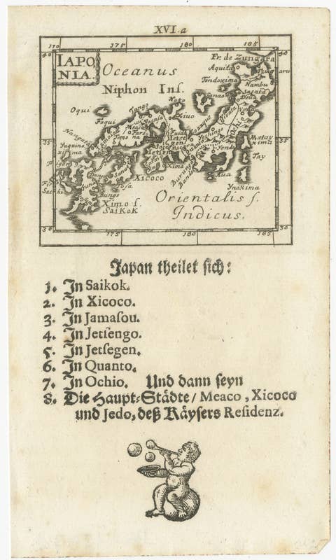
Rare 1683 Mallet Miniature Map of Japan “Iaponia” with German Text
1683 · € 290
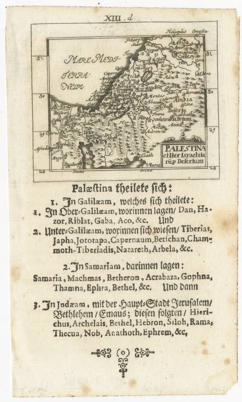
17th Century Holy Land Map “Palestina” with German Biblical Text, c.1650
1650 · € 390
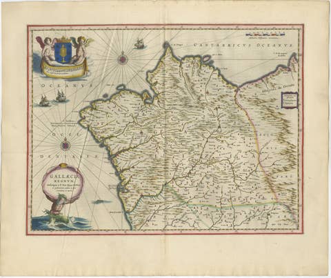
Blaeu Map of Galicia Spain, Decorative Dutch Golden Age Map, 1642
1642 · € 2 850
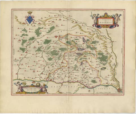
Blaeu's Dombes, Lyonnais and Bresse, France – Original 1642 Map
1642 · € 2 250
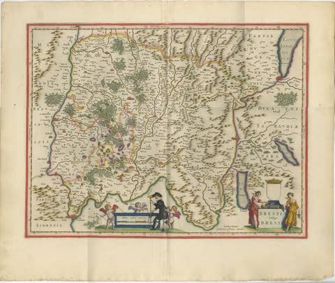
Antique Blaeu Map of Bresse & Dombes, Eastern France – Hand-Colored, c.1642
1642 · € 2 750
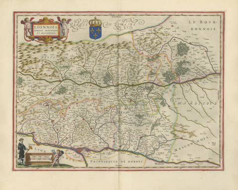
Antique Blaeu Map of Lyonnais, Forez, Beaujolais & Mâconnais, 1642
1642 · € 2 250
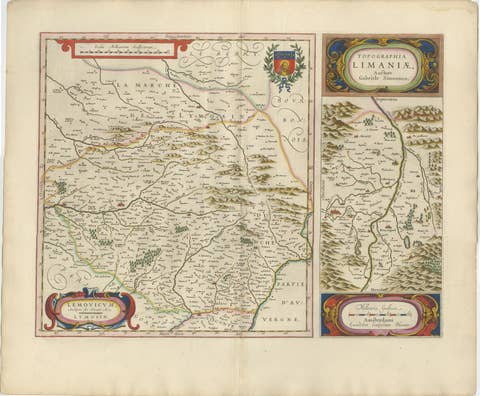
Antique Blaeu Map of Limousin and Limagne, France, circa 1642
1642 · € 2 050
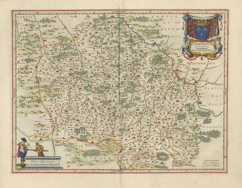
Antique Blaeu Map of Bourbonnais, Moulins and Vichy, France, 1642
1642 · € 2 050

Antique Blaeu Map of Nevers, Nivernais and Morvan, France, 1642
1642 · € 1 950

Antique Blaeu Map of Berry, Bourges and Sancerre, France, 1642
1642 · € 2 050
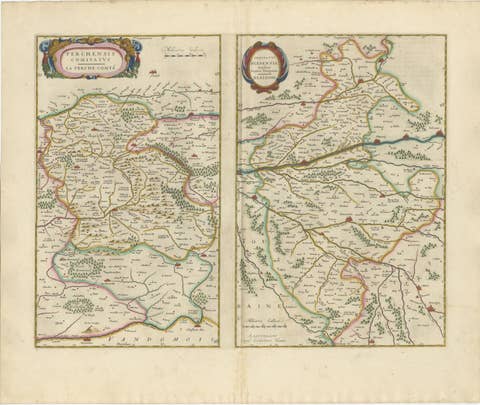
Antique Blaeu Double Map of Perche, Blois, Orléans and Tours, 1642
1642 · € 1 950
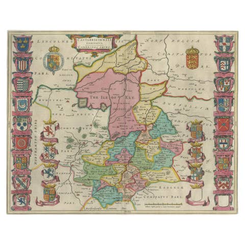
Antique Map of Cambridgeshire & Cambridge by Joan Blaeu, Hand-Colored, 1645
1645 · € 1 200
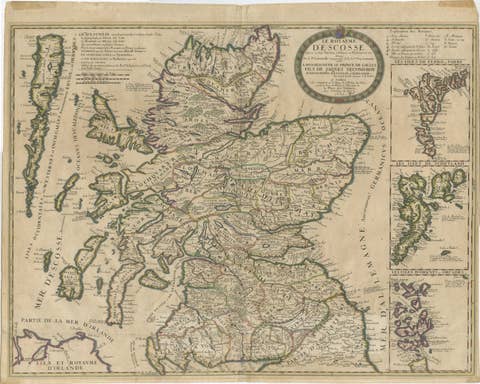
Antique Map of Scotland by Nolin and Coronelli with Island Insets, 1689
1689 · € 795
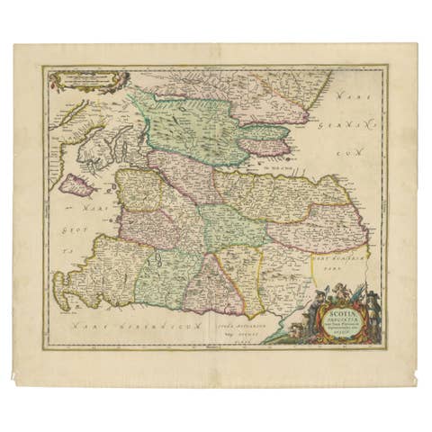
Scotiae Provintiae Inter Taum Fluvium et Septentrionales Oras Angliae, c.1660
1660 · € 795

Antique Map of Languedoc and Southern France by Gerard and Leonard Valck, c.1700
1700 · € 545