About this sheet
Antique Blaeu Double Map of Perche, Blois, Orléans and Tours, 1642
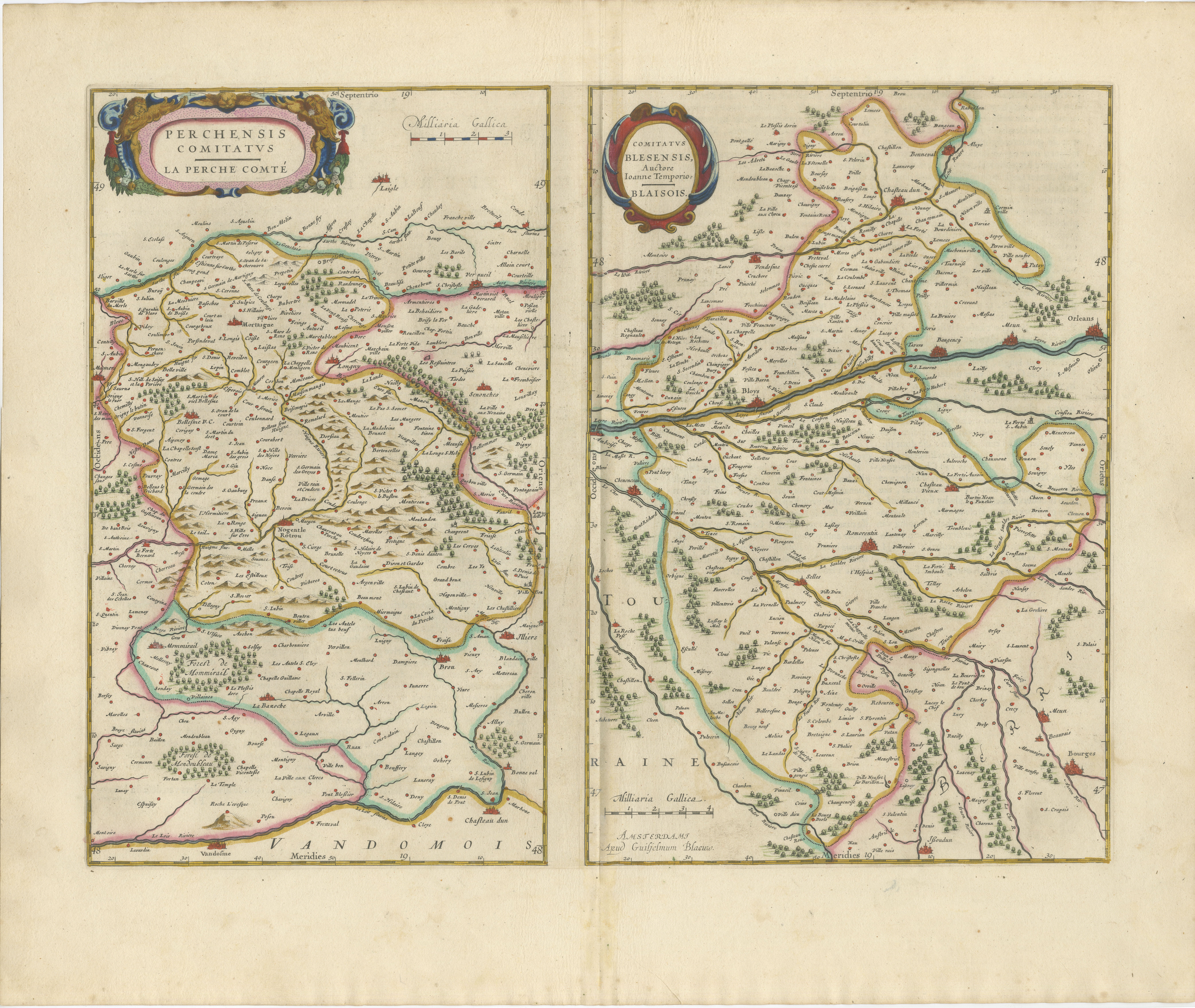
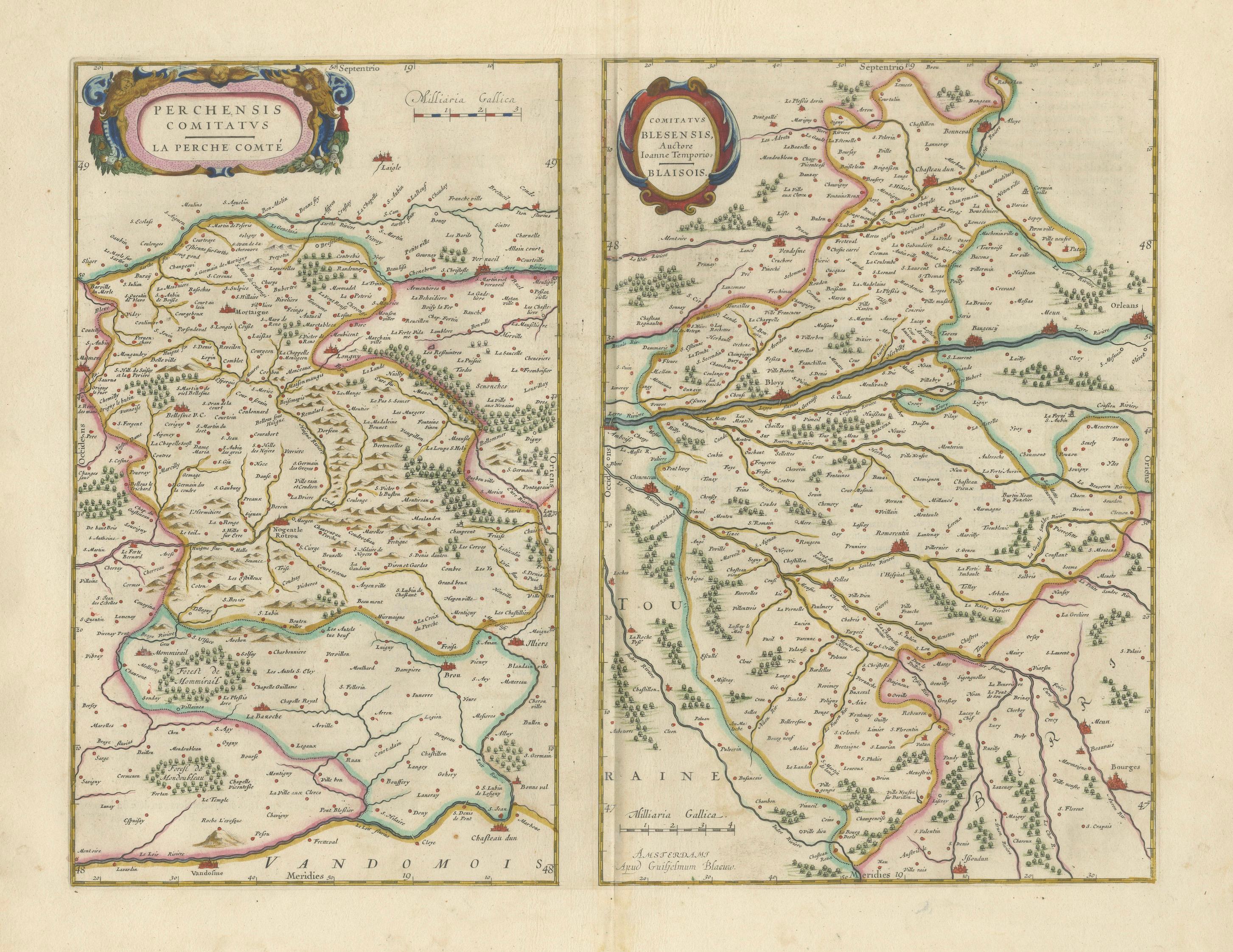
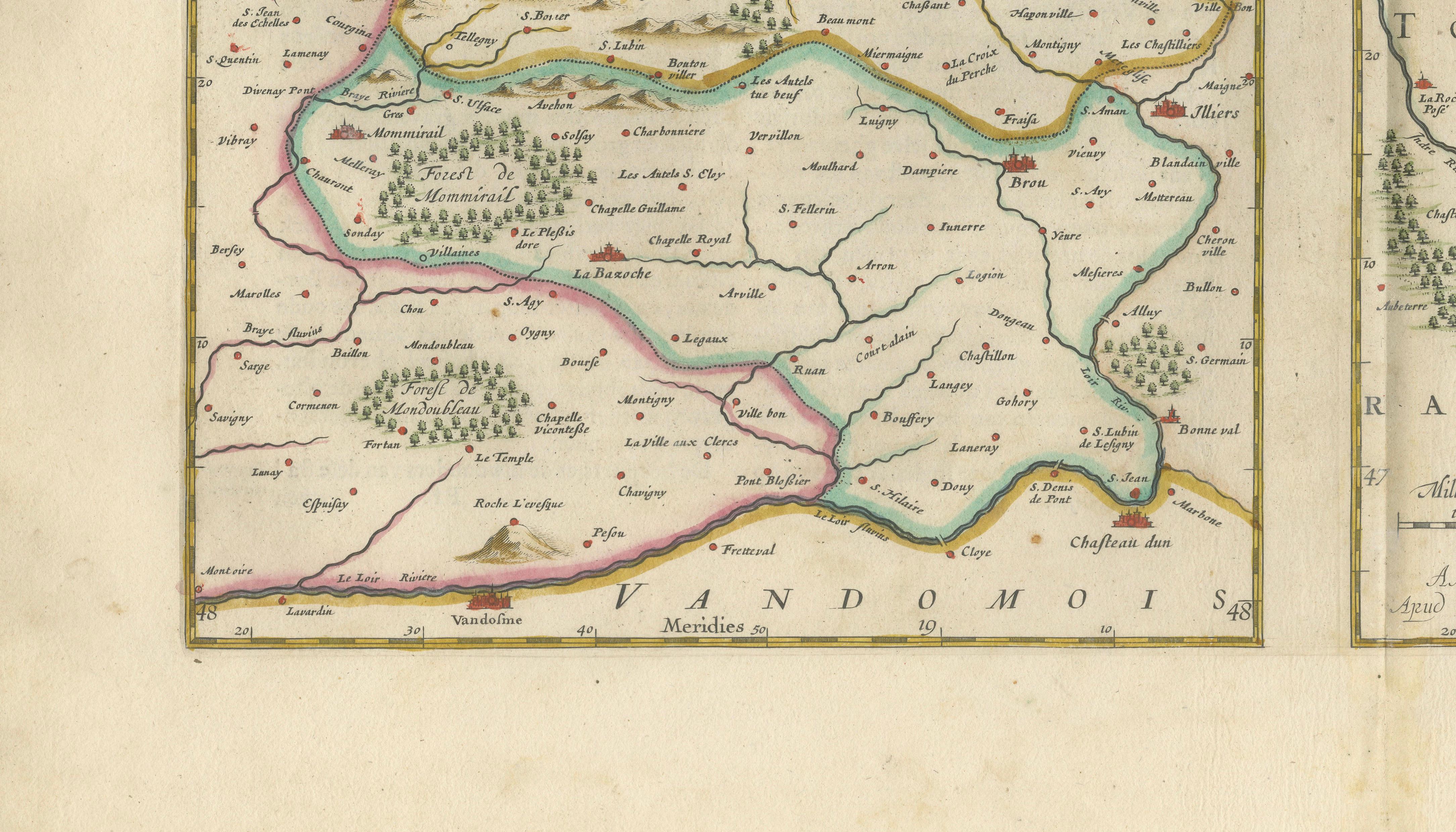
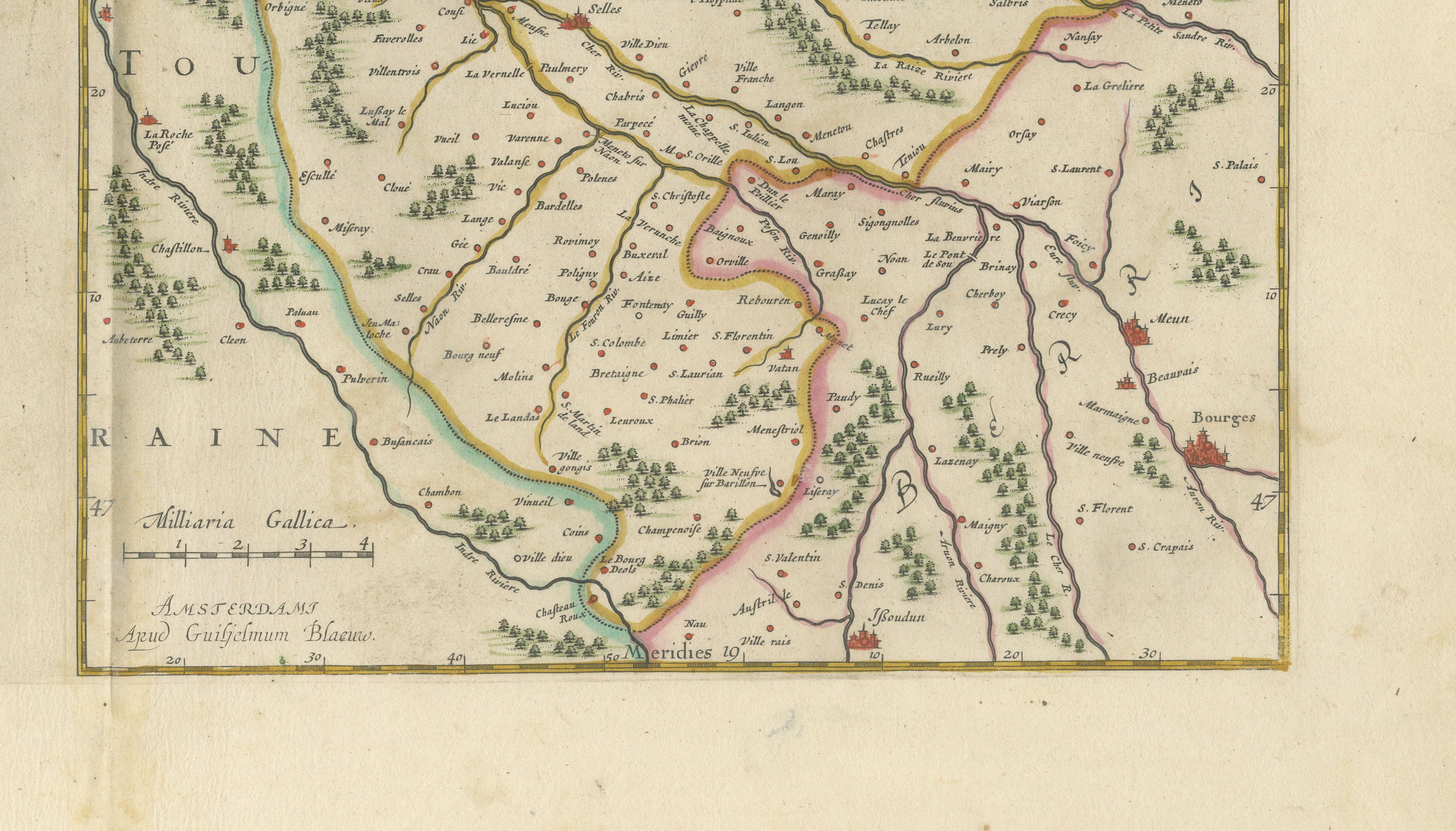
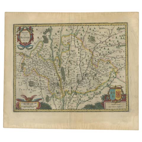
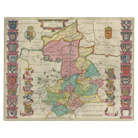
This original seventeenth-century sheet contains two separately titled maps of historic regions in northern and central France. The map on the left depicts the county of Perche, while the map on the right presents the Blaisois region around Blois, Orléans and the Loire Valley.
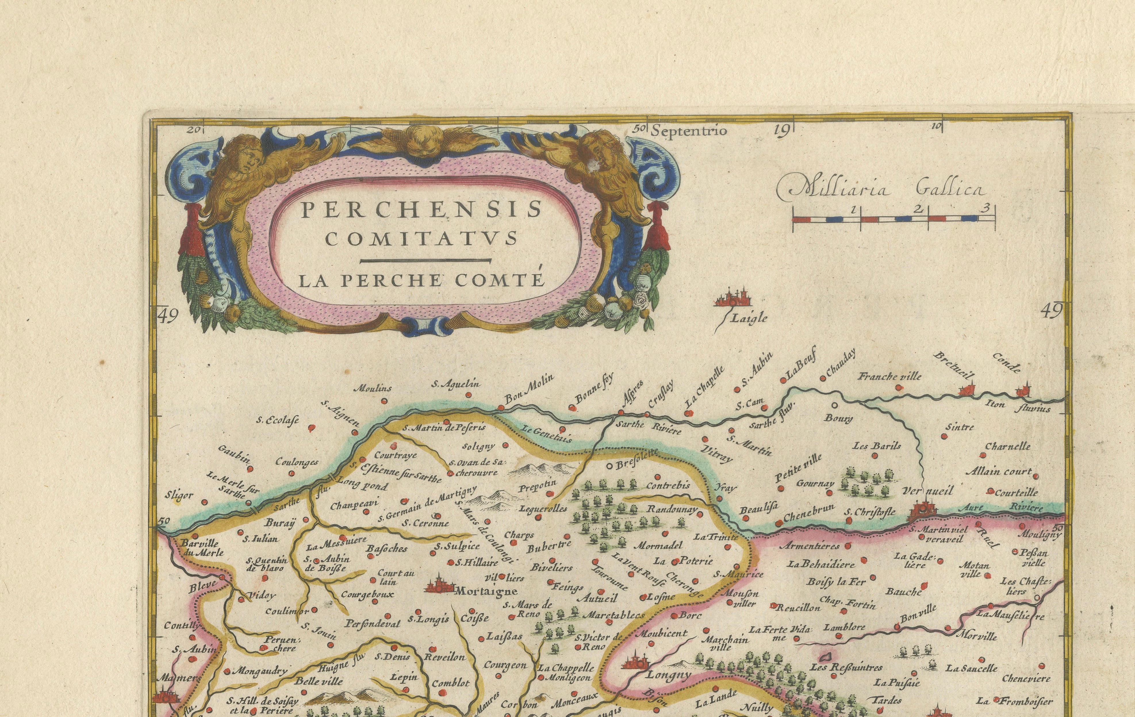
The left-hand map is titled “Perchensis Comitatus. La Perche Comté.” It records numerous towns, villages, rivers, wooded areas and historic boundaries across the former county of Perche, including the area around Nogent-le-Rotrou and neighbouring parts of Normandy and Maine.
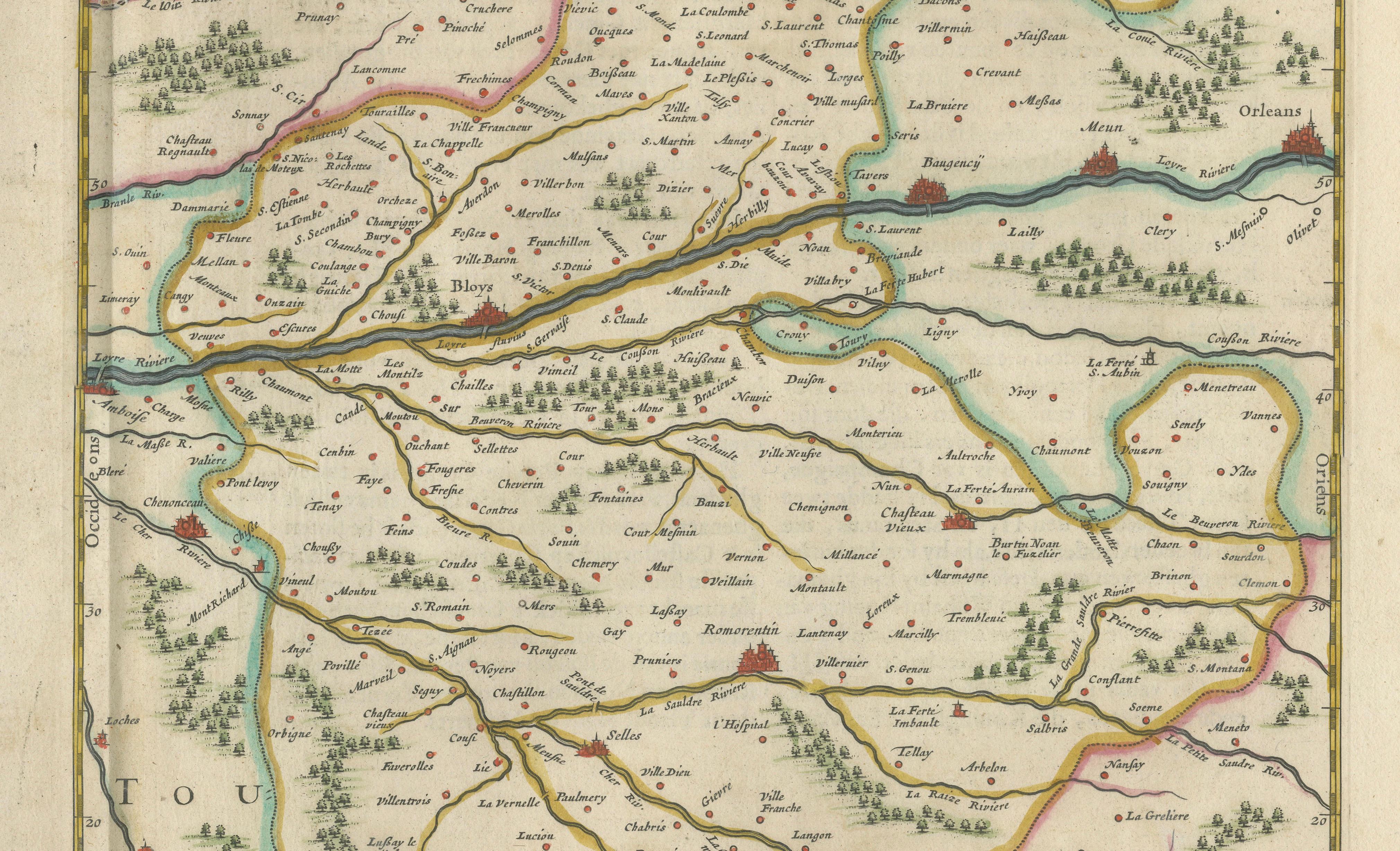
The right-hand map is titled “Comitatus Blesensis, Auctore Ioanne Temporio. Blasois.” It is based on the cartography of Jean de Tempe and depicts the region surrounding Blois, with Orléans, Bourges, Tours and the courses of the Loire and Cher rivers also shown.
Published by the Blaeu workshop in Amsterdam, the sheet belongs to the celebrated atlas tradition established by Willem Janszoon Blaeu. Comparable examples are recorded in Blaeu atlas editions of the 1630s and 1640s, including editions issued around 1640–1642.
The unusual double-map composition gives the sheet considerable decorative appeal. Each map has its own finely engraved cartouche, while hand-coloured boundary lines distinguish the historic territories. Rivers, settlements, forests and relief are represented with the careful engraving and visual balance associated with Dutch Golden Age cartography.
The Blaisois map is particularly appealing for its connection with the Loire Valley, an area celebrated for its historic towns, Renaissance châteaux and longstanding wine traditions. Blois and Orléans are clearly marked, while Tours and Bourges appear farther south. The Perche region is known for its rural landscape and for the Percheron horse breed, historically developed in this part of France.
Willem Janszoon Blaeu was one of the leading cartographers, publishers and globe makers of the seventeenth century. Following his death in 1638, the Amsterdam firm continued under his sons, maintaining its reputation for precise engraving, attractive colouring and sophisticated atlas production.
This decorative double map would make an excellent addition to a collection of French regional cartography, Loire Valley material or Dutch Golden Age maps. Its vertical paired composition would also make it an attractive focal point in a library, dining room, study or refined interior.
Title: Perchensis Comitatus – La Perche Comté; Comitatus Blesensis – Blasois
Cartographic source for Blaisois: Jean de Tempe
Publisher: Blaeu workshop
Place of publication: Amsterdam
Date: Circa 1642
Technique: Hand-coloured copperplate engraving
Subject: Perche, Blois, Orléans, Tours and the Loire Valley, France
Condition: The map shows age-related toning, a central atlas fold and minor signs of handling consistent with its age. Please examine the photographs carefully, as they form an important part of the condition description.
This is an original seventeenth-century copperplate engraving and not a modern reproduction. Any images showing the map framed are provided for visual inspiration only. The map is supplied unframed.
Keywords:
Willem Blaeu, Joan Blaeu, antique map of France, Perche map, La Perche Comté, Blaisois map, Blois map, Orléans map, Tours map, Loire Valley map, Loire River map, Cher River map, French château region, French regional map, seventeenth-century map, 17th-century cartography, Dutch Golden Age map, Amsterdam cartography, double map, hand-coloured engraving, copperplate engraving, original antique map, Blaeu atlas map, Percheron horse region, French wine region, collector’s map