Antique Maps of South-East Asia
298 original sheets
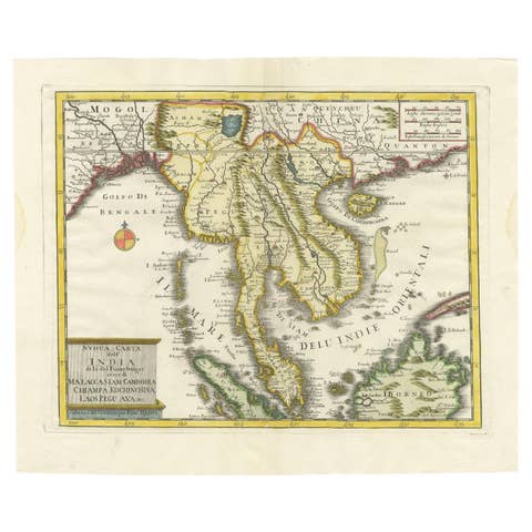
Antique Map of the Region Centered on the Malay Peninsula by Tirion 'c.1760'
1760 · € 975
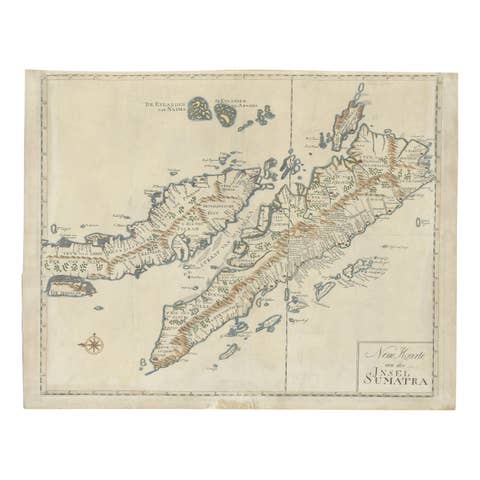
Antique Map of Sumatra, Indonesia 'c.1780'
1780 · € 3 500
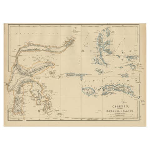
Antique Map of Celebes and the Maluku Islands by W. G. Blackie, 1859
1859 · € 200
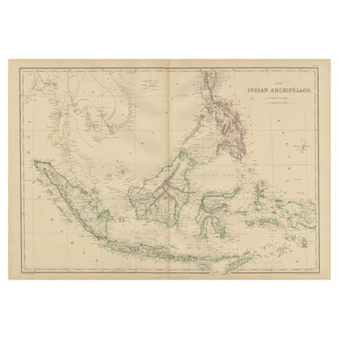
Antique Map of the East Indies by W. G. Blackie, 1859
1859 · € 275
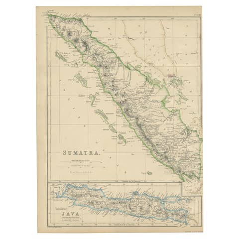
Antique Map of Sumatra by W. G. Blackie, 1859
1859 · € 200
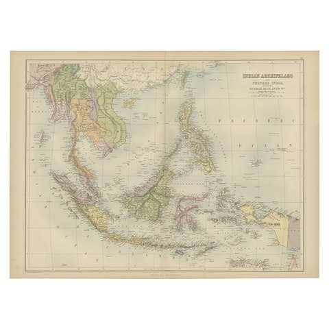
Antique Map of the East Indies by A & C. Black, 1870
1870 · € 275
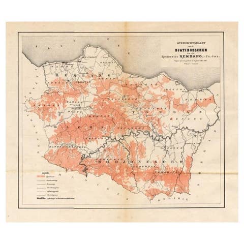
Antique Map of the Djati 'teak wood' Forest Near Rembang, Java by Stemler, 1875
1875 · € 270
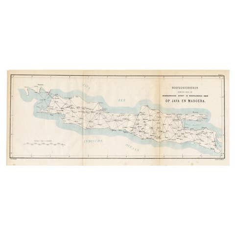
Old Map of Java, Indonesia by Stemler, 1875
1875 · € 70
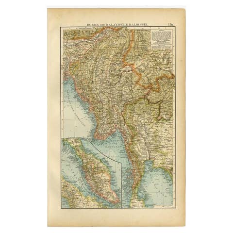
Antique Map of Burma and the Malayan Peninsula by Andree, 1904
1904 · € 110

Antique Map of Ambon Island in the Moluccas, Indonesia, c.1760
1760 · € 240
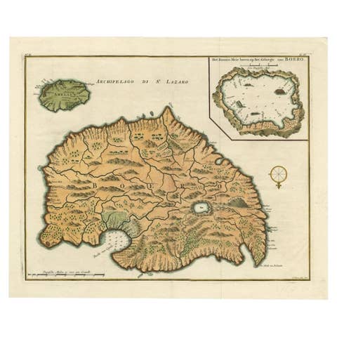
Antique Map of Ambelau and Buru Island, Maluku or Moluccas in Indonesia, 1726
1726 · € 370
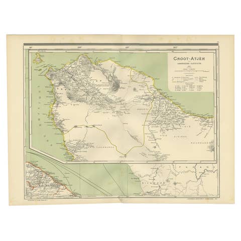
Antique Map of Aceh in Sumatra, Indonesia, 1900
1900 · € 290
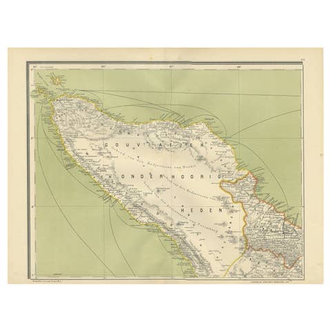
Antique Map of Aceh or Adjeh in Northern Sumatra, Indonesia, 1900
1900 · € 290
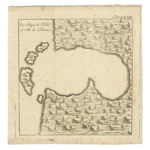
Antique Map of a Bay of Borneo, Indonesia, c.1760
1760 · € 140
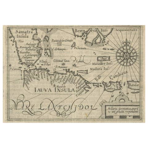
Rare Small Map of Sumatra, Java, Borneo, Macassar, Madura, Bali, 1614
1614 · € 750
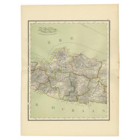
Antique Map of Central Java Depicting The Karimun Islands, Indonesia, 1900
1900 · € 260
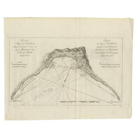
Antique Map of a Bay Nearby Makassar, Celebes 'Sulawesi)' by Hawkesworth, 1774
1774 · € 115
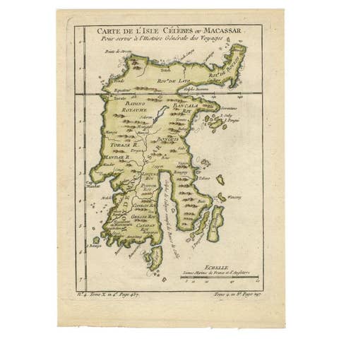
Antique Map of Celebes 'Sulawesi', Island in Indonesia, 1754
1754 · € 145
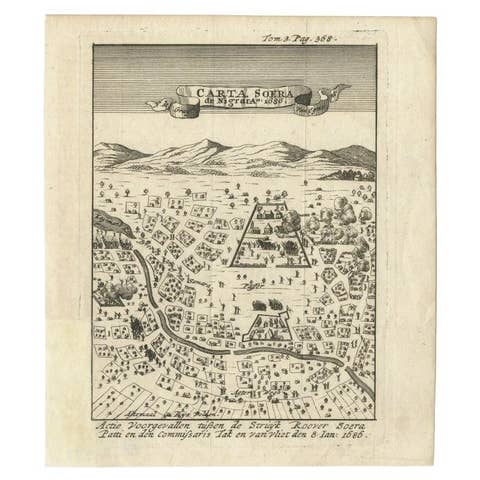
Antique Map of Carta Soura, Headquarter of the Javanese Nobility, 1706
1706 · € 250
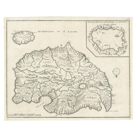
Antique Map of Buru Island, Indonesia, c.1725
1725 · € 550
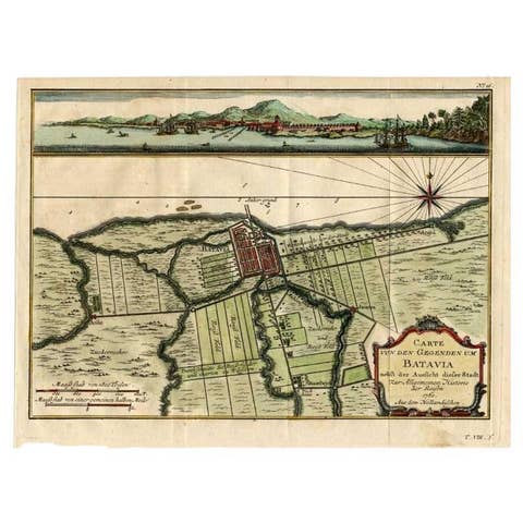
Antique Map of Batavia, Capital of The Dutch East Indies at the Time, 1751
1751 · € 450
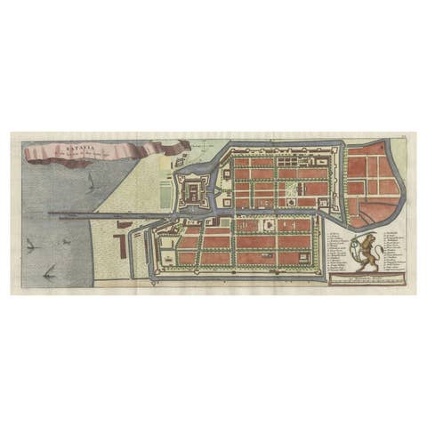
Antique Map of Batavia, Nowadays Jakarta, the Capital of Indonesia, 1782
1782 · € 950

Antique Map of Banten Bay on Java Island, Indonesia, c.1720
1720 · € 274
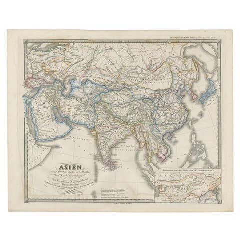
Old Map of Asia Depicting Asia in the 6th through the 9th Centuries, ca. 1855
1855 · € 250
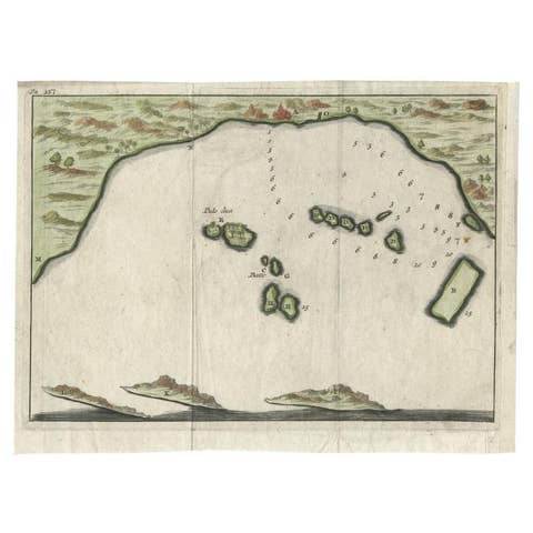
Antique Map of Banten Bay, Java, Indonesia, c.1725
1725 · € 150
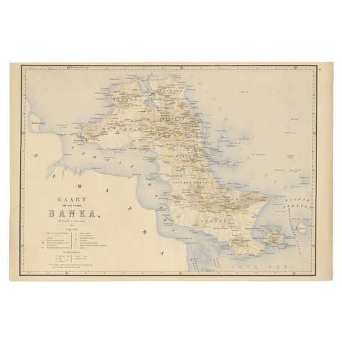
Antique Map of Bangka Island, Indonesia, 1885
1885 · € 272
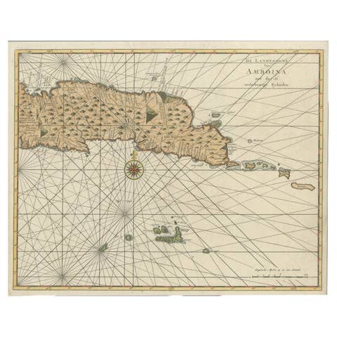
Antique Map of Eastern Seram, Part of the Maluku Island in East Indonesia, 1726
1726 · € 450
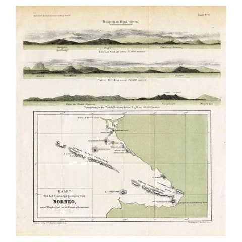
Antique Map of Eastern Borneo, Indonesia with Views of Mountain Ranges, c.1875
1875 · € 180
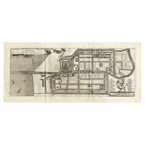
Antique Map of Batavia 'Jakarta, Indonesia', the Dutch East-Indies, 1782
1782 · € 640
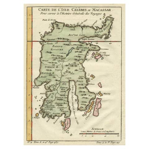
Antique Map of Celebes 'Sulawesi', Island in Indonesia, c.1750
1750 · € 180
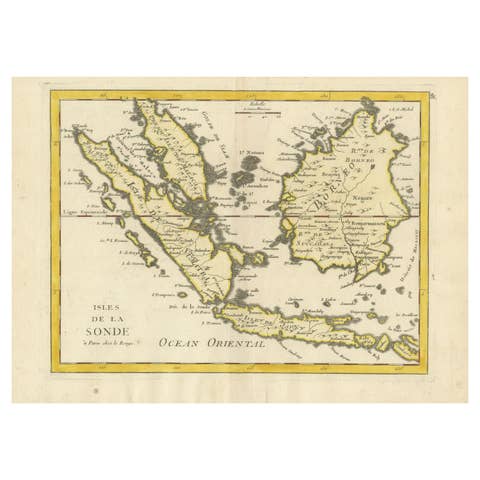
Old Original Antique Map of the Sunda Islands of Indonesia, 1756
1756 · € 550
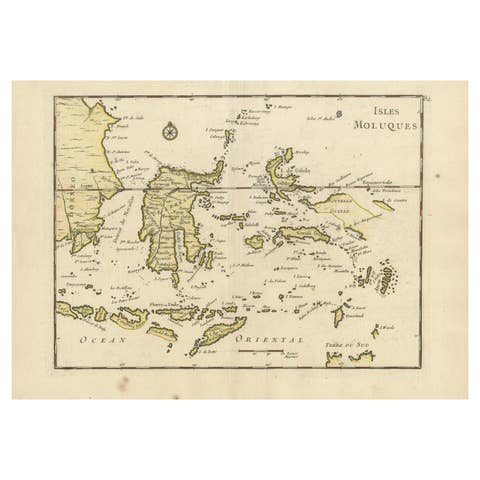
Old Original Antique Map of the Islands of East Indonesia, 1756
1756 · € 450
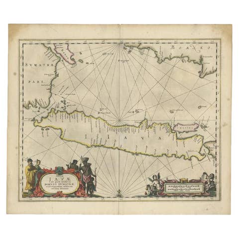
Antique Map of Java and Part of Borneo, Indonesia, c.1657
1657 · € 2 750
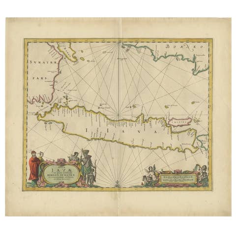
Antique Map of the Island Java, Indonesia, c.1650
1650 · € 3 250
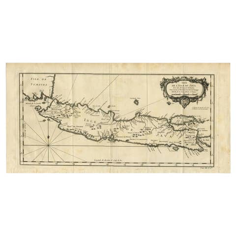
Antique Map of Java and Madura Island, Indonesia, c.1760
1760 · € 450
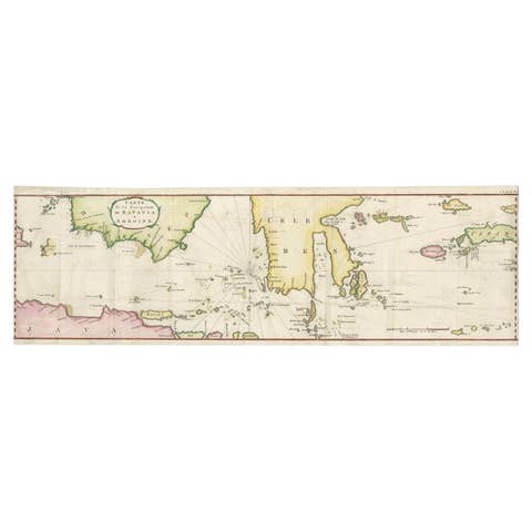
Rare Authentic Engraved Map of Large Part of Indonesia by Stavorinus, 1779
1779 · € 739
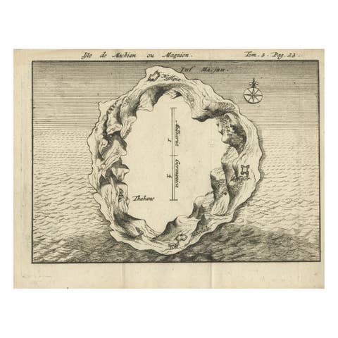
Antique Map of Macjan or Makian Island in the Moluccas, Indonesia, c.1740
1740 · € 230

Antique Map of New Ireland Island in the Bismarck Archipelago, New Guinea, 1772
1772 · € 220
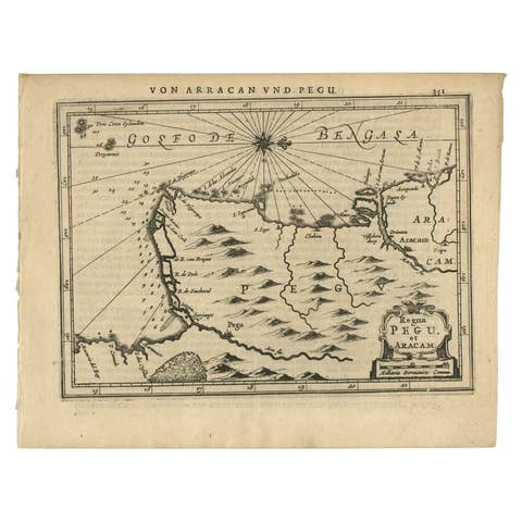
Antique Map of Myanmar titled 'Regna Pegu et Aracam by Mapmaker Janssonius, 1651
1651 · € 450
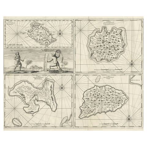
Antique Maps of Manipa, Nusa-Laut, Saparua and Haruku in Maluku, Indonesia 1726
1726 · € 350
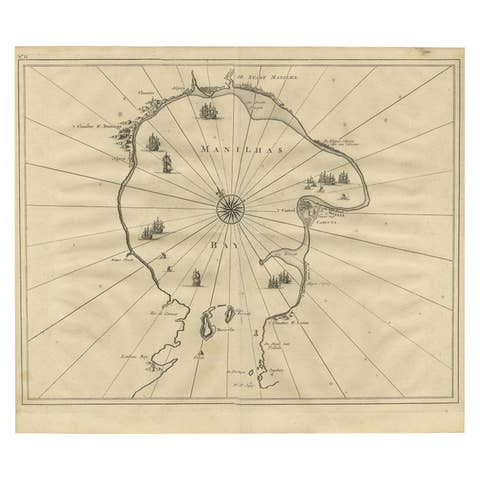
Antique Engraved Map of Manila, the Earliest Obtainable Map of Manila Bay, 1726
1726 · € 1 545

Scarce Antique Map of Lake Toba and Silindoeng on Sumatra, Indonesia, c.1875
1875 · € 166
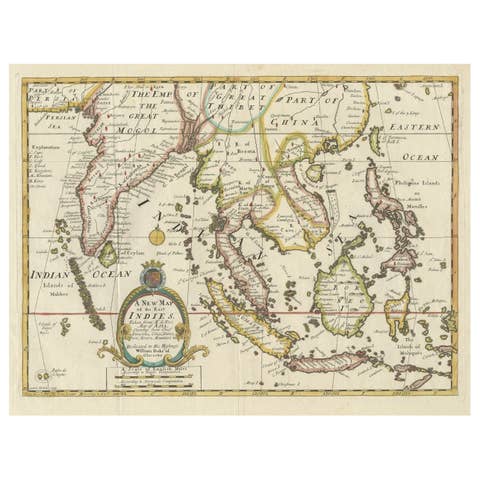
Old Map Covering All of Southeast Asia from Persia to the Timor Island, 1712
1712 · € 1 500
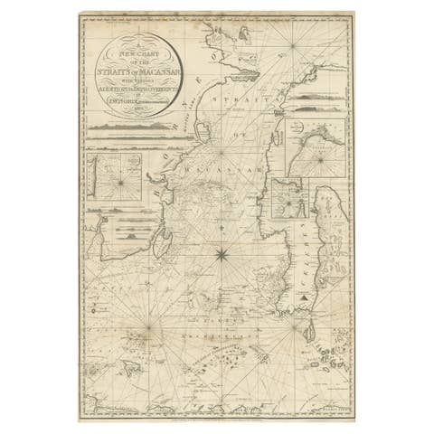
Antique Map of Straits of Makassar by J.W. Norie, Engraved Chart, 1820
1820 · € 2 750
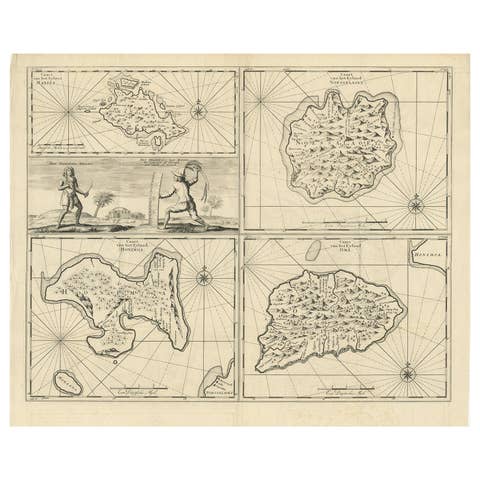
Antique Map of Manipa and Other Maluku Islands, Indonesia, 1726
1726 · € 450
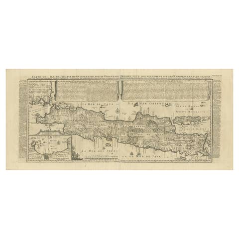
Antique Map of Java by Henri Chatelain, Decorative Print, 1718, France
1718 · € 2 650
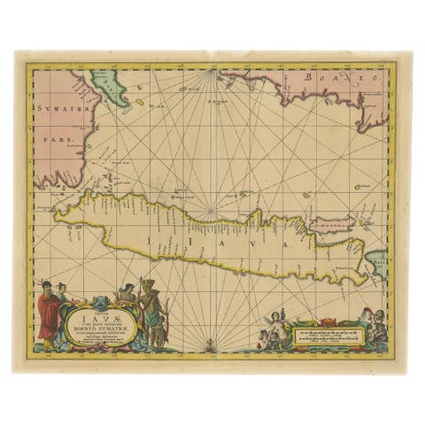
Antique Map of Java in The Dutch East Indies, Now Indonesia, c.1690
1690 · € 2 750
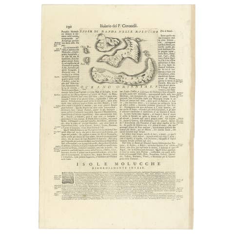
Antique Map of the Banda Islands or Spice Islands, Moluccas, Indonesia, 1697
1697 · € 450