Maps & PrintsBartele Gallery · Langweer
Home / Antique Maps / Europe / Northern Europe

Northern Europe · 18th century

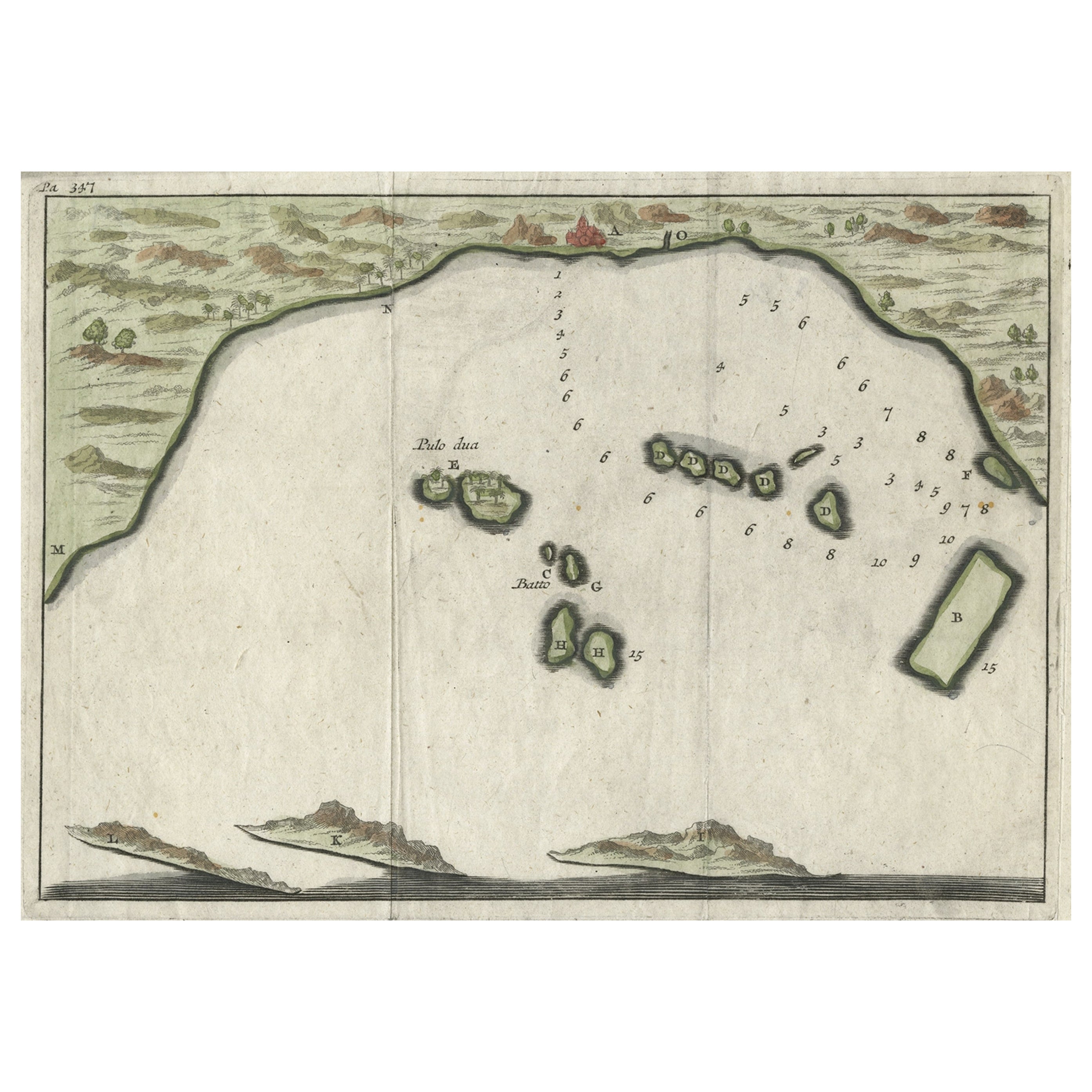
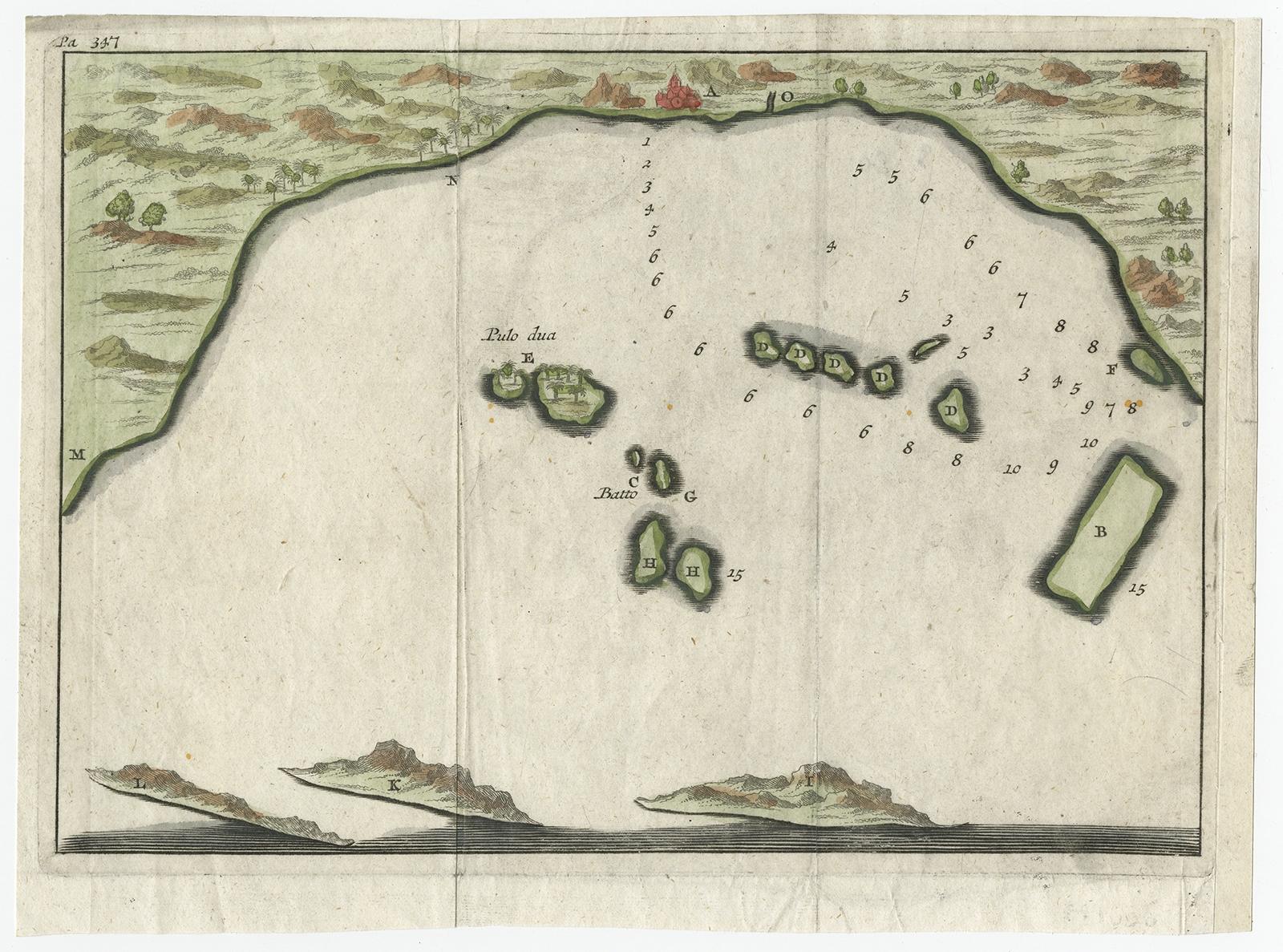
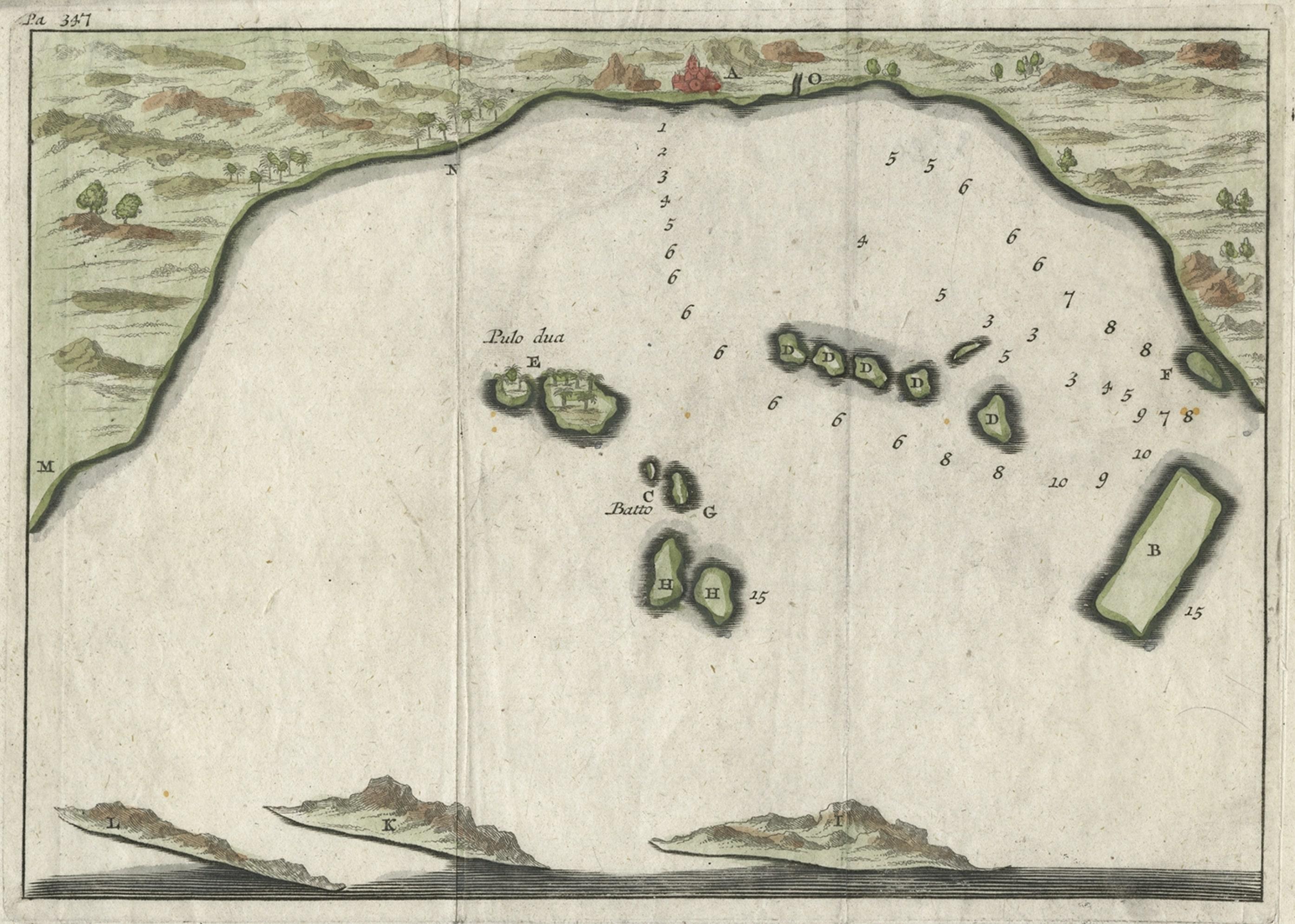
Small Early 18th Century Map of Banten Bay on the Island Java, Indonesia, c.1725

€ 220

Original antique · The actual sheet photographed · Certificate of authenticity on request · Sold unframed · Worldwide shipping from € 15 (rates)

Date
1725
Sheet size
16 × 21.8 cm (6.3 × 8.6 in)
Condition
Good
Reference
BL-00069

Condition

GoodWear consistent with age and use.
About this sheet

A small early 18th century map of Banten Bay showing the islands of Pulo Dua and Pulo Batto together with soundings within the Bay and profiles of hills on the islands published by Constantin de Renneville (c. 1650-1723) in his Recueil des voyages qui ont servi a l’establissment et aux progre de la Compagnie des Indes Orientales in Amsterdam in 1703. De Renneville’s publication was a translation and adaption of Isaak Commelin’s Begin ende voortgangh van de vereenighde Nederlandtsche Geoctroyeende Oost-Indische Compagnie thought to have been first published in Amsterdam around 1645.

Artists and Engravers: Author: Constantin de Renneville (ca. 1650-1723).

Condition: Good, given age. Original folds as issued. General age-related toning and/or occasional minor defects from handling. Please study scan carefully.

More from Northern Europe

Ask about this sheet

Small Early 18th Century Map of Banten Bay on the Island Java, Indonesia, c.1725
1725 · Ref. BL-00069 · € 220
We reply by email, usually within one working day.