About this sheet
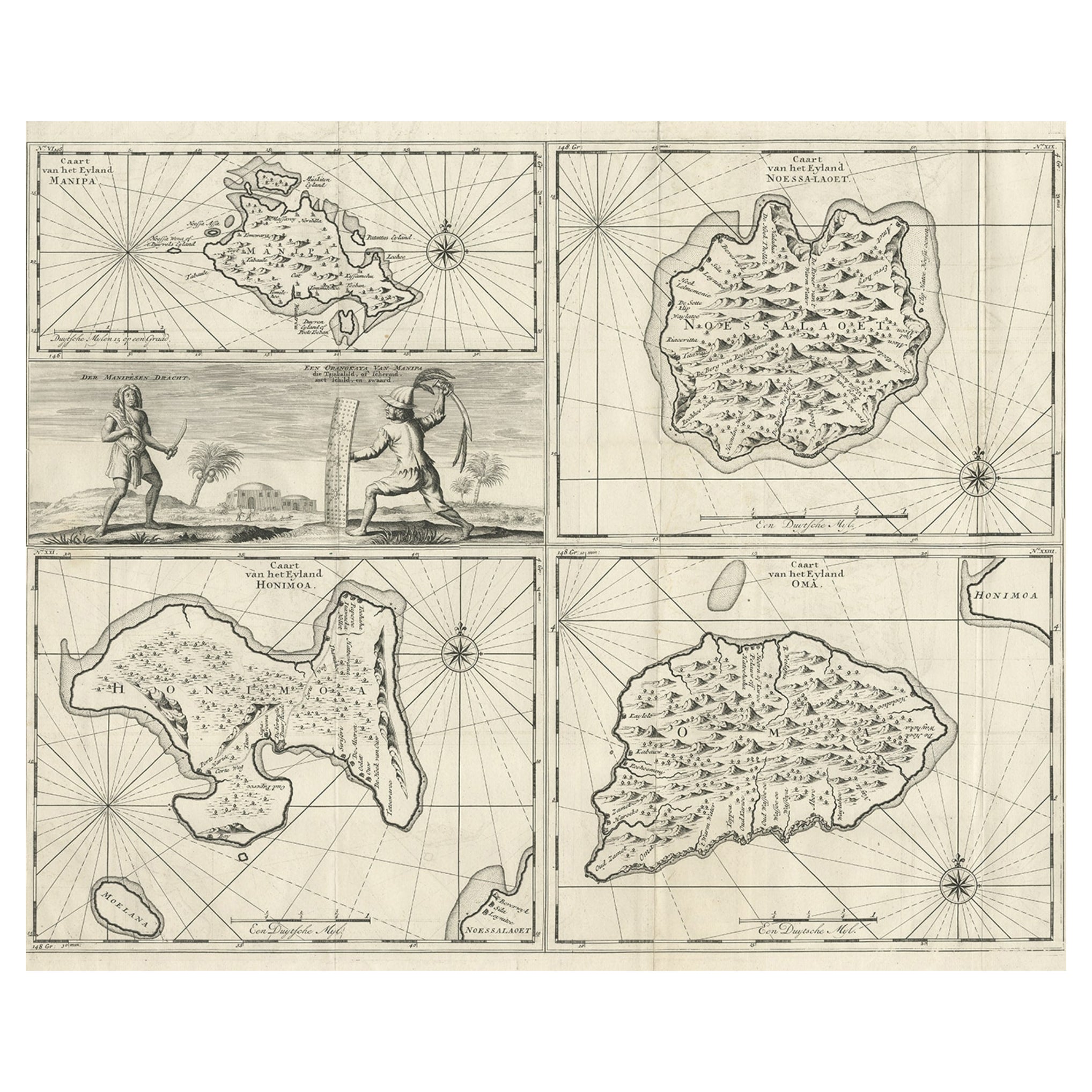
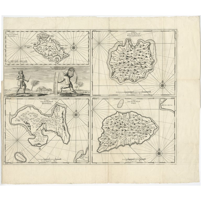
Antique map titled 'Caart van het Eyland Manipa, Noessa-Laoet, Honimoa, Oma. Der Manipesen dracht, een Orangkaya van Manipa.' Four maps of islands and two figures in native dress. The islands are: Manipa, Nusa-Laut (Noessa-Laoet), Saparua (Honimoa) and Haruku (Oma). These islands are all part of the Maluku Province of Indonesia, in the Pacific Ocean. Originates from "Oud en Nieuw Oost-Indiën" by François Valentyn / Valentijn, published in 1724-1726. Artists and Engravers: The author François Valentijn / Valentyn (1666-1727), was a Dutch missionary, worked at Amboina from 1684 to 1694 and 1705 to 1713 and traveled extensively in VOC lands.
Artist: The author François Valentijn / Valentyn (1666-1727), was a Dutch missionary, worked at Amboina from 1684 to 1694 and 1705 to 1713 and traveled extensively in VOC lands.
Condition: Very good, originally published as two sheets, joined. Some small splits on folding lines, left margin cut short but into the image. please study image carefully.
Date: 1726
Overall size: 65 x 55 cm.
Image size: 57 x 44 cm.