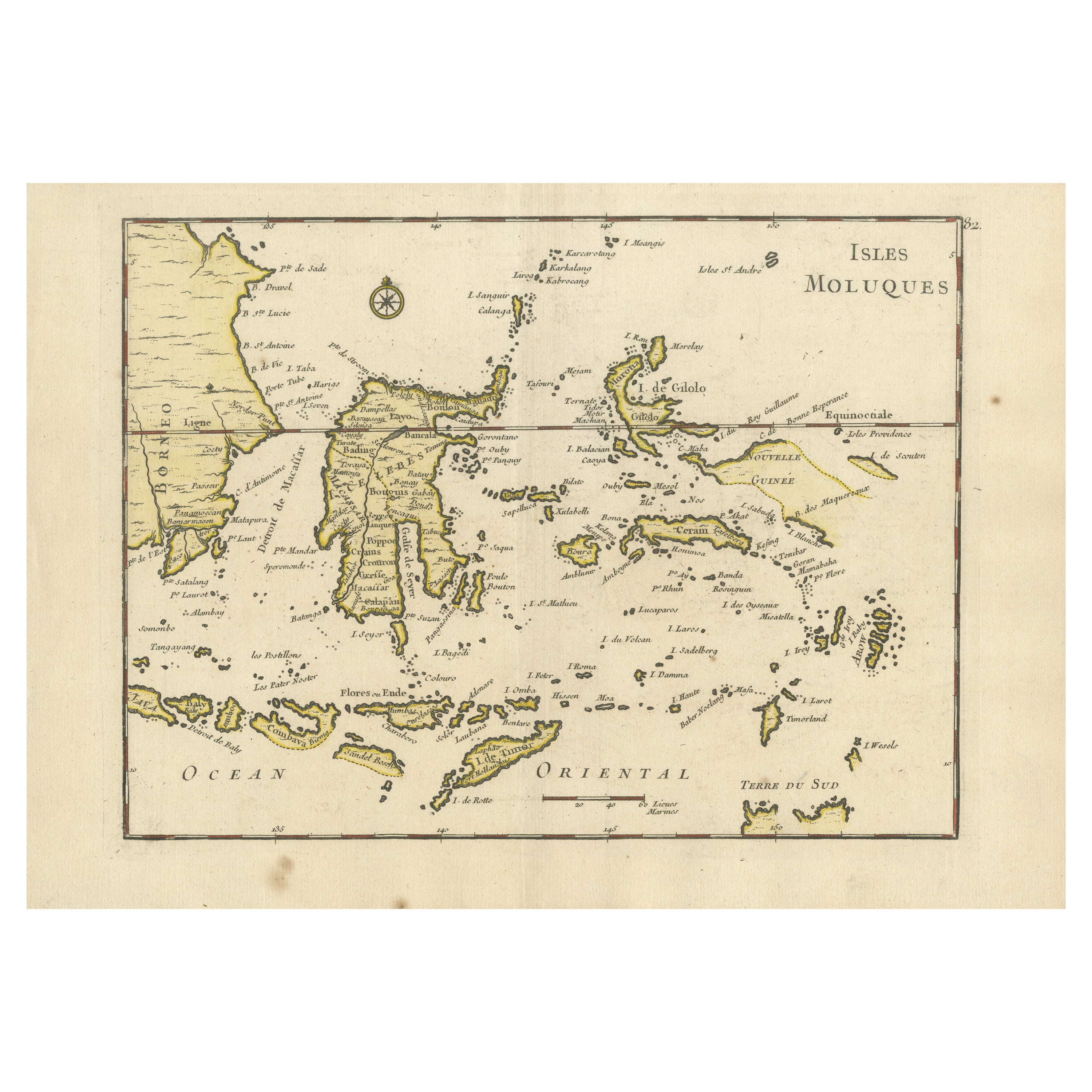
Old Original Antique Map of the Islands of East Indonesia, 1756
€ 450
One of a kind: this is the sheet in the photographs. Ships from Langweer, the Netherlands.
Date
1756
Sheet size
24.5 × 35 cm (9.6 × 13.8 in)
Condition
Excellent
Reference
BG-13122-2
Condition
fine engraving, fold as published, light marginal soiling.
About this sheet
Old and rare, this decorative map of the Maluku Islands in the period it was still controlled by the Dutch colonial power. It also shows the island of Bali, Lombok, part of Borneo (Kalimantan), Celebes (Sulawesi), Timor, The Lesser Sunda Islands, West Papua and the Northern tip of Australia (Terre du Sud)
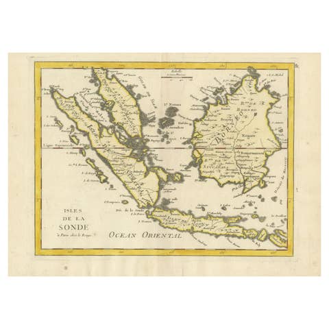
Origin: Atlas Nouveau Portatif à l'usage des militaires et du voyageur. Cartographer: Le Rouge.
Condition: Excellent fine engraving, fold as published, light marginal soiling.