Original antique · The actual sheet photographed · Certificate of authenticity on request · Sold unframed · Worldwide shipping from € 15 (rates)
Date
1725
Sheet size
32 × 40 cm (12.6 × 15.7 in)
Reference
PCT-46353
Condition
Very good, given age. Left and right margin edges reinforced on rear. Small tear in left side of the print. General age-related toning and/or occasional minor defects from handling. Please review the images for further condition details.
About this sheet
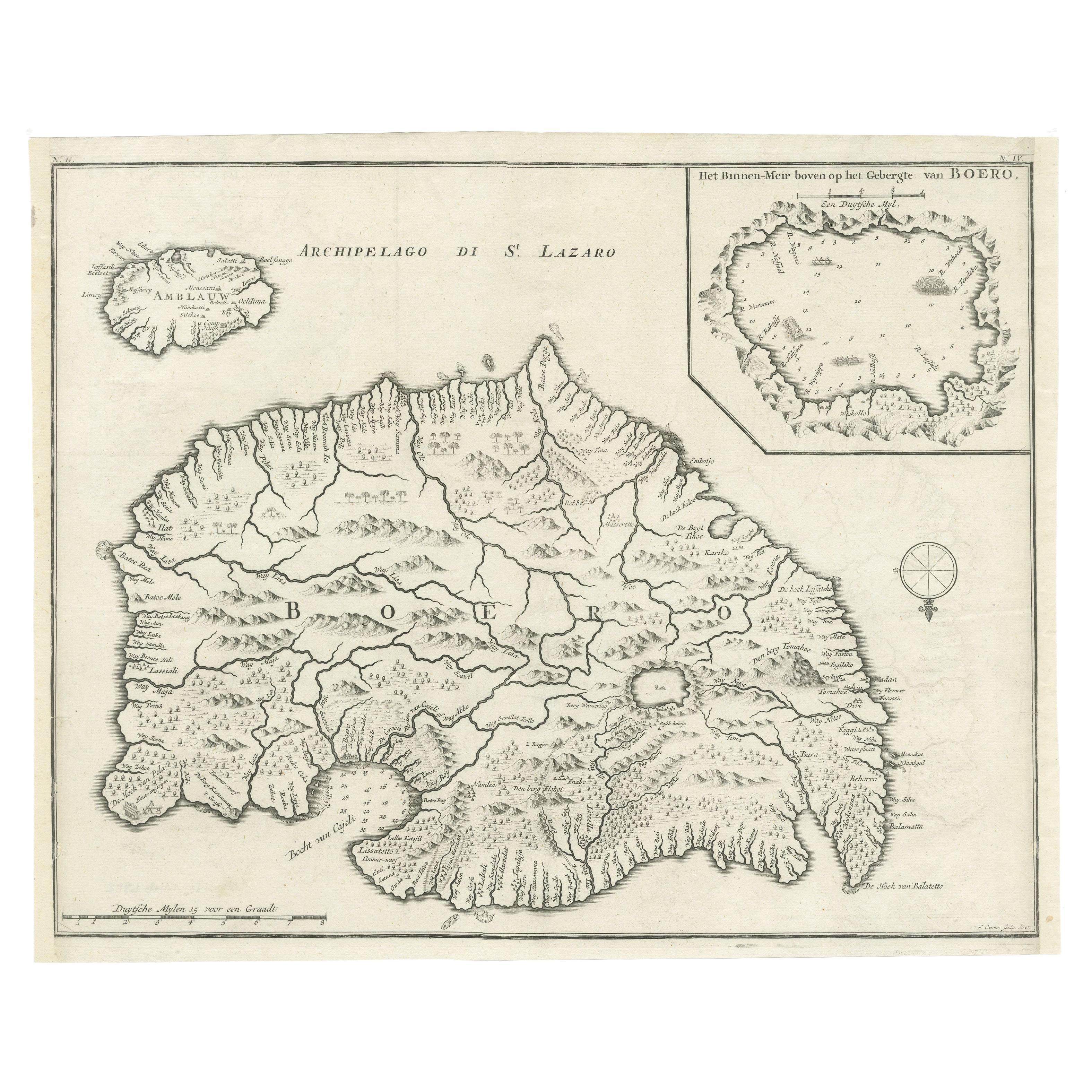
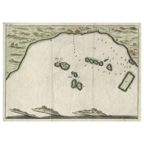
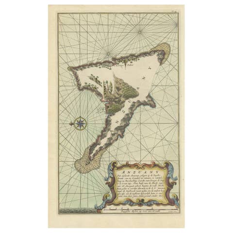
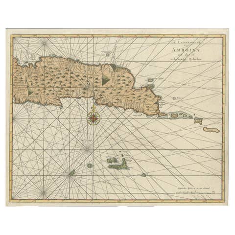
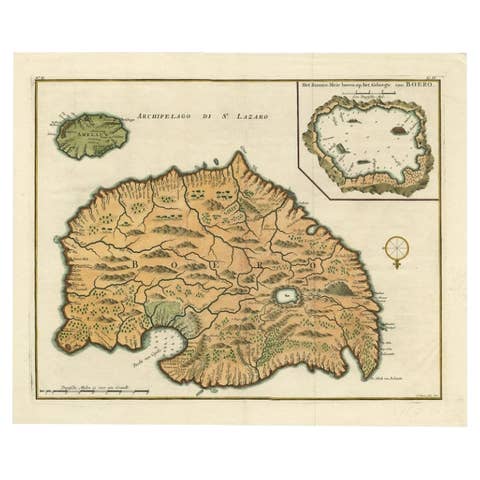
Antique map titled 'Boero'. Original antique map of Buru island. With an inset of the lake on top of the inland mountain. This map originates from Valentyn's 'Oud en Nieuw Oost Indien', ca. 1725.
Buru (formerly spelled Boeroe, Boro, or Bouru) is the third largest island within Maluku Islands of Indonesia. It lies between the Banda Sea to the south and Seram Sea to the north, west of Ambon and Seram islands. During former president Suharto's New Order administration in the 1960s–1970s, Buru was the site of a prison used to hold thousands of political prisoners. While held at Buru, writer Pramoedya Ananta Toer wrote most of his novels, including Buru Quartet.
Artists and Engravers: Published by Joannes van Braam and Gerard onder de Linden (Dordrecht and Amsterdam).
We sell original antique maps to collectors, historians, educators and interior decorators all over the world. Our collection includes a wide range of authentic antique maps from the 16th to the 20th centuries. Buying and collecting antique maps is a tradition that goes back hundreds of years. Antique maps have proved a richly rewarding investment over the past decade, thanks to a growing appreciation of their unique historical appeal. Today the decorative qualities of antique maps are widely recognized by interior designers who appreciate their beauty and design flexibility. Depending on the individual map, presentation, and context, a rare or antique map can be modern, traditional, abstract, figurative, serious or whimsical. We offer a wide range of authentic antique maps for any budget.