About this sheet
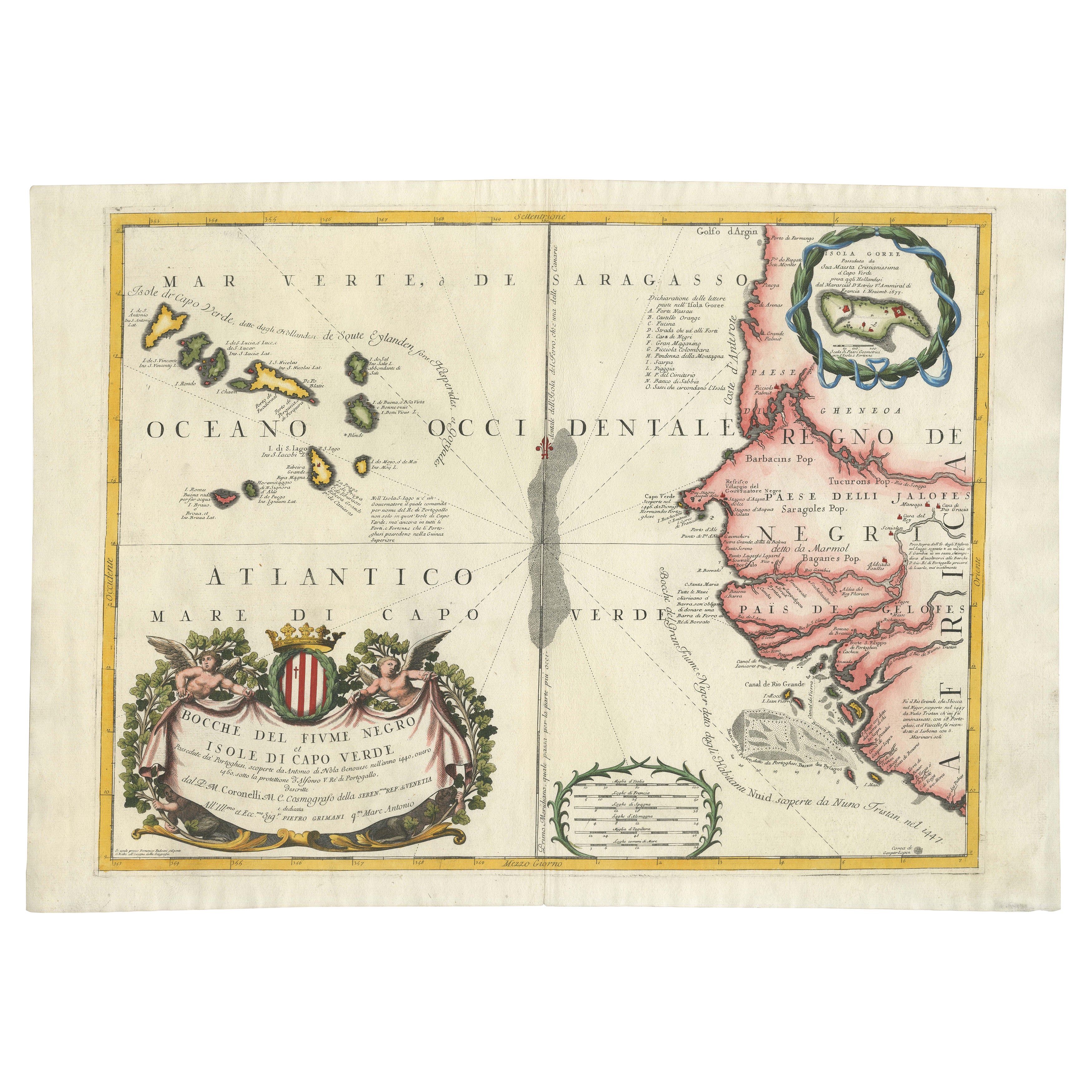
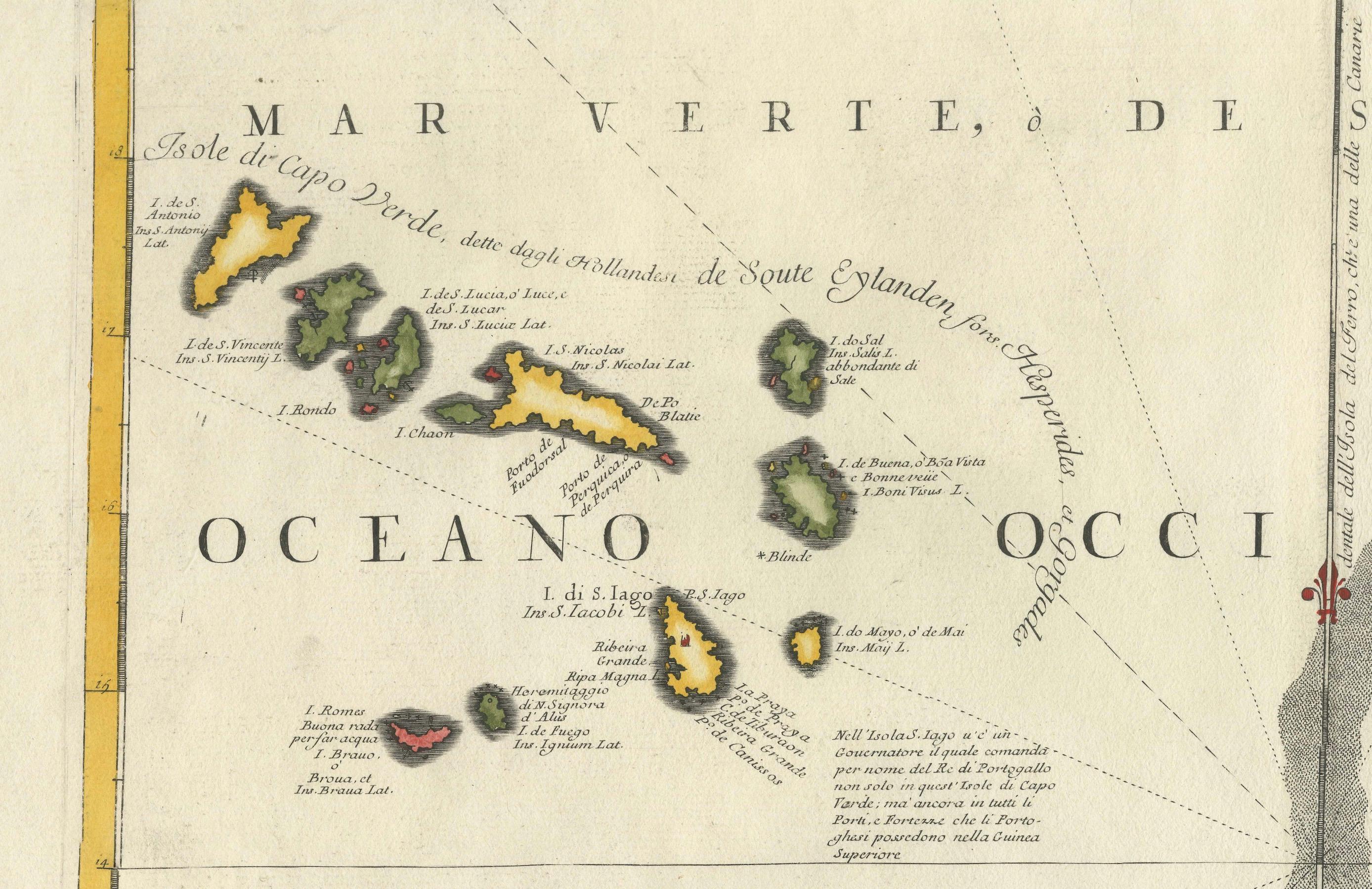
Map of Cape Verde and the Mouth of the River Niger by Coronelli, 1691
This finely engraved map, titled "Bocche del Fiume Negro et Isole di Capo Verde," was created in 1691 by Vincenzo Maria Coronelli, a Venetian cosmographer, cartographer, and Franciscan friar who was among the most influential mapmakers of the late 17th century. Known for his scientific precision and artistic flourish, Coronelli produced this map as part of his celebrated *Atlante Veneto* series, a monumental geographical work that contributed to Europe's understanding of distant regions during the Age of Exploration.
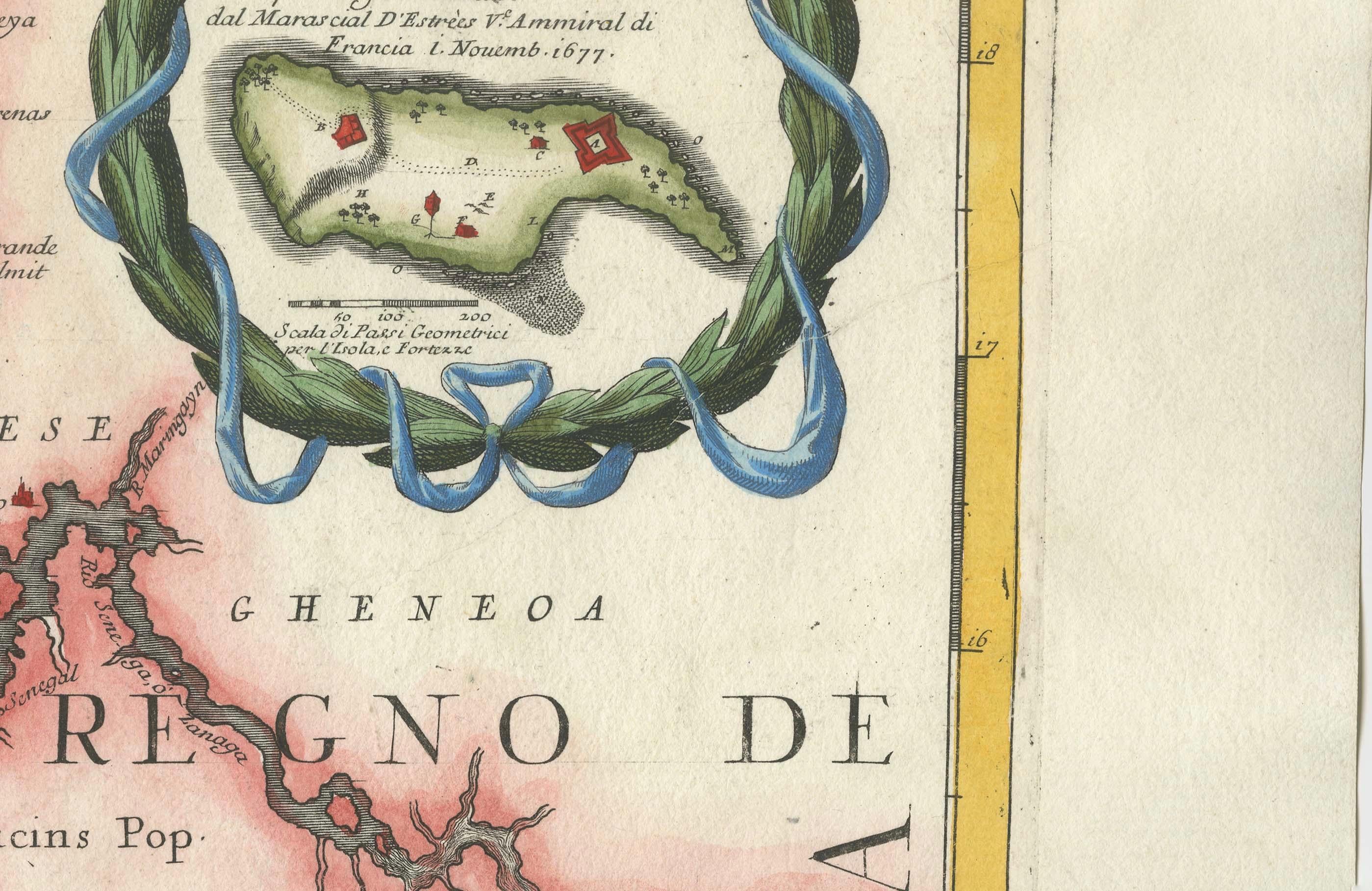
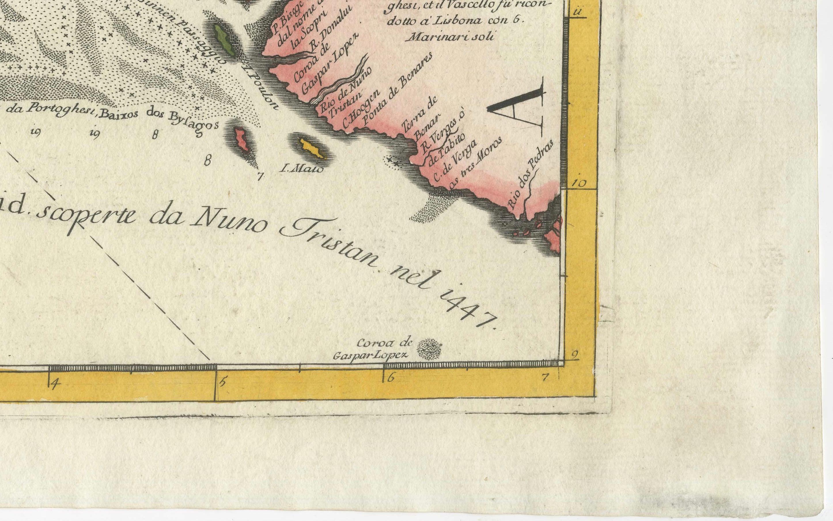
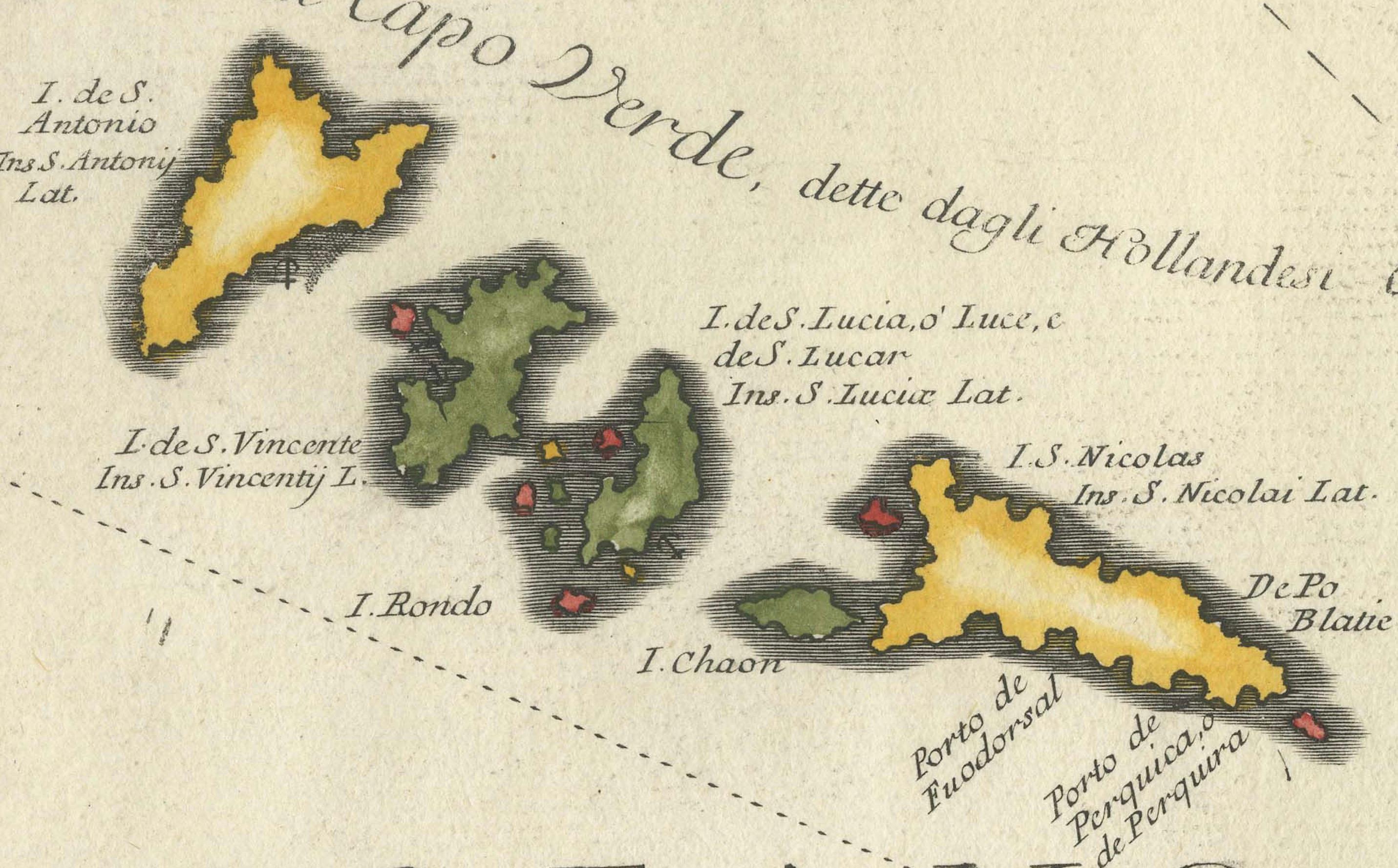
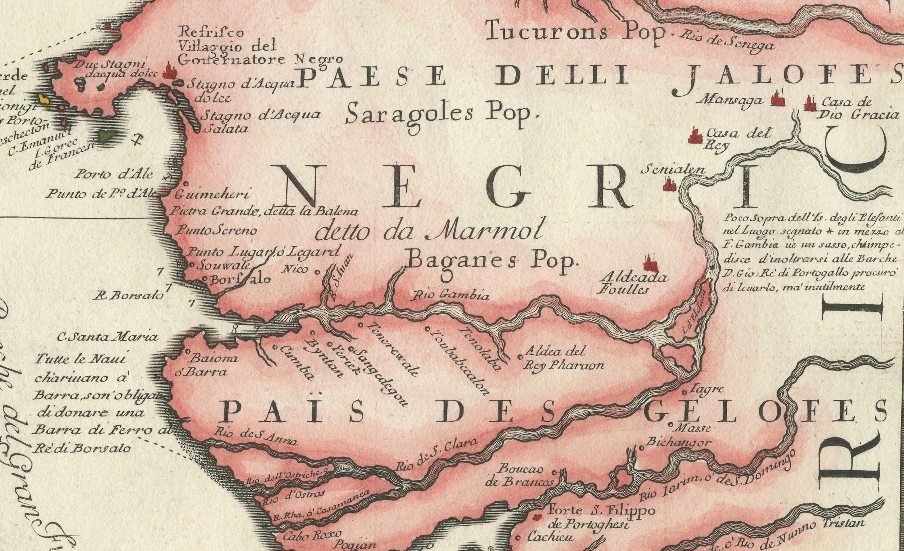
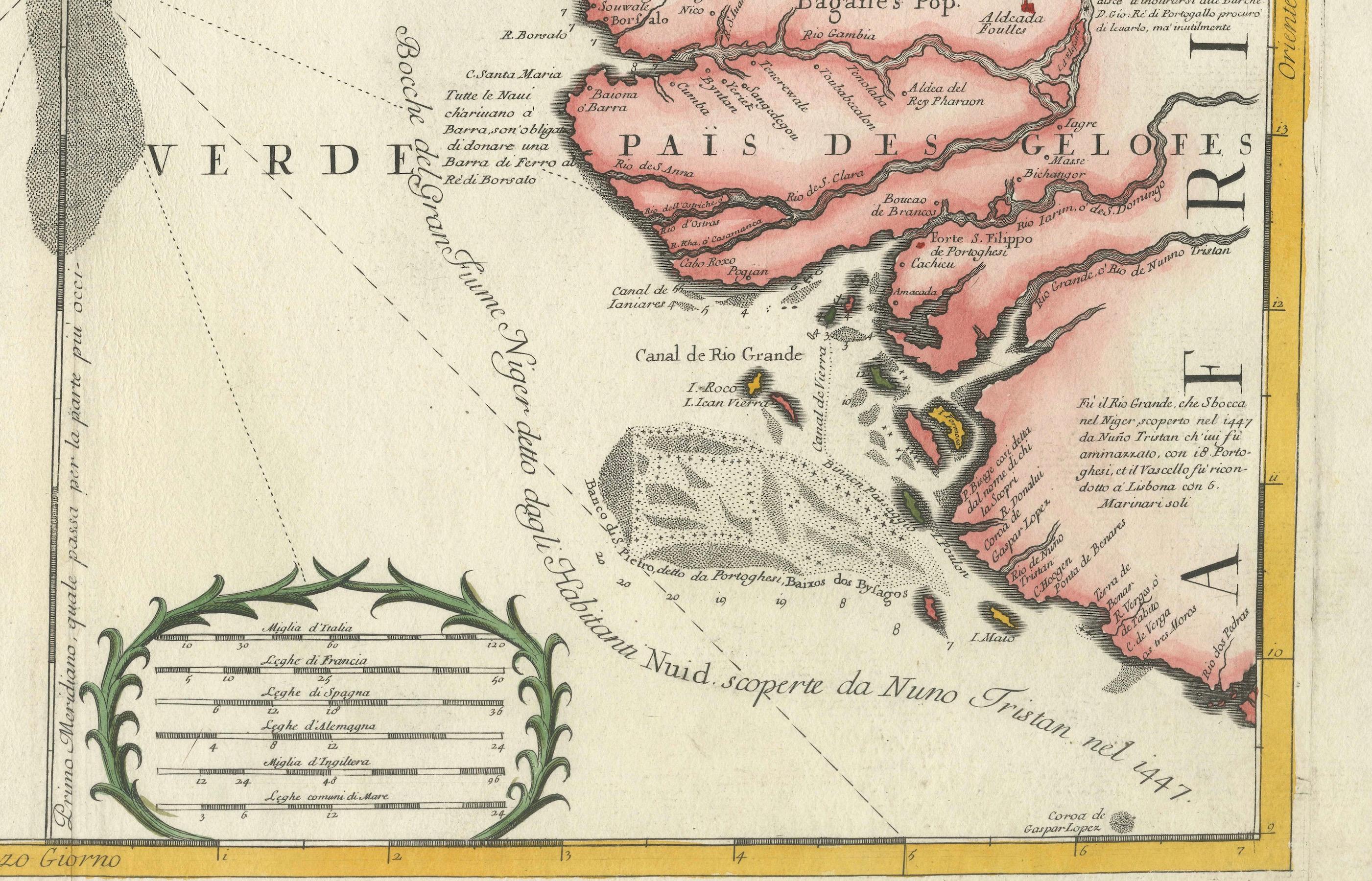
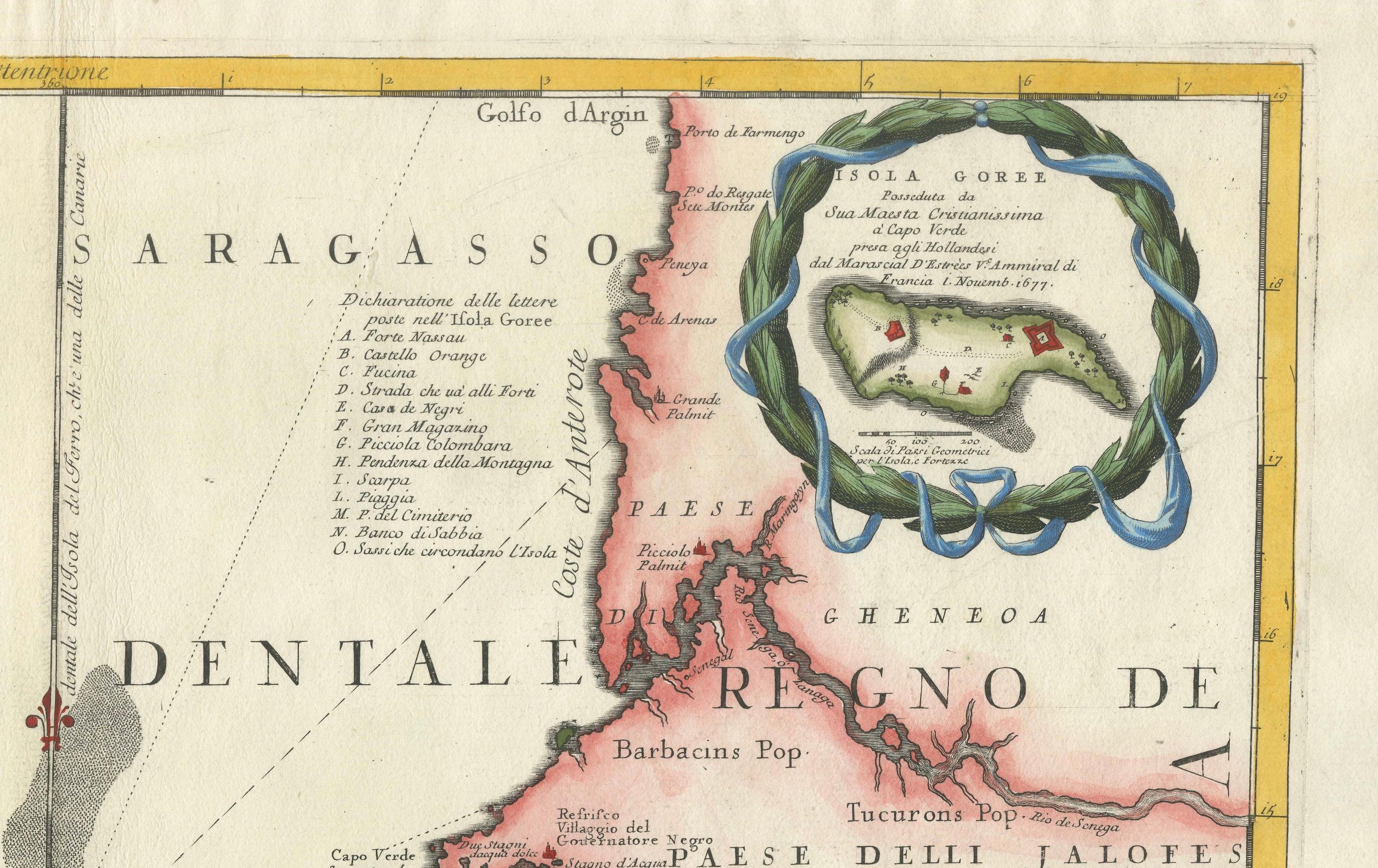
The map focuses on the Atlantic coastal region of West Africa, particularly the Cape Verde Islands and the adjacent coastline near the mouth of the River Niger. Prominently featured are the islands of the Cape Verde archipelago, rendered in vivid hand-coloring, with clear indications of individual islands such as Santiago, Boa Vista, Maio, and São Vicente. The African coast is shown in detailed relief, including regions historically inhabited by the Jaloff (Wolof) people, and settlements such as Capo Verde, Bissau, and the depiction of the Island of Gorée, an important trading post.
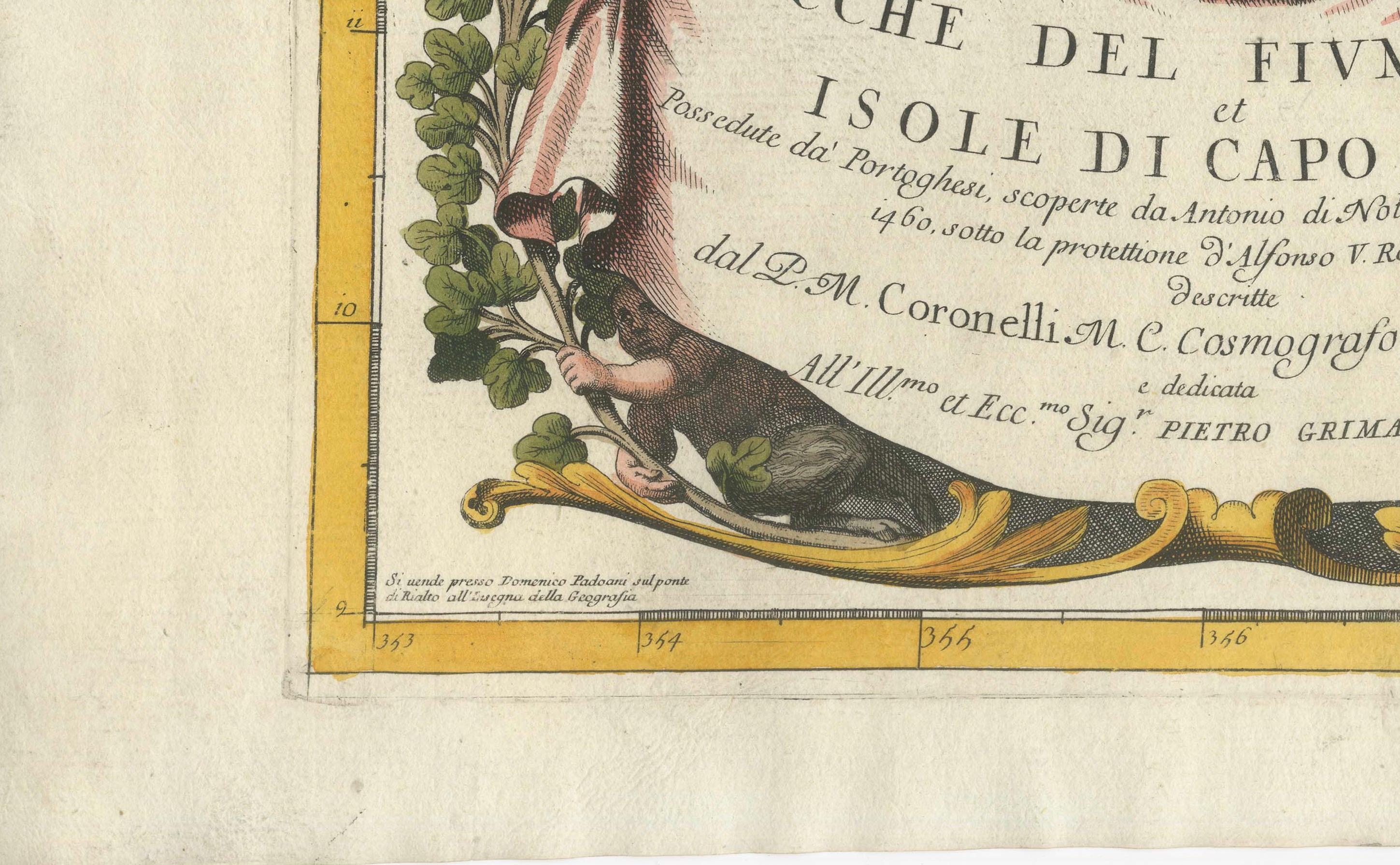
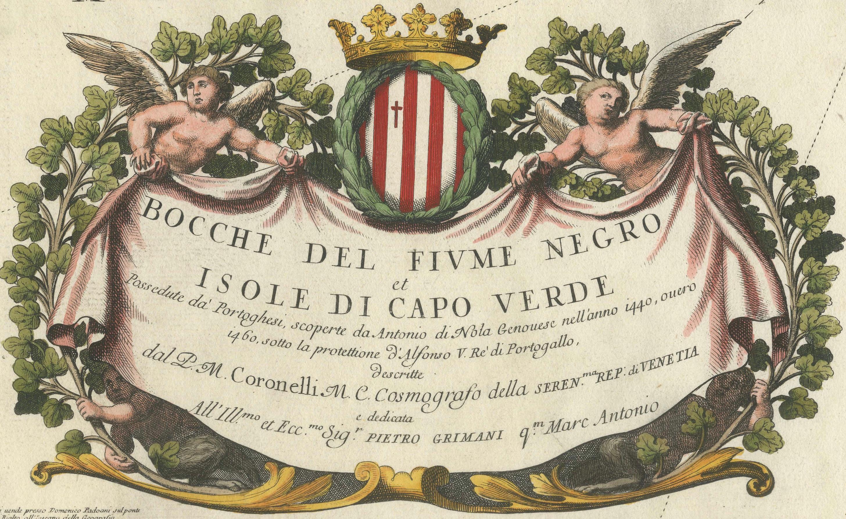
This map reflects the maritime interests of European powers in the Atlantic during the late 1600s and captures the navigational routes and knowledge of the region as it was understood by European cartographers. The cartouche, richly decorated with allegorical figures and a heraldic crest, underscores the baroque aesthetics of Coronelli’s work.
As a scientific and artistic object, the map is a testament to the ambition of early modern geography. Coronelli’s maps were esteemed not only for their accuracy but also for their visual appeal, often combining scholarly detail with elaborate ornamentation.
Condition:
Very good to excellent early impression with original hand-coloring. The strong paper is clean and well-preserved with wide margins and only minor age-related toning to the edges. Center fold as issued.
Framing tips:
Frame this piece in a classic walnut or dark oak frame with a warm cream or off-white mat to complement the aged paper and hand-coloring. Avoid overly modern styles to preserve the historical character of the print. Non-reflective museum glass is recommended.