About this sheet
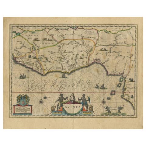
Antique Map Guinea West Africa Blaeu c.1640, Ships, Animals, Cartouche
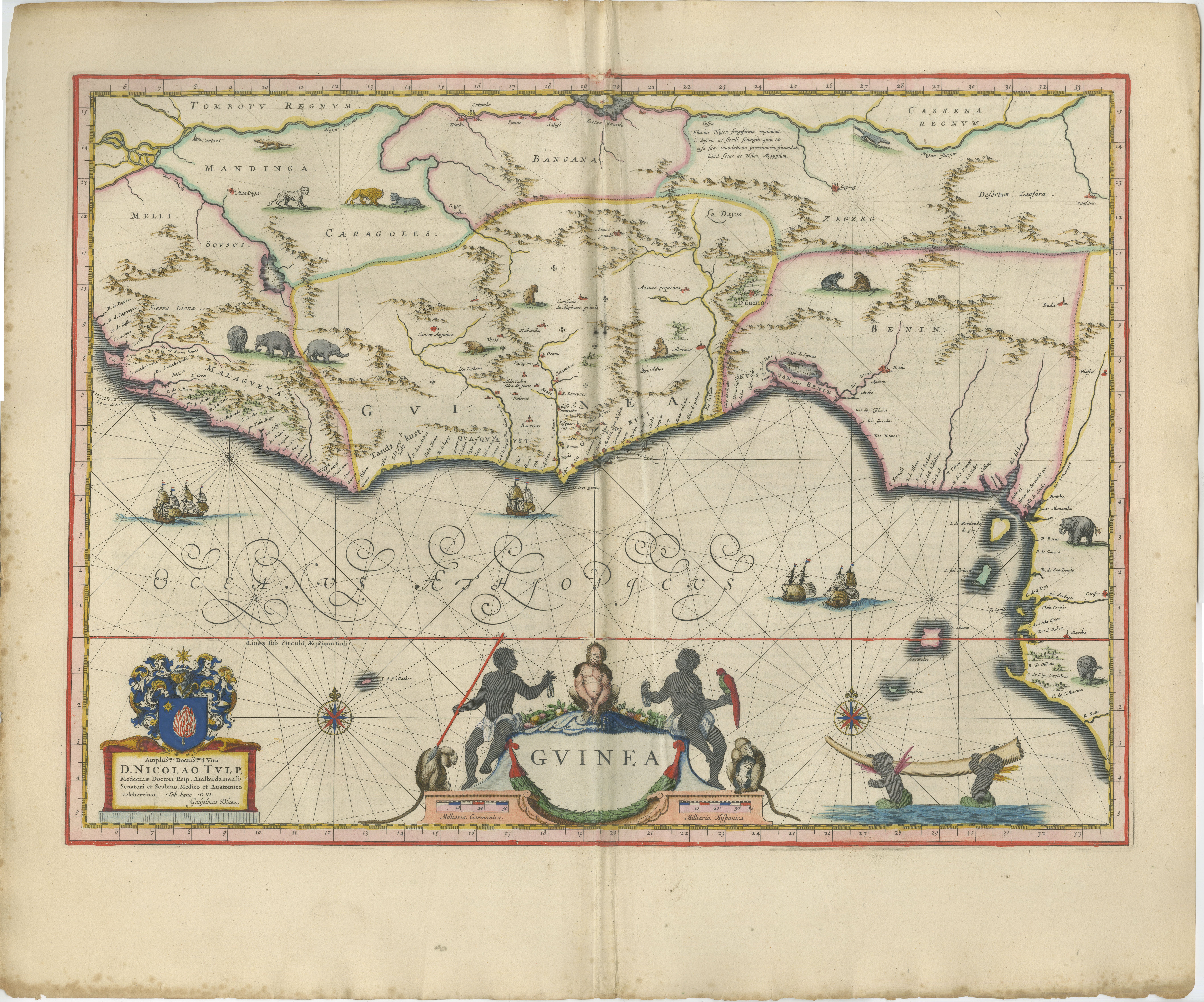
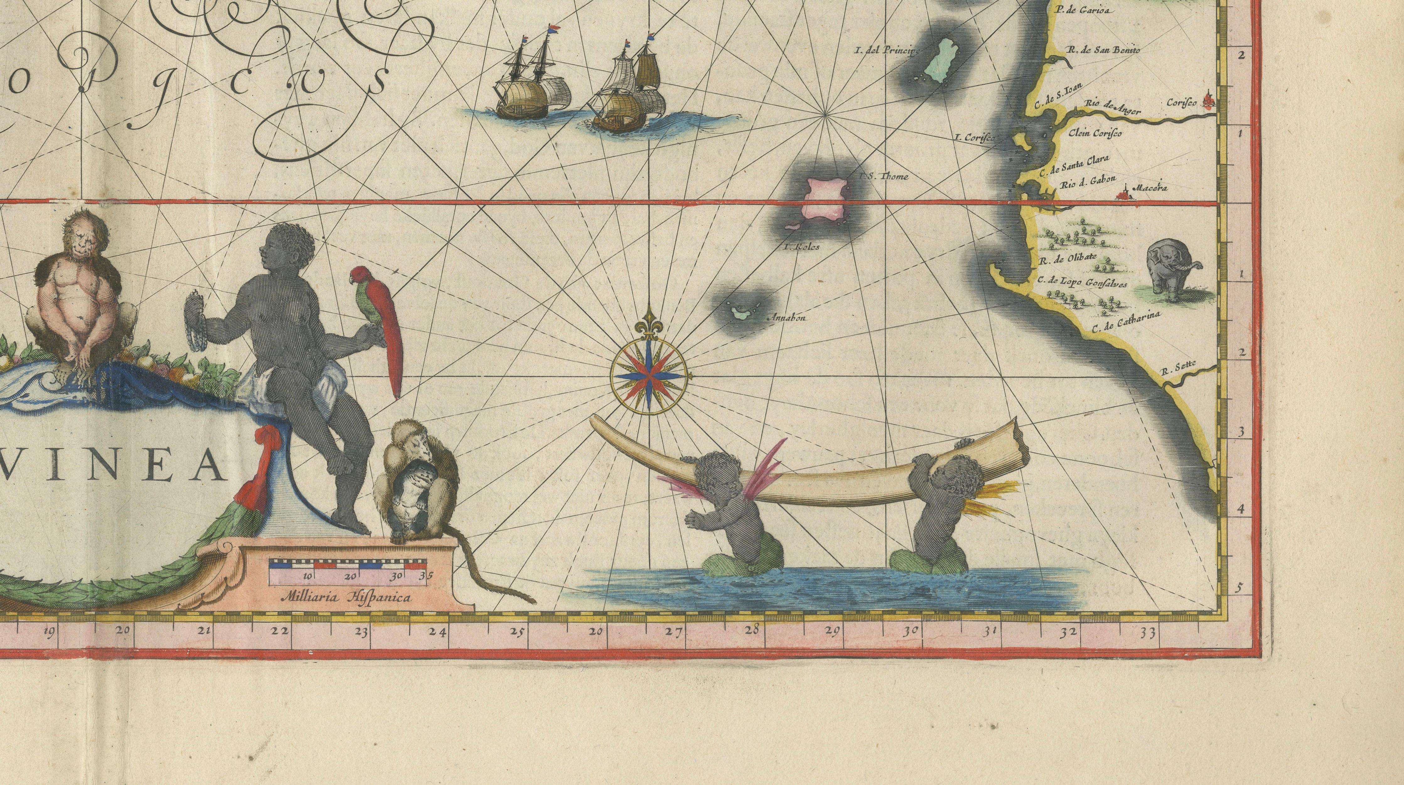
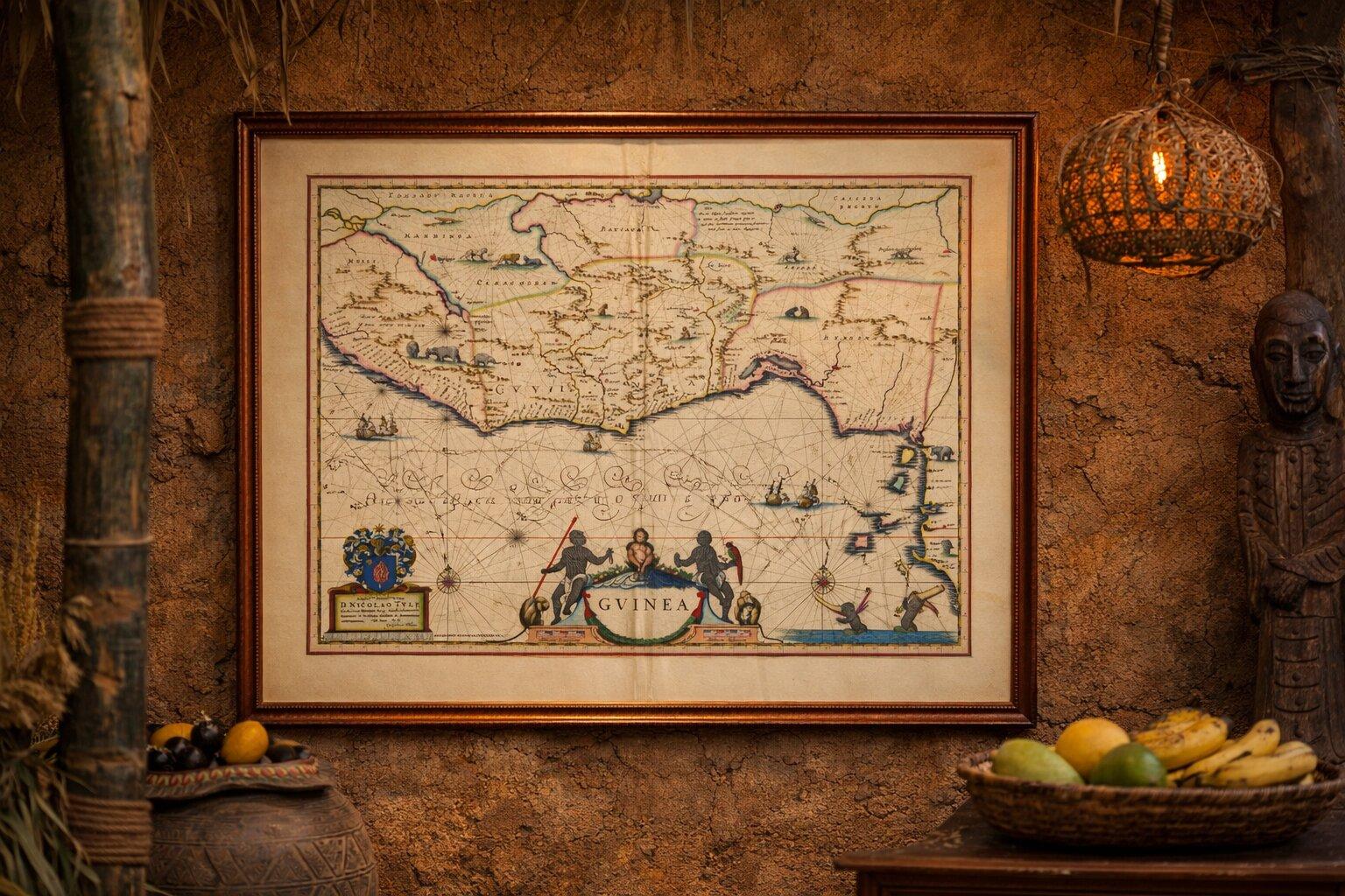
This striking and highly decorative map of the Guinea coast in West Africa was engraved by Willem Blaeu, one of the leading figures of Dutch Golden Age cartography, and published in his celebrated 'Toonneel des Aerdrycx' atlas around 1640. Combining geographic precision with vivid artistic imagination, the map represents one of the most visually engaging depictions of Africa produced in the 17th century.
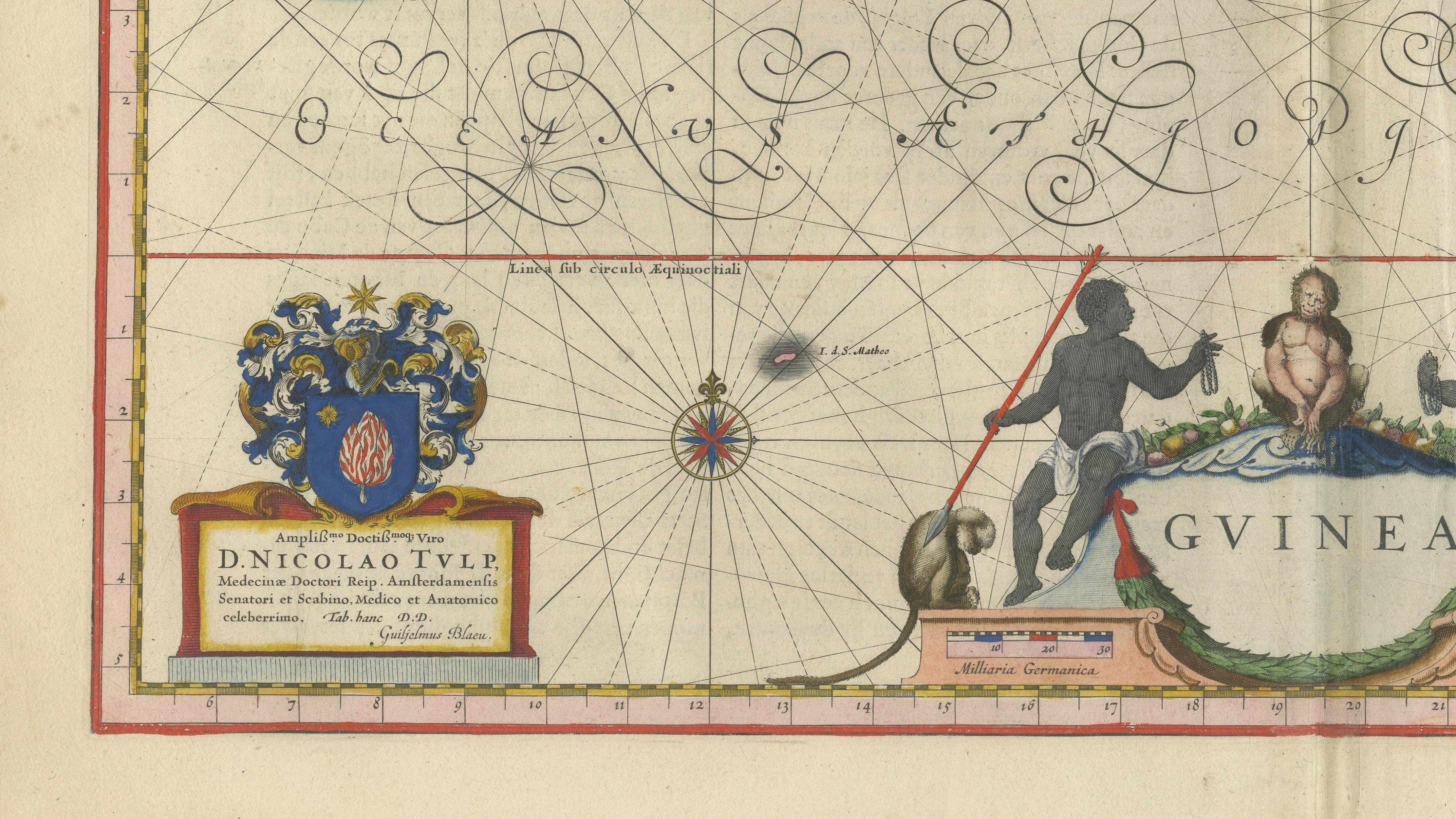
Covering the West African coastline from Sierra Leone through the Gold Coast to Benin, the map presents a detailed coastal outline used for early navigation, enriched with rhumb lines, compass roses, and multiple sailing ships. Inland, Blaeu introduces evocative imagery of the African interior, including elephants, lions, and other animals, reflecting both contemporary knowledge and European perceptions of the region. These elements give the map a strong narrative and decorative appeal beyond its geographic function.
At the lower center, a large and elaborate cartouche frames the title “Guinea,” supported by allegorical figures and surrounded by finely engraved ornamental detail. Additional decorative features include sea creatures, canoes, and richly adorned compass roses, all executed with exceptional clarity and balance. The engraving is enhanced by original hand coloring, which highlights political boundaries and coastal regions while adding warmth and visual depth.
Maps of Guinea from Blaeu’s atlas are particularly sought after for their combination of rarity, decorative richness, and historical significance, representing early European engagement with the West African coast during a period of expanding trade and exploration. This example stands out for its strong impression, balanced composition, and lively imagery.
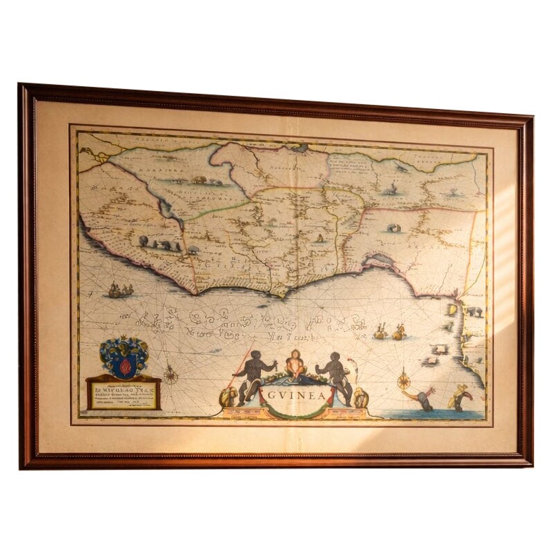
This is an original 17th-century engraving, not a reproduction. All items we offer are authentic period works of art over 100 years old. The map is sold unframed; any framed images are shown for presentation and interior inspiration only.
Condition: Good condition with age-related toning. Original center fold as issued. Some light discoloration and minor wear at the edges, consistent with age. Paper remains strong and stable. A well-preserved and attractive impression.
Framing tips: This map pairs beautifully with a dark walnut or ebonized frame and a wide ivory or museum-white mat. The rich colors and decorative cartouche benefit from a slightly darker wall tone such as warm taupe or deep olive, creating a refined and atmospheric presentation.
Keywords: Guinea map, West Africa map, Gold Coast, Benin, Sierra Leone, Ivory Coast, Ghana, Nigeria, Liberia, Gambia, Senegal, Cape Coast, Elmina, Accra, Lagos, Niger Delta, African trade routes, Blaeu Guinea, Willem Blaeu map, antique Africa map, Dutch Golden Age cartography, 17th century map, hand colored engraving, Toonneel des Aerdrycx, decorative antique map, ethnographic map Africa, animals on map elephant lion, historical Africa cartography, Atlantic Ocean trade, early exploration map
Technique: Copperplate engraving with original hand-coloring
Maker: Willem Blaeu, Amsterdam, c.1640