About this sheet
Antique Map Morocco Fez & Marrakesh, Blaeu Atlas, Hand-Colored c.1640
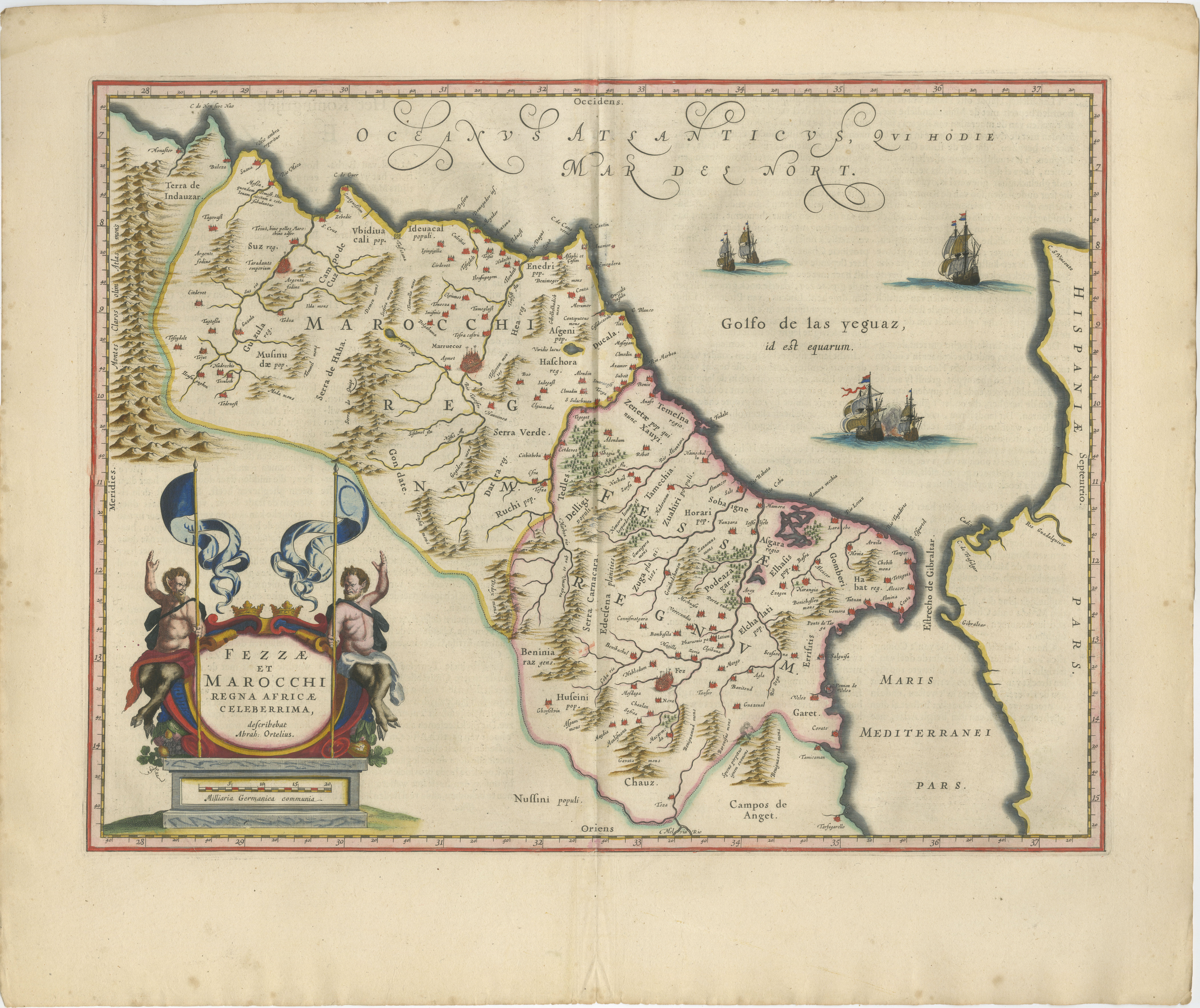
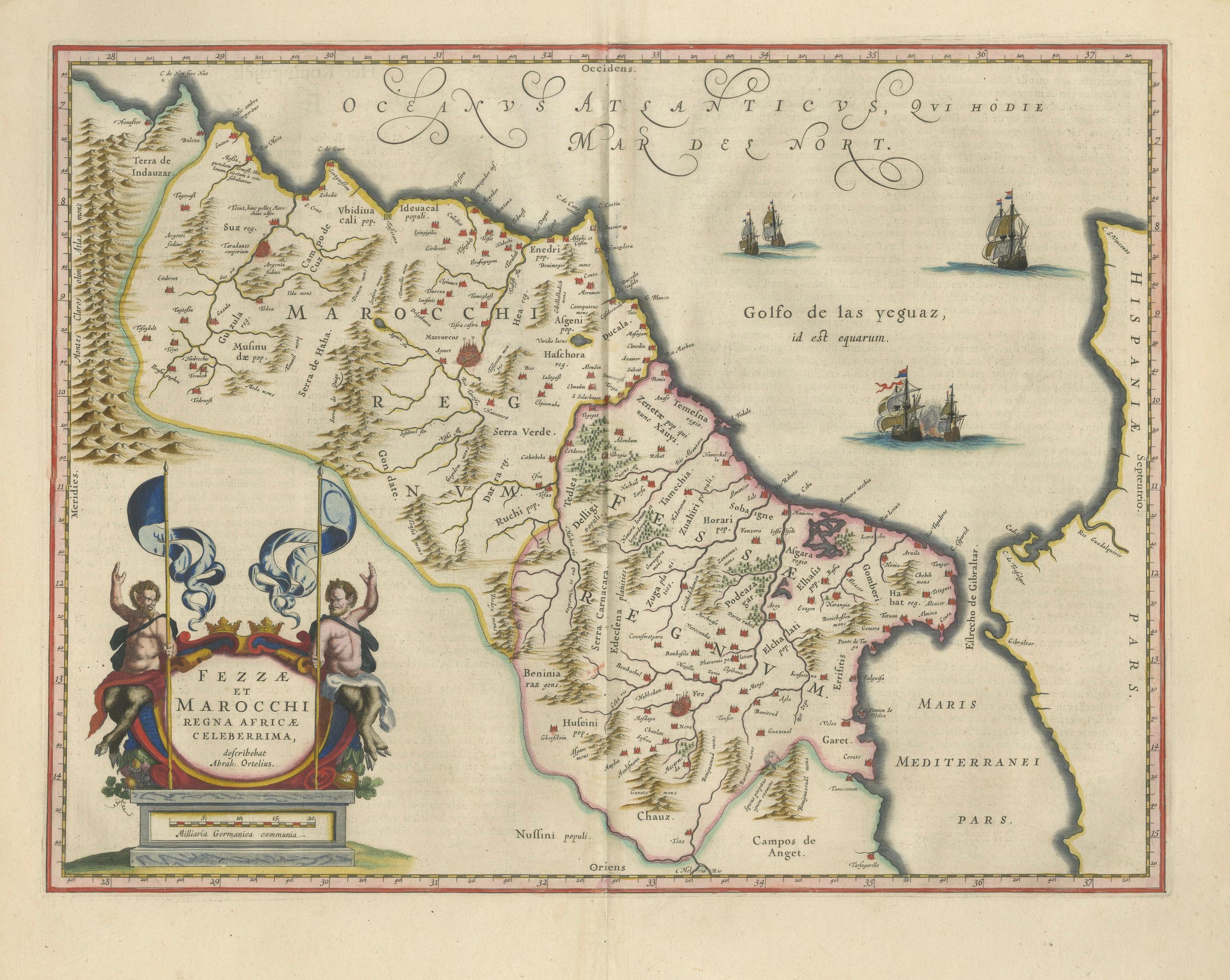
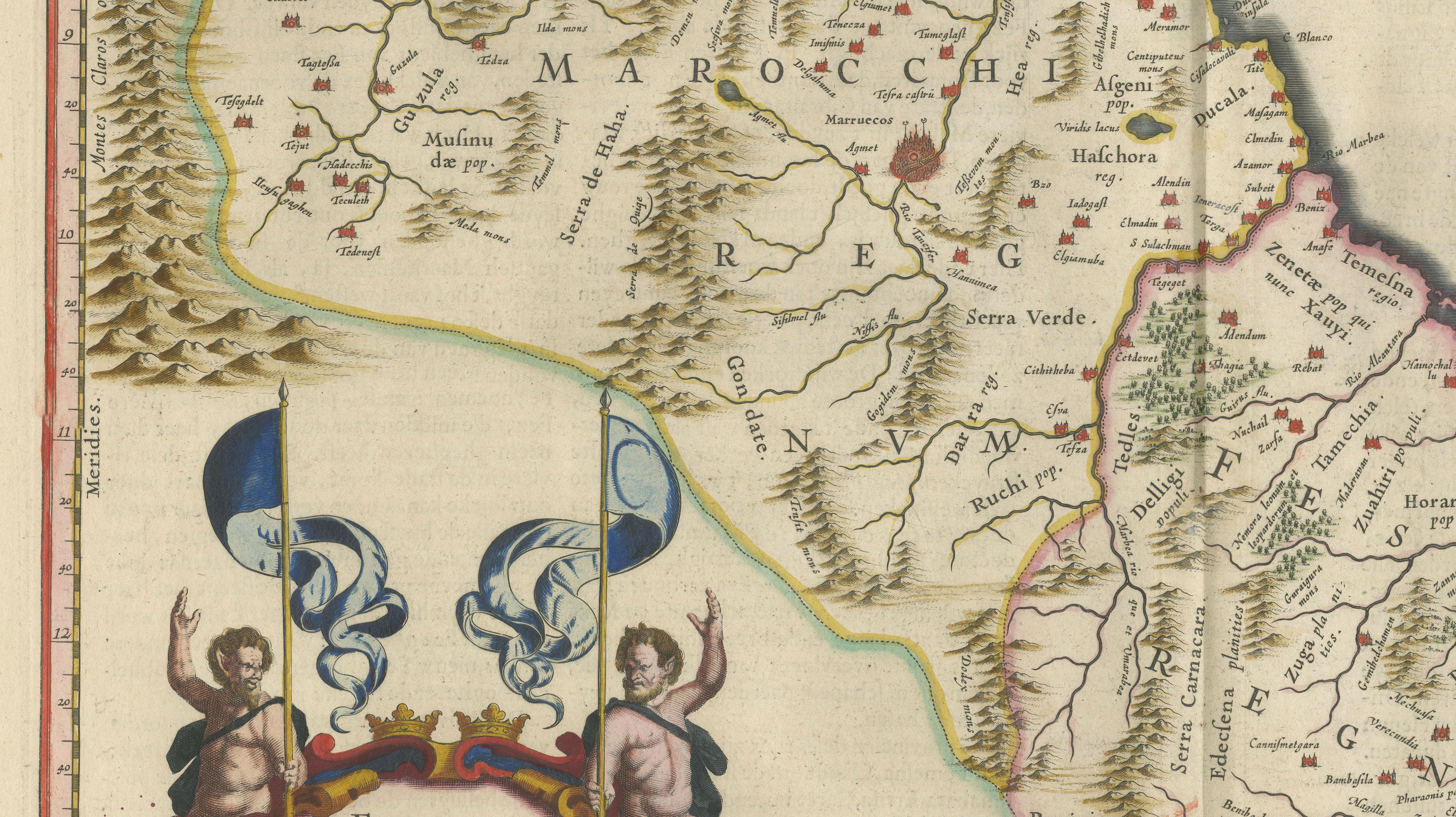
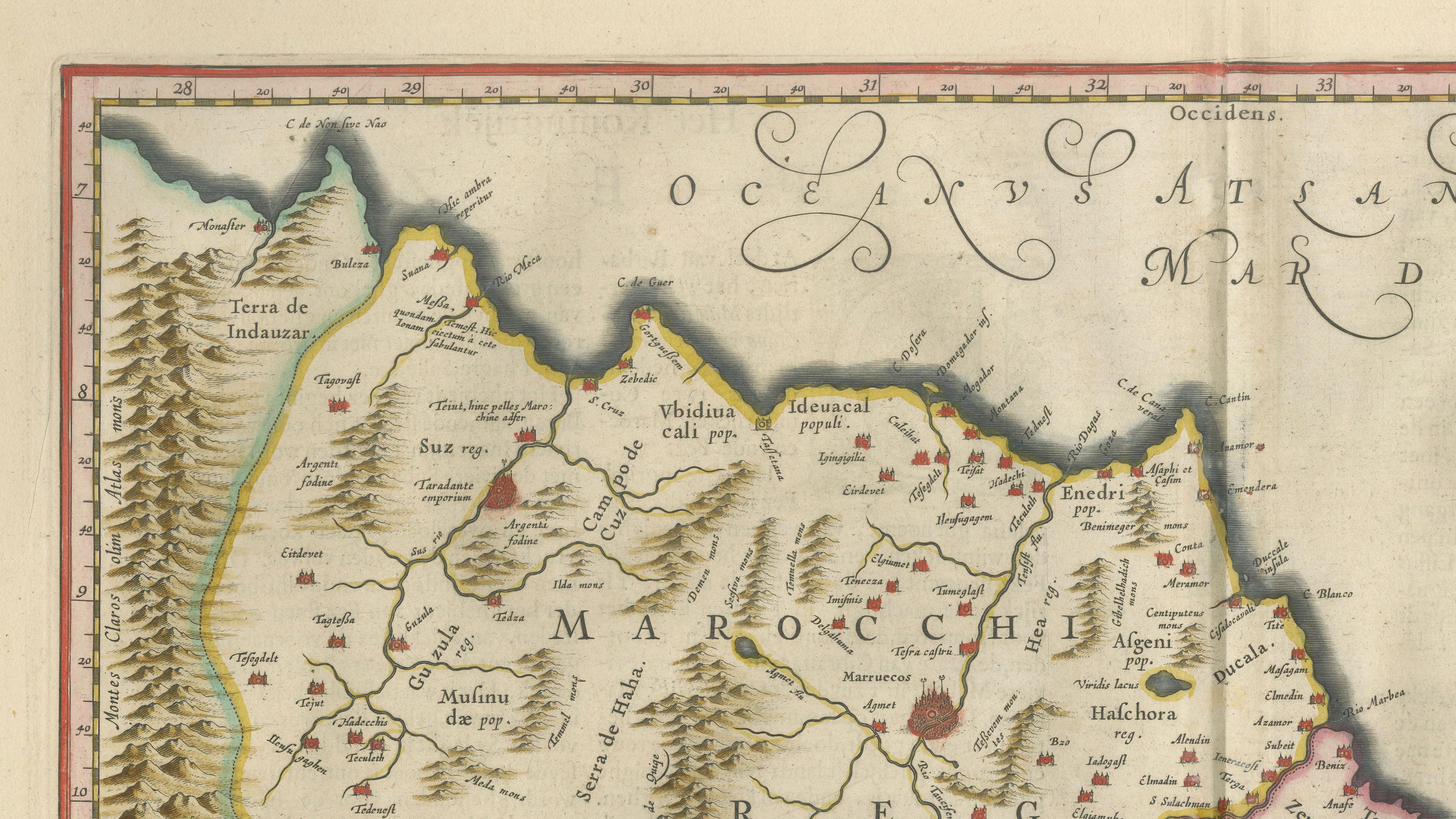
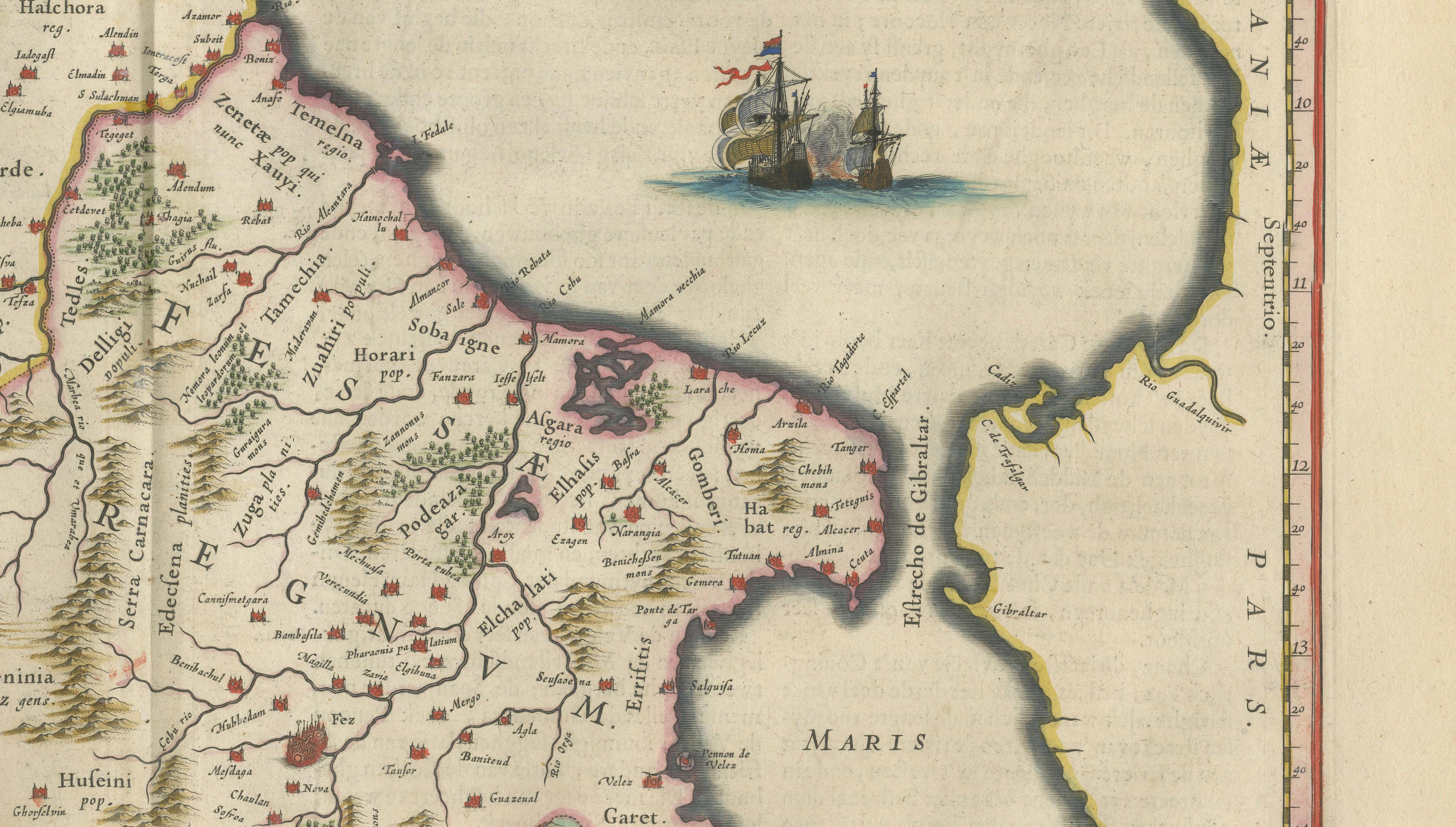
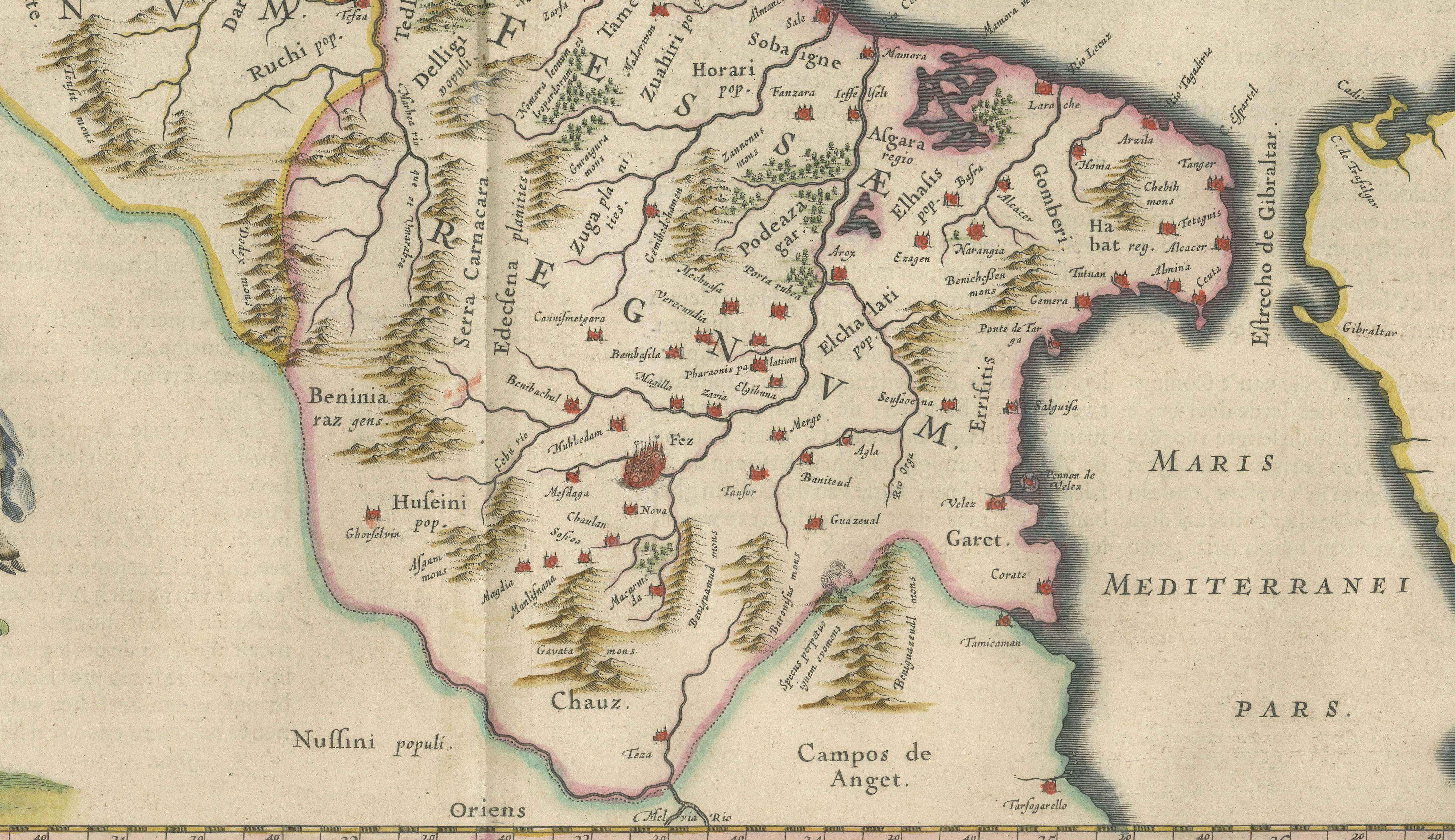
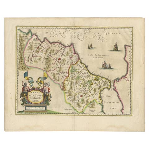
This finely engraved and richly hand-colored map of Morocco is one of the most decorative and desirable regional maps from the celebrated Dutch Golden Age cartographer Willem Blaeu. Issued in the monumental atlas Toonneel des Aerdrycx (c.1640–1645), it presents the kingdoms of Fez and Marrakesh (Marocco) with remarkable clarity and artistic refinement.
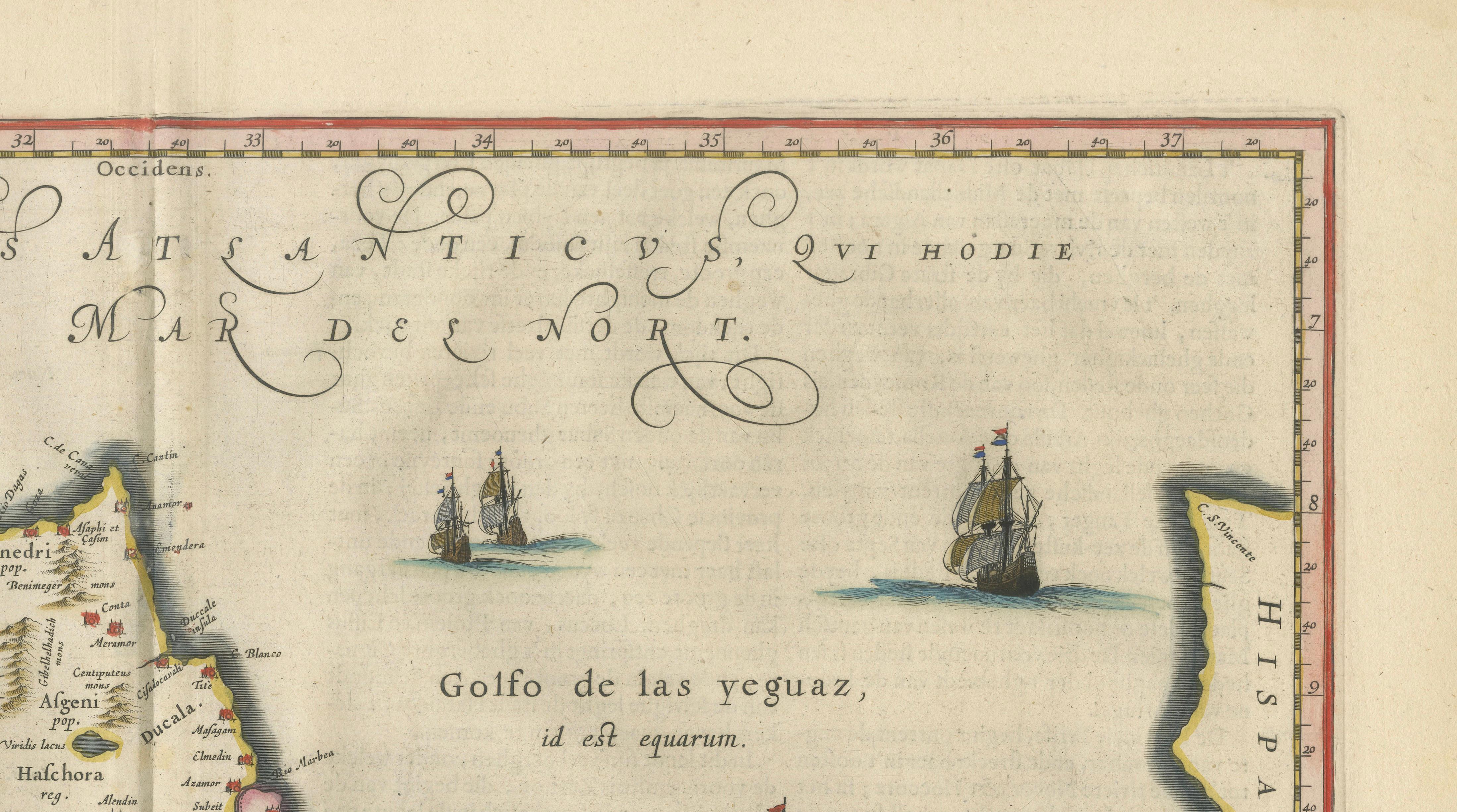
The map depicts the northwest of Africa with detailed topography, including mountain ranges, rivers, and settlements across present-day Morocco. Coastal outlines are elegantly rendered along both the Atlantic Ocean and the Mediterranean Sea, with sea routes animated by finely engraved sailing ships. Across the upper right, the Spanish coast is indicated, emphasizing the geographic and political proximity between Europe and North Africa.
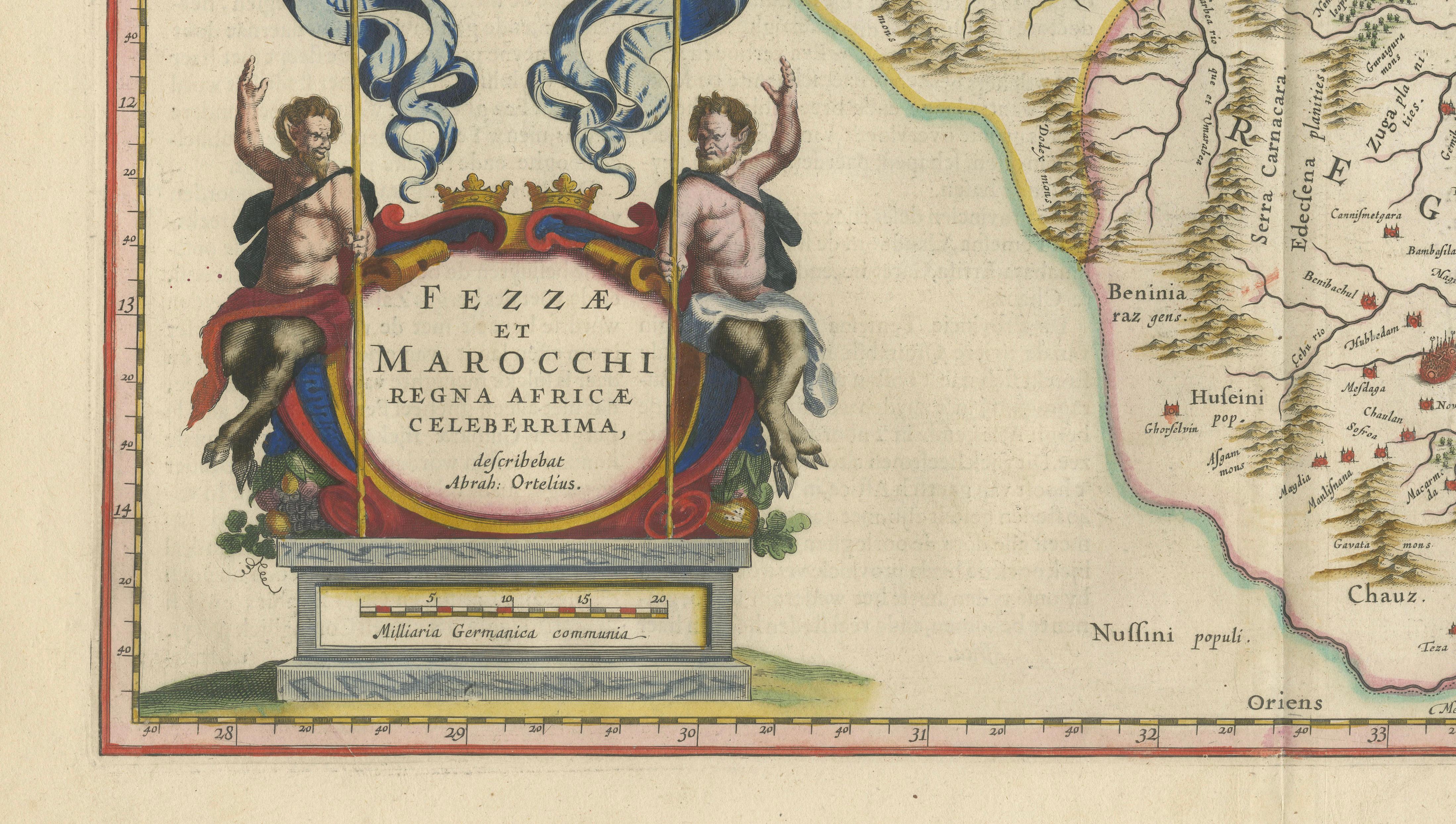
Blaeu’s work is celebrated not only for its geographic accuracy but also for its artistic embellishment. The lower left features an elaborate cartouche supported by two classical figures holding banners, framing the title: Fezzae et Marocchi Regna Africae Celeberrima. This decorative element reflects the grandeur and prestige associated with Blaeu’s atlases, which were produced for Europe’s elite collectors and scholars.
Original hand coloring enhances both the visual appeal and the readability of the map, highlighting regional boundaries and coastal areas. The engraving is crisp, with strong contrasts and fine detail, typical of Blaeu’s high production standards.
Maps of Morocco from Blaeu’s atlas are highly sought after for their decorative impact and historical significance, representing early European knowledge and interpretation of North Africa. This example is particularly attractive due to its balanced composition, ornamental cartouche, and vibrant original color.
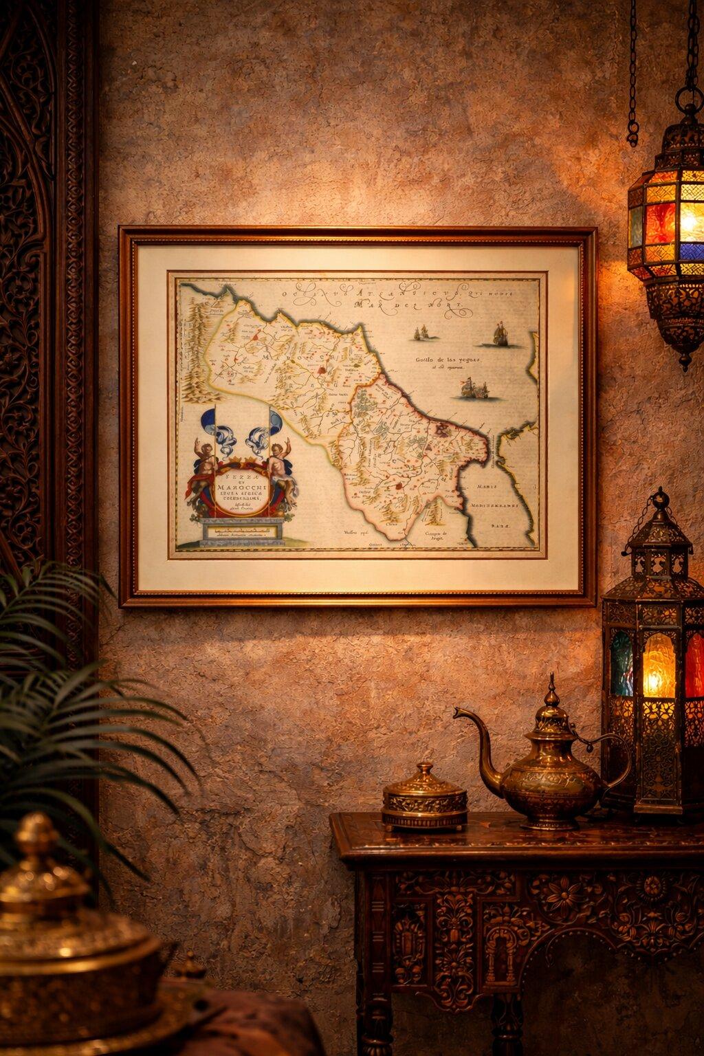
This is an original 17th-century engraving, not a reproduction. All items we offer are authentic period works of art over 100 years old. The map is sold unframed; any framed images are shown for presentation and interior inspiration only.
Condition: Good condition with age-related toning. Minor discoloration in the margins. Original fold line as issued. Paper remains strong and stable. A well-preserved and attractive impression.
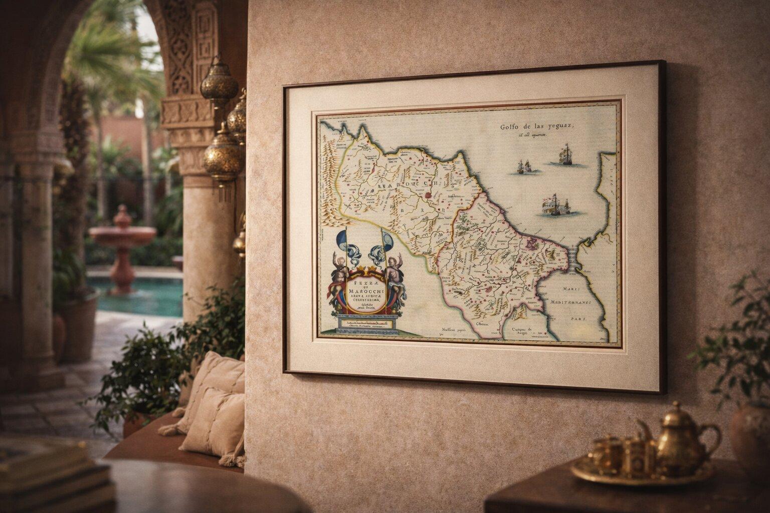
Framing tips: This map benefits from a dark walnut or ebonized frame with a wide ivory or museum-white mat to enhance its rich colors and decorative cartouche. A slightly darker wall tone (taupe, olive, or deep neutral) will elevate the warm tones and create a refined, gallery-style presentation.
Keywords: Morocco map, Fez, Fes, Marrakesh, Marrakech, Rabat, Casablanca, Tangier, Tanger, Meknes, Meknès, Agadir, Essaouira, Mogador, Tetouan, Tétouan, Chefchaouen, Atlas Mountains, Rif Mountains, Maghreb, North Africa, Barbary Coast, Strait of Gibraltar, Gibraltar, Spain coast, Andalusia, Cadiz, Seville, Mediterranean Sea, Atlantic Ocean, African kingdoms, Fez Kingdom, Marrakesh Kingdom, Blaeu Morocco, Willem Blaeu map, antique Africa map, Dutch Golden Age map, Toonneel des Aerdrycx, 17th century engraving, hand colored map, Atlas Blaeu, decorative antique map, historical cartography, Islamic world map, trade routes map, old world map
Technique: Copperplate engraving with original hand-coloring
Maker: Willem Blaeu, Amsterdam, c.1642